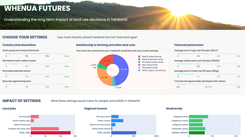
Whenua Futures - A tool for Tairāwhiti
Climate
Biodiversity
Forestry
Planning
Regeneration
Sustainability
Wellbeing
Explore land use impacts of different land uses in Tairāwhiti with this interactive forestry tool.
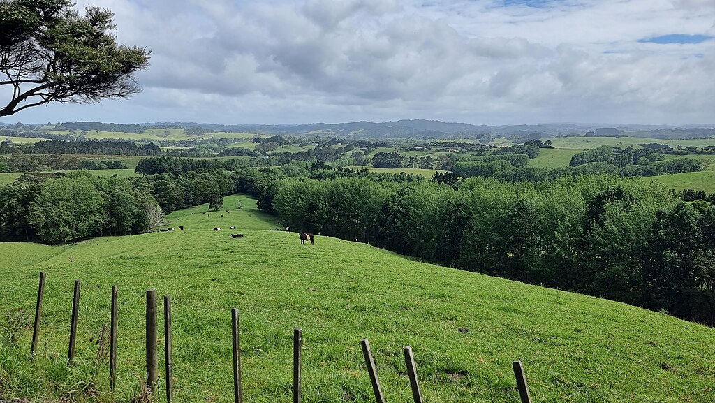
This excellent tool can help you choose the right tree species for your farm. It lets you input factors like altitude, rainfall, drainage, soil depth, soil drainage, and your targeted financial return and then provides detailed factsheets for suitable trees.
Photo by Robin Capper licensed under CC BY-SA 2.0.
Explore land use impacts of different land uses in Tairāwhiti with this interactive forestry tool.
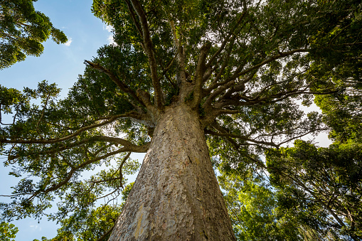
Guidance about how to choose between planting and natural regeneration for forest restoration.
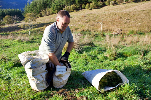
Get tips and advice for planting trees for harvest.
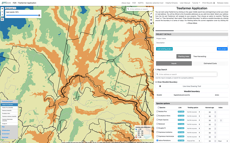
Treefarmer is a powerful free web tool to help small-scale forest growers plan tree planting and manage harvests.
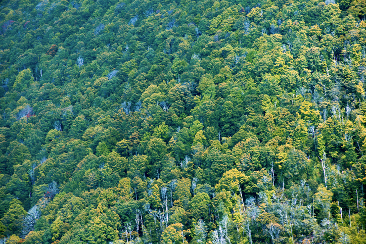
Learn about the best tree species for reducing erosion on steep slopes in different parts of Aotearoa.
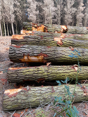
A practical guide for woodlot owners to understand the volume and value of their planted trees.
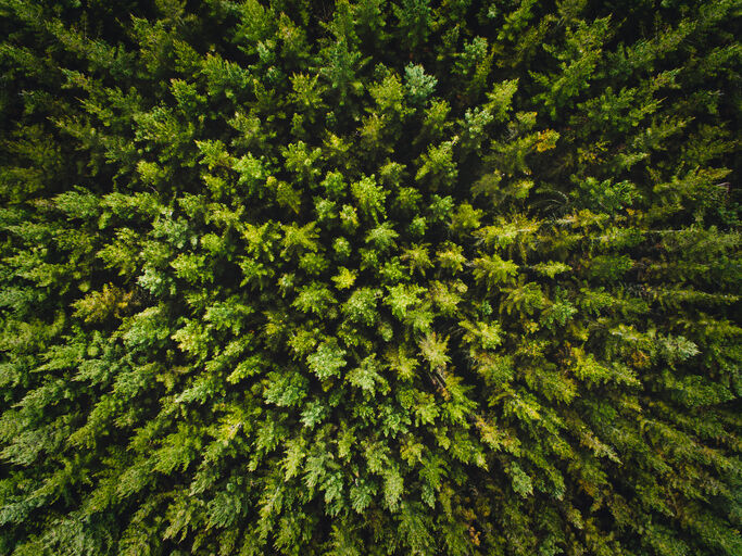
Find links to tools for choosing the right tree species for your site.
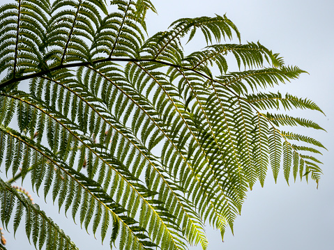
Learn how to grow native trees using ecological principles.
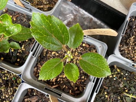
This guide can help you choose the right tree species for forestry on your whenua.
Calculate your carbon footprint and learn how to reduce it with tools and tips from Tane's Tree Trust.
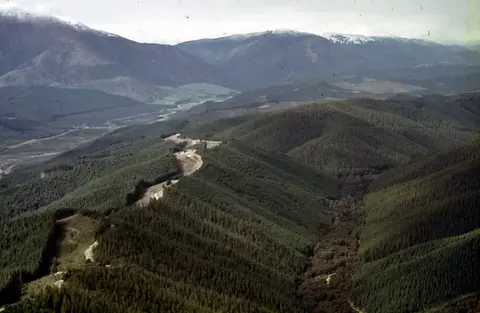
Understand the key considerations for land owners when considering entering the ETS.
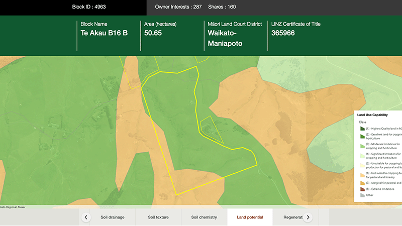
Explore different regulatory, soil, water, and land potential maps for your whenua.
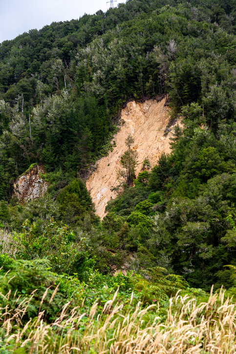
Learn how to control erosion in forestry through careful planning and tree selection.
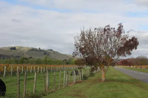
Get high-level soil classification data for Te Ika a Māui to help with land use decisions.
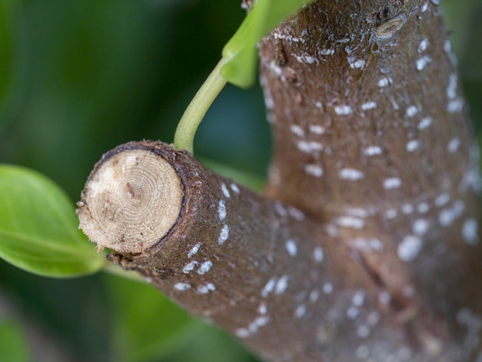
Choose the right silviculture regime for your forest based on costs, wood yield, and market demand.

This widely used map estimates the land's potential for agricultural production.
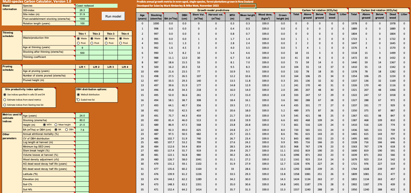
Calculate forest growth and carbon for New Zealand tree species using data about your whenua.
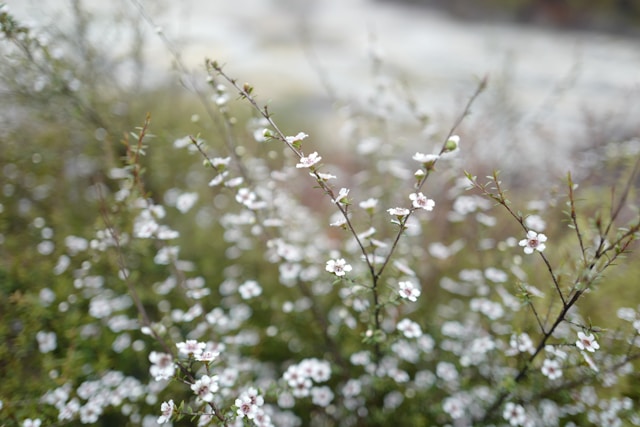
Find out which plant species will grow best in different Waikato landscapes.
Learn who carries the risk when you sell trees or forestry rights.
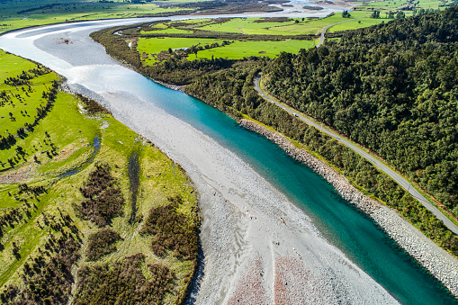
Learn how to plant trees along waterways to improve freshwater outcomes.
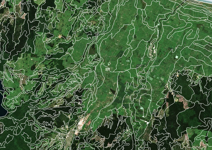
Get high-level soil classification data for Te Wai Pounamu to help with land use decisions.
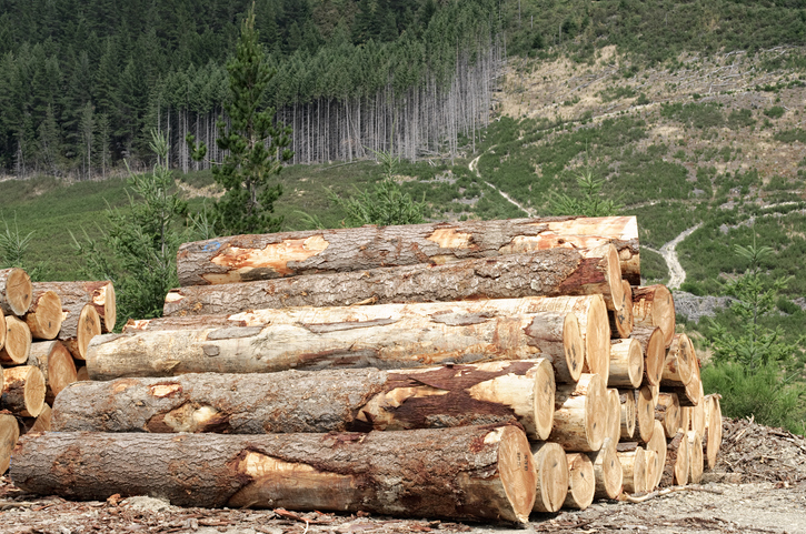
Explore the industry data behind MPI's wood availability forecasts.
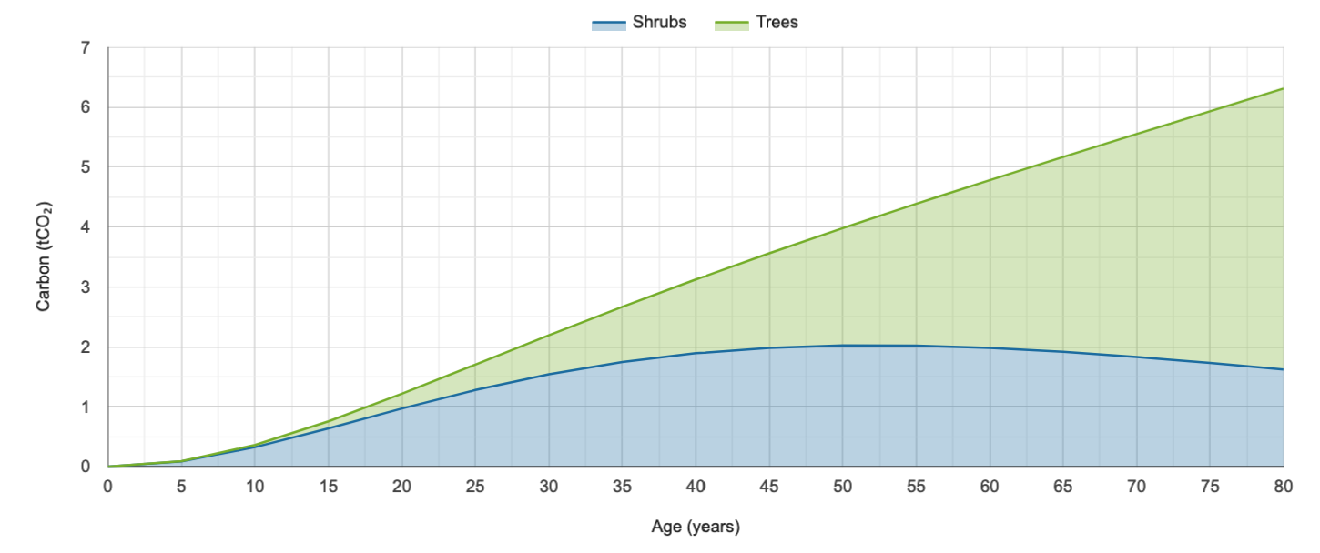
Calculate carbon storage in native forests and find planting needs to offset your footprint.