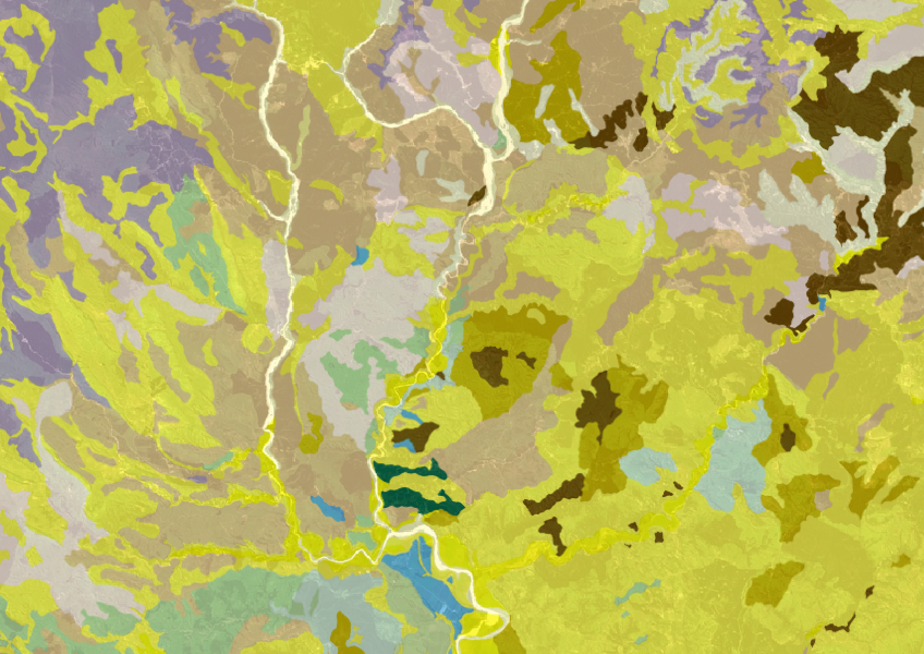
Fundamental Soils Layer (FSL) - Soil Classification
Whenua
Planning
Soil
Sustainability
Get a better understanding of soil types on your whenua and across Aotearoa.
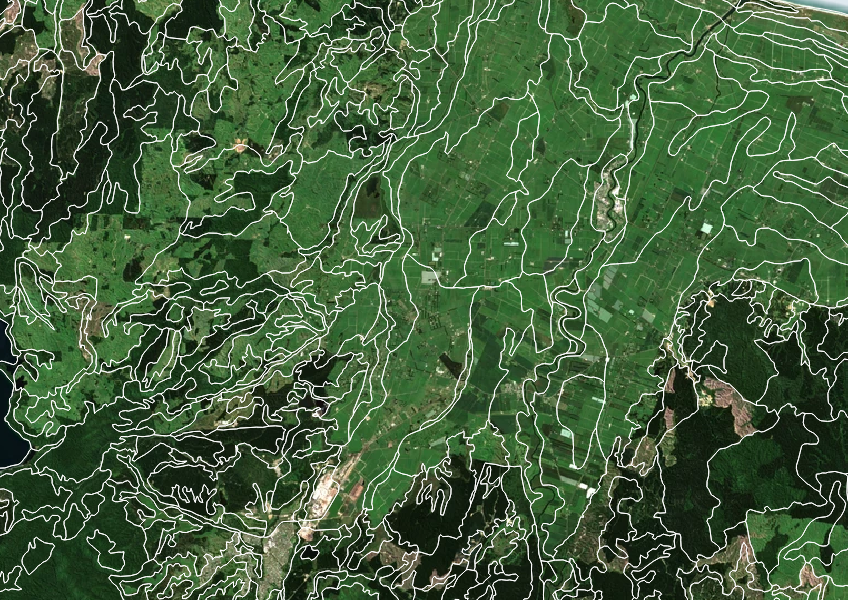
The Fundamental Soils Layer (FSL) is a tool that helps you understand the soil in your area. It shows 16 key soil features, like slope, depth, pH, and drainage. This information can guide you in choosing the right crops or farm activities that match your soil type. The data comes from regional soil studies collected over several decades. Keep in mind that it’s a general guide, and some areas may have less detailed information. Use this map to make informed decisions about your land and how to use it best.
Licensed under Creative Commons Attribution 4.0 International.
Get a better understanding of soil types on your whenua and across Aotearoa.
Get high-level soil classification data for Te Ika a Māui to help with land use decisions.
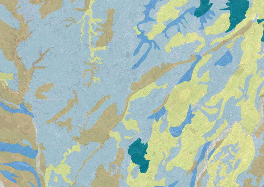
Explore soil drainage classes for land use and growth insights.
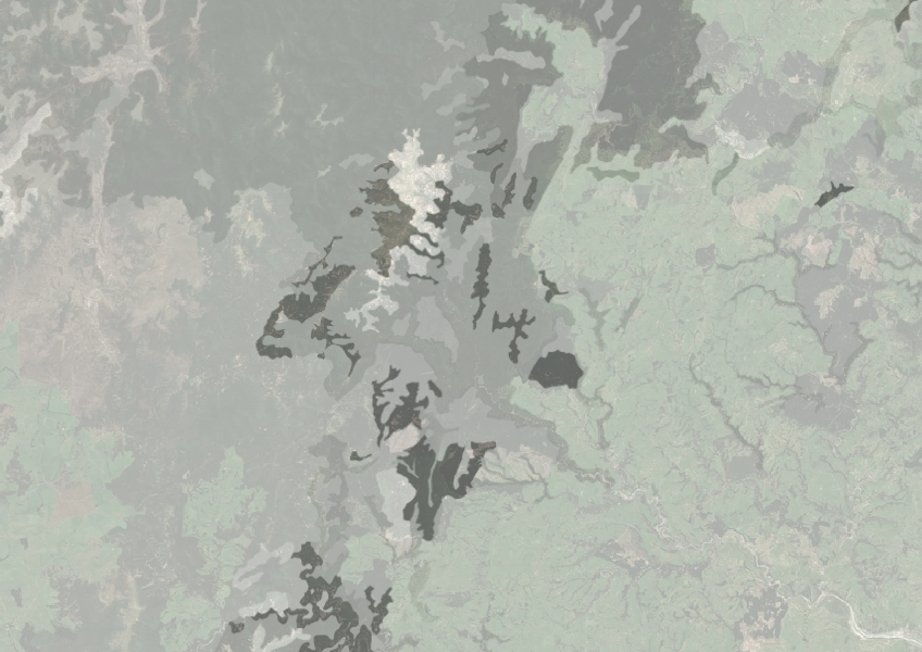
Understand how rocky your whenua is so you can make better land use decisions.
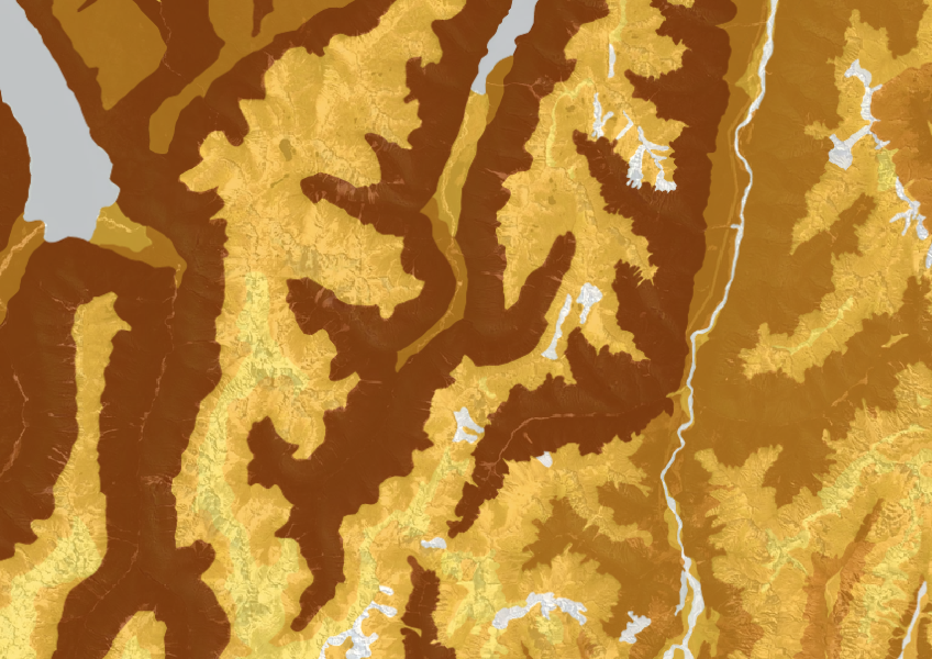
This dataset shows soil cation exchange capacity which can help you understand soil health.
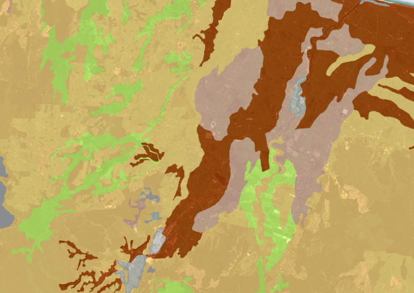
A dataset that estimates soil temperature across the motu.
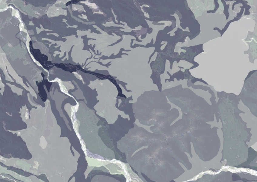
Data on gravel content in topsoil across New Zealand, useful for land use planning.

This map shows erosion types and estimated severity across Aotearoa.

These posters show different Māori weather signs across Te Wai Pounamu.

Te Wai Pounamu kaitiaki share their mātauranga about weather indicators.
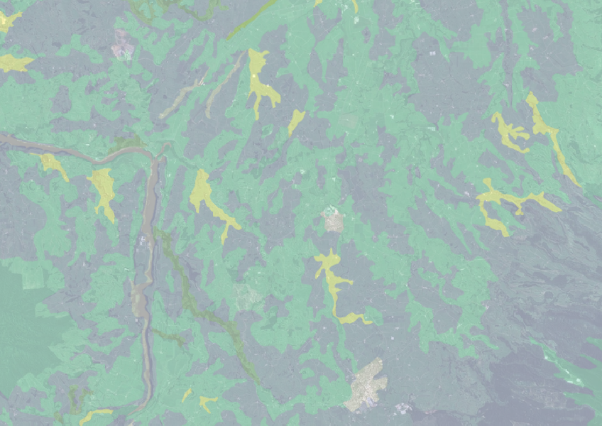
Find how deep you go before soil drainage slows across New Zealand.
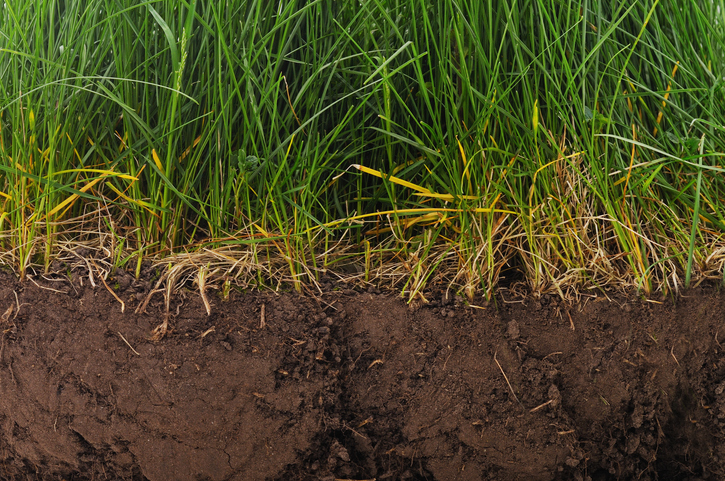
Find factsheets about how to manage different Northland soils.
Learn about soil's role in farming and improve soil management for better production.
Compare how well suited the whenua in your rohe is to growing Sauvignon blanc grapes.

This widely used map estimates the land's potential for agricultural production.
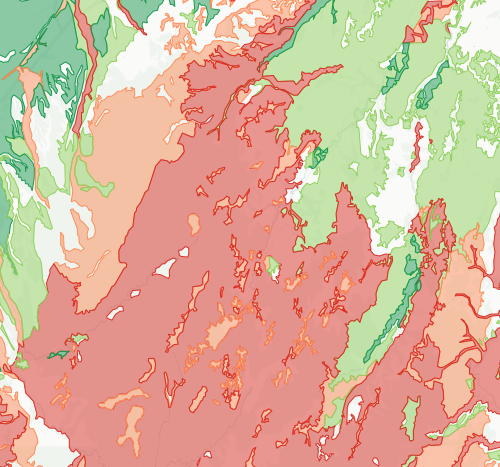
Check how likely nitrogen is to leach through your soil
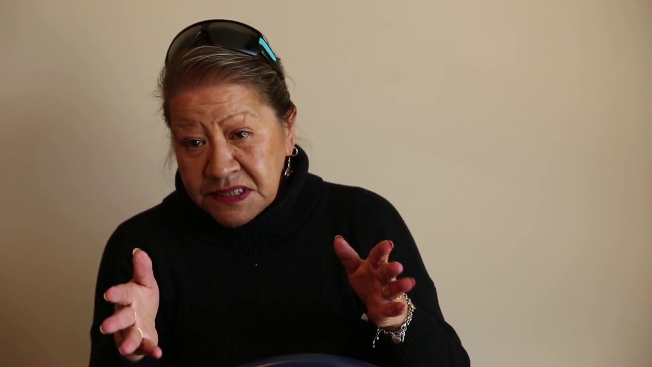
Te Wai Pounamu kaitiaki share their mātauranga about climate indicators.
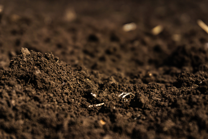
Learn how soil carbon impacts climate change and things you can do on your farm to offset your emissions.
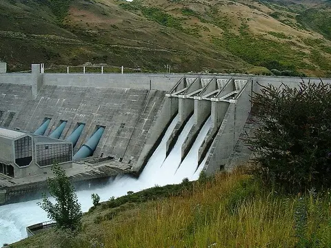
Learn how South Island industry can switch process heat from coal to biomass and electricity.
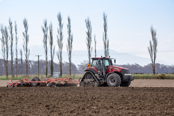
Learn about soil types, assessment, and management for sustainable sheep and beef farming.
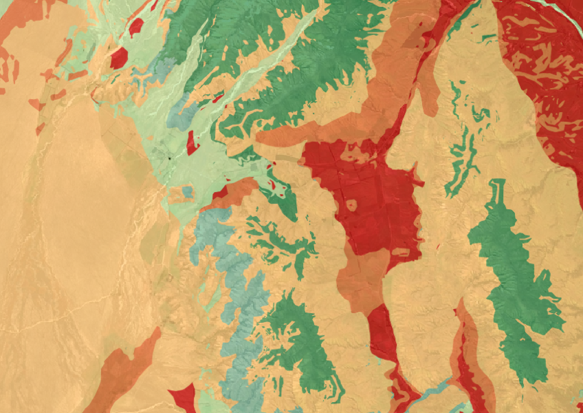
The Threatened Environments Classification can help you better understand the health of your local ecosystems.
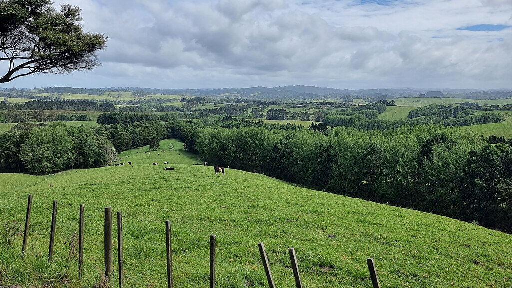
Choose the right tree species for your farm woodlot based on site factors like soil, climate, and wind.