Find Iwi by Map
person found this useful
Te Kāhui Mangai is an interactive map and database of iwi, locations, and contact details for iwi, hapū, and representative organisations.
Have you thought about
Community

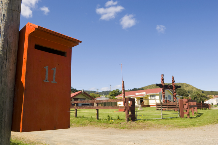
Find information about iwi, hapū and marae
WhānauCommunityMātaurangaSearch for iwi, hapū, and marae info by region or local authority.
Whenua Māori

Te Kāhui Māngai | Directory of Iwi and Māori Organisations
WhenuaGovernanceWhenua MāoriTe Kāhui Māngai helps you find details about iwi, hapū, and marae.
National planning standards factsheet: Information for iwi/Māori
WhenuaPlanningPolicyWhenua MāoriLearn how national planning standards impact iwi/Māori in local resource management.

Tūhono
WhānauCollaborationGovernanceWhenua MāoriTūhono can help you to connect with your iwi and wider whānau.
Sustainability

About Māori land in New Zealand
WhenuaSustainabilityWellbeingWhenua MāoriLearn about Māori land history, ownership, and its significance for iwi and whānau.
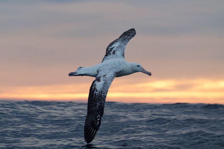
Te Tai Uka a Pia: Iwi relationships with the Southern and Antarctic Oceans
ClimateAdaptationCommunityMātaurangaResilienceSustainabilityPūrakau about Te Moana Tāpokopoko a Tāwhaki, the Southern Ocean
An alternative perspective
Māori research into farm emissions and land care
ClimateEmissions reductionSee how Māori-led projects tackle GHG emissions while supporting thriving whānau and whenua.
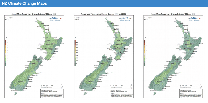
Our Future Climate New Zealand
ClimateAdaptationCommunityEmissions reductionFloodingProductivityRiskExplore how climate change will impact New Zealand's weather and environment over the coming century.
Explore related content
How to get information about Māori land
Whenua
Whenua Māori
Find out how to access information about Māori land and its ownership and governance.

Succession for whāngai
Whenua
Succession
Whenua Māori
Learn about how the Māori land succession process works for whāngai.
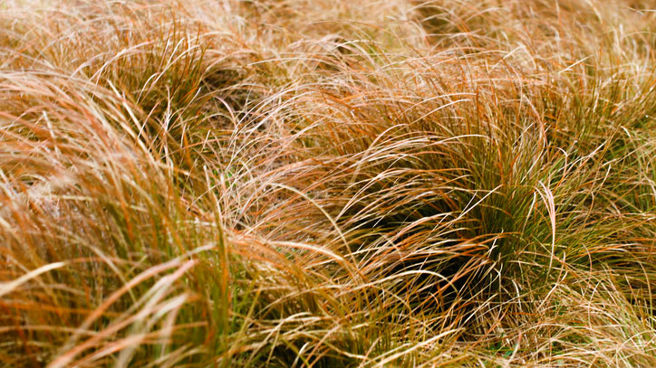
Key to the grasses of New Zealand
Whenua
Biodiversity
Conservation
An interactive key to identify different Aotearoa grass species.
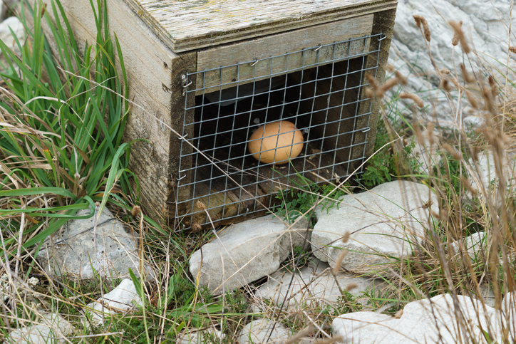
National Map of Predator Control
Whenua
Biodiversity
Community
Conservation
Pests and diseases
An interactive map of predator control efforts across the motu.
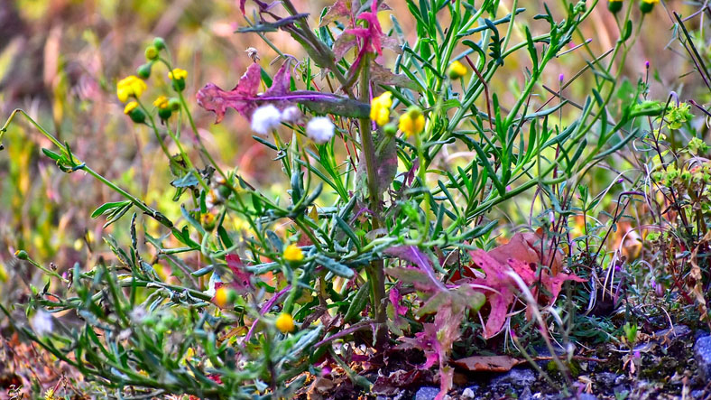
Key to the weed species of New Zealand
Whenua
Biodiversity
Conservation
Pests and diseases
An interactive key to identify different weeds that can be found in Aotearoa.

Waikato Maaori Housing Toolkit
Whenua
Collaboration
Community
Wellbeing
Whenua Māori
A guide to help Waikato Maaori improve housing on their whenua and in their communities.

Hei Matapihi ki te Ao: Toi te Moana, Toi te Whenua, Toitū te Mokopuna: Intrinsic and effective climate leadership
Climate
Adaptation
Community
Mātauranga
Resilience
Whenua Māori
Explore climate leadership rooted in Matapihi's unique cultural knowledge and practices.
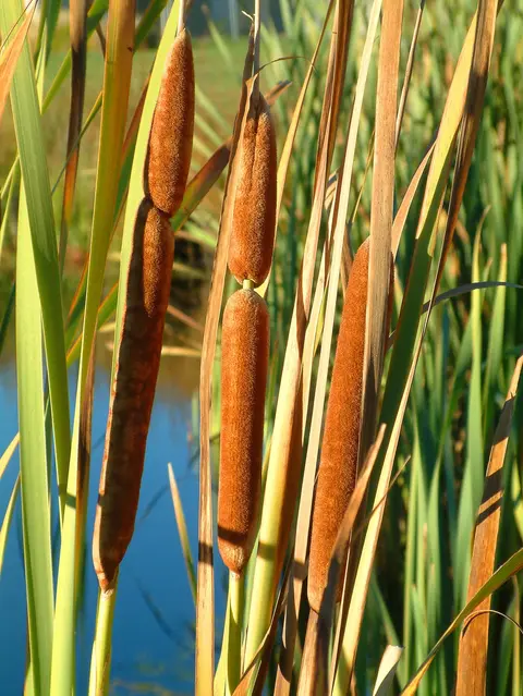
Key to wetland types of New Zealand
Whenua
Biodiversity
Conservation
Water
An interactive key to identify different wetlands that can be found in Aotearoa.
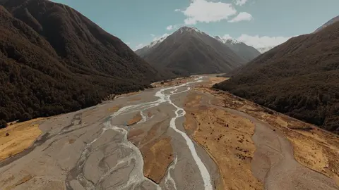
Resilient River Communities projects map
Whenua
Flooding
Resilience
See where river management and flood protection projects are under way.
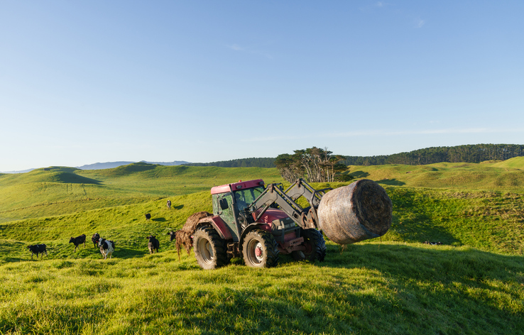
Taking an integrated approach to farm planning: Completing a basic farm plan
Enterprise
Farm planning
Planning
Water
Fill in the basics of a farm plan: your farm, your values and your catchment.
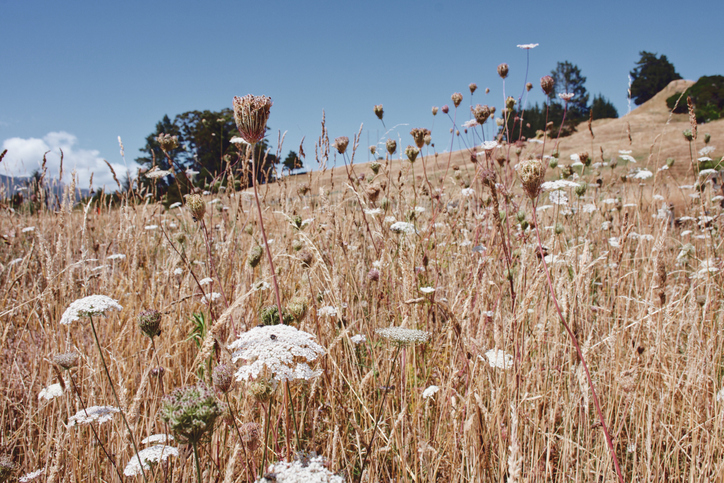
New Zealand Weeds Database
Whenua
Pests and diseases
Find out how to identify and control 78 common weeds.
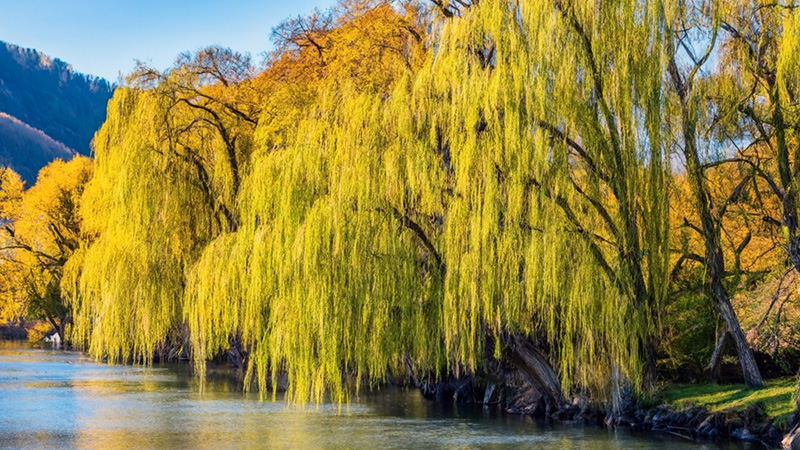
Key to willow species and hybrids present in New Zealand
Whenua
Biodiversity
Conservation
Forestry
Mātauranga
Sustainability
An interactive key to identify different Aotearoa willow species.
No results...
Cards could not be loaded. Please try again later.
Loading...