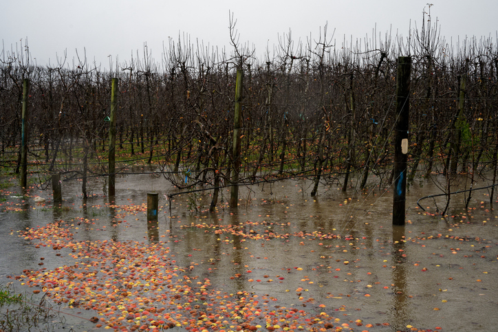
Vulnerable Communities Exposed to Flood Hazard
Climate
Community
Flooding
Resilience
Risk
The report identifies vulnerable communities in New Zealand at risk of flooding.
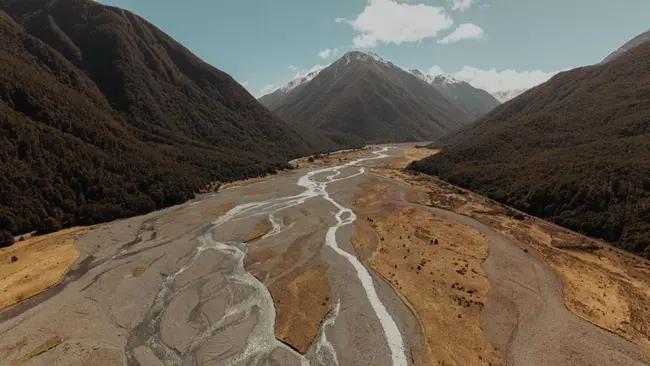
This interactive map from Resilient River Communities shows current river management and flood protection projects around New Zealand. Click a marker to read about a project.
The report identifies vulnerable communities in New Zealand at risk of flooding.

This resource focuses on community engagement for adapting to climate change in New Zealand.
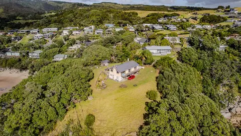
Check how coastal flooding, erosion and river flooding could affect your own property.

Explore sea-level rise projections for New Zealand’s coasts, with local impacts and maps available.
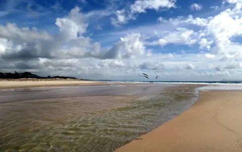
Find out how Northland community groups can apply for climate resilience funding.
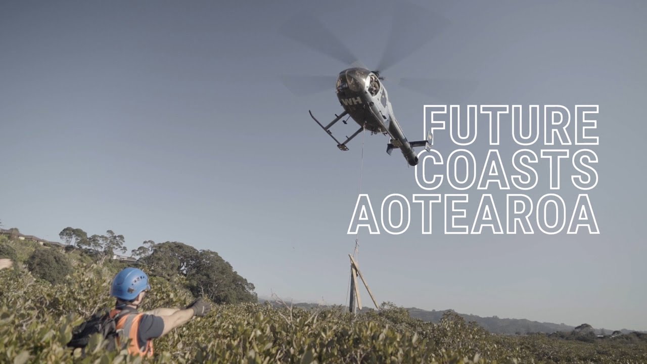
Future Coasts Aotearoa aims to transform coastal areas threatened by rising seas into thriving communities.
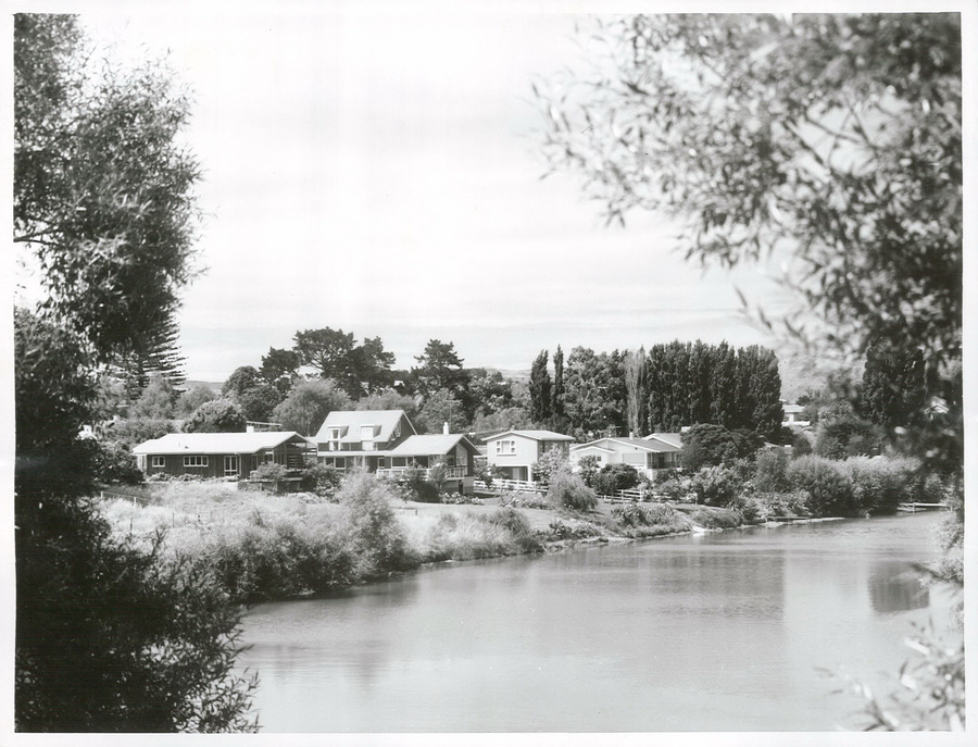
A project to restore the Waimatā River, focusing on ecology and community involvement.
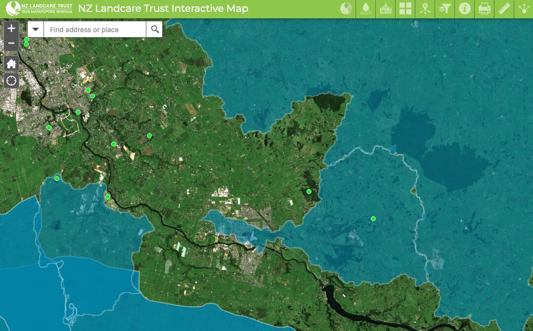
Find catchment and environmental groups and water quality data with this interactive map.
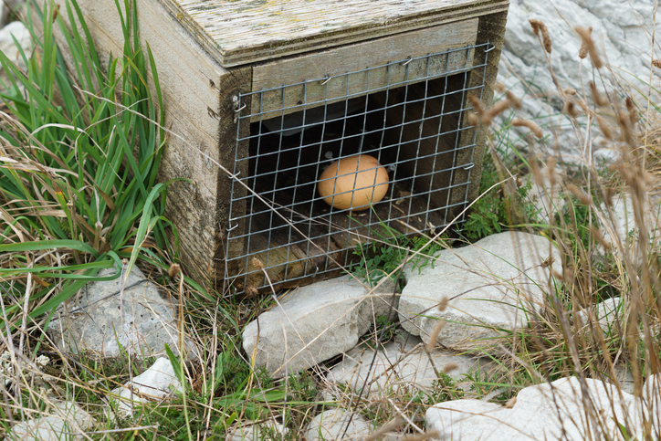
An interactive map of predator control efforts across the motu.
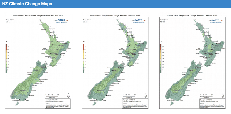
Explore how climate change will impact New Zealand's weather and environment over the coming century.
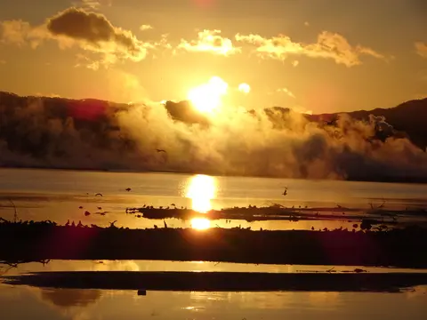
See how Māori-led projects tackle GHG emissions while supporting thriving whānau and whenua.
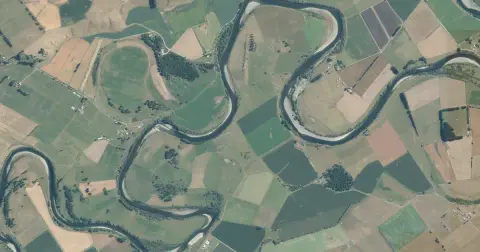
See flood risk maps for your region now and under future climate changes.
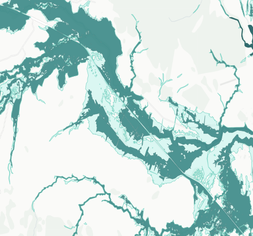
See river flood hazard zones near your Whangārei whenua
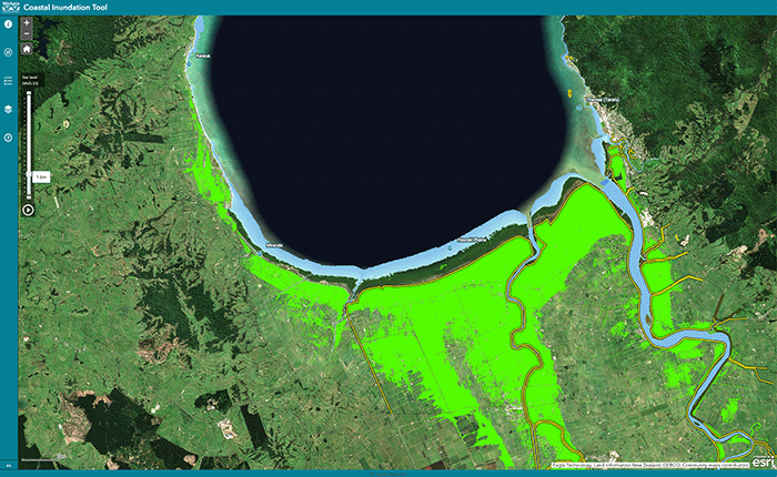
Understand coastal flooding risks in the Waikato region.
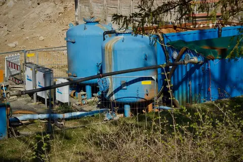
Find out how Northland communities without piped water are building drought resilience.
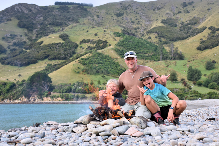
FarmSalus helps farmers focus on wellbeing and resilience for better farm management.
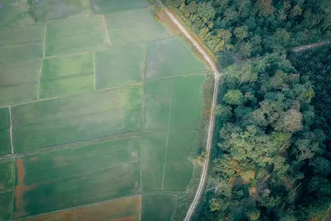
Learn to map your farm with easy webinars on using Google My Maps for project planning.
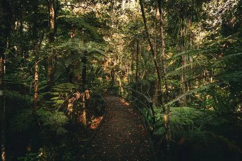
Explore how restoring bush, wetlands and waterways builds Northland's climate resilience.
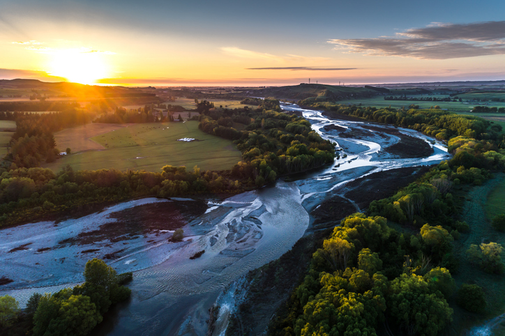
A comprehensive dataset of Aotearoa river catchments that drain to the sea.
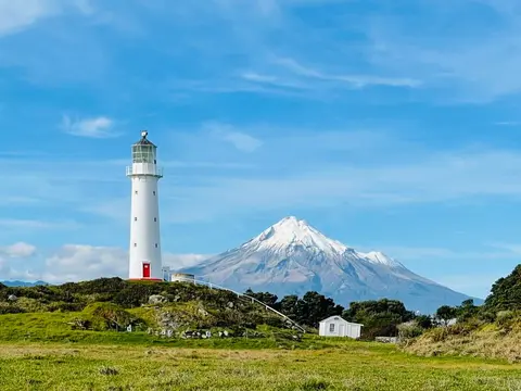
Check live rainfall, river level and water quality readings across Taranaki.
Find data on how climate change affects water in Aotearoa’s rivers and groundwater.
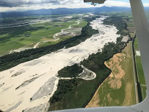
This add-in for Google Earth can help you map flooding using satellite imagery and public datasets.
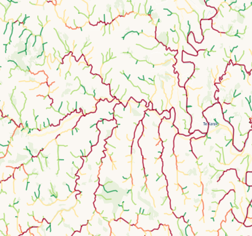
Check which streams on your whenua are most vulnerable to bank erosion.