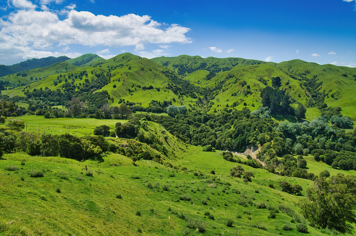
What is Māori land?
Whenua
Whenua Māori
Learn about Māori land, its history, and different types of collective ownership.

This dataset contains polygons for all Māori land blocks defined under te Ture Whenua Māori Act 1993, including Māori freehold land, Māori customary land, and General Title land owned by Māori.
Note: while this dataset is widely used it has not been updated in over 5 years, so you should not use it for legal decision-making.
Learn about Māori land, its history, and different types of collective ownership.
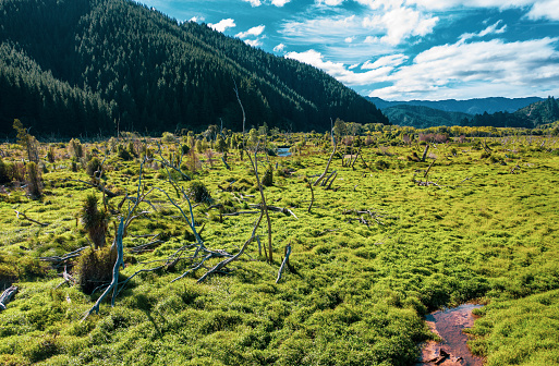
Search Māori land blocks, ownership records, and land status through the Māori Land Court.

Learn key words and concepts relating to Māori land ownership.

Find out who can inherit Māori land and life interests under Te Ture Whenua Māori Act 1993.
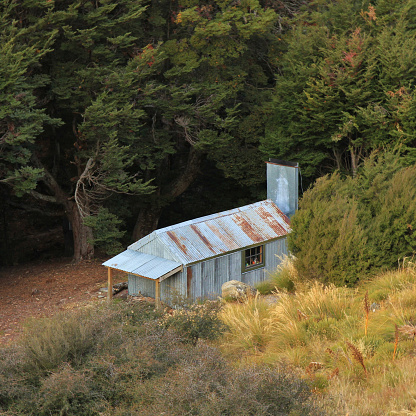
Learn about Māori land laws and court processes.
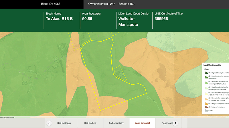
Explore different regulatory, soil, water, and land potential maps for your whenua.

Learn about Māori land ownership, its history, and how it works today.

Learn about the different Māori land structures created by Te Ture Whenua Māori Land Act 1993.
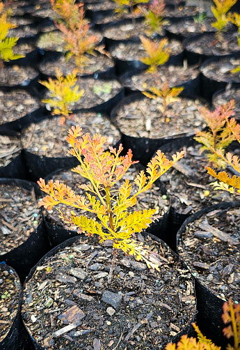
This guide explains how to set up a Māori land trust and what to think about.

Poutama Trust offers funding for Māori businesses to support growth and innovative ideas.

Learn how to manage taxes for Māori land trusts and incorporate for potential tax benefits.
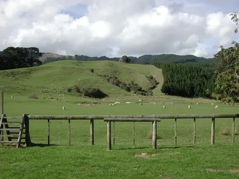
Find out how to access information about Māori land and its ownership and governance.

Get ready for your journey to becoming a Māori land owner.

Learn about how the Māori land succession process works for whāngai.

A short regulatory note on changes affecting trusts under Te Ture Whenua Māori Act.

Learn about succession, which is the legal process for becoming a Māori land owner.
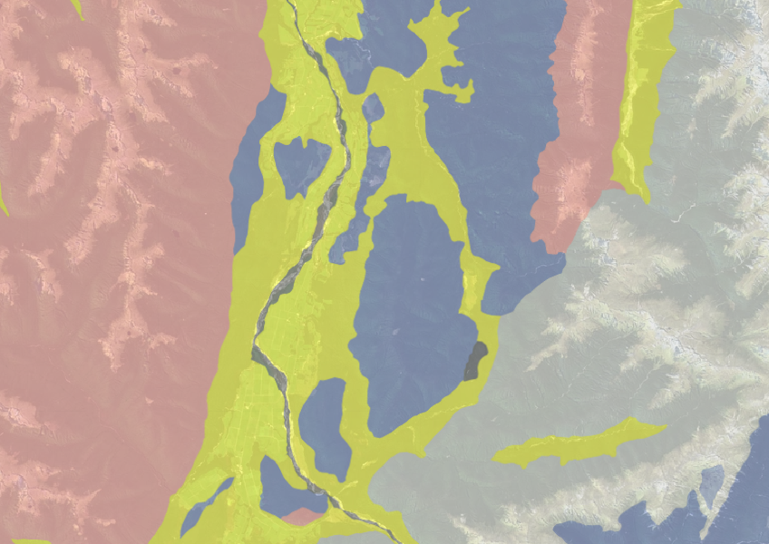
Use the NZLRI rock dataset to understand what type of rock is under your whenua.

Explore the history and functions of the Māori Land Court over the last 150 years.

Search for funding opportunities for your whenua and get support from TPK.

Get one-on-one support to improve your Māori land productivity and management.

Learn about the Māori Land Court's history and its role in supporting Māori landowners.
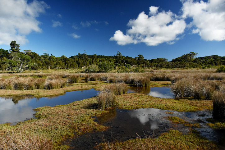
Explore and download spatial data related to Ngā Whenua Rāhui protected areas.

A comprehensive dataset of Aotearoa river catchments that drain to the sea.