Southland Catchment Factsheets
Whenua
Community
Conservation
Water
Factsheets about river catchments in Murihiku | Southland.
This dataset contains polygons for all identified Aotearoa river catchments that drain into the sea. By understanding your local catchment, you can plan for the long-term needs of the waterways and consider how you can contribute to their wellbeing.
Data supplied by Ministry for the Environment (MfE) and licensed under CC BY 4.0.
Factsheets about river catchments in Murihiku | Southland.

Explore coastal flood maps to assess the potential impacts of sea-level rise in your rohe.
Get a 3D printed model of your catchment. It's free or koha for catchment groups.

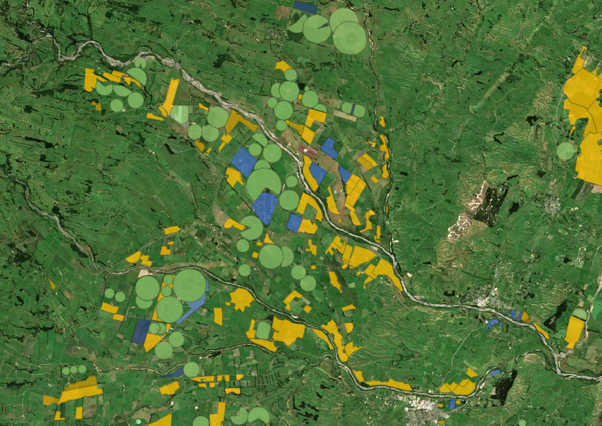
Explore how land use affects soil and water quality across New Zealand catchments.
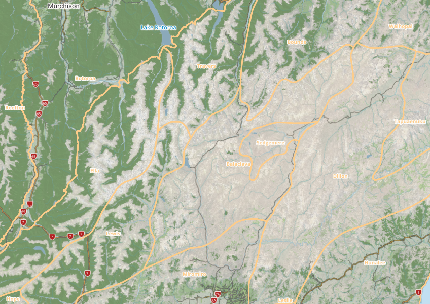
This map shows different areas of Aotearoa that have similar physical and biological characteristics.

Explore sea-level rise projections for New Zealand’s coasts, with local impacts and maps available.
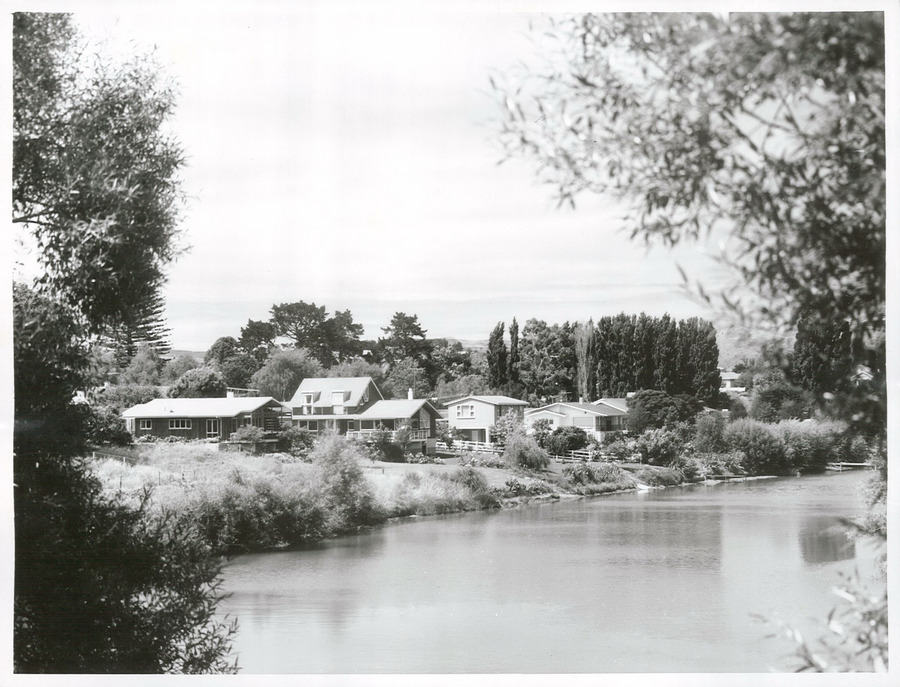
A project to restore the Waimatā River, focusing on ecology and community involvement.
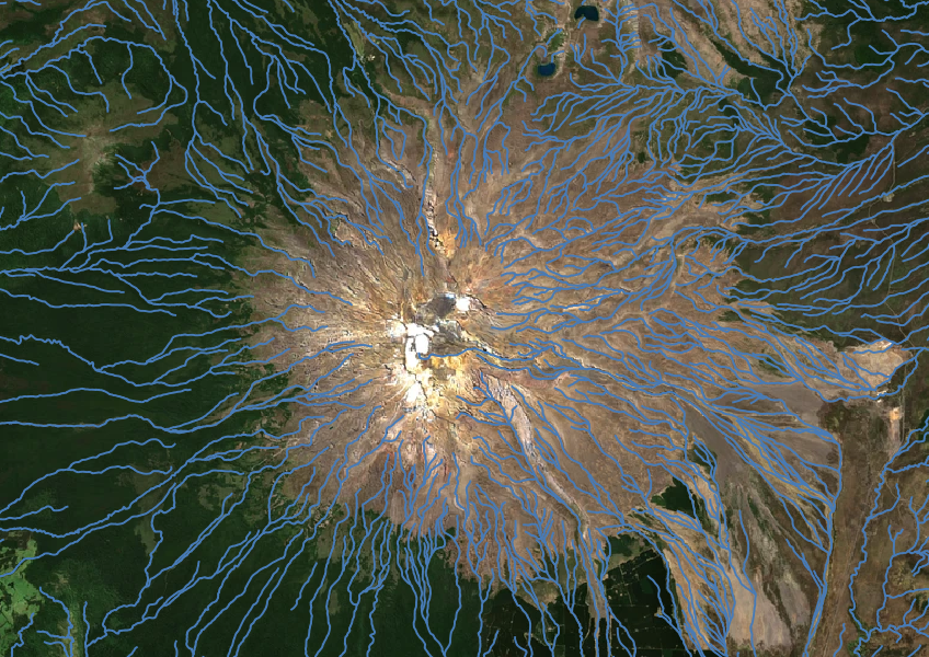
Download a dataset of named and unnamed river lines data for use in your analysis.
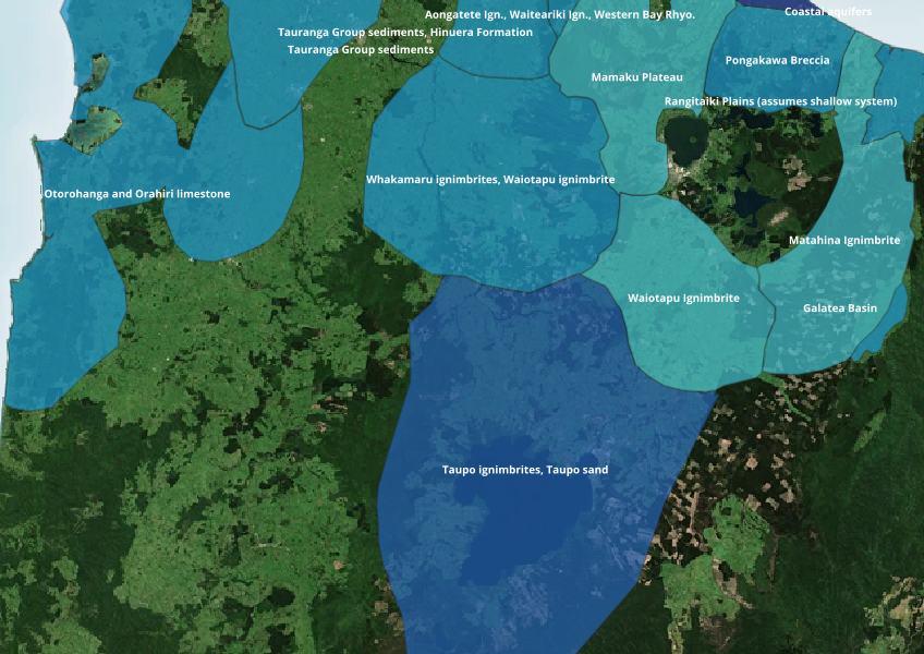
Find out where you might be able to access groundwater in your rohe.
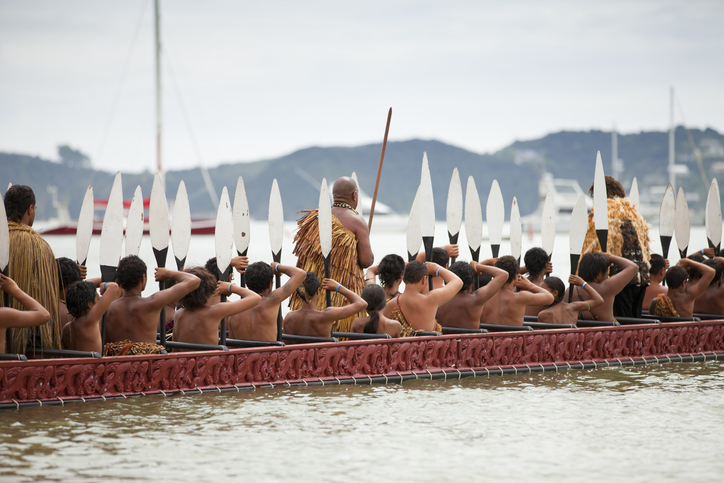
This resource focuses on community engagement for adapting to climate change in New Zealand.
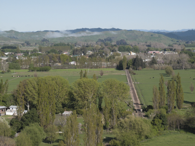
See modelled sediment yields for the Wairoa catchment now and under mitigation.
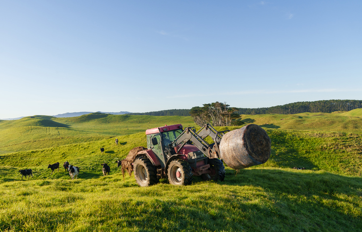
Fill in the basics of a farm plan: your farm, your values and your catchment.
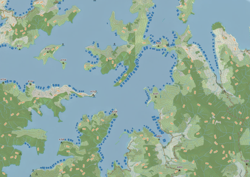
This map shows areas in Aotearoa that are used for aquatic farming.
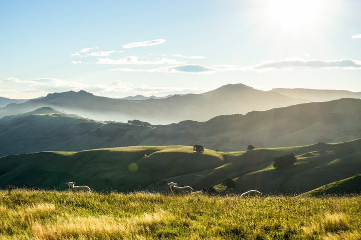
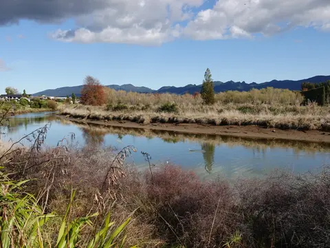
See real examples of waterway restoration actions underway in your rohe.
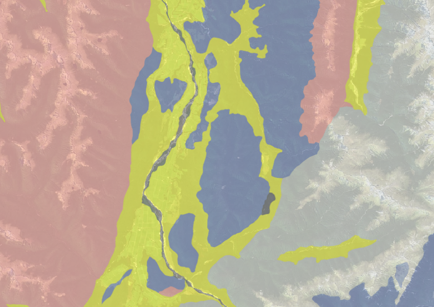
Use the NZLRI rock dataset to understand what type of rock is under your whenua.
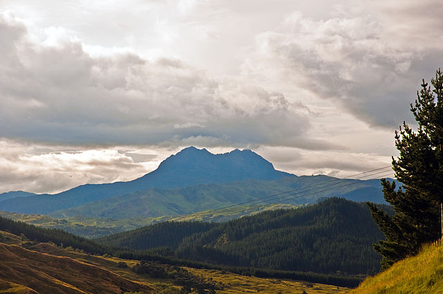
A long-term programme to restore the Waiapu River catchment.
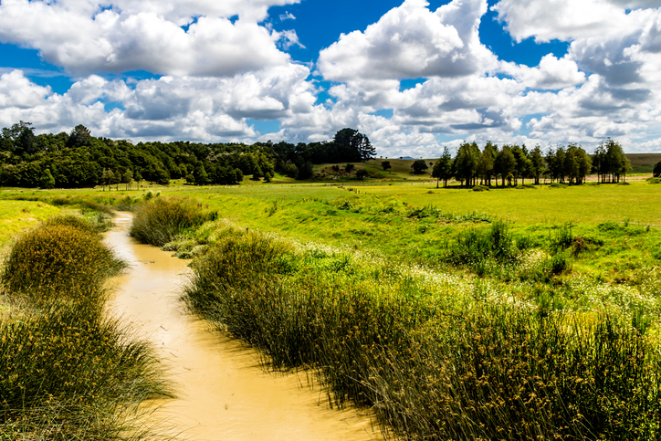
Check the E. coli runoff risk score for land in your rohe or catchment.
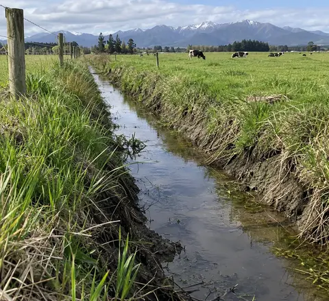
Check the rules before digging or cleaning a drain in Manawatū-Whanganui.
See what might be coming for the Bay of Plenty region, including rising seas and flooding.
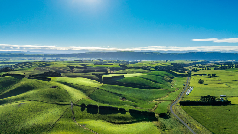
Get help to plan for climate change impacts on your whenua.
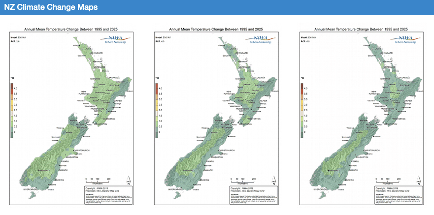
Explore how climate change will impact New Zealand's weather and environment over the coming century.