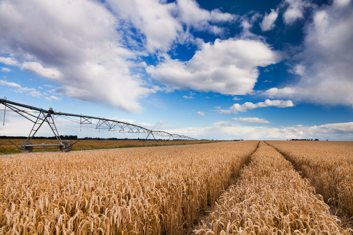
Wheat - Critical climate risks
Climate
Adaptation
Arable crops
Risk
Sustainability
Check how often heat stress could hit wheat in your rohe as the climate changes.
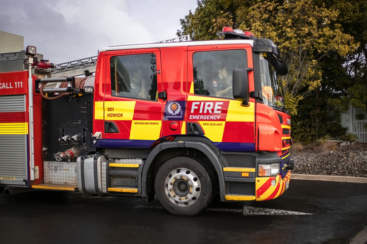
This dataset maps how often very high or extreme fire danger is likely to occur during the fire season, October to April, across Aotearoa, comparing the 1990s with 2040 and 2090.
The map shows the 2040s. Click a point on the map to see the class for that area.
It rates fire danger in five classes, from low to very high, based on the frequency of dangerous fire-weather days each season. A higher class means fire danger is a bigger part of that area's fire season.
Scion built the maps in 2011 by statistically downscaling regional climate model runs to estimate future temperature, humidity, wind and rainfall, then feeding those into standard fire-danger calculations. This is the oldest dataset in the collection, and Scion itself flags it as coarse and due for an update using more recent climate information.
There are some important things to be aware of when using this data:
The full dataset is on the Whitiwhiti Ora site.
Check how often heat stress could hit wheat in your rohe as the climate changes.
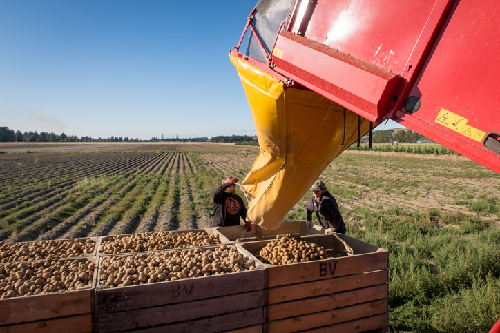
Learn how heat and frost risks for potatoes in your rohe could change over time.
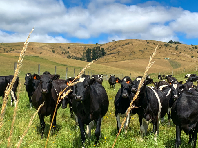
See how many hot days dairy cows in your rohe could face as the climate warms.
Find out how pasture growth on your land could change as the climate warms.
Explore how Aotearoa's regional population could change out to 2100.
Explore how heat and frost risks for peas in your rohe could change over time.
Find out how often heat stress could hit maize in your rohe as the climate changes.
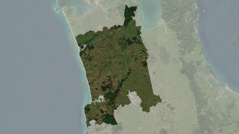
Understand climate event and variability trends for Waikato District.
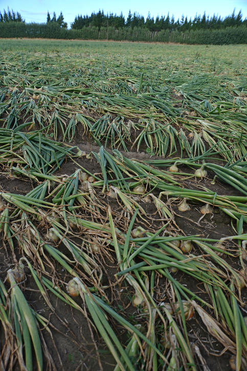
Discover how heat, frost and heavy rain could affect onions in your rohe.
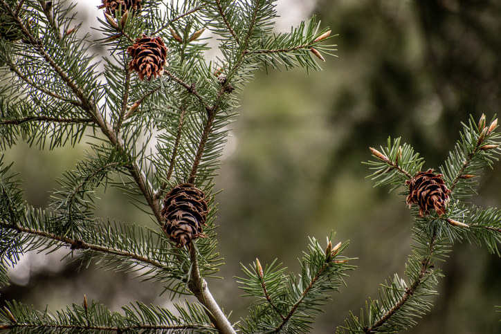
Check how suited your whenua is for planting Douglas fir as a forestry crop.
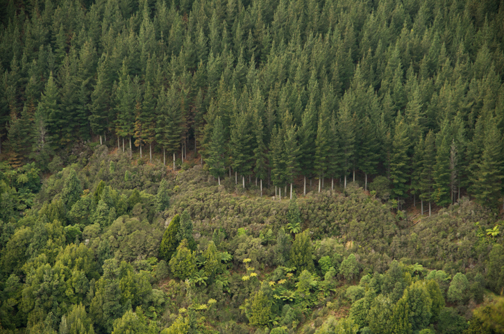
Explore how suited your whenua is for planting radiata pine as a forestry crop.
Explore projected temperature and rainfall changes for Aotearoa online.
See how well suited the whenua in your rohe is to growing apples.
See how often frost and heat could threaten chestnuts in your rohe as the climate changes.
Find out how well suited the whenua in your rohe is to growing avocados.
Explore how much growing season warmth your rohe could have by 2050.
Explore how well cherries could grow in your rohe by 2050 as the climate changes.
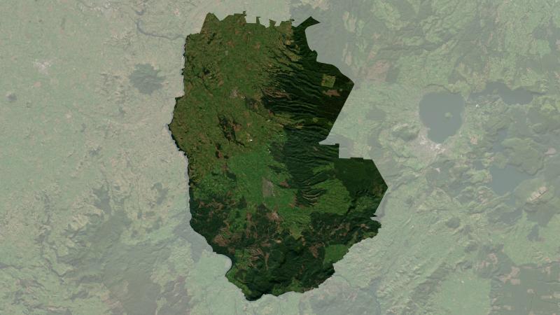
Understand climate event and variability trends for South Waikato District.
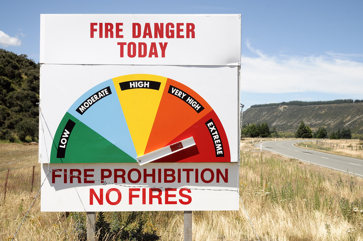
Access fire risk maps and forecasts, plus key weather data for Aotearoa's regions.
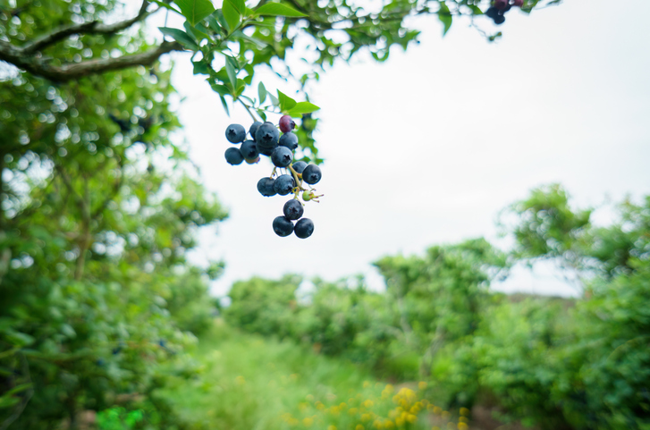
Discover how well blueberries could grow in your rohe by 2050 as the climate changes.
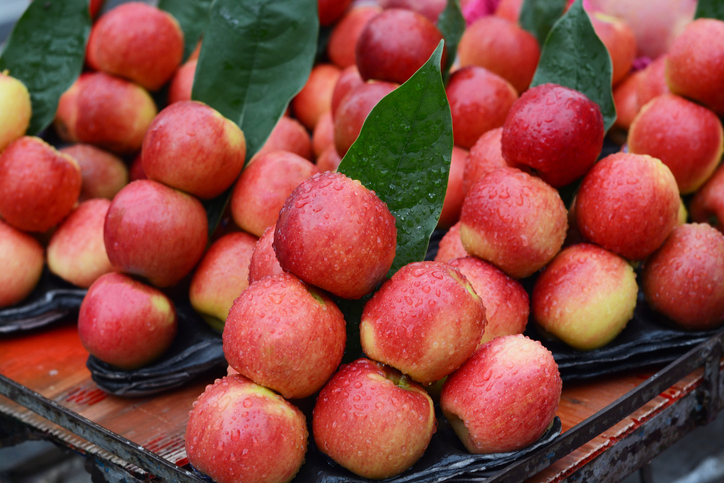
See how well apples could grow in your rohe by 2050 as the climate changes.
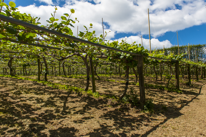
Learn how well kiwifruit could grow in your rohe by 2050 as the climate changes.
Find out how well avocados could grow in your rohe by 2050 as the climate changes.