Forestry advisory service
Climate
Forestry
Sustainability
Wellbeing
Get free forestry advice to grow trees, manage forests, and understand your responsibilities.
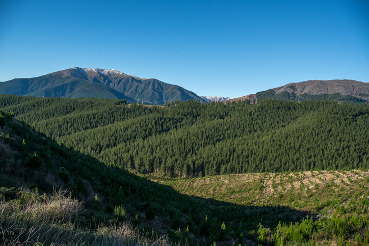
A guide to mapping forest land for the Emissions Trading Scheme (ETS) can help you determine if your forest areas qualify for the ETS. It provides a detailed, step-by-step explanation of the rules for accurately mapping forests on your whenua, ensuring consistent records in the database and assessing eligibility for carbon credits under the ETS.
Get free forestry advice to grow trees, manage forests, and understand your responsibilities.
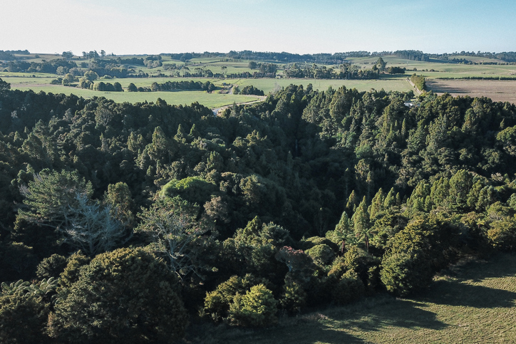
Learn how tree planting on farms can earn carbon credits in the Emissions Trading Scheme (ETS).
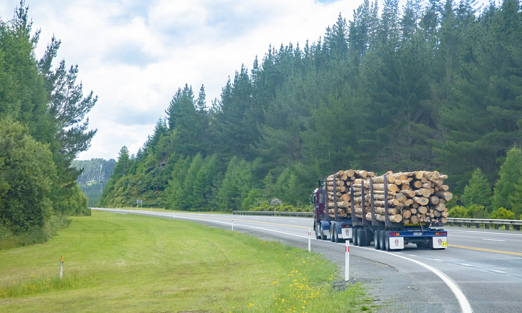
Learn about joining the forestry section of New Zealand's Emissions Trading Scheme (ETS).

Learn about the role tree planting can play in reducing climate change impacts.
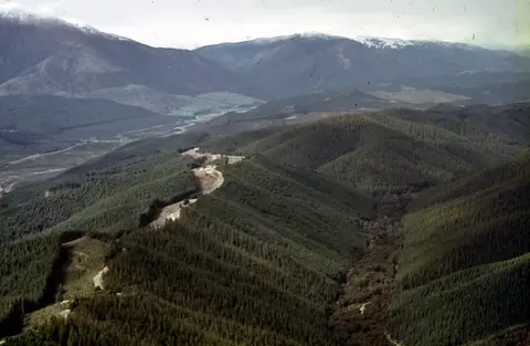
Understand the key considerations for land owners when considering entering the ETS.
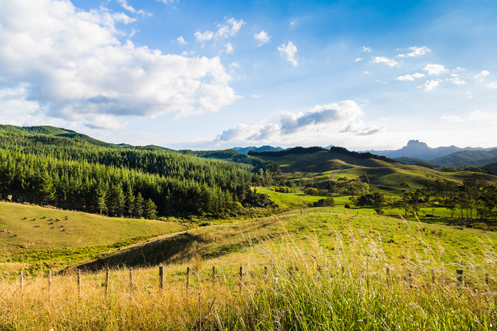
Find out more about tree farming for carbon credits.
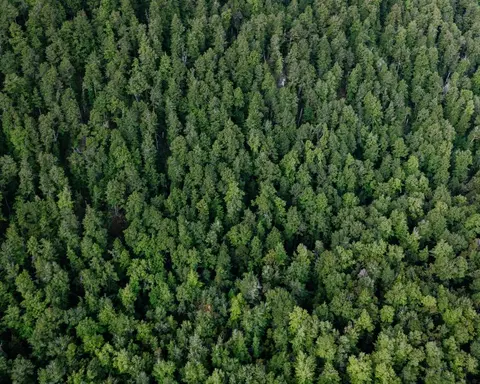
Calculate carbon storage in native forests and find planting needs to offset your footprint.
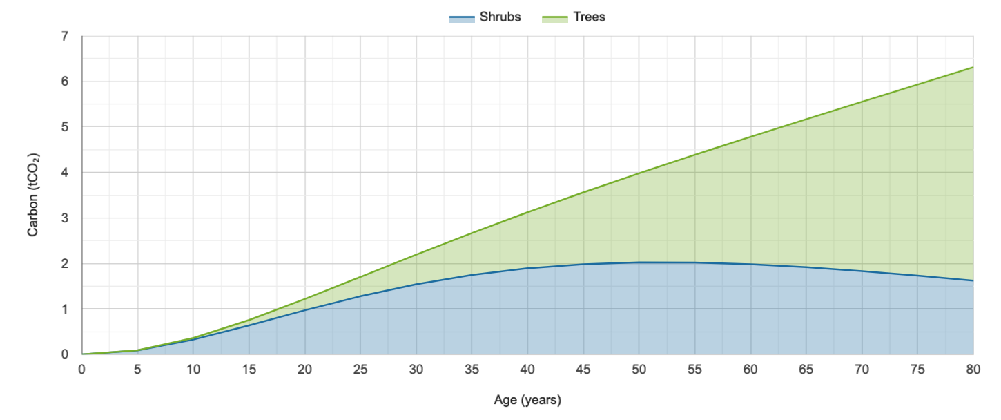
Look up expected carbon stock by forest age for small forests in the ETS.
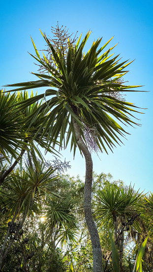
Learn how farms can use trees for carbon credits to boost income while enhancing te Taiao.

Find out about carbon sequestration rates in native forests and planting methods in New Zealand.
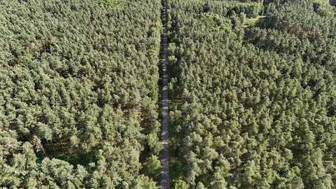
How the Emissions Trading Scheme works and who is in it.
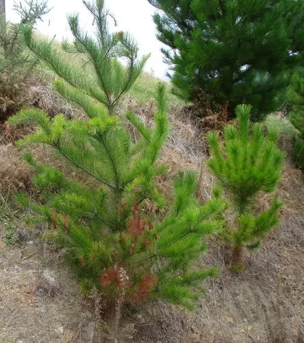
The clash between carbon credits and controlling wilding conifers.
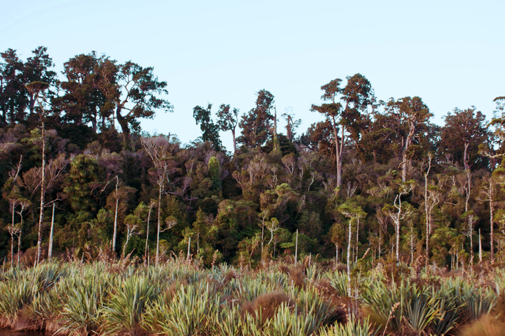
Estimate the growth and yield of planted native forests in Aotearoa using species-specific models.
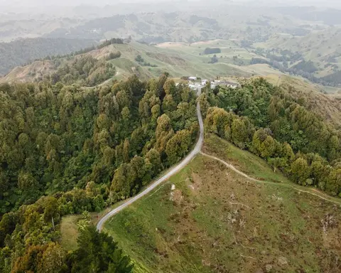
The standard tables that set a smaller forest's carbon earnings.
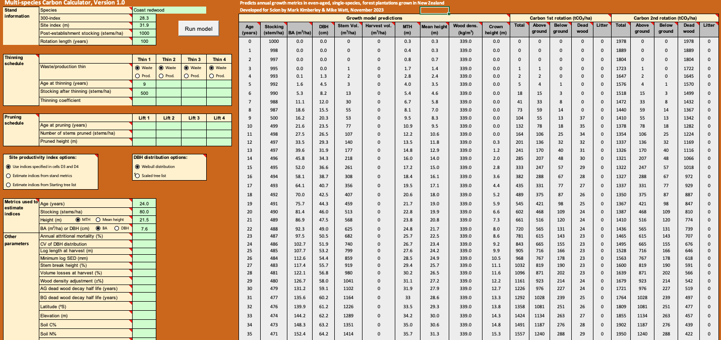
Calculate forest growth and carbon for New Zealand tree species using data about your whenua.
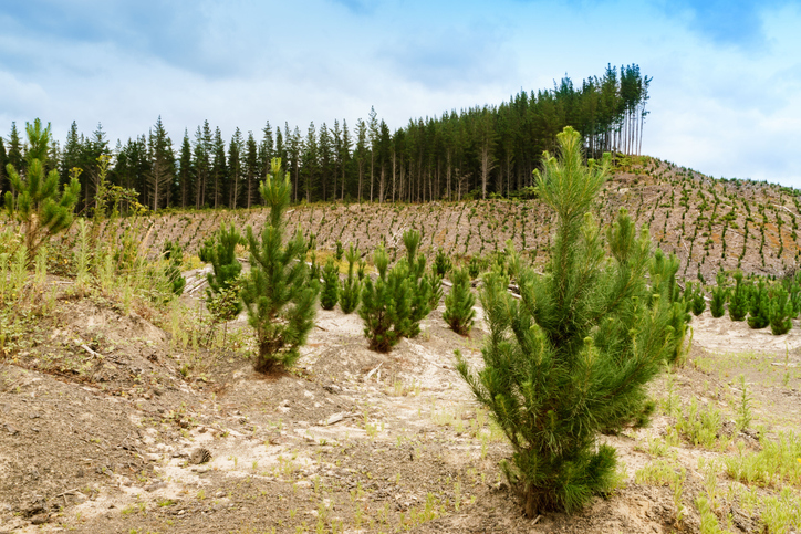
This resource challenges myths about planted forests, especially radiata pine, in New Zealand.
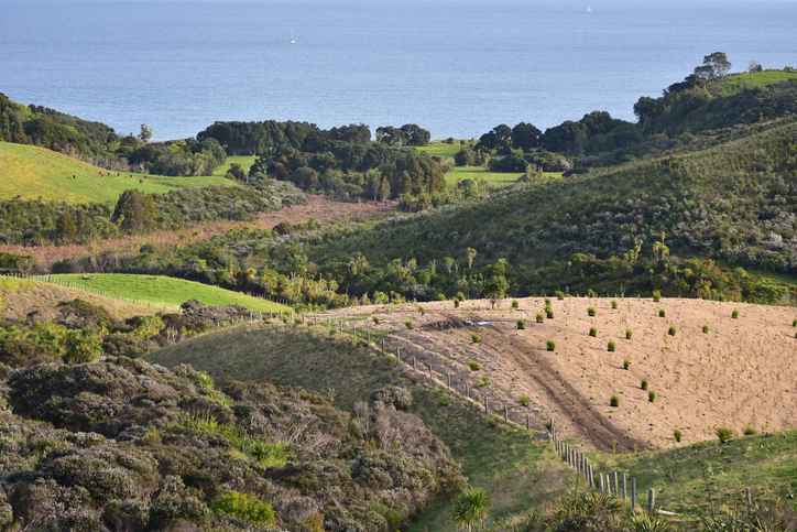
Find out how to convert marginal or depleted agricultural land into native forests for carbon farming.

This paper explores challenges and opportunities for Māori landowners in native forestry.
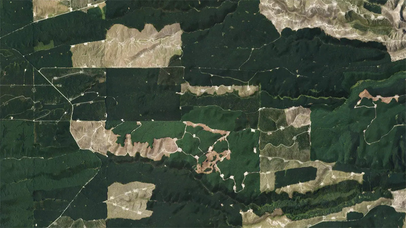
This add-in for Google Earth can help you monitor and analyse forest changes using satellite imagery and public datasets.
Plain definitions of the ETS and carbon forestry terms.

How the ETS and carbon forestry apply to whenua Māori.
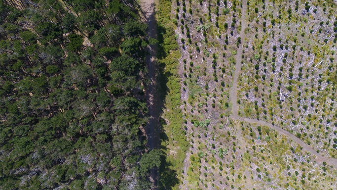
Track ETS unit movements, allocations, and surrenders since 2008.
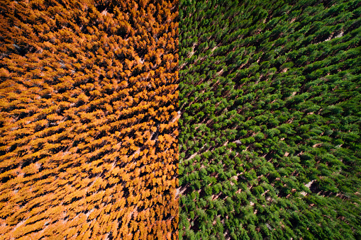
View monthly trends in New Zealand's Emissions Trading Scheme (ETS) transactions.