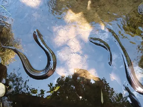
Moutere Catchment Group
Whenua
Collaboration
Conservation
Water
See how a Moutere community is planting and fencing to protect its waterways.
See how a Moutere community is planting and fencing to protect its waterways.
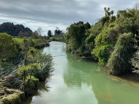
See how land owners and the local community worked together to restore the Motupipi River.
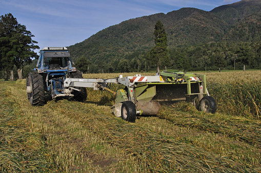
E2M is a decision-support tool that links farm finances and environmental impacts in one framework.
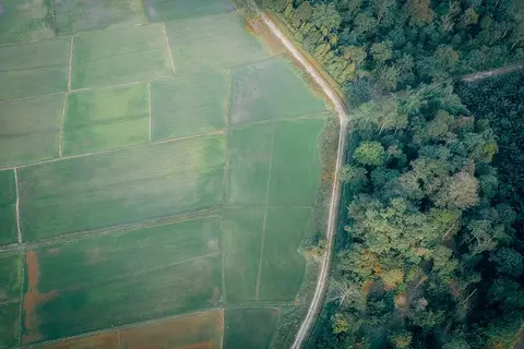
Learn to map your farm with easy webinars on using Google My Maps for project planning.
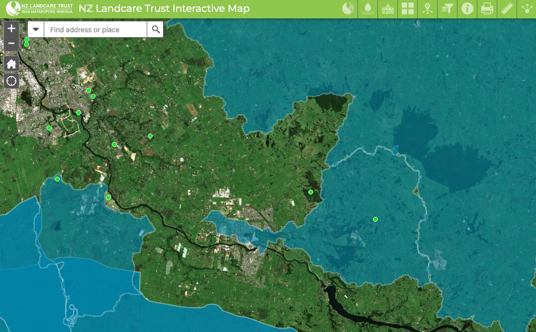
Find catchment and environmental groups and water quality data with this interactive map.