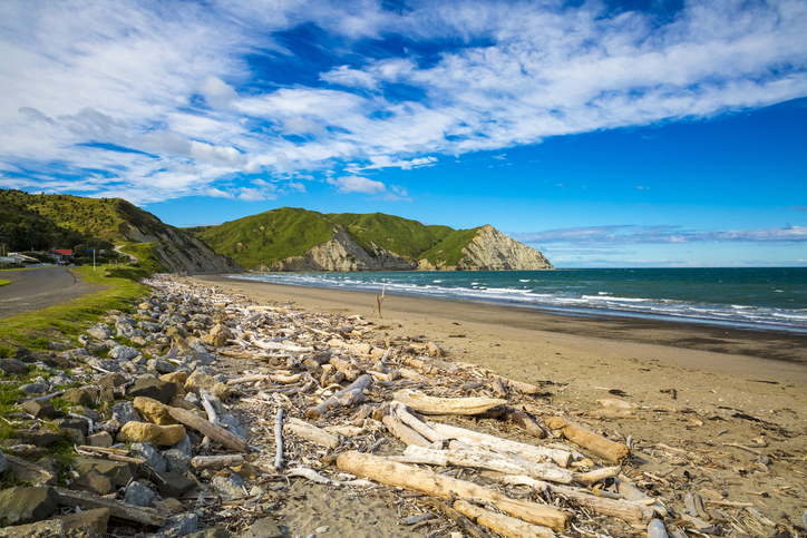
Whangawehi Catchment Management Group
Whenua
Biodiversity
Collaboration
Community
Conservation
Water
A local group improving water quality and environment in the Whangawehi catchment area.
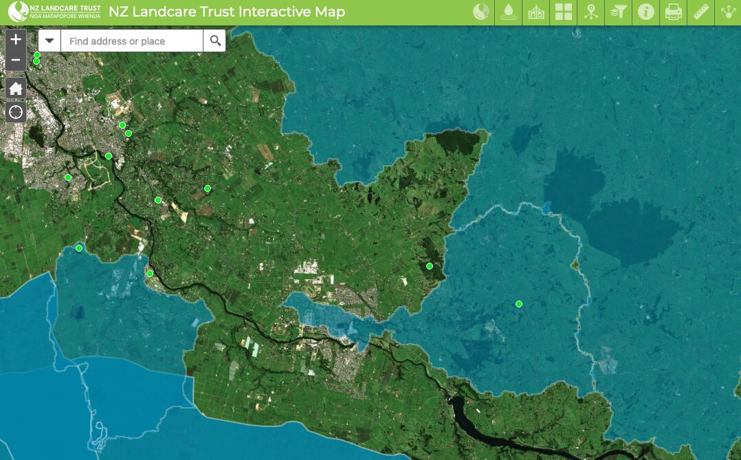
This map shows catchment groups, environmental community groups, and water quality monitoring sites. It helps you find local groups in your area and see what water quality checks have been done.
The information is updated by regional coordinators, and you can also add details to improve the map. As a community-led project, it reflects changes in catchment group work.
A local group improving water quality and environment in the Whangawehi catchment area.

Explore how land use affects soil and water quality across New Zealand catchments.
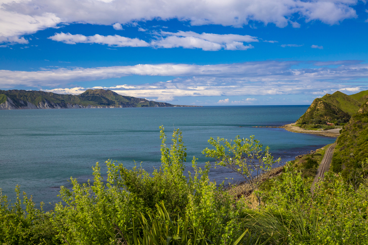
Learn how local groups improved the Whangawehi catchment and river health.
Thriving Southland supports local catchment groups to create a prosperous Southland.

Using radiometrics and local knowledge to map how Southland's landscape affects water quality.
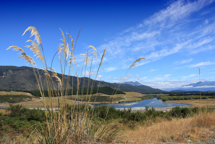
Factsheets about river catchments in Murihiku | Southland.
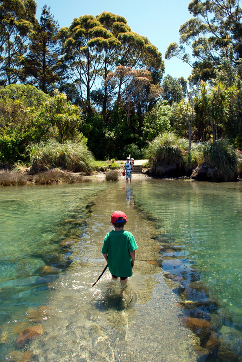
See how land-use and farm practice changes on your land can impact water quality across the catchment.
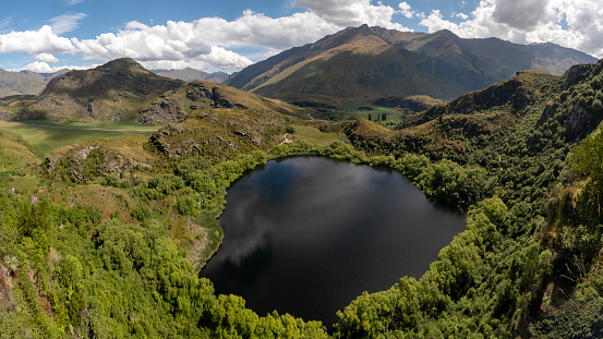
Explore how land use changes affect water quality and nitrogen, phosphorus loads.
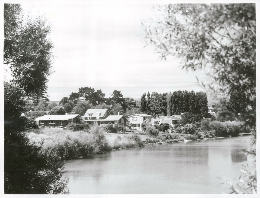
A project to restore the Waimatā River, focusing on ecology and community involvement.
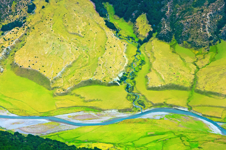
Learn how to start a catchment action group in your rohe.
Find data on how climate change affects water in Aotearoa’s rivers and groundwater.
Learn how to start a Catchment Community Group with tips from other farmers.
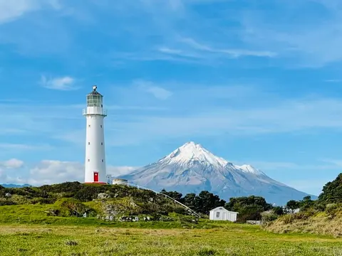
Check live rainfall, river level and water quality readings across Taranaki.
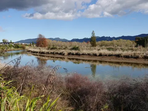
See real examples of waterway restoration actions underway in your rohe.
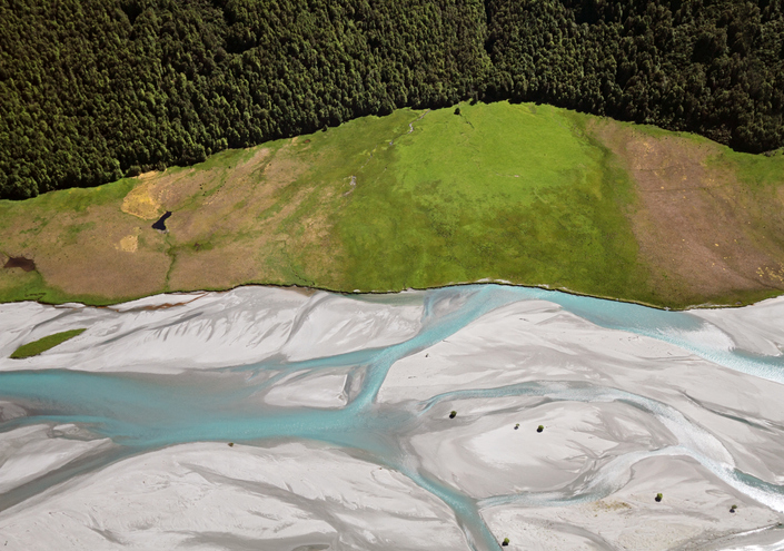
EnviroSatTools is a collection of Google Maps add-ins to help analysts map land and water using satellite imagery and public datasets.
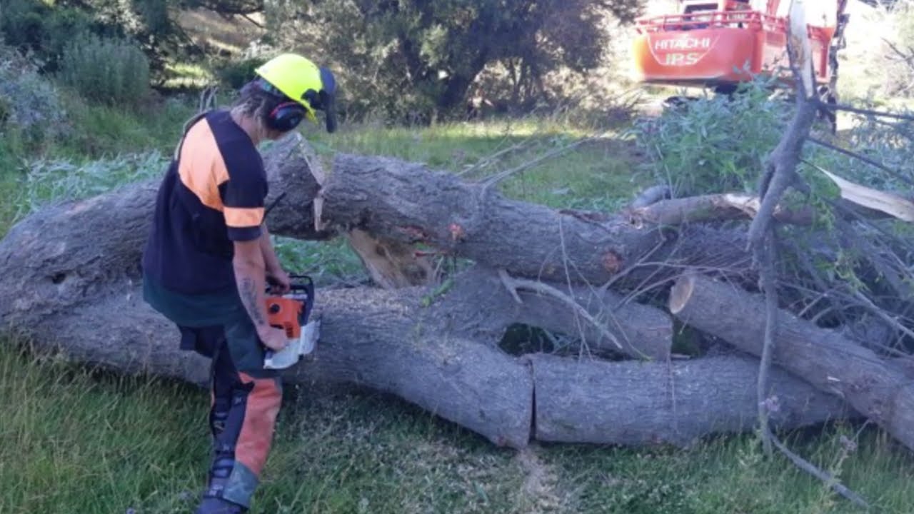
See how over 40 farms have worked together to improve the Wainuioru catchment.
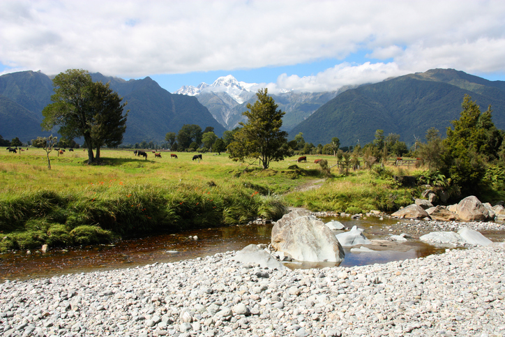
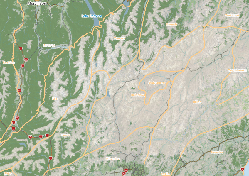
This map shows different areas of Aotearoa that have similar physical and biological characteristics.
This add-in for Google Earth can help you analyse coastal changes using satellite imagery and public datasets.
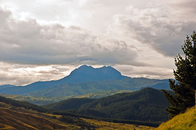
A long-term programme to restore the Waiapu River catchment.
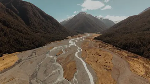
See where river management and flood protection projects are under way.
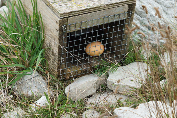
An interactive map of predator control efforts across the motu.
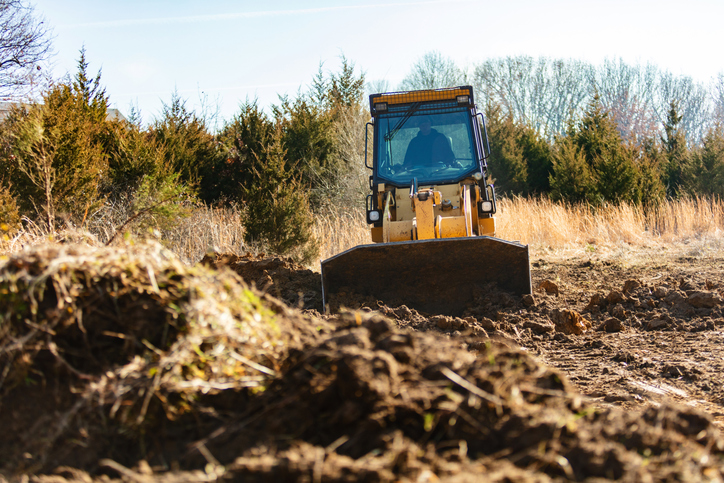
This resource details how to manage the impacts of earthworks on land and water quality, focusing on regulations and best practices.