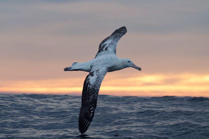
Te Tai Uka a Pia: Iwi relationships with the Southern and Antarctic Oceans
Climate
Adaptation
Community
Mātauranga
Resilience
Sustainability
Pūrakau about Te Moana Tāpokopoko a Tāwhaki, the Southern Ocean
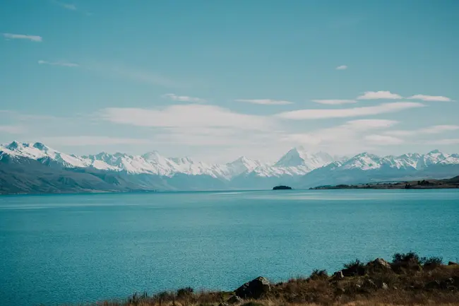
Kā Huru Manu is a mapping project and interactive atlas of more than 1,000 traditional Māori place names in Te Waipounamu. It shares the histories associated with these places and maps traditional travel routes across the Ngāi Tahu rohe.
Pūrakau about Te Moana Tāpokopoko a Tāwhaki, the Southern Ocean
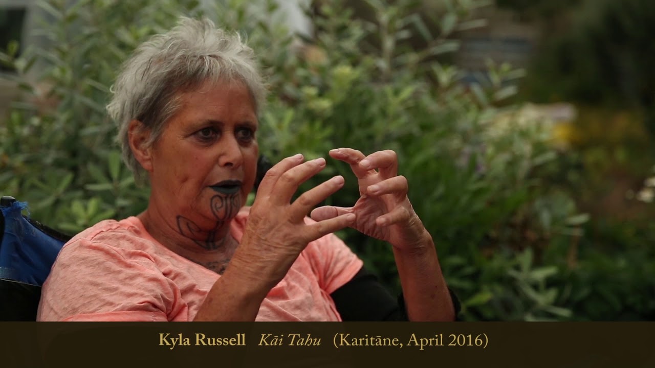
Kāi Tahu kaitiaki share insights about how they observe and interpret changes in the environment..

Te Wai Pounamu kaitiaki share their mātauranga about weather indicators.
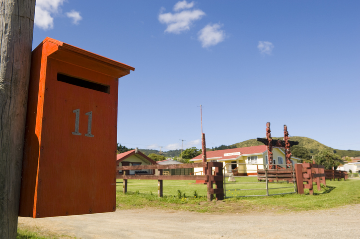
Search for iwi, hapū, and marae info by region or local authority.
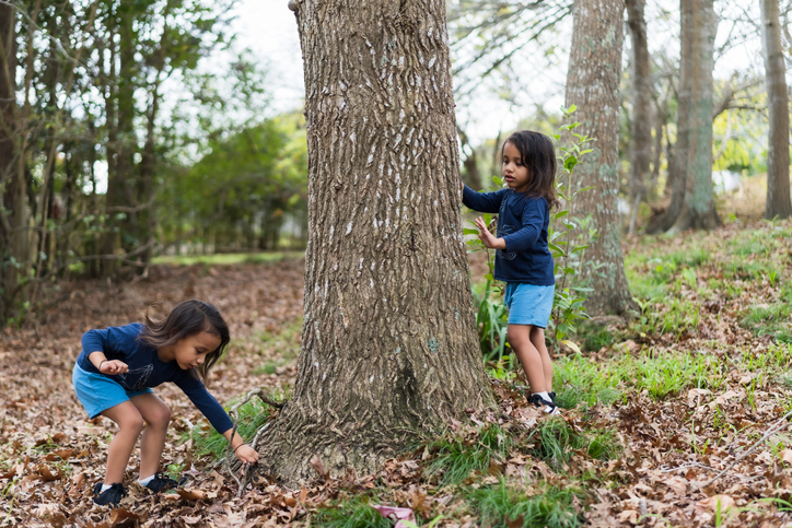
This case study explores what kaitakitanga means for Ngai Tahu and how it helps them to create sustainable food and products.

This resource explores the Maramataka, its origins, its cultural significance, and its relationship with Māori agriculture.

Learn about Ngāi Tahu ki Murihiku's plan for managing environmental issues and climate change.
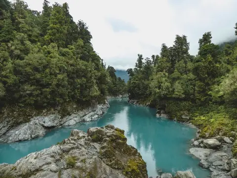
View historic indigenous forest cover in Te Wai Pounamu based on a range of different data and imagery.
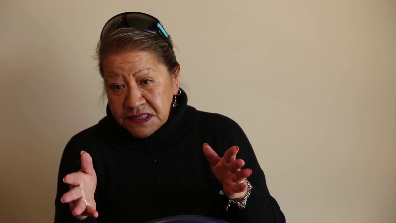
Te Wai Pounamu kaitiaki share their mātauranga about climate indicators.
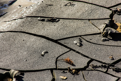
Understand how climate change could impact Māori culture and identity.
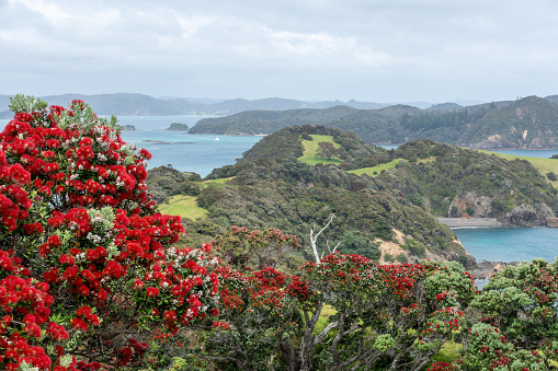
Explore projected temperature and rainfall changes for Aotearoa online.
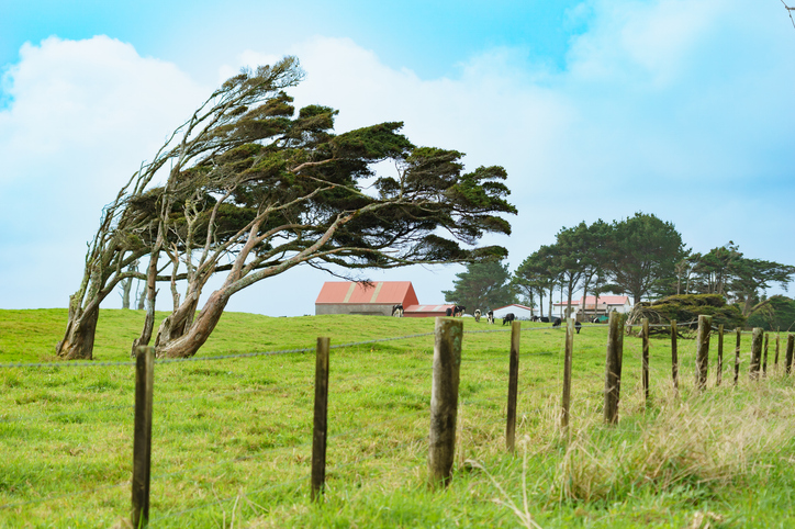
This resource explores Māori weather knowledge and the risks of climate change.

These posters show different Māori weather signs across Te Wai Pounamu.
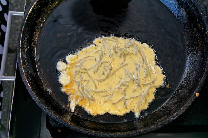
Explore traditional cuisine's role in climate resilience and cultural health in Waikato.
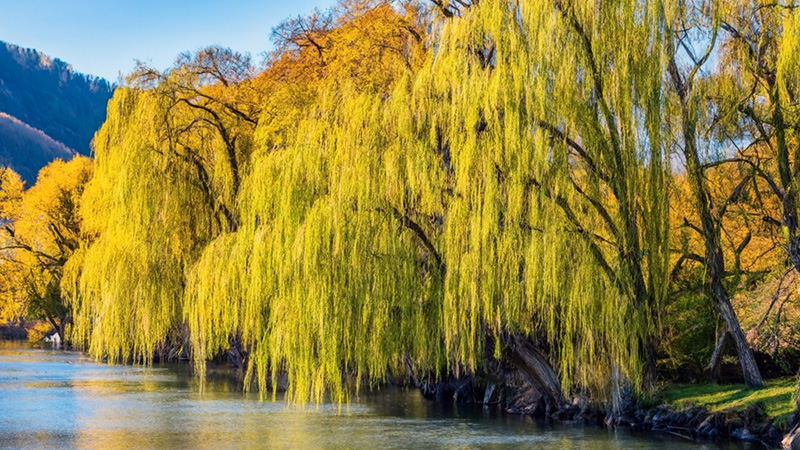
An interactive key to identify different Aotearoa willow species.
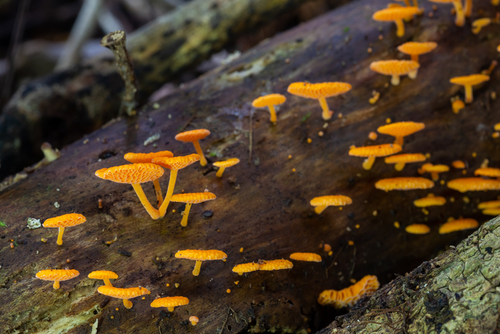
Biota of New Zealand is a comprehensive catalogue of scientific data about fungi, land invertebrates, and plants.
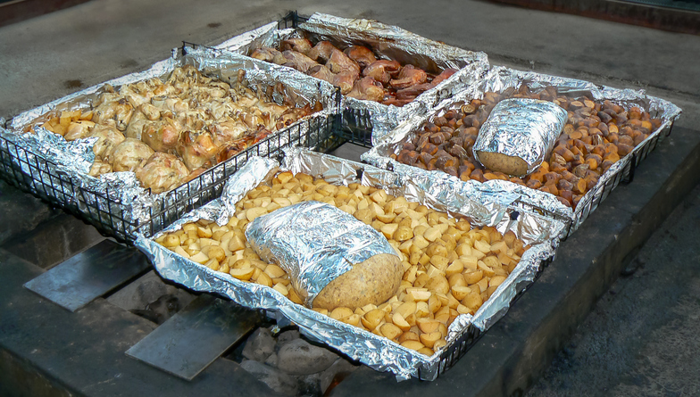
This project explores Māori food traditions and how climate change impacts cultural health.
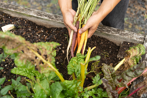
Kaitiakitanga, kiwifruit, and what a Māori food story actually means.
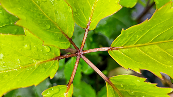
Discover traditional Māori uses of native plants, fungi and seaweed.
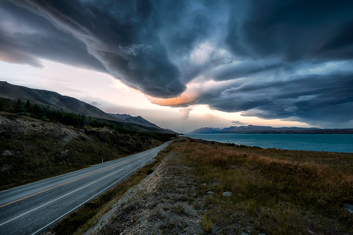
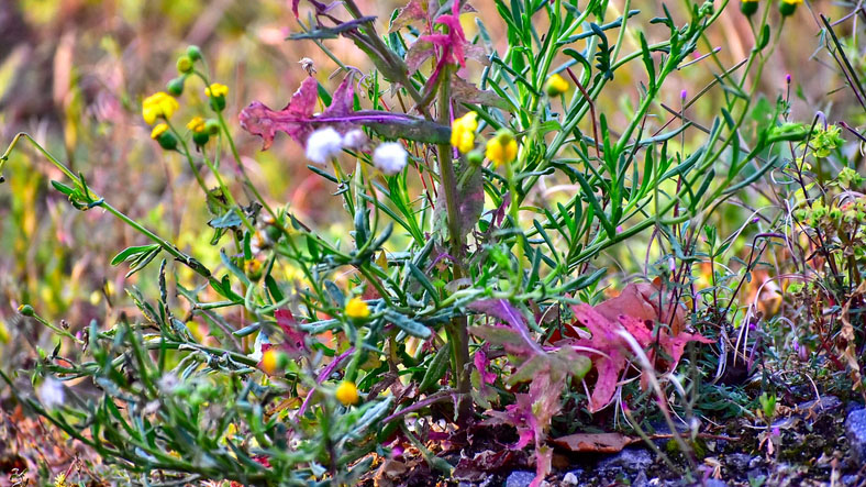
An interactive key to identify different weeds that can be found in Aotearoa.
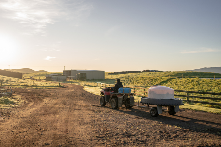
Blending mātauranga Māori and science to support whenua-based enterprises.
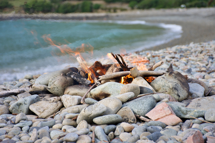
Māori traditions of using fire are explored for guiding modern fire management in New Zealand.