Historic North Island indigenous forest cover (1948-1955)
Whenua
Biodiversity
Conservation
Forestry
View historic indigenous forest cover in Te Ika a Māui based on a range of different data and imagery.
The New Zealand Forest Service Mapping Series shows the distribution of indigenous forest cover in the North Island at various times in the 20th century. This can help you understand how forest areas have changed over time.
The maps were created using aerial photographs taken between 1948 and 1955 and include detailed ground surveys and . While the data is older, it provides a valuable baseline for studying forest changes. You can see different types of forests, like kauri and rimu, helping you know what kinds of vegetation used to exist on your whenua.
View historic indigenous forest cover in Te Ika a Māui based on a range of different data and imagery.
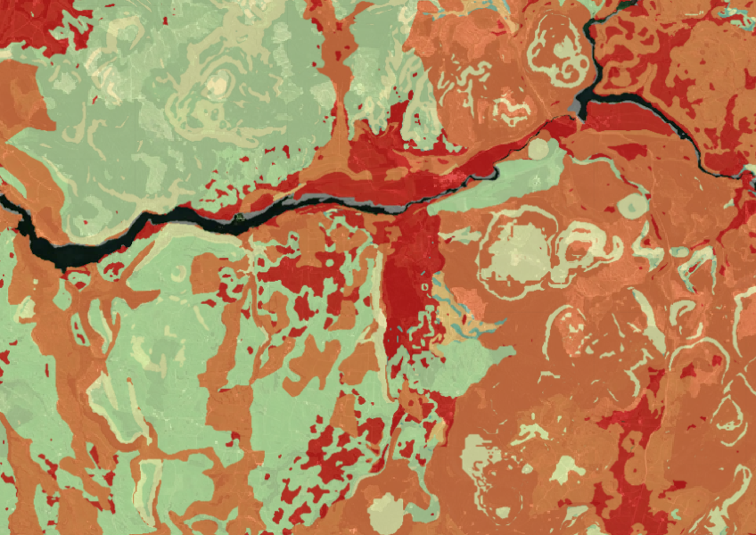
Map showing our remaining indigenous vegetation and its protection status..
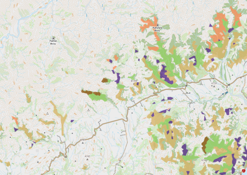
View indigenous forest cover in North Island, based on older aerial data from 1948-1955. North and South Island data has been combined into a national layer.
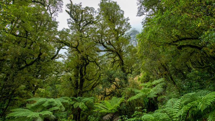
A comprehensive database archive of historical research about indigenous forests in Aotearoa.

See land cover in Aotearoa and how it has changed over time.
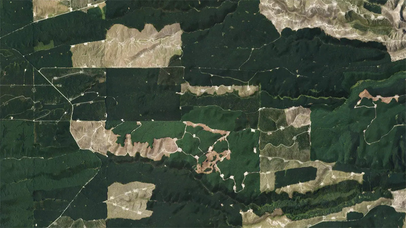
This add-in for Google Earth can help you monitor and analyse forest changes using satellite imagery and public datasets.
New Zealand's vegetation survey data spans over 70 years and includes 121,000 plot records.

These posters show different Māori weather signs across Te Wai Pounamu.
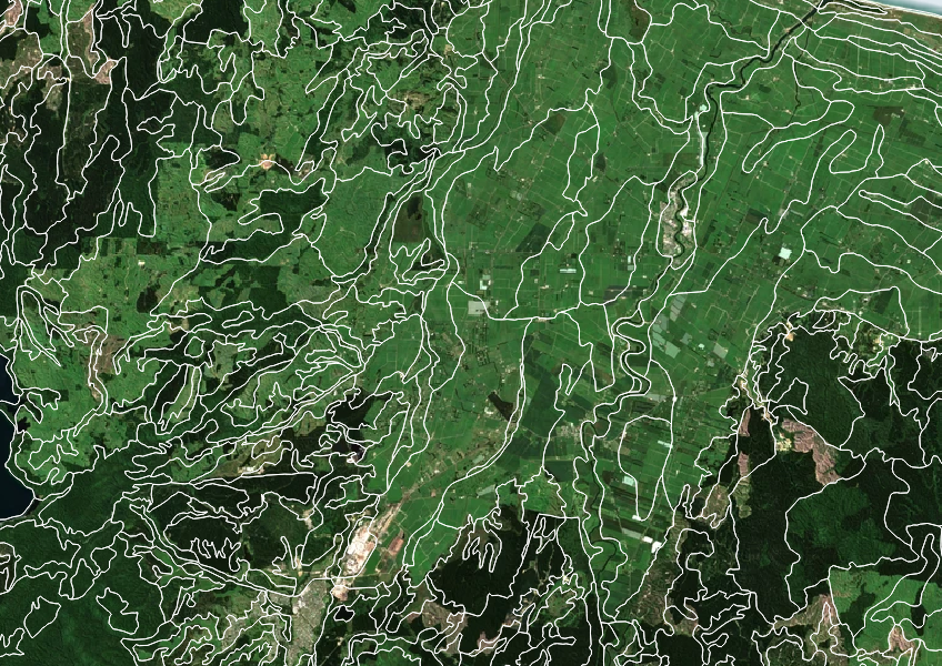
Get high-level soil classification data for Te Wai Pounamu to help with land use decisions.

Te Wai Pounamu kaitiaki share their mātauranga about weather indicators.
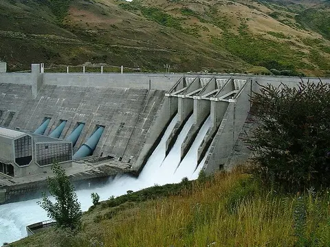
Learn how South Island industry can switch process heat from coal to biomass and electricity.
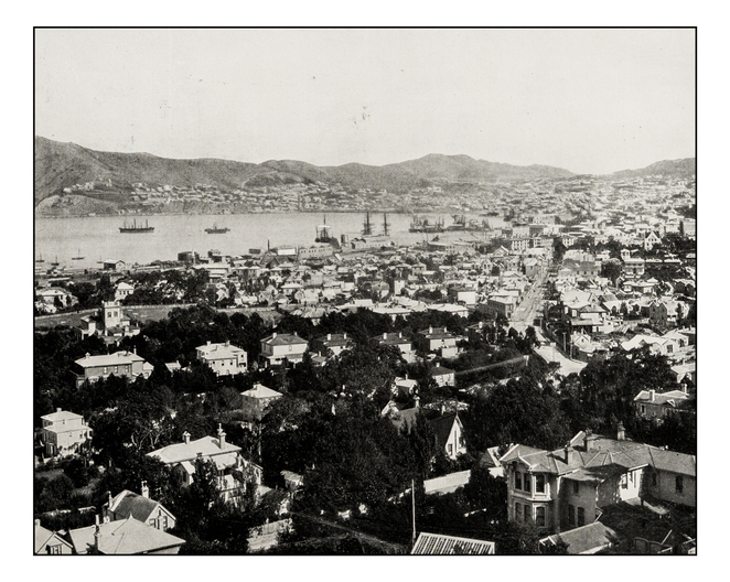
Retrolens is a fully searchable archive of aerial photos of Aotearoa from as far back as 1936.

LUCAS is a national dataset that tracks carbon sequestration and land use change over time.
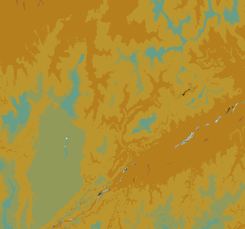
Check the historic average annual temperature for your whenua.
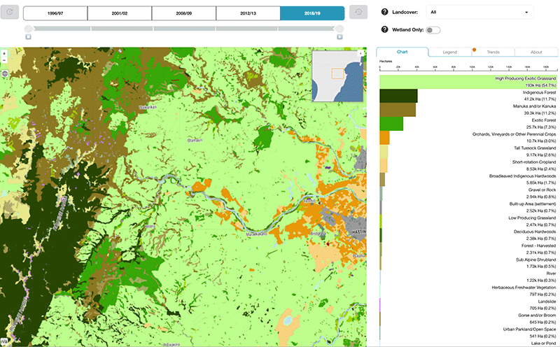
Explore how land cover has changed in Aotearoa over the past 25 years.
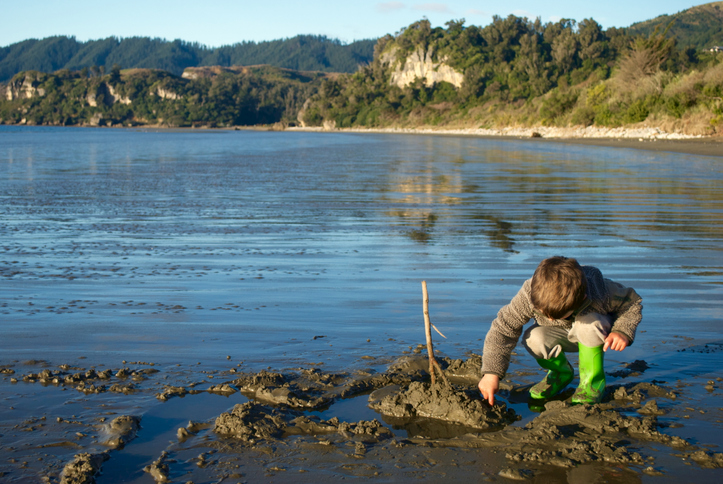
Read about potential ways to transition exotic coastal buffers to native forests.
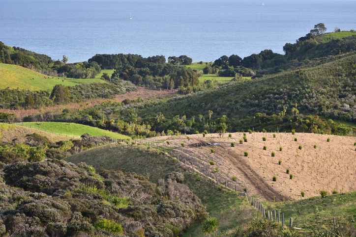
Find out how to convert marginal or depleted agricultural land into native forests for carbon farming.
Short videos about the benefits of native forests in an Aotearoa context.
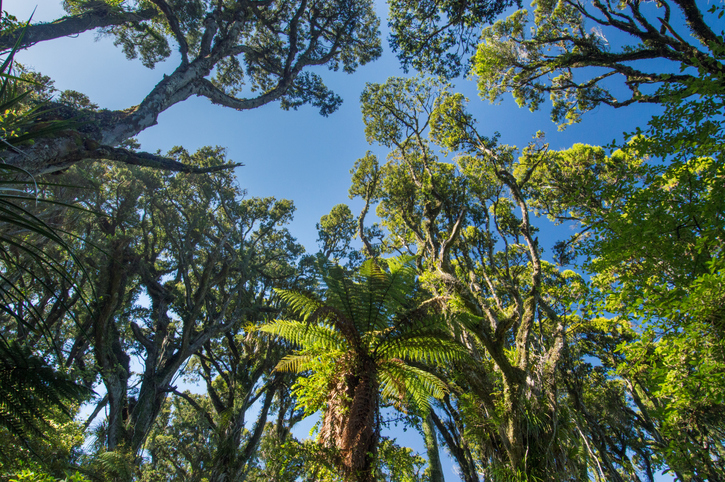
Explore New Zealand's forests, their history, importance, and management efforts.
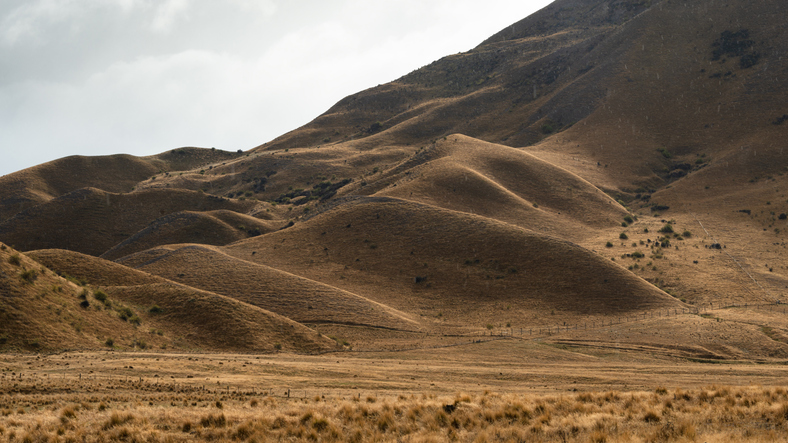
Learn about different strategies farmers in Otago and Canterbury have used to prepare for and adapt to droughts.
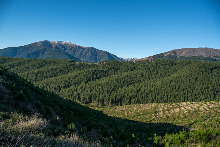
Get guidance on mapping your forest areas to assess eligibility for the Emissions Trading Scheme.

This widely used map estimates the land's potential for agricultural production.
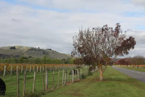
Get high-level soil classification data for Te Ika a Māui to help with land use decisions.