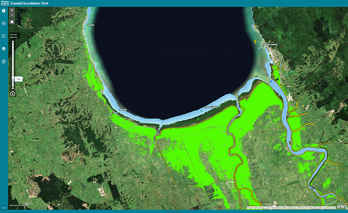
Waikato Coastal Inundation Tool
Climate
Adaptation
Flooding
Planning
Resilience
Risk
Understand coastal flooding risks in the Waikato region.
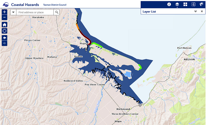
The Tasman coastal hazards map viewer shows coastal areas in Tasman Bay and Golden Bay that may be affected by sea level rise and storm tides. It includes data on coastal erosion, sediment gain, and protection structures.
Understand coastal flooding risks in the Waikato region.
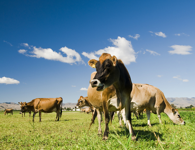
This research assesses dairy farming risks from coastal flooding and sea level rise in Aotearoa.
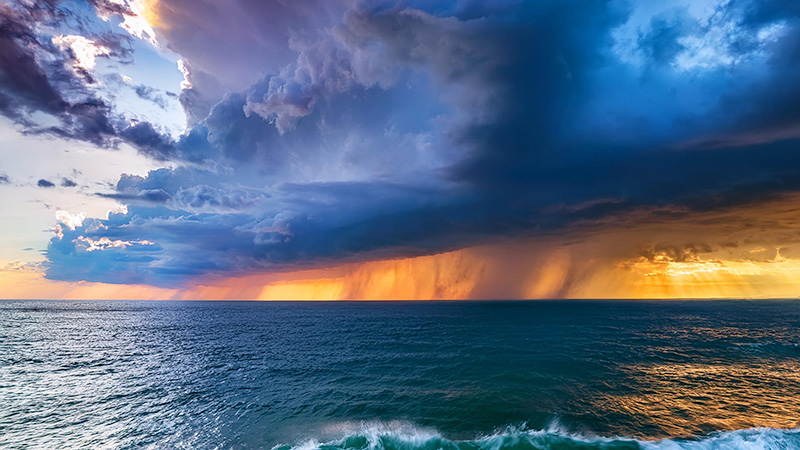
Find out how sea level rise and extreme weather events like cyclones will worsen flooding in Aotearoa.

Explore sea-level rise projections for New Zealand’s coasts, with local impacts and maps available.
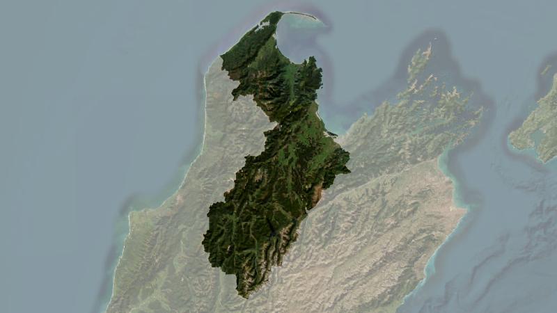
Understand climate event and variability trends for Tasman District.
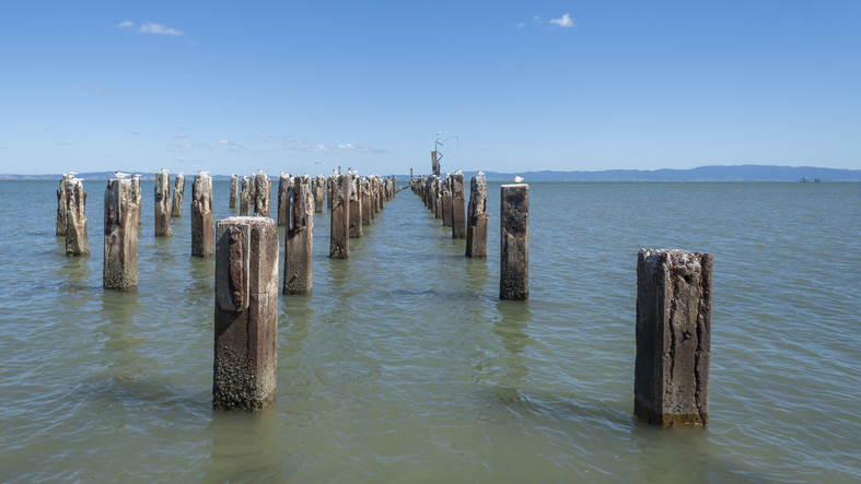
Explore Thames' unique history and the environmental challenges it faces due to sea level rise.

Explore coastal flood maps to assess the potential impacts of sea-level rise in your rohe.
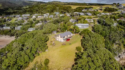
Check how coastal flooding, erosion and river flooding could affect your own property.
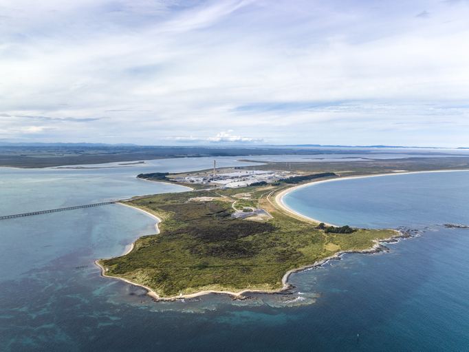
Explore Tiwai Point's unique history and the environmental challenges it faces due to sea level rise.
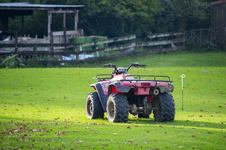
Free online learning modules to help you recognise and manage risks on the farm.
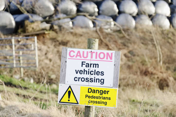
This guide includes legal rules and practical tips to help you manage health and safety on your farm.
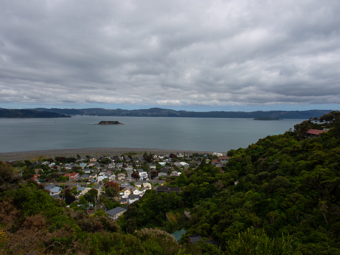
Explore Eastbourne's coastal changes, history, and sea level rise impacts.
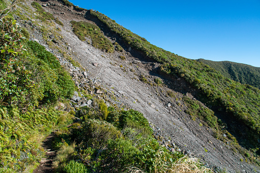
Find links to the main models used to estimate erosion and sediment in Aotearoa.
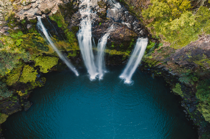
This report analyzes climate risks in Northland, focusing on impacts, perspectives, and management strategies.
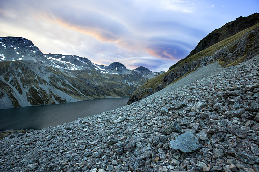
Find out how climate change could shift sediment loads in your local rivers.
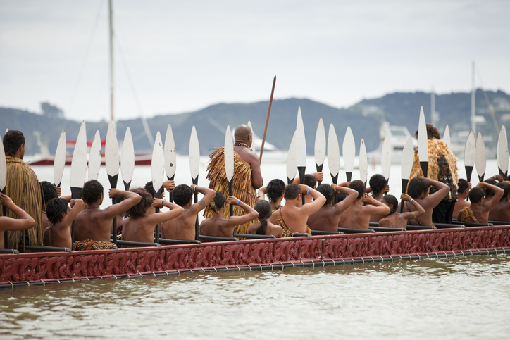
This resource focuses on community engagement for adapting to climate change in New Zealand.
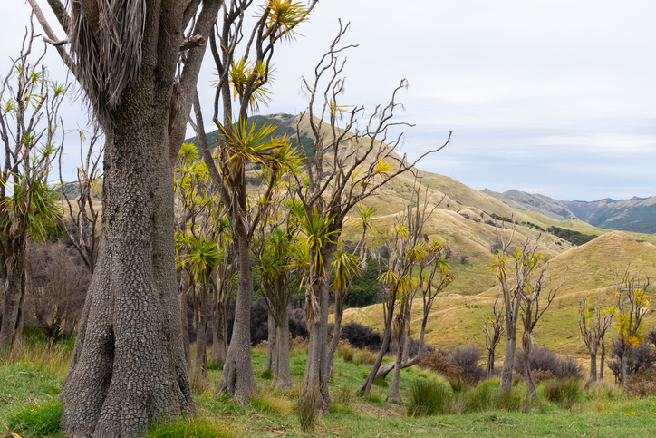
Guidelines and resources for managing erosion and sediment in forestry in New Zealand.
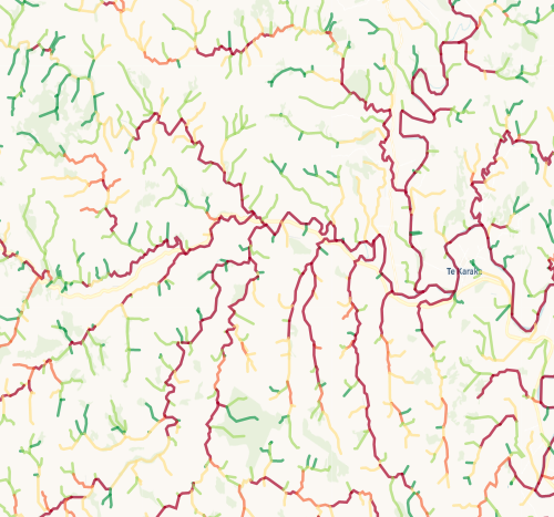
Check which streams on your whenua are most vulnerable to bank erosion.
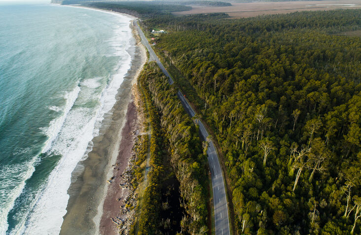
Access user-friendly maps and aerial photos for property and planning on the West Coast.
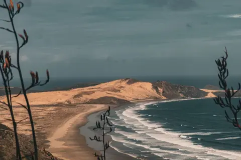
Learn how sea level rise, coastal erosion and river flooding are changing Northland.
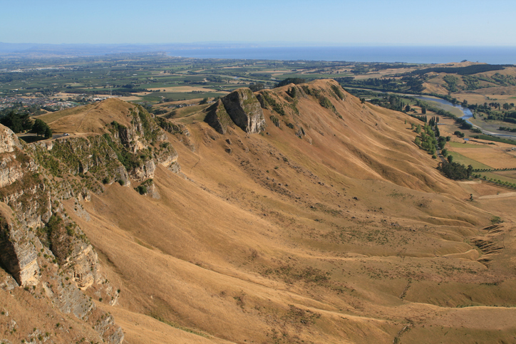
Hawke's Bay faces erosion issues. Planting trees can help prevent soil loss and improve water quality.
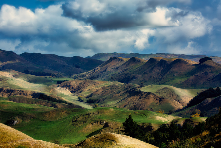
Learn how to manage gully erosion using debris dams.
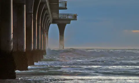
Research on adaptive tools for water infrastructure facing compounding coastal hazards.