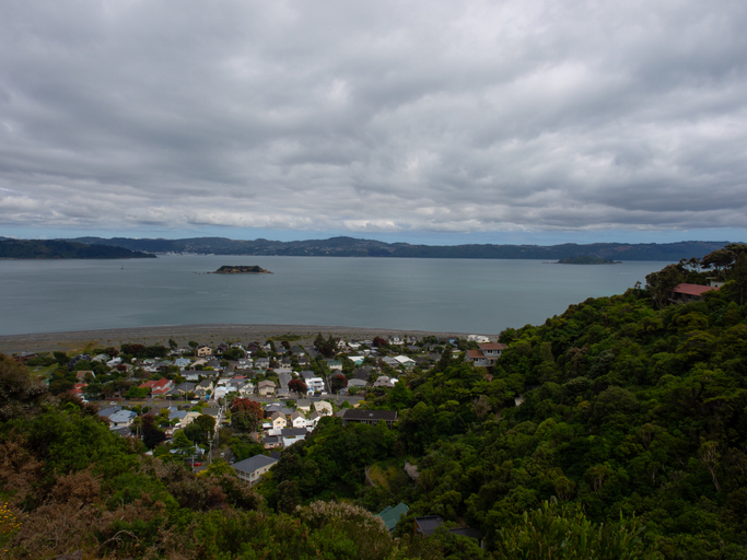
NZ Sea Rise - Eastbourne
Climate
Adaptation
Community
Conservation
Flooding
Governance
Planning
Resilience
Sustainability
Explore Eastbourne's coastal changes, history, and sea level rise impacts.

The NZ SeaRise programme provides important information about sea-level rise and land movement along New Zealand's coast. This online tool lets you see how much sea level is expected to rise at your specific location by the year 2300. It combines data on climate change and local land movements to give accurate projections.
Knowing how sea levels will change can help you plan for flooding, erosion, and other impacts on their land.
Explore Eastbourne's coastal changes, history, and sea level rise impacts.
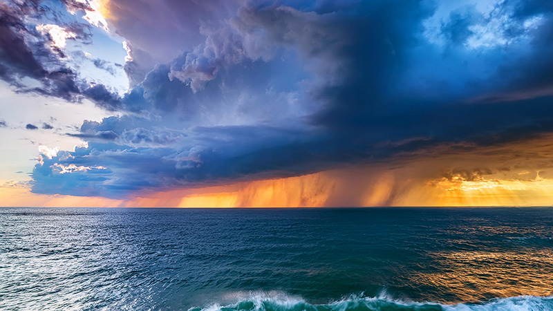
Find out how sea level rise and extreme weather events like cyclones will worsen flooding in Aotearoa.
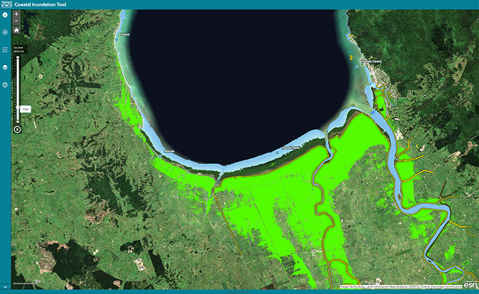
Understand coastal flooding risks in the Waikato region.

Explore coastal flood maps to assess the potential impacts of sea-level rise in your rohe.

This resource focuses on community engagement for adapting to climate change in New Zealand.
See what might be coming for the Bay of Plenty region, including rising seas and flooding.
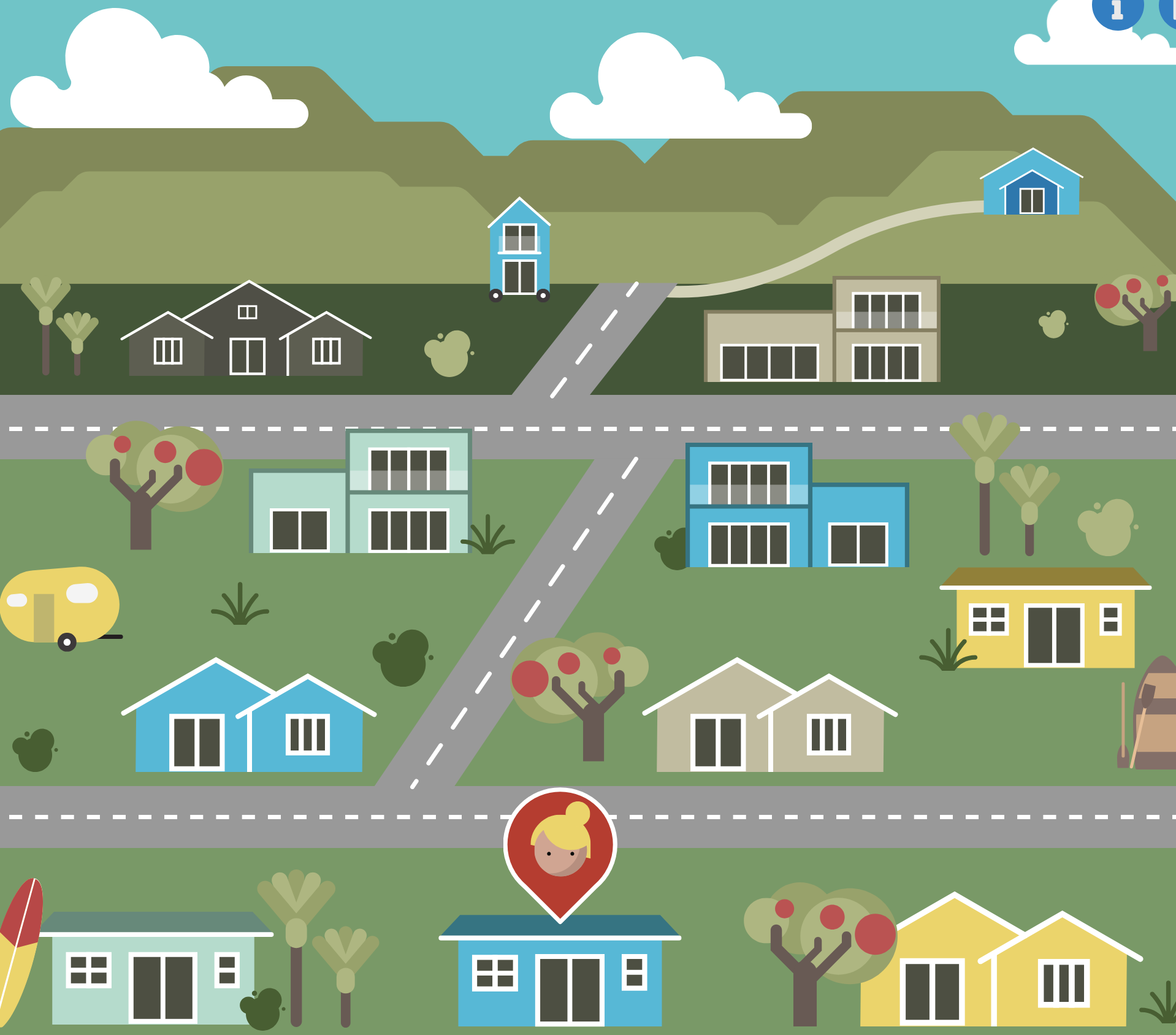
An online game about adapting your coastal property as sea levels rise.
See different climate change scenarios for New Zealand and their potential impacts.

Explore sea-level rise projections for your coastline out to 2300.
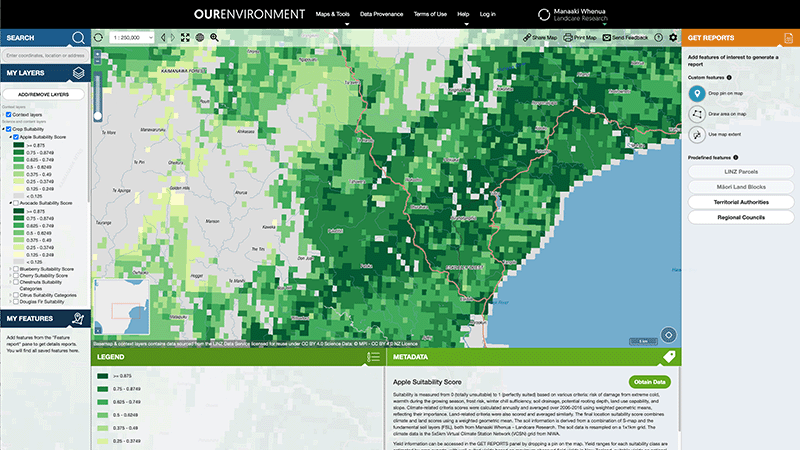
Explore New Zealand’s environment with interactive maps and data on various themes.
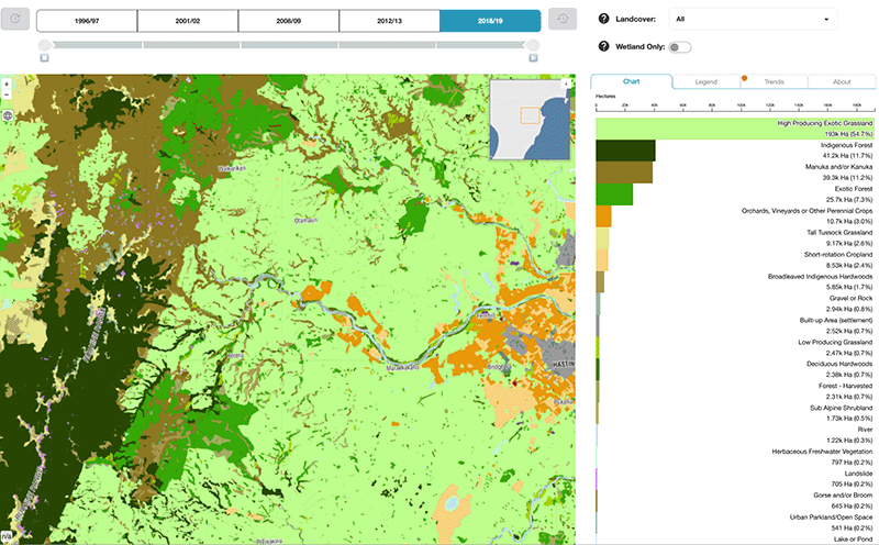
Explore how land cover has changed in Aotearoa over the past 25 years.
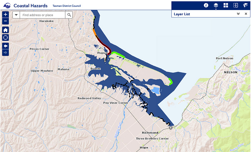
View sea-level rise and coastal erosion risks in Tasman Bay and Golden Bay.
Auckland faces climate change risks including rising temperatures, sea levels, and extreme weather.
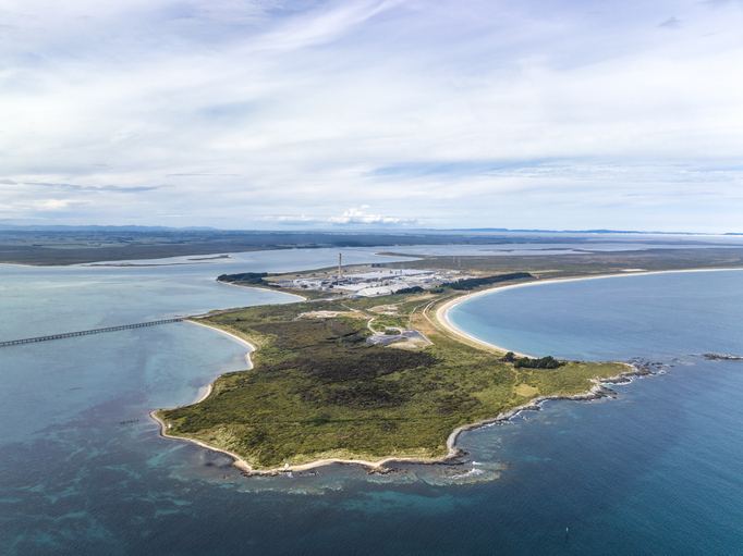
Explore Tiwai Point's unique history and the environmental challenges it faces due to sea level rise.

View rainfall data for Northland, showing monthly averages and percentages from gauges.
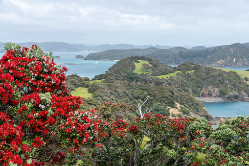
Explore projected temperature and rainfall changes for Aotearoa online.
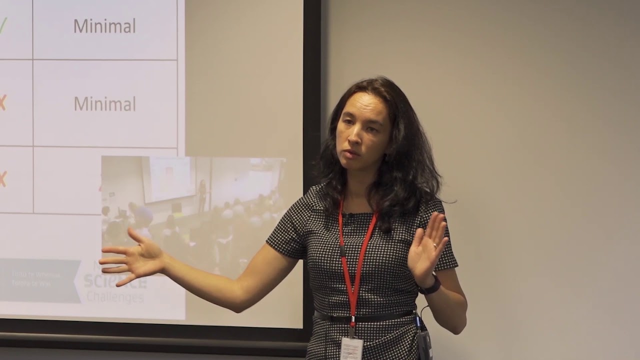
Hear about how climate change could reshape agriculture and land use decisions in Aotearoa.
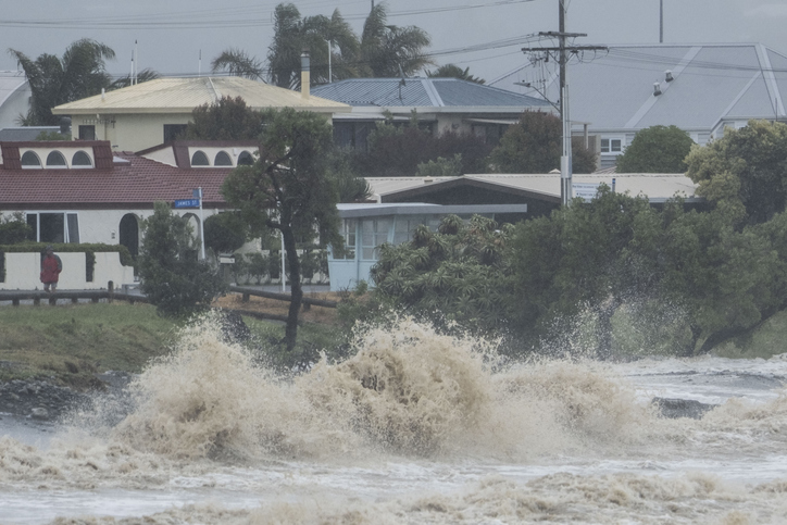
Explore interactive maps showing climate hazards for your hapori.
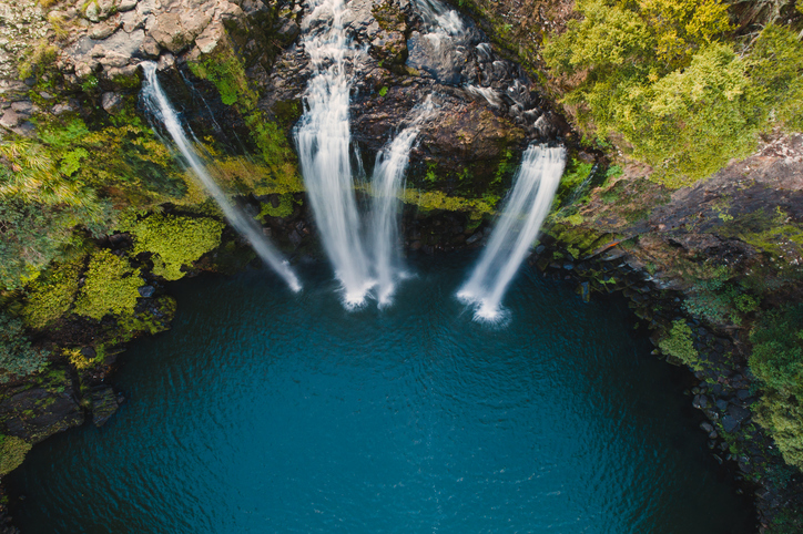
This report analyzes climate risks in Northland, focusing on impacts, perspectives, and management strategies.

This map shows erosion types and estimated severity across Aotearoa.
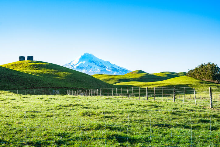
A report produced by NIWA, details climate change impacts and projections for Taranaki until 2100.
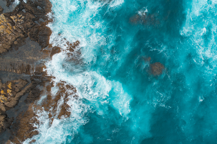
This add-in for Google Earth can help you analyse coastal changes using satellite imagery and public datasets.
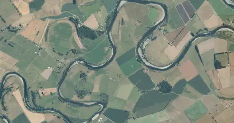
See flood risk maps for your region now and under future climate changes.