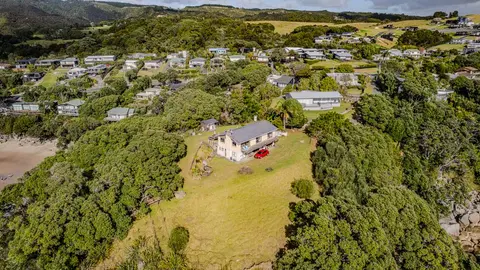
Northland Hazard Property Viewer
Climate
Erosion
Flooding
Risk
Check how coastal flooding, erosion and river flooding could affect your own property.
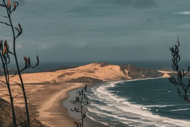
This StoryMap from Northland Regional Council explains the region's three main natural hazards: coastal flooding, coastal erosion and river flooding. It walks through what causes each hazard, how the council's hazard maps were built, and what the different hazard zones mean.
Māori voices are woven through the story, sharing mātauranga and lived experience of flooding, erosion and change on the whenua, alongside interactive maps for Dargaville, Kaitaia and other locations.
Check how coastal flooding, erosion and river flooding could affect your own property.

Explore coastal flood maps to assess the potential impacts of sea-level rise in your rohe.
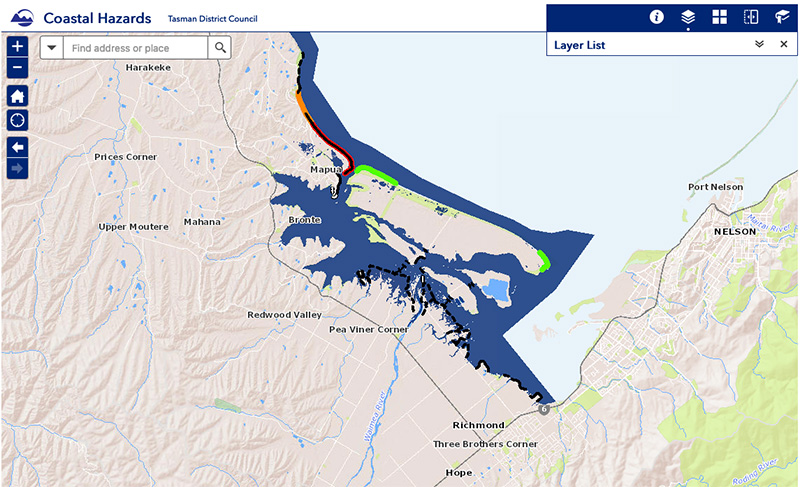
View sea-level rise and coastal erosion risks in Tasman Bay and Golden Bay.
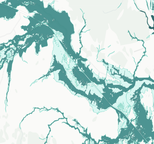
See river flood hazard zones near your Whangārei whenua
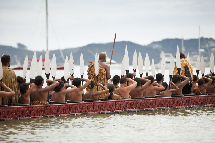
This resource focuses on community engagement for adapting to climate change in New Zealand.
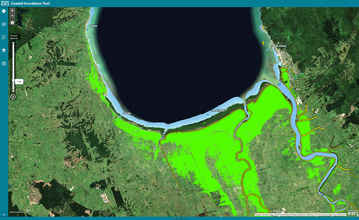
Understand coastal flooding risks in the Waikato region.
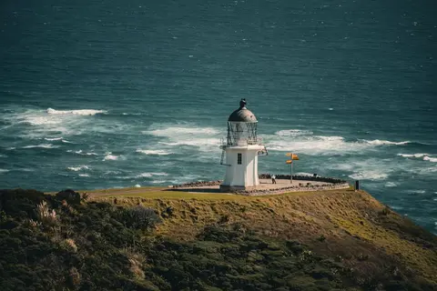
Read NIWA's full technical report on Northland's climate out to 2090.
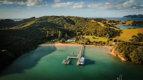
See a plain-English summary of NIWA's climate change projections for Northland.
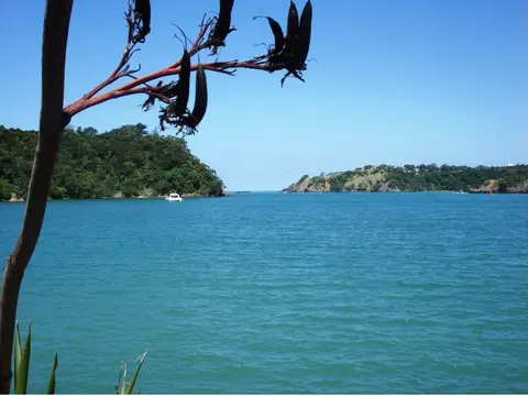
See how a Northland hapū iwi trust is leading its own climate adaptation planning.
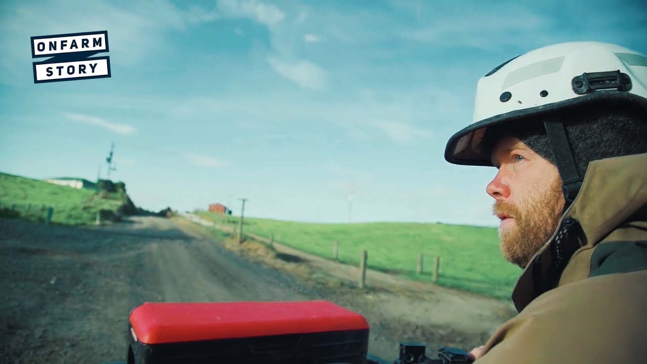
Learn how a young Northland dairy farming couple won Share Farmer of the Year.
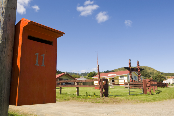
Search for iwi, hapū, and marae info by region or local authority.
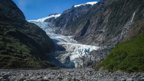
Learn how climate change works, through both science and te ao Māori.
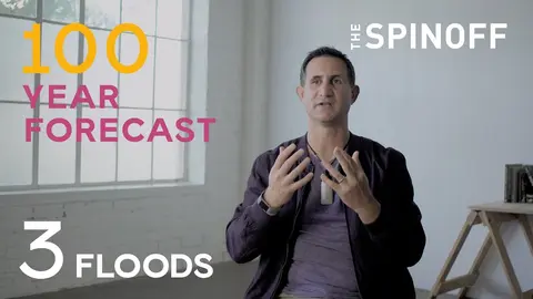
Learn what taniwha can teach us about floods, and how much worse they could get.
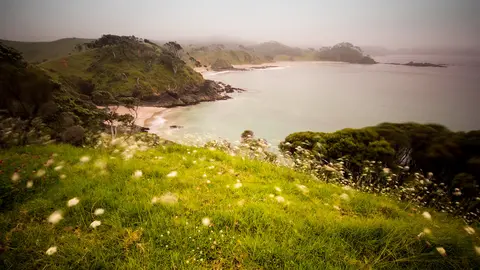
View rainfall data for Northland, showing monthly averages and percentages from gauges.
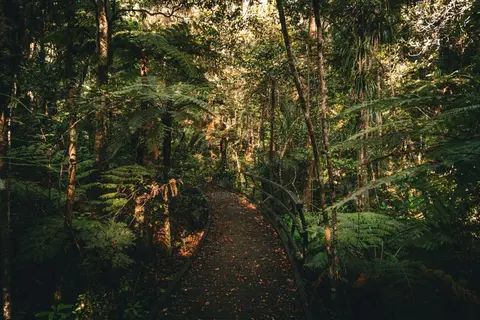
Explore how restoring bush, wetlands and waterways builds Northland's climate resilience.
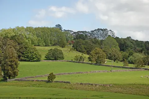
Get practical tree planting advice specific to Taitokerau.
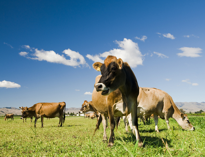
This research assesses dairy farming risks from coastal flooding and sea level rise in Aotearoa.

Explore sea-level rise projections for New Zealand’s coasts, with local impacts and maps available.
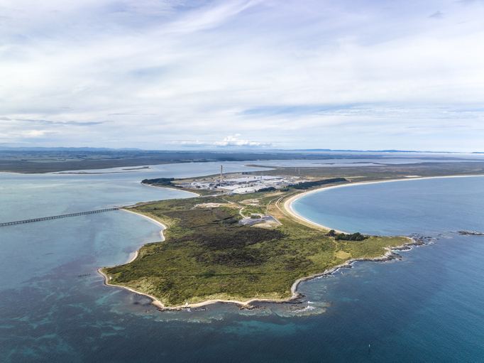
Explore Tiwai Point's unique history and the environmental challenges it faces due to sea level rise.
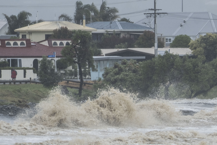
Explore interactive maps showing climate hazards for your hapori.
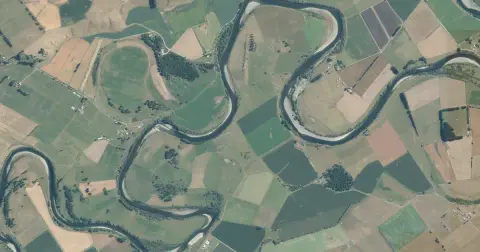
See flood risk maps for your region now and under future climate changes.
This report analyzes climate risks in Northland, focusing on impacts, perspectives, and management strategies.
Find out how sea level rise and extreme weather events like cyclones will worsen flooding in Aotearoa.