
Understanding the Land to Drive Change - Thriving Southland
Whenua
Collaboration
Community
Sustainability
Water
Using radiometrics and local knowledge to map how Southland's landscape affects water quality.
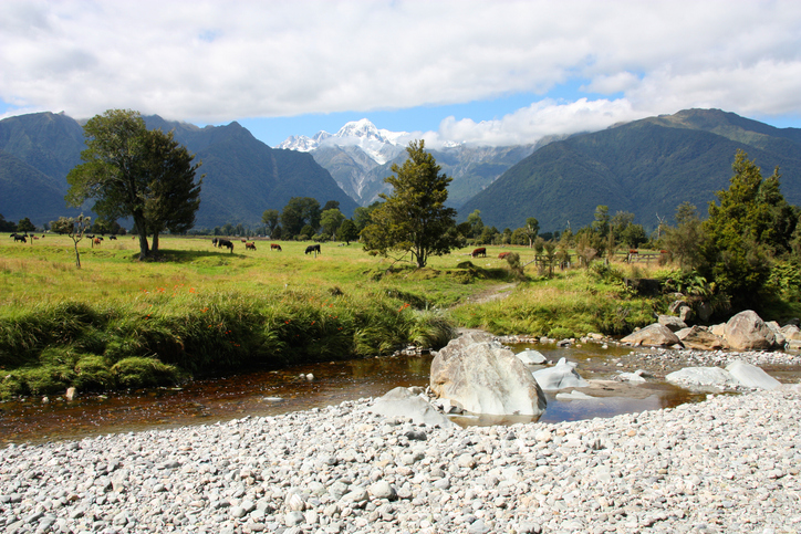
LandscapeDNA is a tool that can help you better understand how your land and its soil and topography can affect water quality. By looking at the water's journey through the landscape, it can help you identify ways to reduce contaminants.
The tool was developed as part of the Our Land and Water National Science. It includes an interactive map to explore local landscapes and has factsheets about practical actions for improving water quality.
Using radiometrics and local knowledge to map how Southland's landscape affects water quality.

Explore how land use affects soil and water quality across New Zealand catchments.
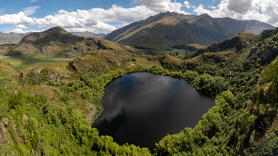
Explore how land use changes affect water quality and nitrogen, phosphorus loads.
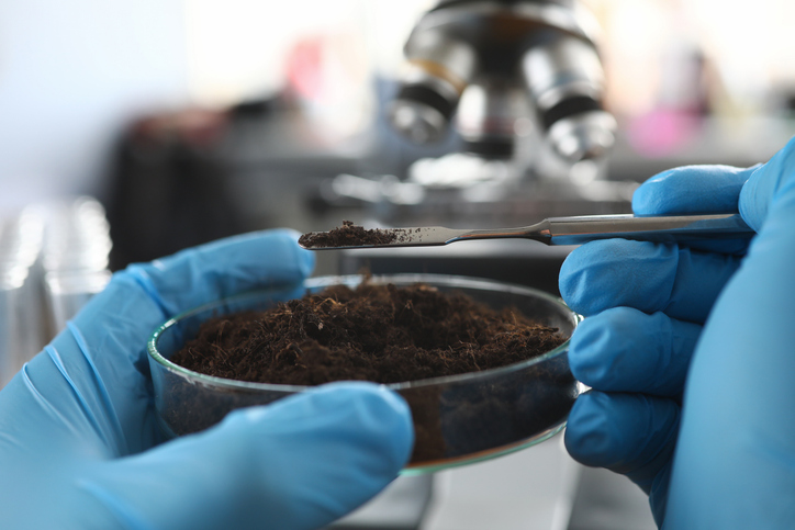
Explore how soil supports farming, impacts the environment, and learn about possible solutions for healthier farming practices.

This widely used map estimates the land's potential for agricultural production.
Explore resources, tools, and research that were funded by the Our Land & Water National Science Challenge.
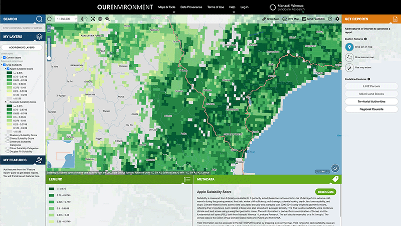
Explore New Zealand’s environment with interactive maps and data on various themes.
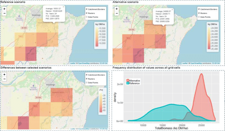
A framework to analyse how climate and soils affect farming landscapes.
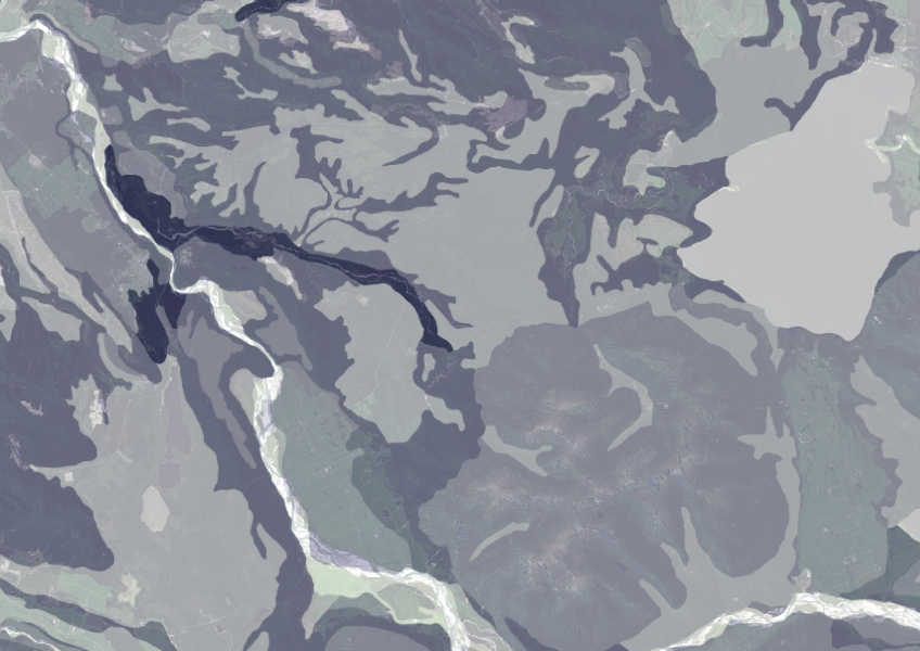
Data on gravel content in topsoil across New Zealand, useful for land use planning.
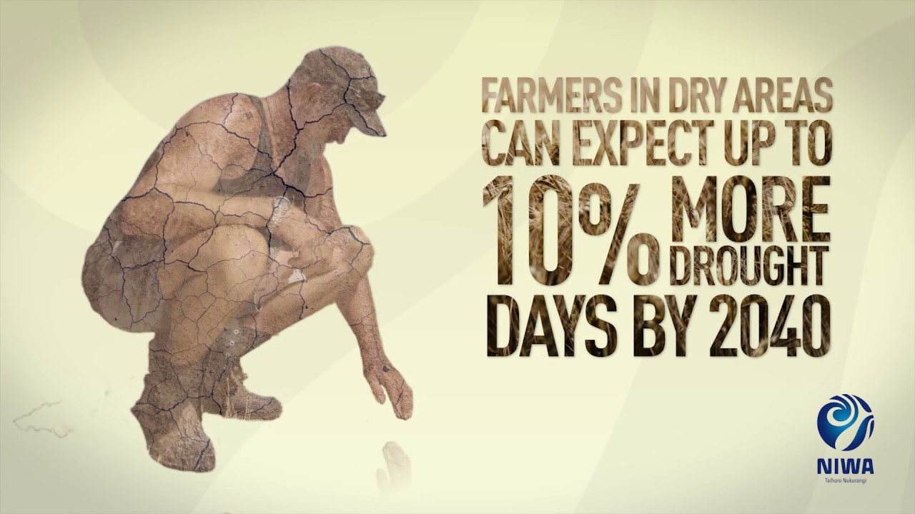
Learn about climate change in Aotearoa and how science helps us adapt.
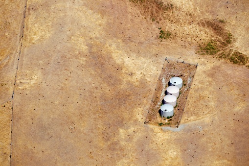
Explore drought impacts and find adaptation strategies for a changing climate.
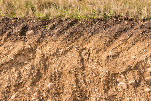
This easy-to-follow guide shows how to do quick soil tests to understand its health, structure, and biology.
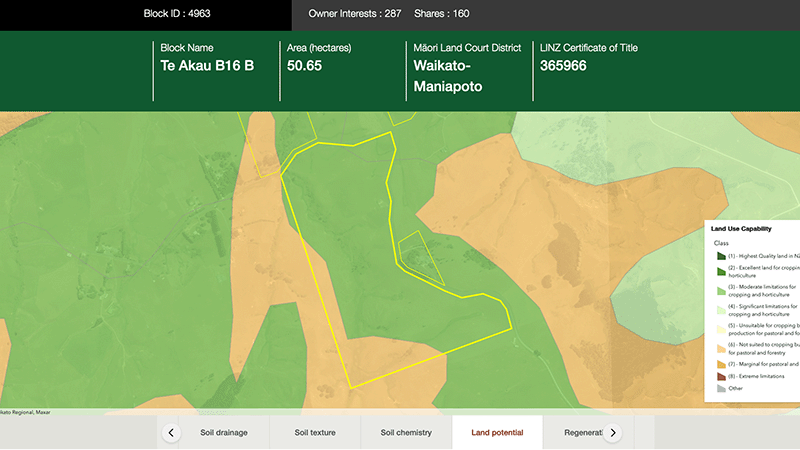
Explore different regulatory, soil, water, and land potential maps for your whenua.
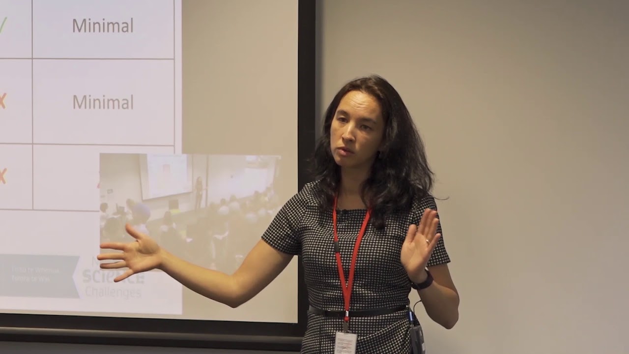
Hear about how climate change could reshape agriculture and land use decisions in Aotearoa.
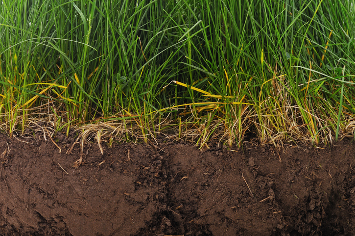
Find factsheets about how to manage different Northland soils.
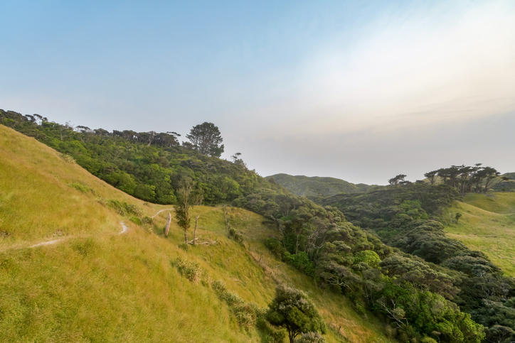
Learn how planting trees helps prevent soil erosion and improve water quality.
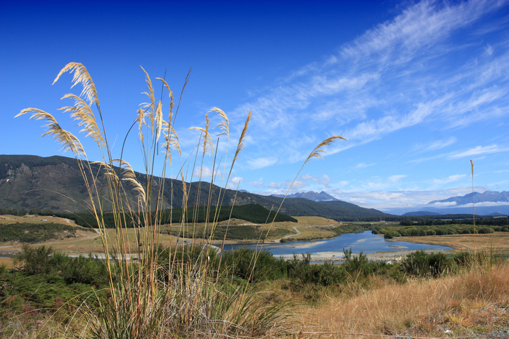
Factsheets about river catchments in Murihiku | Southland.
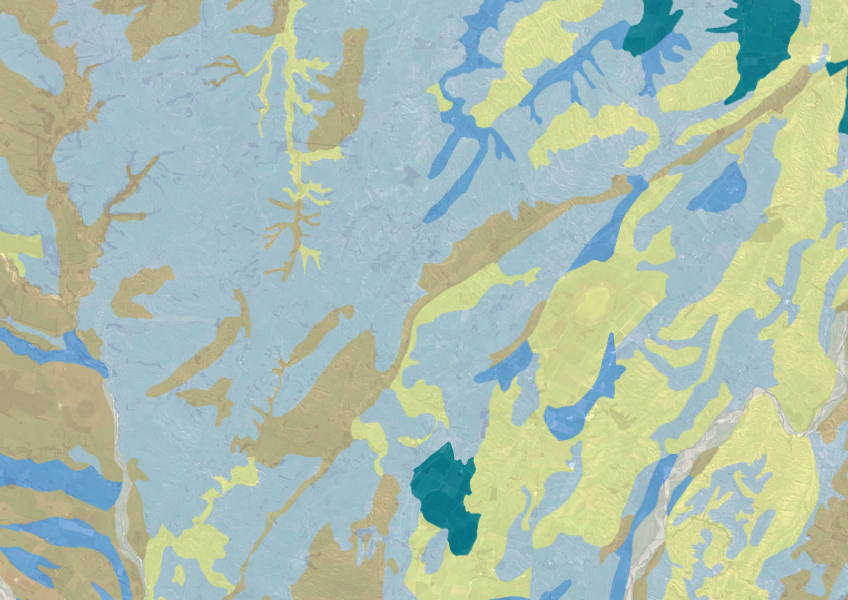
Explore soil drainage classes for land use and growth insights.
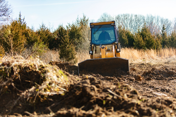
This resource details how to manage the impacts of earthworks on land and water quality, focusing on regulations and best practices.
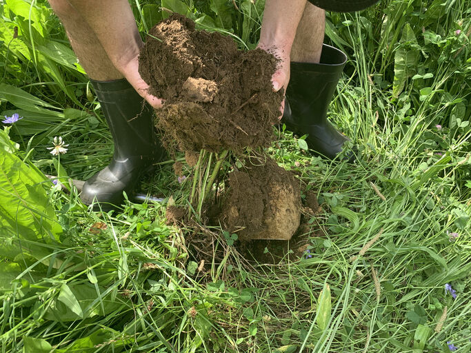
Learn how soil forms, its role on the diverse landscapes of Aotearoa, and its impacts on land management.
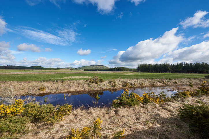
Explore maps showing how livestock density affects water quality in New Zealand rivers.
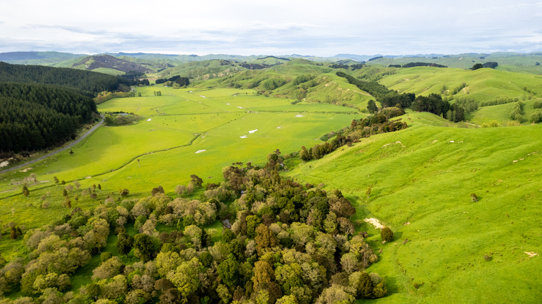
Assess the impact of different on-farm actions on biodiversity using this simple interactive tool.

An interactive tool to help you see how soil chemistry affects plant growth across Aotearoa.