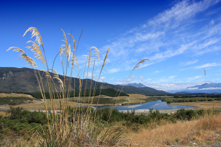
Southland Catchment Factsheets
Whenua
Community
Conservation
Water
Factsheets about river catchments in Murihiku | Southland.

This resource from Manaaki Whenua Landcare Research can help you understand how land use affects soil and water quality in your area. It combines data from regional councils, property values, and water quality measurements from nearly 800 sites in 193 catchments.
The research shows that how you use your land can impact water quality, influenced by factors like climate and catchment characteristics.
Factsheets about river catchments in Murihiku | Southland.
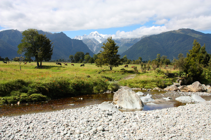
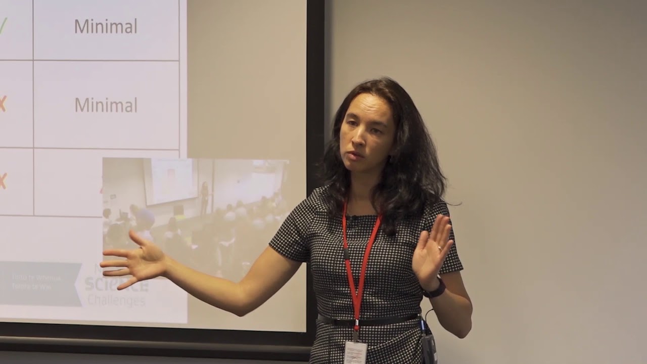
Hear about how climate change could reshape agriculture and land use decisions in Aotearoa.
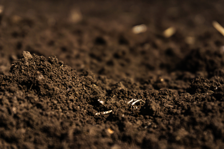
Learn how soil carbon impacts climate change and things you can do on your farm to offset your emissions.

This widely used map estimates the land's potential for agricultural production.
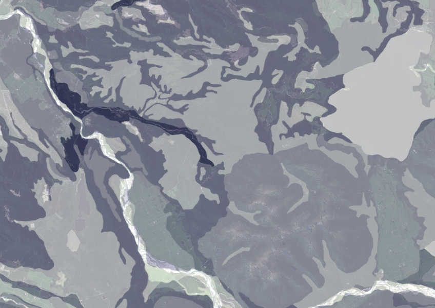
Data on gravel content in topsoil across New Zealand, useful for land use planning.
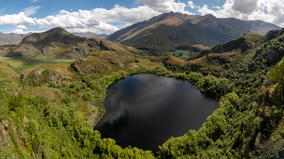
Explore how land use changes affect water quality and nitrogen, phosphorus loads.

Using radiometrics and local knowledge to map how Southland's landscape affects water quality.
This research examines how climate change affects farmland values in Aotearoa.
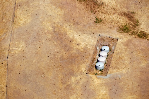
Explore drought impacts and find adaptation strategies for a changing climate.
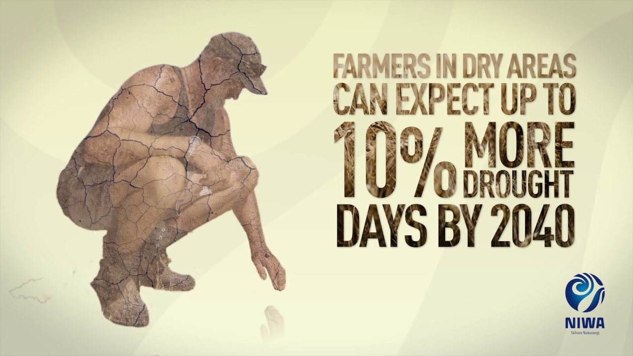
Learn about climate change in Aotearoa and how science helps us adapt.
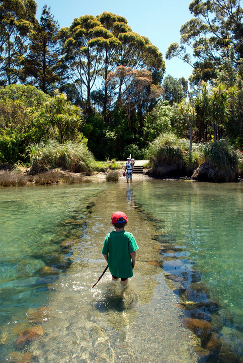
See how land-use and farm practice changes on your land can impact water quality across the catchment.
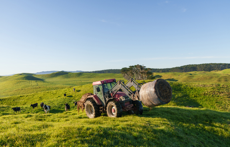
Fill in the basics of a farm plan: your farm, your values and your catchment.
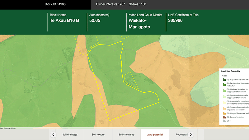
Explore different regulatory, soil, water, and land potential maps for your whenua.
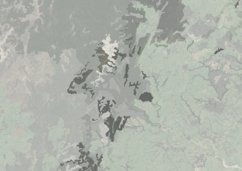
Understand how rocky your whenua is so you can make better land use decisions.
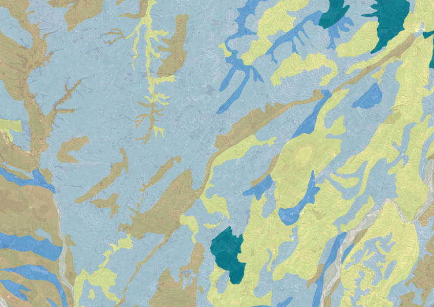
Explore soil drainage classes for land use and growth insights.
Explore maps showing how livestock density affects water quality in New Zealand rivers.
How and why land use in Aotearoa has to change.
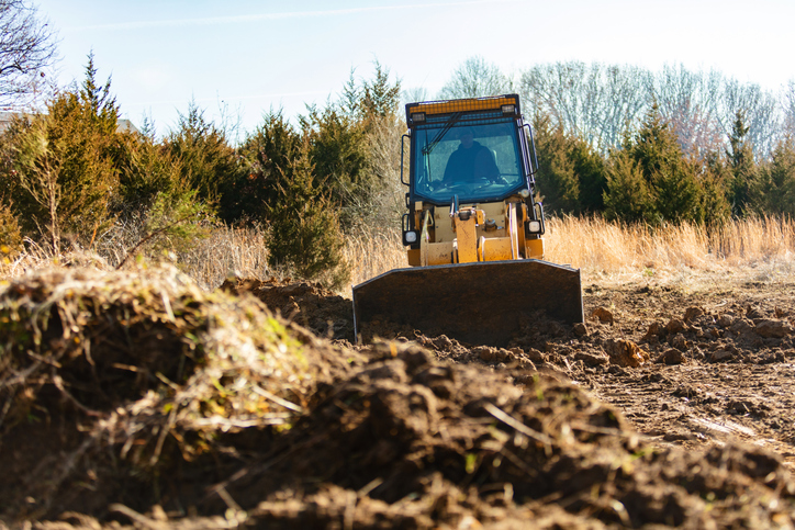
This resource details how to manage the impacts of earthworks on land and water quality, focusing on regulations and best practices.
Webinar on NZ land use classes and the new Land Resources Portal for maps, guides, and data.

This map shows erosion types and estimated severity across Aotearoa.
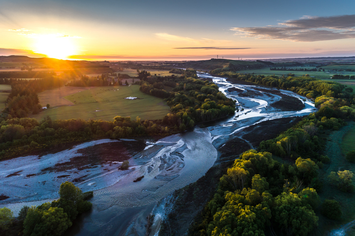
A comprehensive dataset of Aotearoa river catchments that drain to the sea.
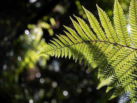
A research project on water-based land use for improving native fish habitats in New Zealand.