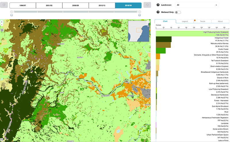
OurEnvironment NZ Landcover Explorer
Whenua
Adaptation
Biodiversity
Conservation
Policy
Explore how land cover has changed in Aotearoa over the past 25 years.
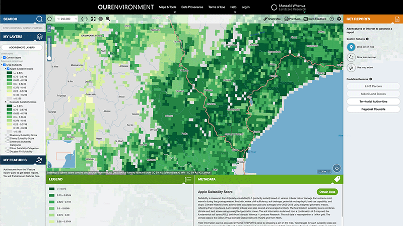
OurEnvironment is a free online mapping tool for exploring New Zealand's environmental data. It allows you to view interactive maps, learn about local regions, and create custom PDF maps.
It includes data and maps to help you understand:
You can view this information broken down by property boundaries, Māori freehold land blocks, territorial authorities, or regional councils. You can also download detailed data through the LRIS Portal.
Explore how land cover has changed in Aotearoa over the past 25 years.
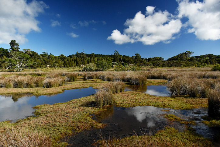
Explore and download spatial data related to Ngā Whenua Rāhui protected areas.
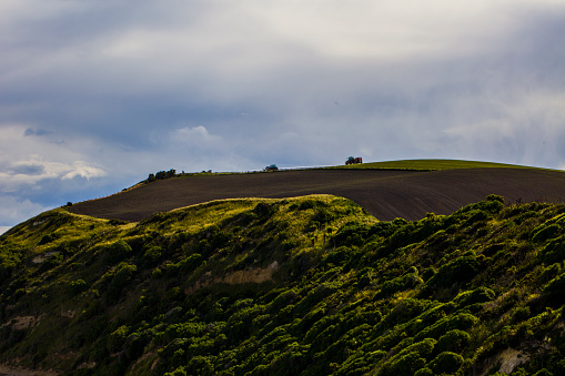
AgriBase maps NZ farms, offering data on type, size, and history for land use planning and research.
Webinar on NZ land use classes and the new Land Resources Portal for maps, guides, and data.

Explore sea-level rise projections for New Zealand’s coasts, with local impacts and maps available.
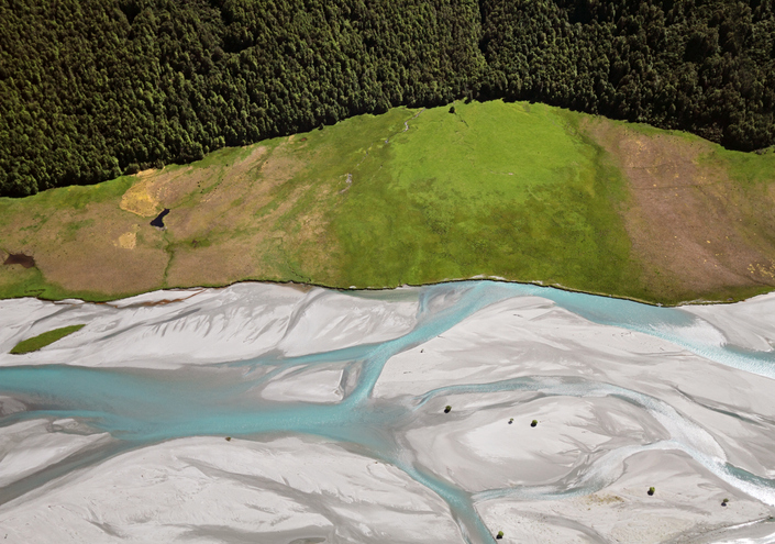
EnviroSatTools is a collection of Google Maps add-ins to help analysts map land and water using satellite imagery and public datasets.
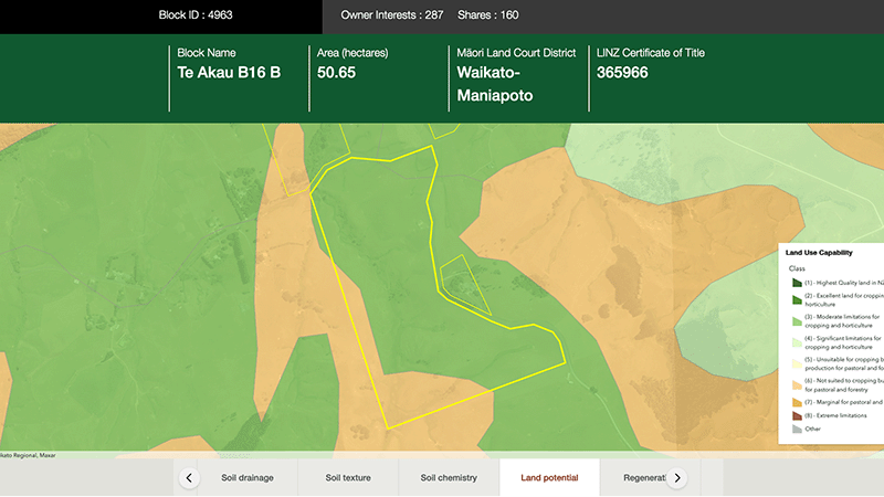
Explore different regulatory, soil, water, and land potential maps for your whenua.
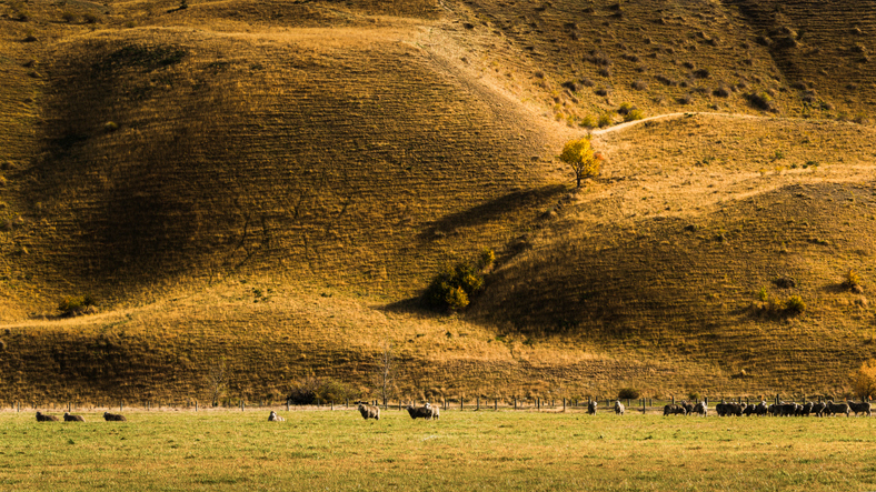
View maps showing average soil moisture deficit onset and termination dates across New Zealand.
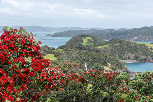
Explore projected temperature and rainfall changes for Aotearoa online.
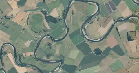
See flood risk maps for your region now and under future climate changes.
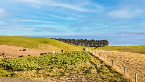
Explore New Zealand's greenhouse gas emissions by sector, gas and year from 1990 onward.
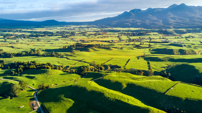
Explore key issues in New Zealand's land use change with expert insights and customizable data.
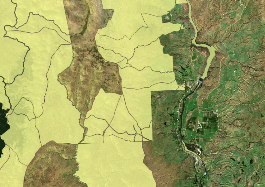

See land cover in Aotearoa and how it has changed over time.
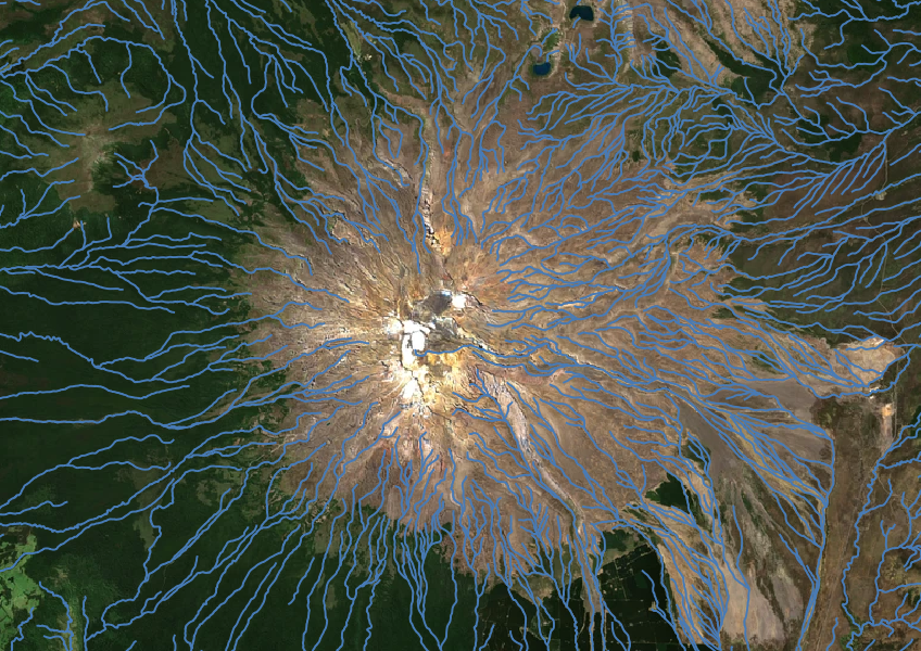
Download a dataset of named and unnamed river lines data for use in your analysis.
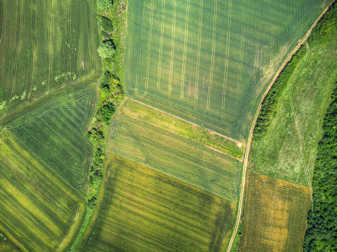
A data-driven model to explore how policies and land use affect the environment in New Zealand.
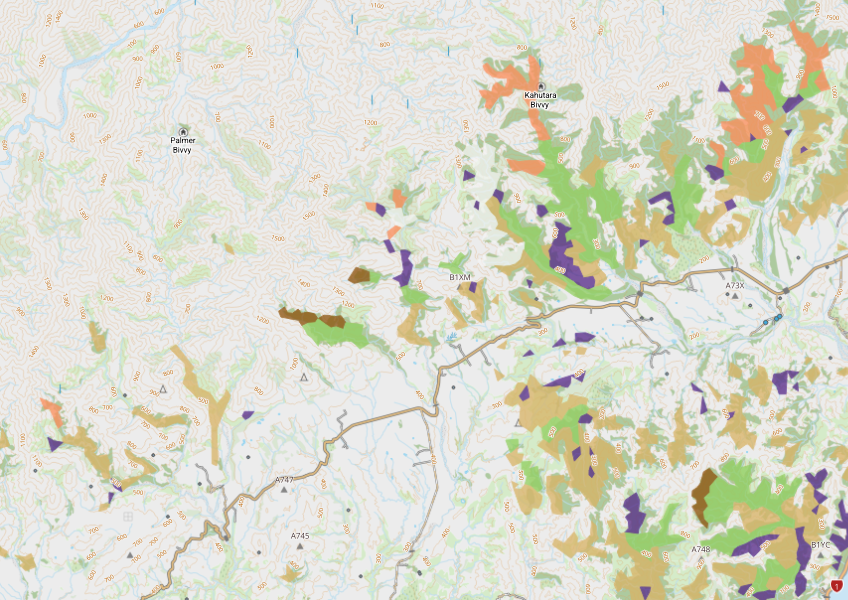
View indigenous forest cover in North Island, based on older aerial data from 1948-1955. North and South Island data has been combined into a national layer.

LUCAS is a national dataset that tracks carbon sequestration and land use change over time.
Learn how national planning standards impact iwi/Māori in local resource management.
See how land-use and farm practice changes on your land can impact water quality across the catchment.
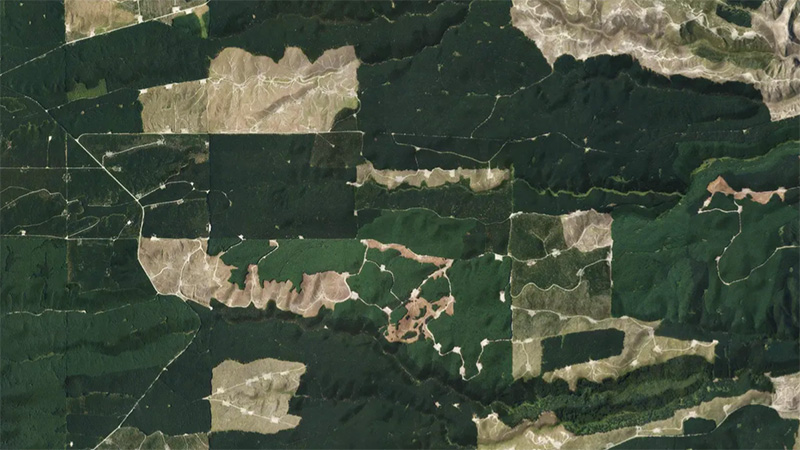
This add-in for Google Earth can help you monitor and analyse forest changes using satellite imagery and public datasets.
Learn to map your farm with easy webinars on using Google My Maps for project planning.