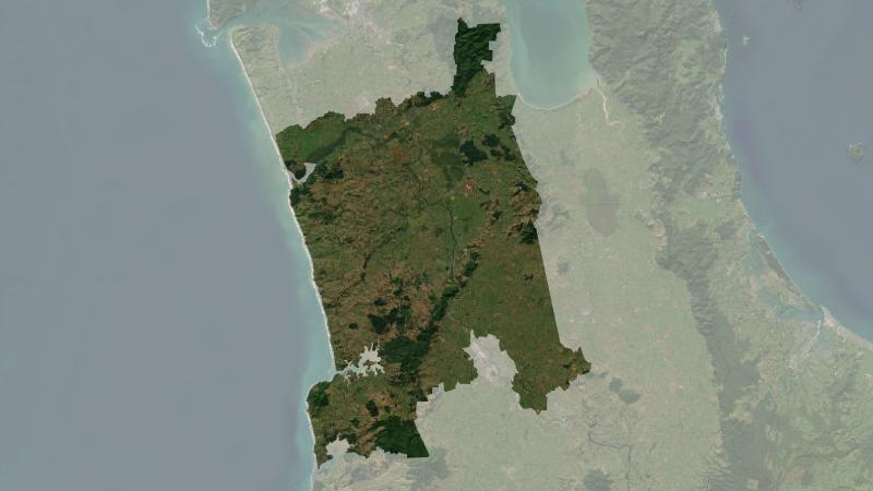
Climate summary report - Waikato District
Climate
Adaptation
Flooding
Planning
Resilience
Risk
Understand climate event and variability trends for Waikato District.
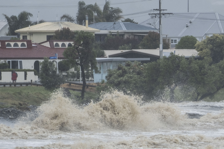
This Climate Resilience Web App lets you explore projected hazards like heatwaves, droughts, extreme hot days, wet spells, heavy rainfall, flooding and sea-level rise for your local community. The interactive maps show which areas or marae face the highest risks and let you layer in socio-economic factors such as social isolation, internet access or age of whānau.
Understand climate event and variability trends for Waikato District.
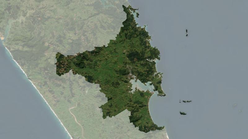
Understand climate event and variability trends for Whangarei District.
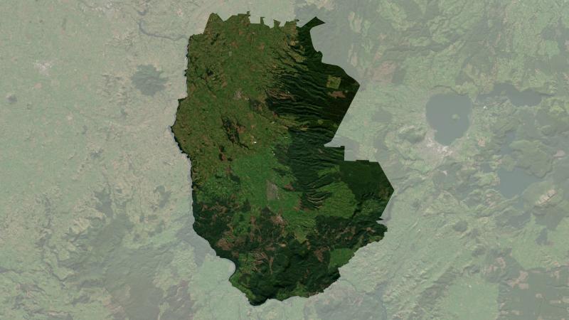
Understand climate event and variability trends for South Waikato District.
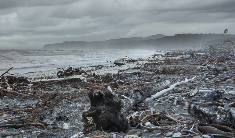
A detailed report on the climate-related challenges facing Māori communities.
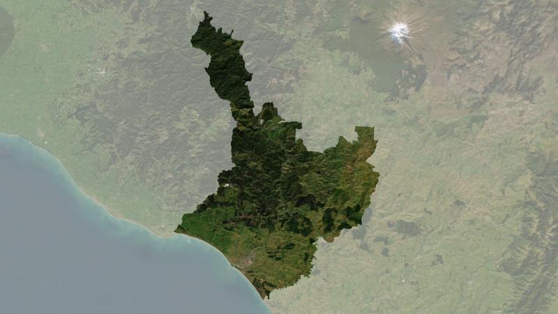
Understand climate event and variability trends for Whanganui District.
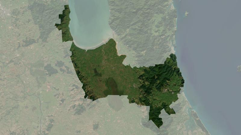
Understand climate event and variability trends for Hauraki District.

Explore coastal flood maps to assess the potential impacts of sea-level rise in your rohe.
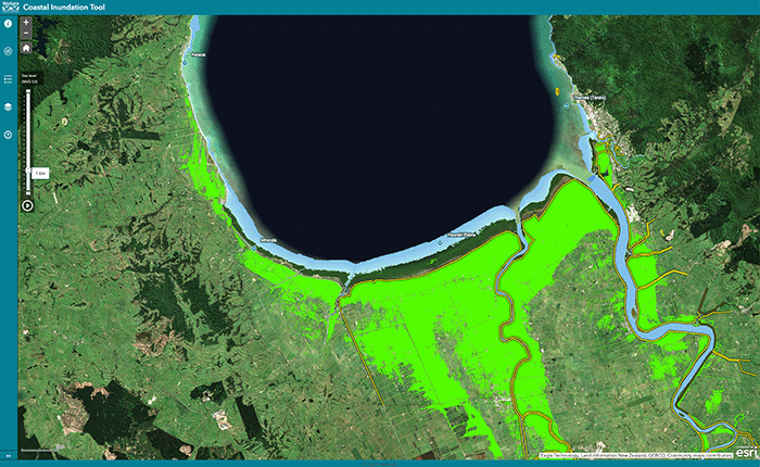
Understand coastal flooding risks in the Waikato region.
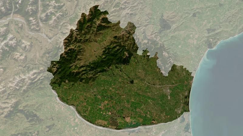
Understand climate event and variability trends for Waimakariri District.
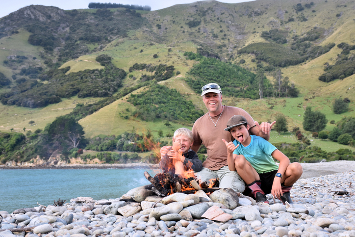
FarmSalus helps farmers focus on wellbeing and resilience for better farm management.
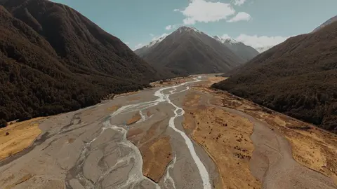
See where river management and flood protection projects are under way.
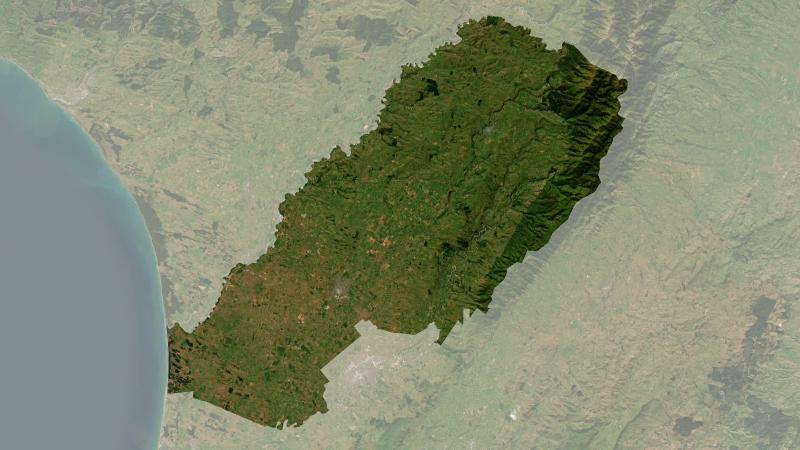
Understand climate event and variability trends for Manawatu District.
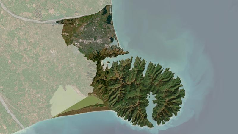
Understand climate event and variability trends for Christchurch.
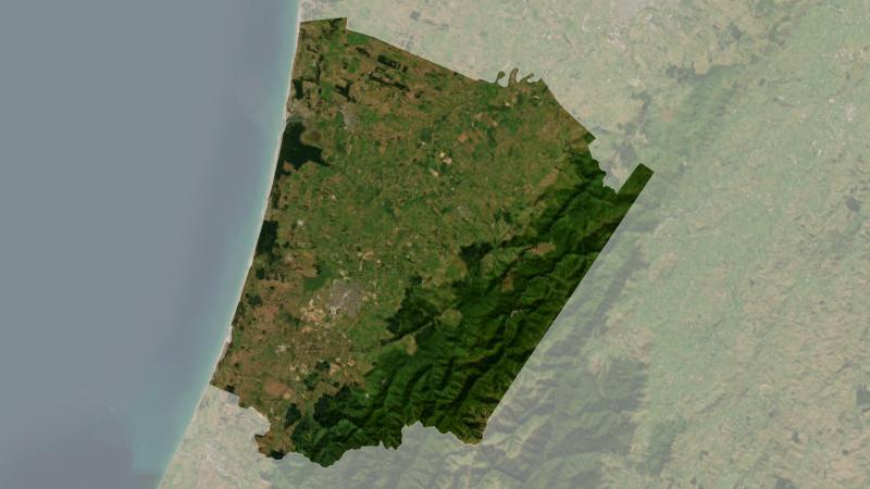
Understand climate event and variability trends for Horowhenua District.
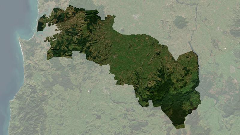
Understand climate event and variability trends for Ōtorohanga District.

Explore sea-level rise projections for New Zealand’s coasts, with local impacts and maps available.
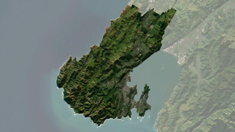
Understand climate event and variability trends for Wellington.
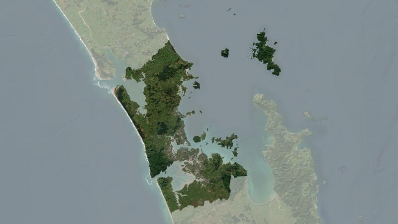
Understand climate event and variability trends for Auckland.
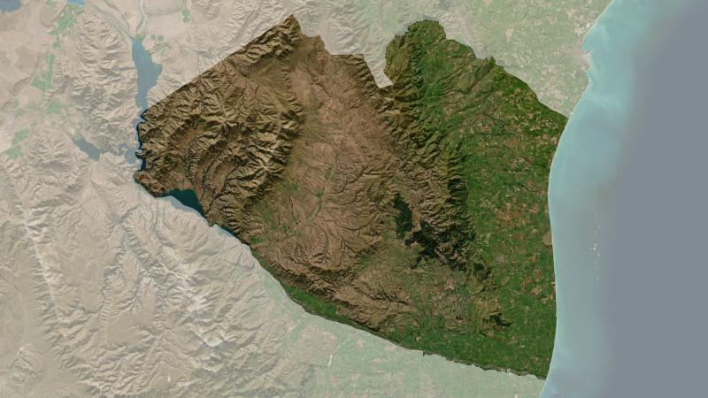
Understand climate event and variability trends for Waimate District.
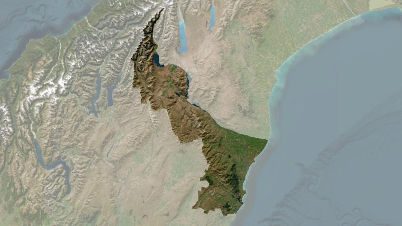
Understand climate event and variability trends for Waitaki District.
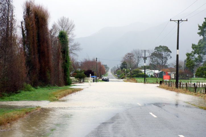
Explore how climate change affects water, health, and wellbeing with this interactive tool.
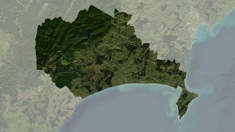
Understand climate event and variability trends for Wairoa District.
Auckland faces climate change risks including rising temperatures, sea levels, and extreme weather.