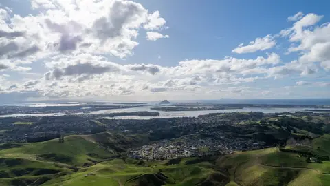
Bay of Plenty regional climatology
Climate
Adaptation
Farm planning
Resilience
Risk
Water
Discover why the Bay of Plenty is one of the sunniest and calmest regions in Aotearoa.
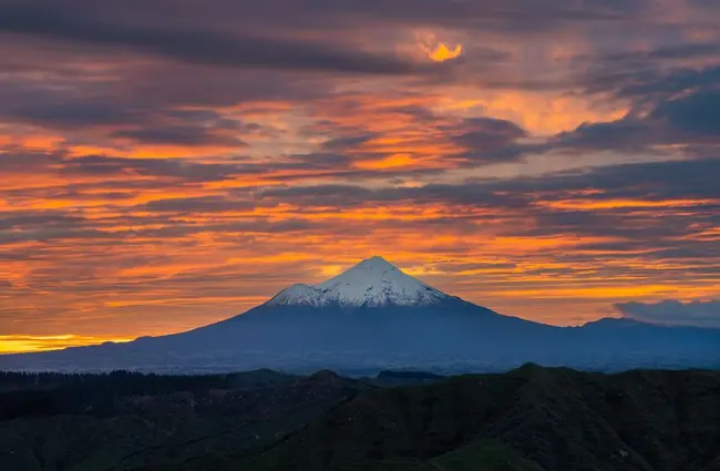
This report describes the typical climate of Taranaki. The region sits on the west of Te Ika-a-Māui and takes the full force of weather systems that cross the Tasman Sea. Westerly winds make it one of the windiest parts of the country. It is also sunny, with moderate temperatures and reliable rain spread evenly through the year.
It draws on long-term records from climate stations across the region and covers rainfall, temperature, sunshine, wind, frost and snow. Use it to see what conditions your whenua can expect through the year.
Discover why the Bay of Plenty is one of the sunniest and calmest regions in Aotearoa.
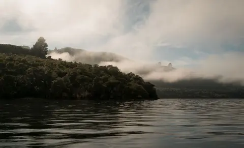
See how the Waikato climate changes from the Coromandel coast to the Central Plateau.
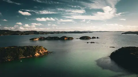
Find out what Northland's mild, humid and windy climate means for your whenua.
Explore the sunny but extreme climate of Tairāwhiti and its dry springs.
Compare rainfall, frost and dry-spell patterns across Te Matau-a-Māui Hawke's Bay.
See how Cook Strait and the ranges split the Wellington region's climate.
Find out how rain, mild temperatures and the Southern Alps shape the West Coast climate.
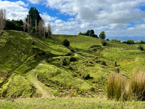
Learn what the mild, westerly climate of Manawatū-Whanganui means for pasture growth.
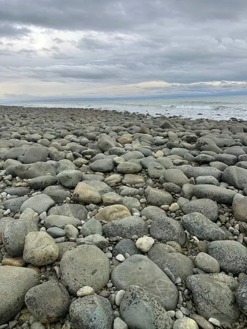
Discover the sunshine, dry spells and mild temperatures of Whakatū Nelson and Tasman.
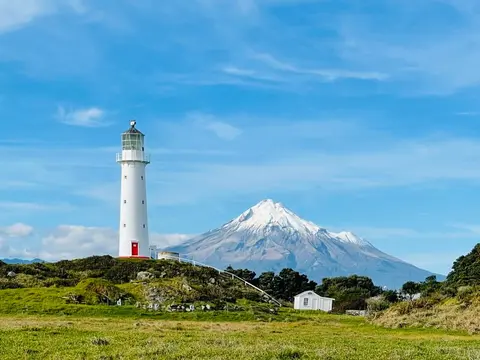
Check live rainfall, river level and water quality readings across Taranaki.
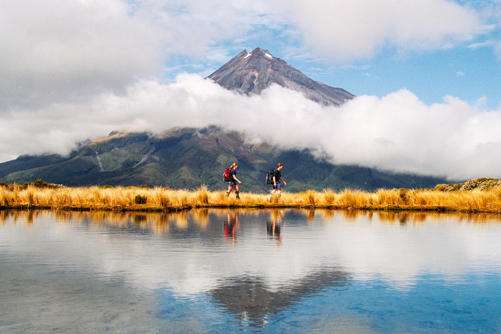
Learn about rules for activities near Taranaki wetlands.
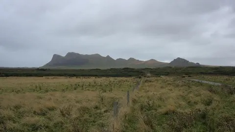
Explore the windy, cloudy and fast-changing climate of Rēkohu Chatham Islands.
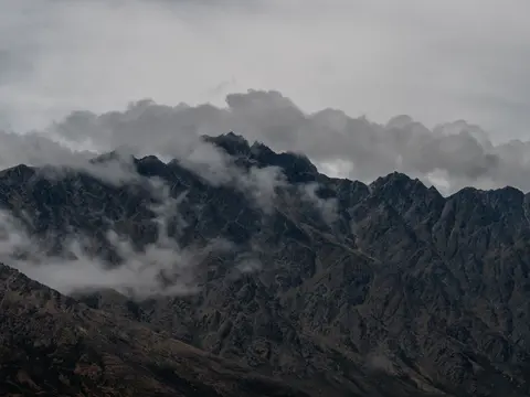
See how Ōtākou Otago ranges from the driest inland basins to the cool wet coast.
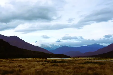
Compare the five climate zones of Waitaha Canterbury, from the plains to the main divide.
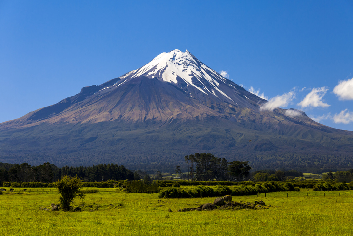
Access monthly and yearly climate summaries for Taranaki from the regional council.
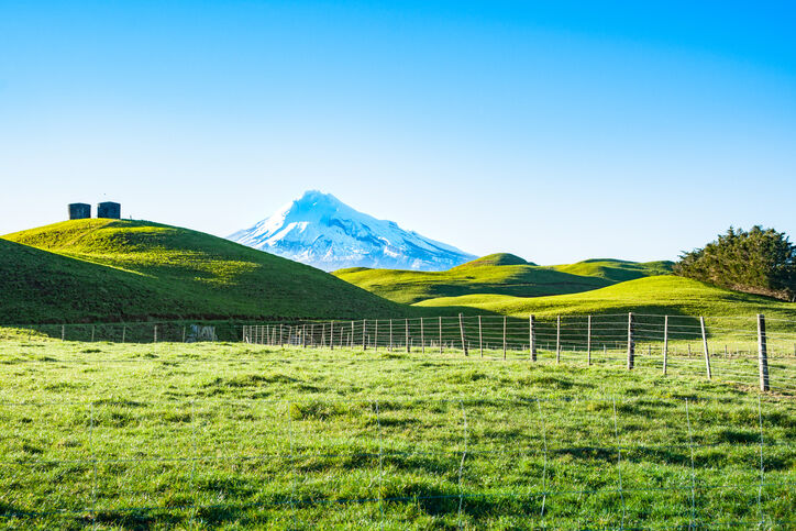
A report produced by NIWA, details climate change impacts and projections for Taranaki until 2100.
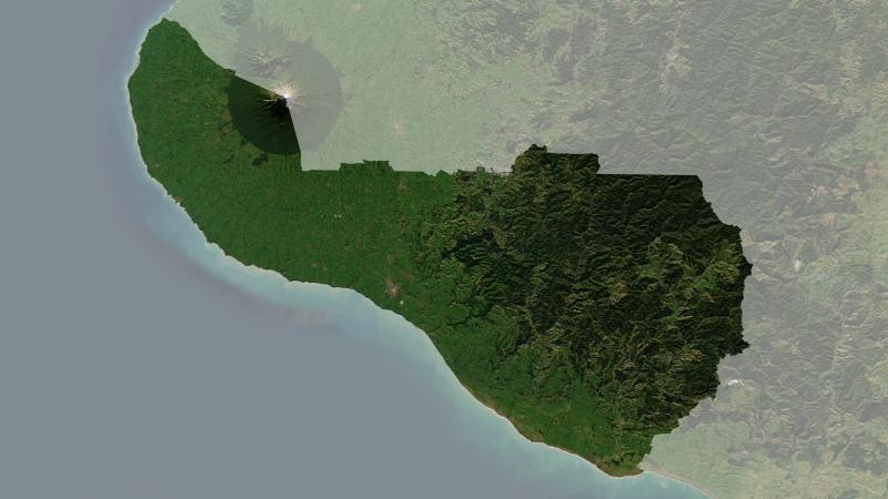
Understand climate event and variability trends for South Taranaki District.
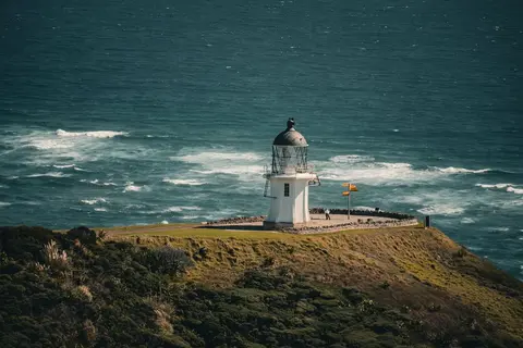
Read NIWA's full technical report on Northland's climate out to 2090.
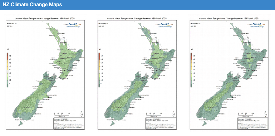
Explore how climate change will impact New Zealand's weather and environment over the coming century.
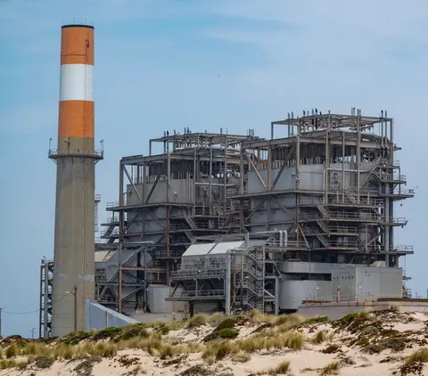
Learn how Taranaki industry can switch process heat from gas to biomass and electricity.
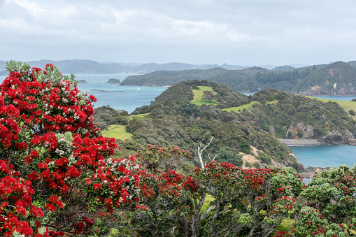
Explore projected temperature and rainfall changes for Aotearoa online.
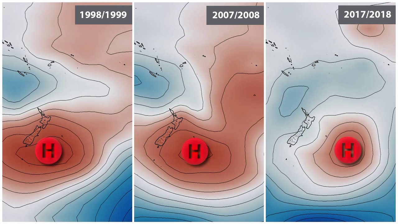
Learn how La Niña affects rainfall, temperatures, and oceans in Aotearoa.

Auckland faces climate change risks including rising temperatures, sea levels, and extreme weather.