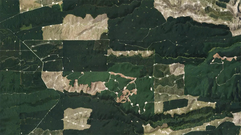
EnviroSatTools: Forestry change module
Whenua
Forestry
Sustainability
This add-in for Google Earth can help you monitor and analyse forest changes using satellite imagery and public datasets.
This add-in for Google Earth can help you monitor and analyse forest changes using satellite imagery and public datasets.
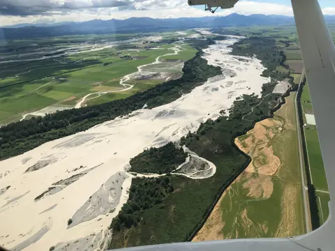
This add-in for Google Earth can help you map flooding using satellite imagery and public datasets.

This add-in for Google Earth can help you analyse coastal changes using satellite imagery and public datasets.
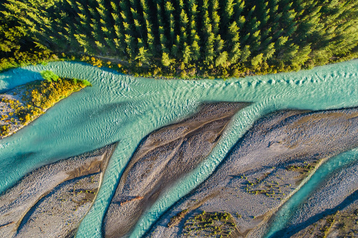
This add-in for Google Earth can help you track short-term land changes using satellite imagery and public datasets.
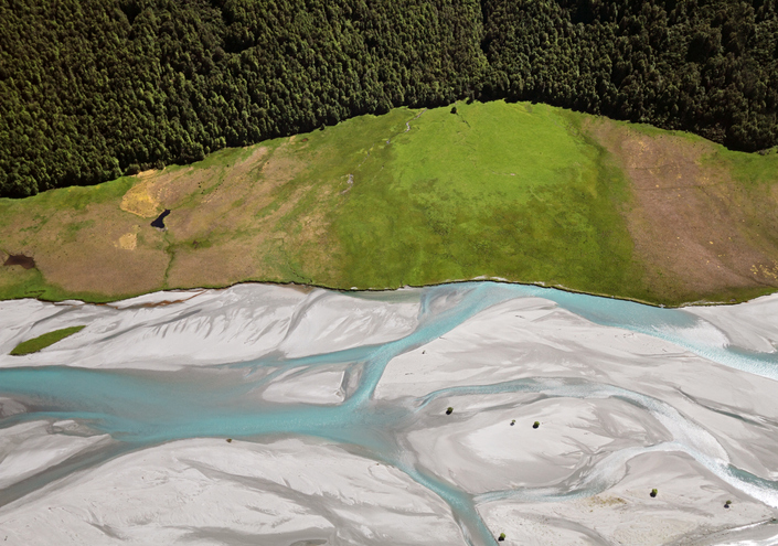
EnviroSatTools is a collection of Google Maps add-ins to help analysts map land and water using satellite imagery and public datasets.
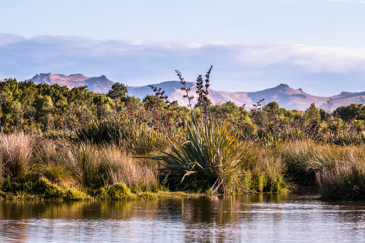
This add-in for Google Earth can help you identify wetlands using satellite imagery and public datasets.
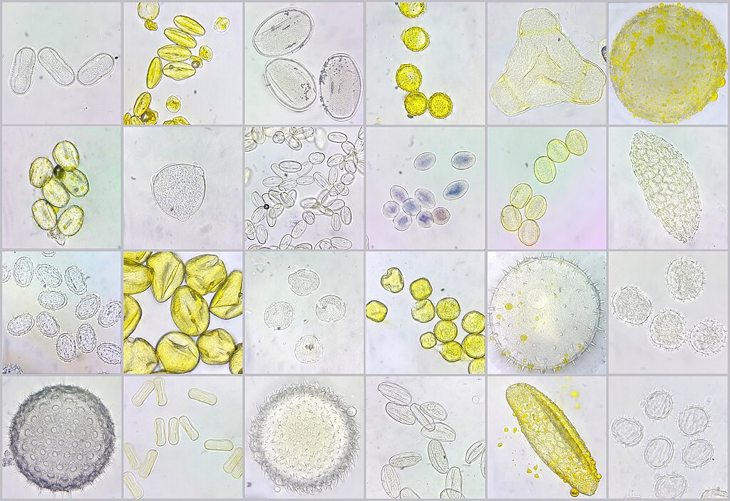
A visual guide to New Zealand bee pollen to help with honey analysis and identification.