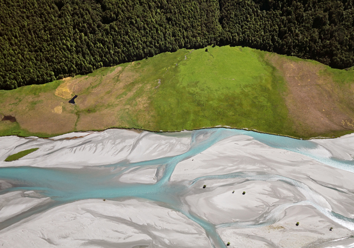
EnviroSatTools: A Collaborative Satellite Data Workspace for Regional Councils
EnviroSatTools is a collection of Google Maps add-ins to help analysts map land and water using satellite imagery and public datasets.
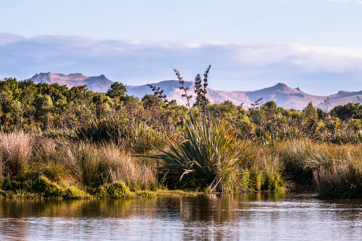
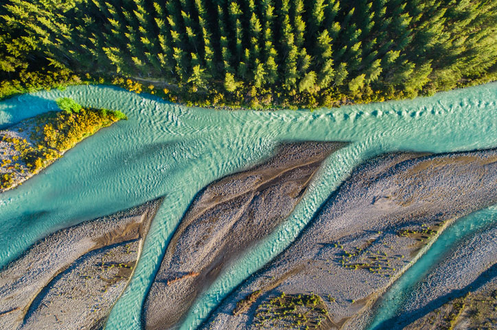
EnviroSatTools: Wetlands Module is a Google Earth add-in that can help identify and map coastal changes using satellite imagery and public datasets. It is intended for users with some technical and local knowledge about coastal landscapes.
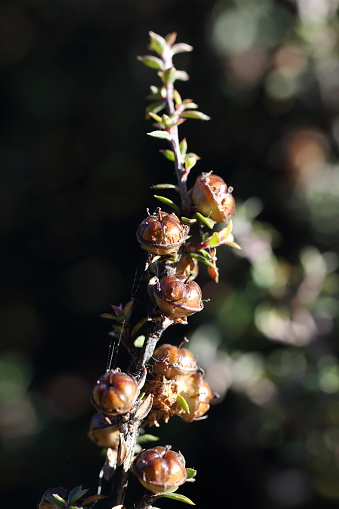
Learn about strategies and techniques for supporting and managing native biodiversity on your farm.

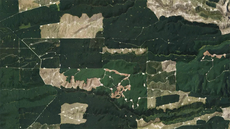
This add-in for Google Earth can help you monitor and analyse forest changes using satellite imagery and public datasets.
Read about potential ways to transition exotic coastal buffers to native forests.

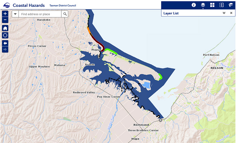
View sea-level rise and coastal erosion risks in Tasman Bay and Golden Bay.

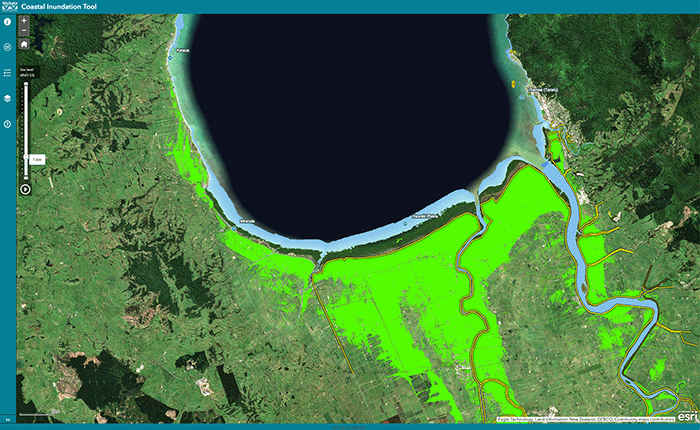
Explore coastal flood maps to assess the potential impacts of sea-level rise in your rohe.

Learn to map your farm with easy webinars on using Google My Maps for project planning.

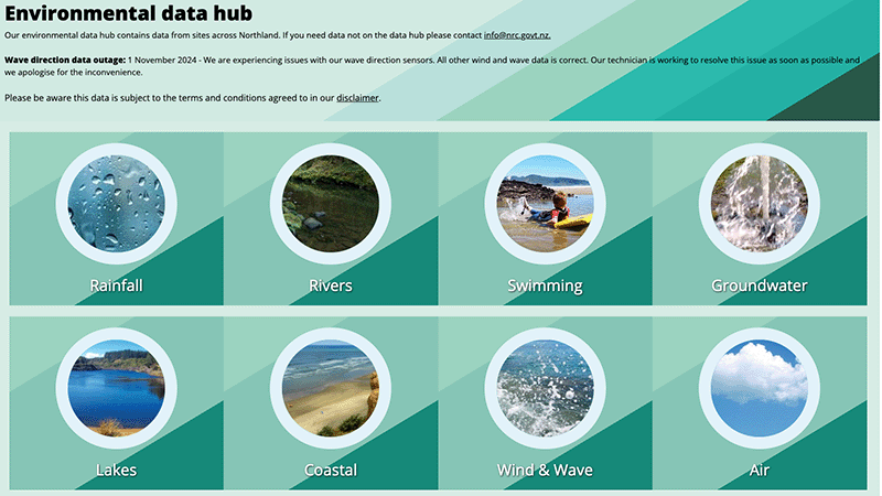
Access diverse environmental data from Northland, including air, water, and rainfall quality.


Learn how to identify wetlands on your whenua.

An online learning module that explains everything you need to know about stock water management.

An online game about adapting your coastal property as sea levels rise.

A practical guide to building biodiversity into your farm plan