EnviroSatTools: Coastal Module
Whenua
Conservation
Sustainability
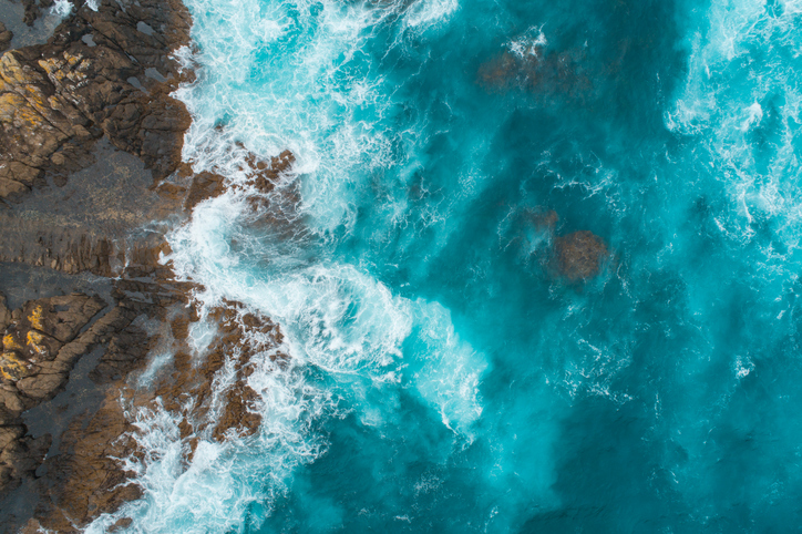
This add-in for Google Earth can help you analyse coastal changes using satellite imagery and public datasets.
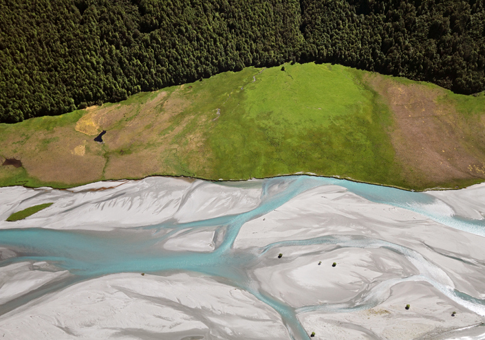
EnviroSatTools is a collection of Google Earth add-ins that can help you map and analyse land, water, and changes over time. It is intended for users with some technical and local knowledge.
This add-in for Google Earth can help you analyse coastal changes using satellite imagery and public datasets.
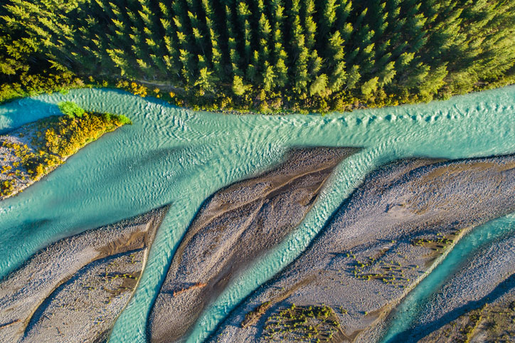
This add-in for Google Earth can help you track short-term land changes using satellite imagery and public datasets.
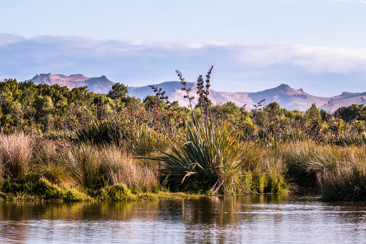
This add-in for Google Earth can help you identify wetlands using satellite imagery and public datasets.
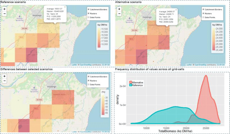
A framework to analyse how climate and soils affect farming landscapes.
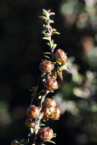
Plantation Watch Lite offers satellite imagery for land changes in Aotearoa.
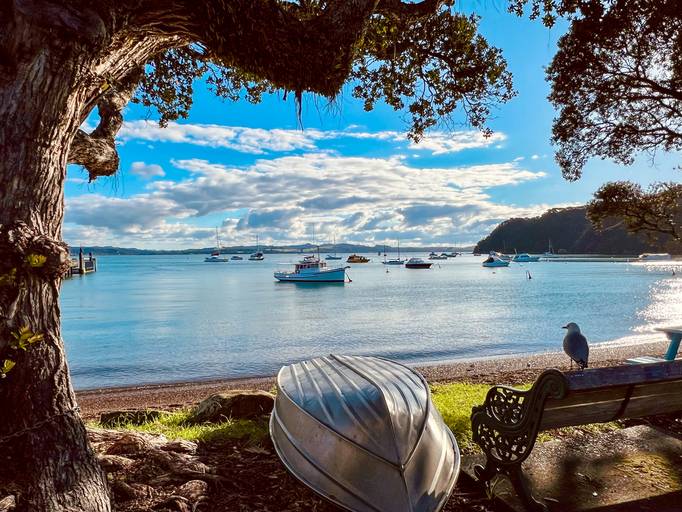
Te Tai Tokerau’s strategy tackles climate challenges with councils and Māori collaboration.
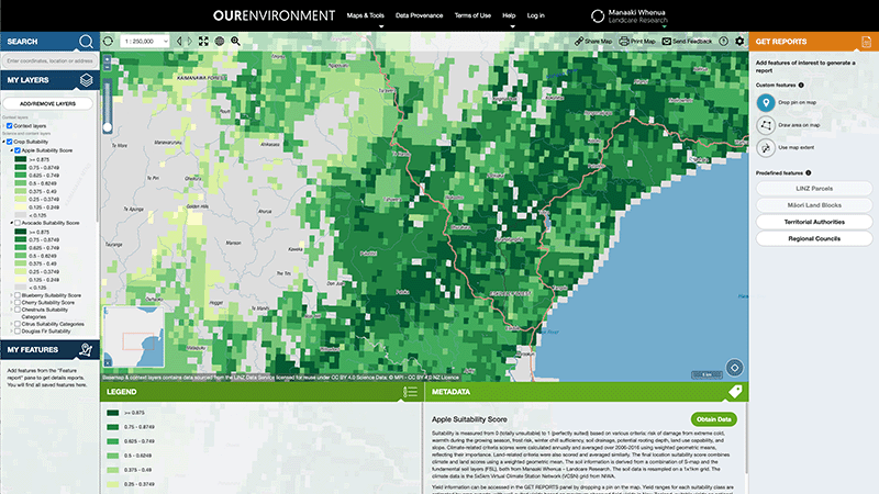
Explore New Zealand’s environment with interactive maps and data on various themes.
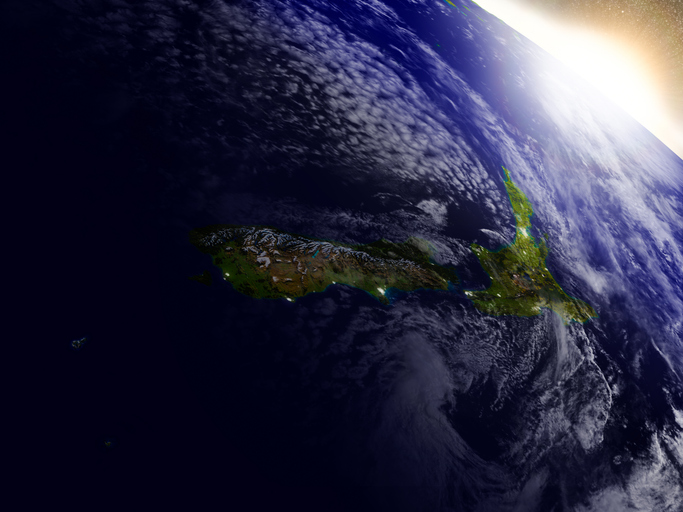
This resource discusses how satellite data can improve New Zealand's food and fibre sector.
Get an overview of the datasets and tools in the WWO Data Supermarket.

Explore sea-level rise projections for New Zealand’s coasts, with local impacts and maps available.
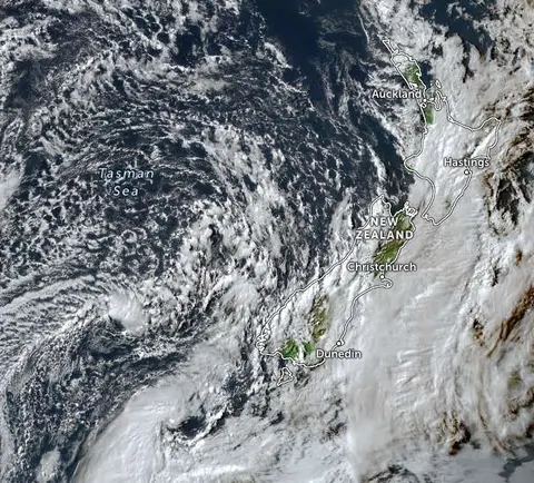
Zoom in on live satellite maps to check weather, floods, fire risk, and land changes in your rohe.

LUCAS is a national dataset that tracks carbon sequestration and land use change over time.

See land cover in Aotearoa and how it has changed over time.
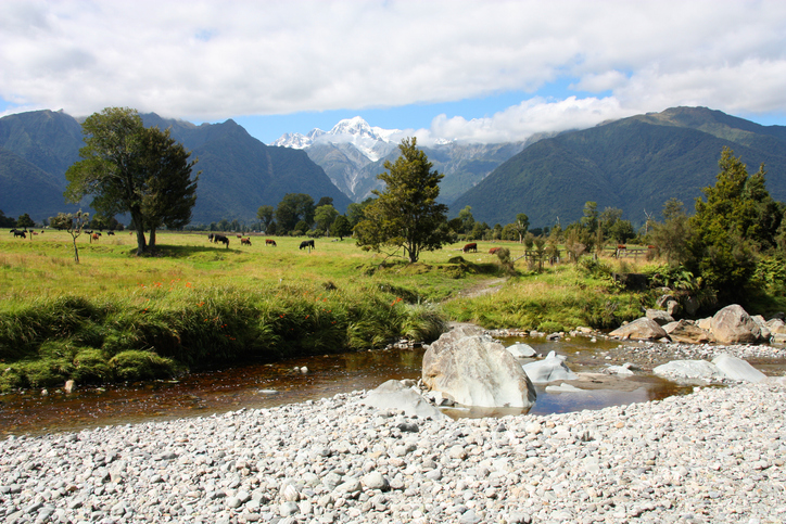
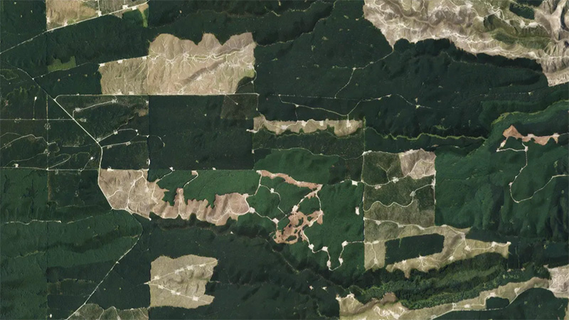
This add-in for Google Earth can help you monitor and analyse forest changes using satellite imagery and public datasets.
Learn to map your farm with easy webinars on using Google My Maps for project planning.
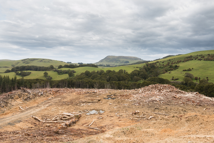
See statistics about deforestation for each local council area.

Explore how land use affects soil and water quality across New Zealand catchments.
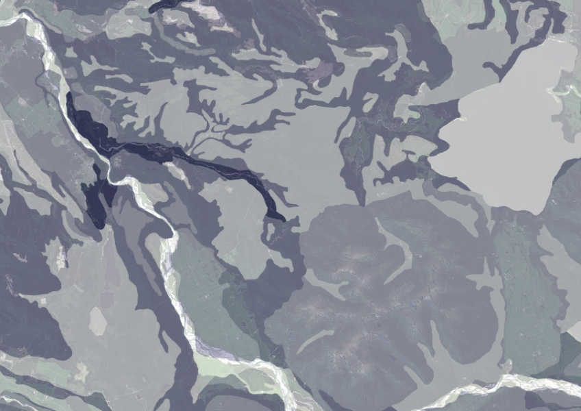
Data on gravel content in topsoil across New Zealand, useful for land use planning.
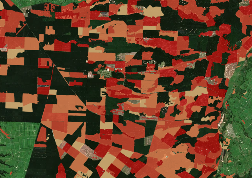
See the extent of forested land cleared between 2008 and 2020 shaded by year.

This widely used map estimates the land's potential for agricultural production.
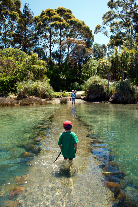
See how land-use and farm practice changes on your land can impact water quality across the catchment.
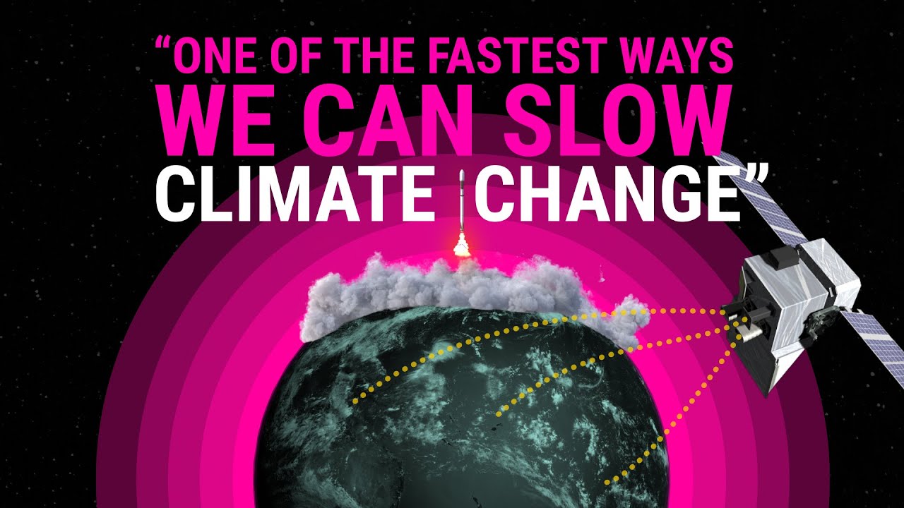
How New Zealand scientists are tracking farm methane from space.