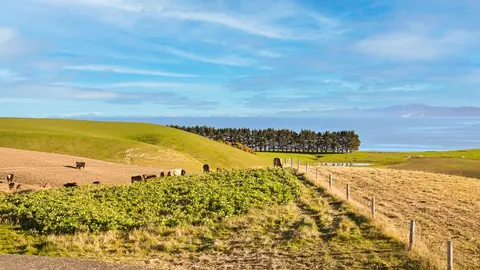
New Zealand's Interactive Emissions Tracker
Climate
Emissions reduction
Greenhouse gas
Methane
Explore New Zealand's greenhouse gas emissions by sector, gas and year from 1990 onward.
The Ministry for Cities, Environment, Regions and Transport (MCERT) is the government ministry that now holds the work of the former Ministry for the Environment. It brings together housing, transport, the environment, local government and regional development in one agency.
MCERT advises the Government on environmental policy, laws and standards. With Stats NZ it reports on the state of the environment, and it publishes facts, science, data and guidance on air, biodiversity, climate change, freshwater, marine, land and waste. Its consultations are the way to have a say on proposed policy changes.

Explore New Zealand's greenhouse gas emissions by sector, gas and year from 1990 onward.
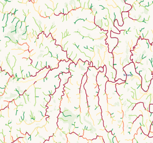
Check which streams on your whenua are most vulnerable to bank erosion.
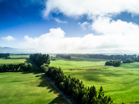
Learn how national planning standards impact iwi/Māori in local resource management.

Tools for tangata whenua and local authorities to agree participation under the RMA.
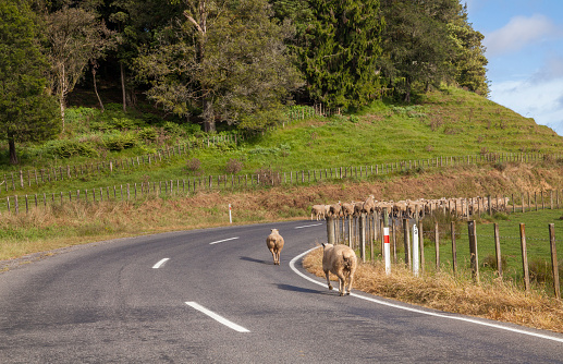
A report examining the economic effects of potential 2050 emissions targets using a dynamic CGE model.
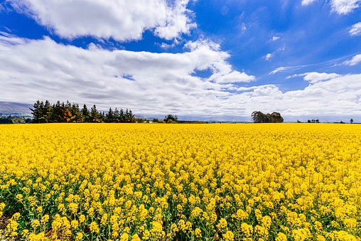
A framework for assessing climate change risks and opportunities in Aotearoa.
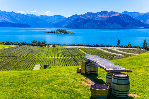
Research on New Zealanders' views about climate change, water, and waste issues.

LUCAS is a national dataset that tracks carbon sequestration and land use change over time.
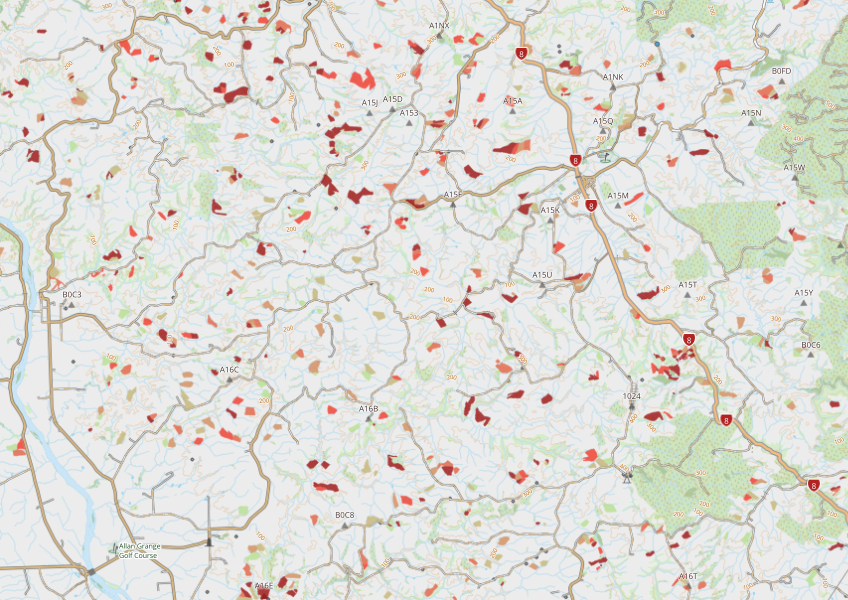
This dataset maps winter forage areas in New Zealand's hill country.
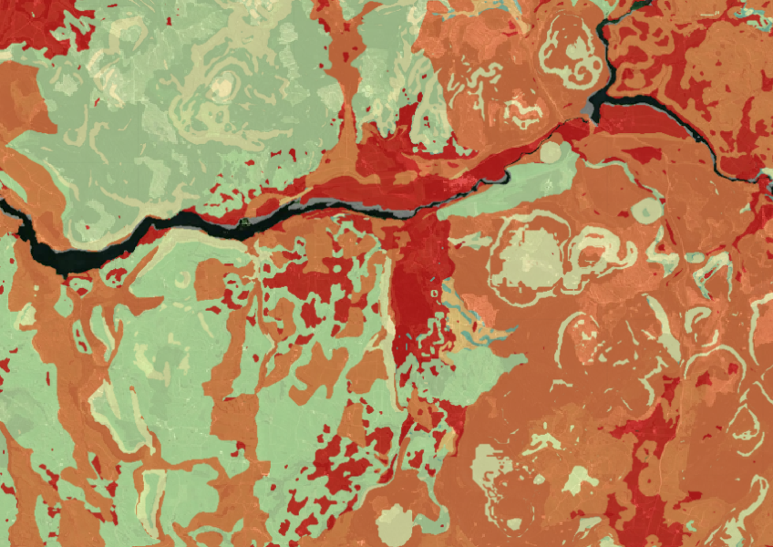
Map showing our remaining indigenous vegetation and its protection status..
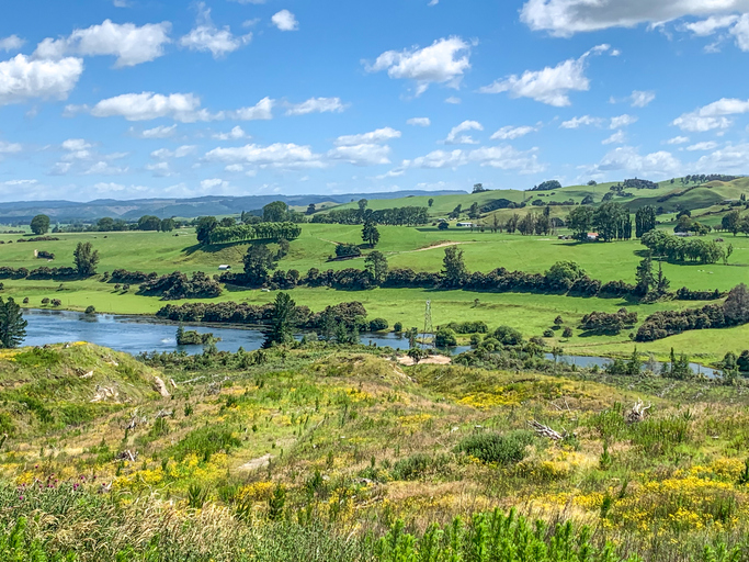
These reports break down Aotearoa's greenhouse gas emissions by sector and type.
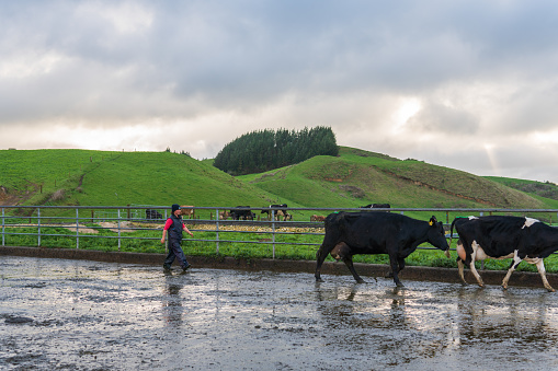
Map showing nitrate-nitrogen leaching from dairy farms, with spatial accuracy at 100m resolution.