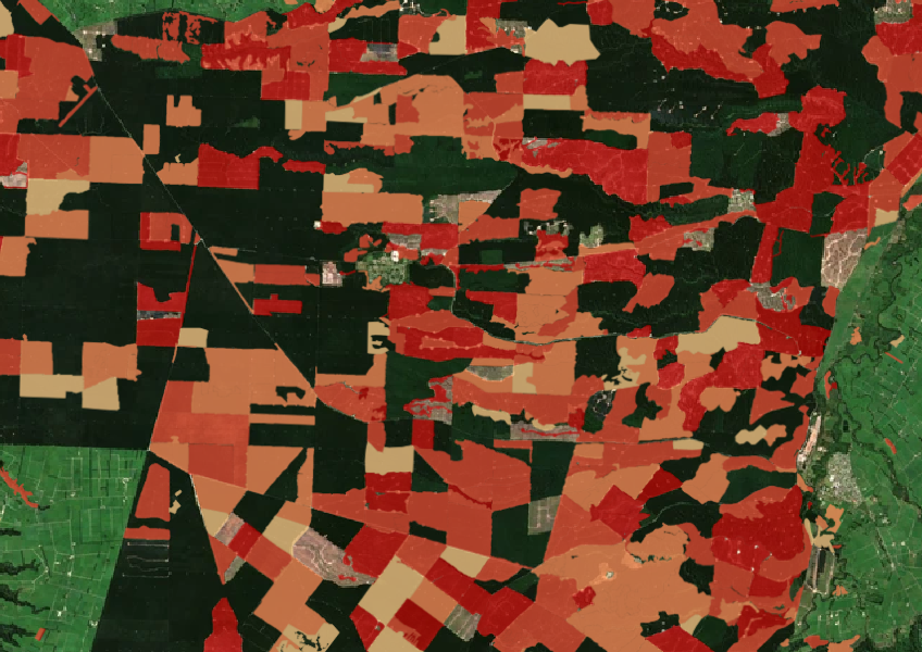
Forest clearing data from 2008 - 2020
Climate
Forestry
Regeneration
Sustainability
See the extent of forested land cleared between 2008 and 2020 shaded by year.

The Land-Use and Carbon Analysis System (LUCAS) land use map shows different land uses in Aotearoa and how they have changed over time. It was developed to help estimate our national greenhouse gas emissions and removals to ensure we comply with our international climate change reporting obligations, but it can also be useful for understanding land use patterns and management impacts in your rohe.
There are maps for 1989, 2007, 2012, 2016, and 2020. The preview map on this page uses the 2020 data. While the map is a useful tool for conversations it may not be accurate down to the level of detailed farm decision-making, so you should always do your own investigations or consult an expert before making big calls.
The Ministry for the Environment website has a lot of great information about how the maps were developed and how to interpret them.
Data sourced from Ministry for the Environment and licensed under CC BY 4.0.
See the extent of forested land cleared between 2008 and 2020 shaded by year.

See land cover in Aotearoa and how it has changed over time.
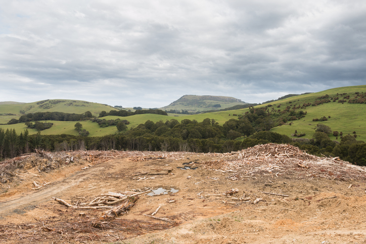
See statistics about deforestation for each local council area.
Read NZAGRC's recommendations
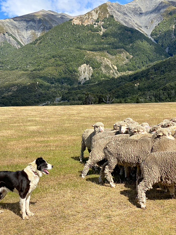
A model to study land use changes and their effects in rural New Zealand.
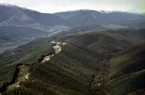
Understand the key considerations for land owners when considering entering the ETS.
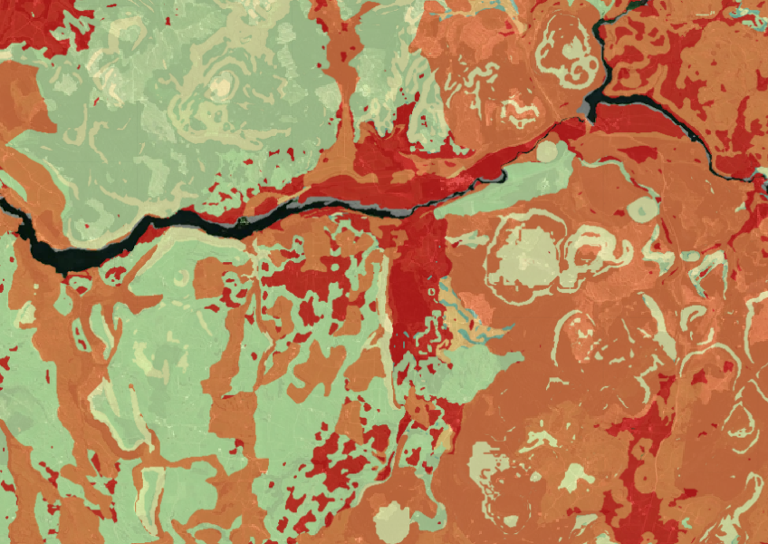
Map showing our remaining indigenous vegetation and its protection status..
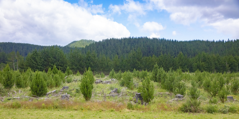
This paper discusses carbon farming on Māori land, its benefits, and decision-making challenges.
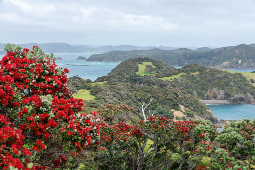
Explore projected temperature and rainfall changes for Aotearoa online.
Factsheets about farm greenhouse gas emissions, feeds, methane control, soil carbon, and more.
Discover how low-emissions farming could shape the future of sheep, beef, and dairy in Aotearoa.
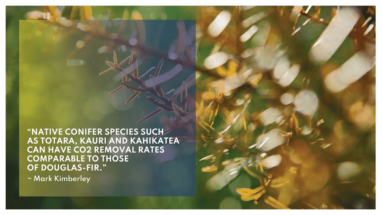
Find out about carbon sequestration rates in native forests and planting methods in New Zealand.
Check the E. coli runoff risk score for land in your rohe or catchment.
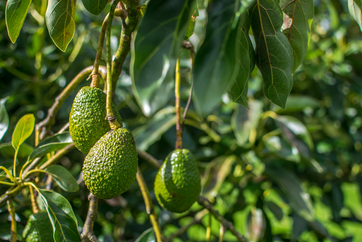
Find out how well suited the whenua in your rohe is to growing avocados.
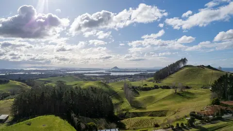
How and why land use in Aotearoa has to change.
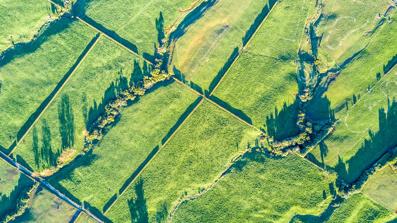
Read about the impacts different Aotearoa land use change scenarios might have on cliamte and socio-economic outcomes.
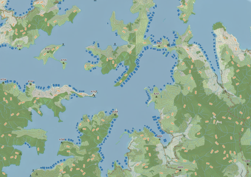
This map shows areas in Aotearoa that are used for aquatic farming.
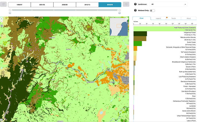
Explore how land cover has changed in Aotearoa over the past 25 years.
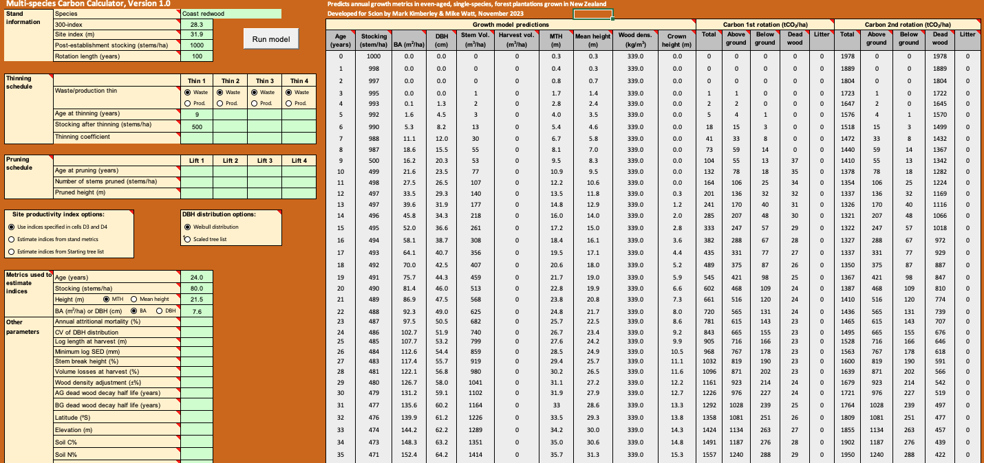
Calculate forest growth and carbon for New Zealand tree species using data about your whenua.

Explore sea-level rise projections for New Zealand’s coasts, with local impacts and maps available.

Explore coastal flood maps to assess the potential impacts of sea-level rise in your rohe.
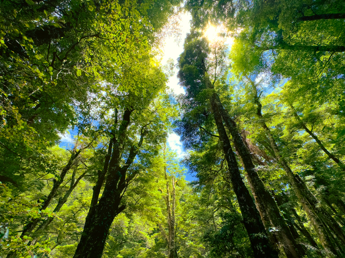
Learn how well-managed native forests can absorb significant amounts of carbon.
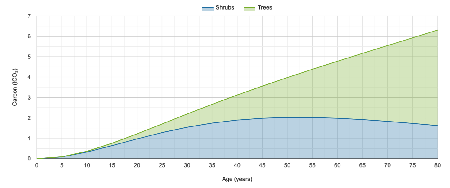
Calculate carbon storage in native forests and find planting needs to offset your footprint.