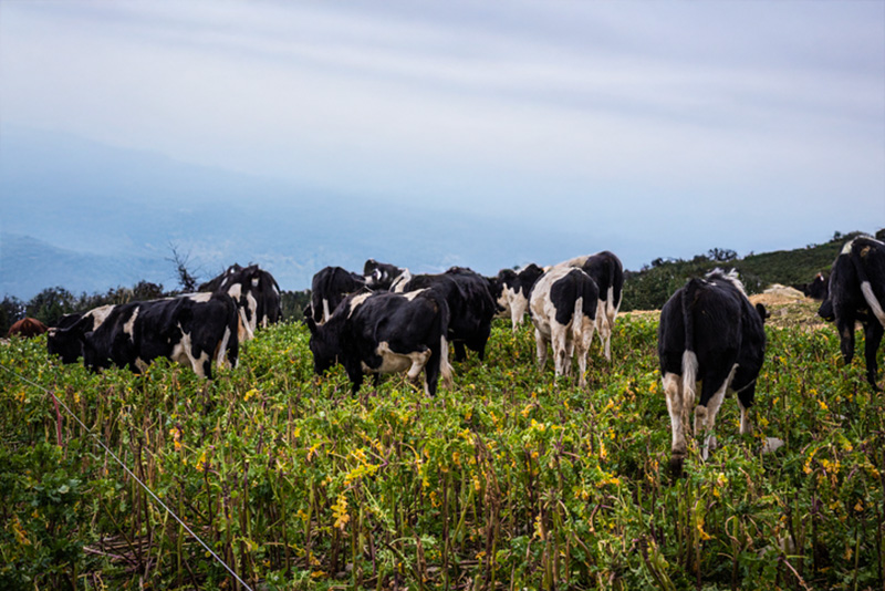
Intensive winter grazing in the Wellington Region
Whenua
Livestock
Policy
Sustainability
Water
Learn about intensive winter grazing rules and best practices for farms in the Wellington Region.
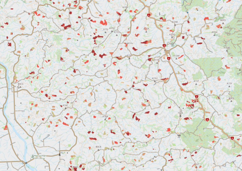
This dataset maps areas in hilly terrain where winter foraging took place in 2018. It shows where crops were grown for winter grazing and how much bare ground was left after the animals grazed.
Data sourced from Ministry for the Environment and licensed under CC BY 4.0.
Learn about intensive winter grazing rules and best practices for farms in the Wellington Region.
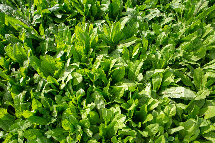
This guide explains effective forage cropping management for livestock.
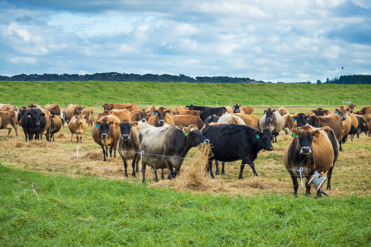
This guide can help you minimise the impact of intensive winter grazing on water quality and animal welfare.
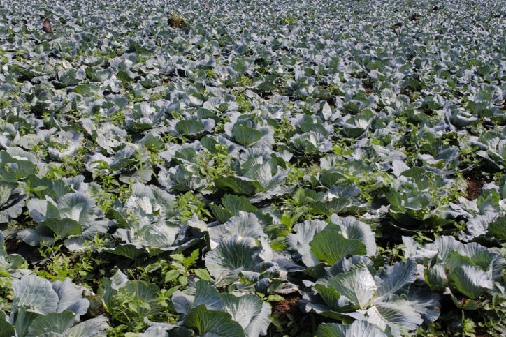
Learn about winter crop methods to improve soil and animal welfare in Southland farming.
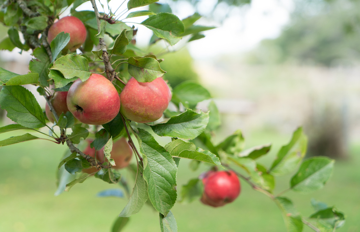
See how well suited the whenua in your rohe is to growing apples.
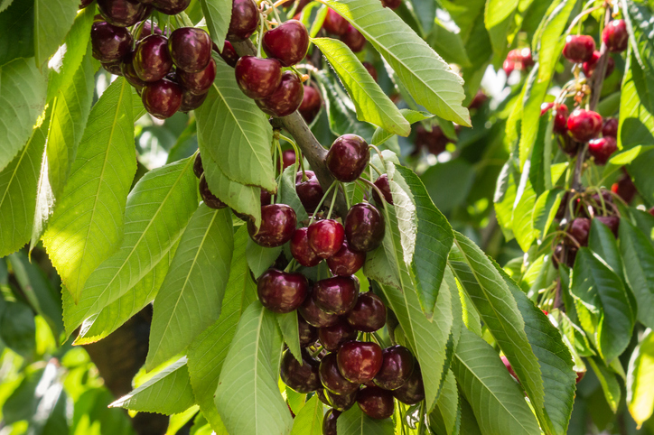
Explore how well suited the whenua in your rohe is to growing cherries.
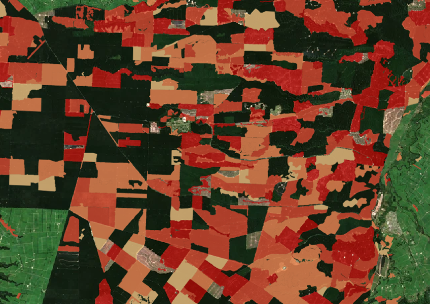
See the extent of forested land cleared between 2008 and 2020 shaded by year.

LUCAS is a national dataset that tracks carbon sequestration and land use change over time.

See land cover in Aotearoa and how it has changed over time.
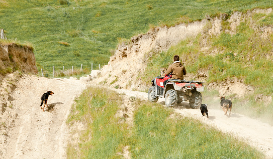
A comprehensive dataset of Aotearoa farm financial, production, and environmental data for research use.
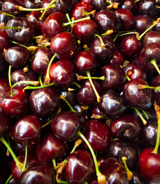
Explore how well cherries could grow in your rohe by 2050 as the climate changes.
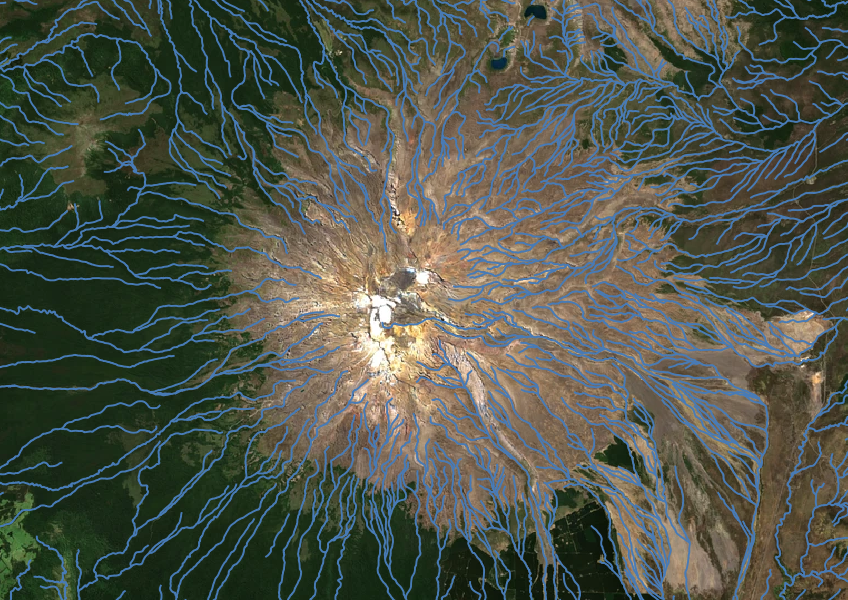
Download a dataset of named and unnamed river lines data for use in your analysis.
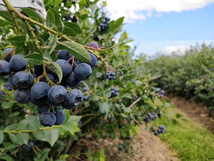
Discover how well suited the whenua in your rohe is to growing blueberries.
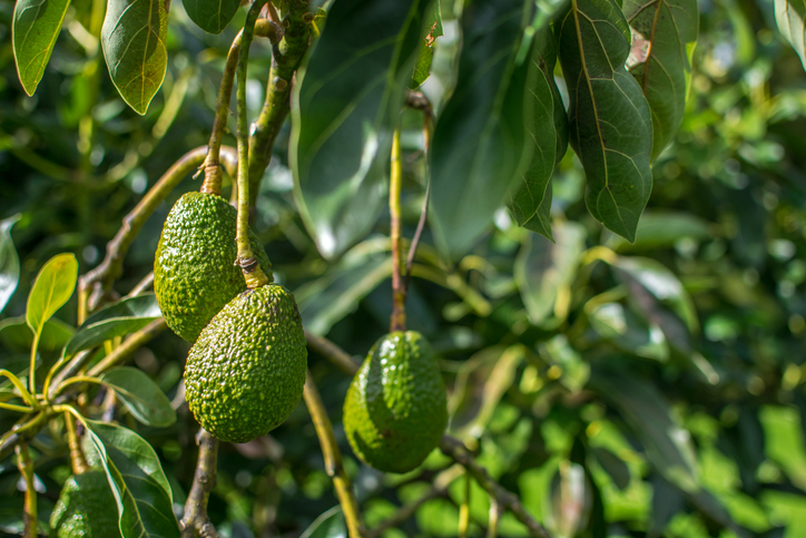
Find out how well suited the whenua in your rohe is to growing avocados.
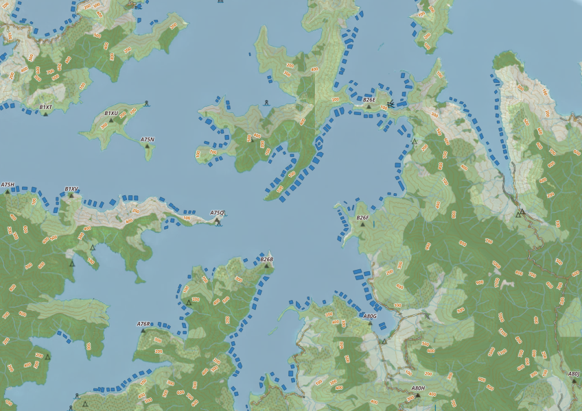
This map shows areas in Aotearoa that are used for aquatic farming.
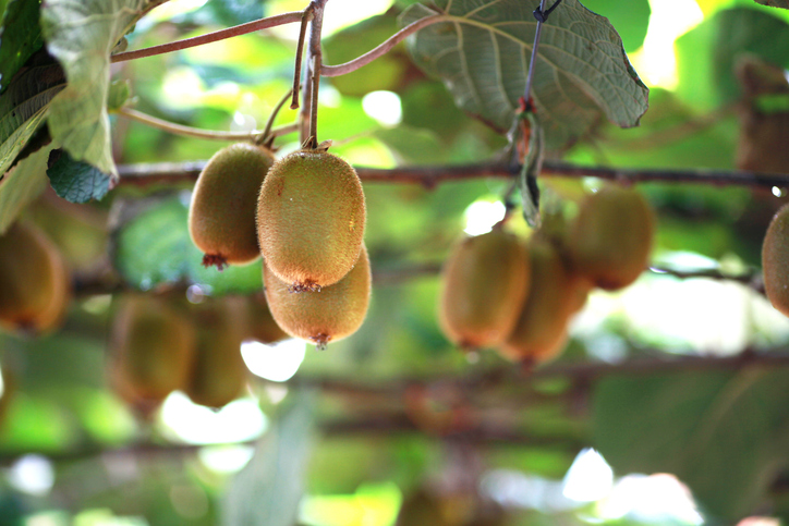
Learn how well suited the whenua in your rohe is to growing kiwifruit.
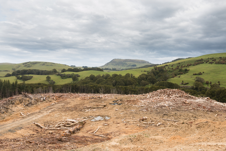
See statistics about deforestation for each local council area.
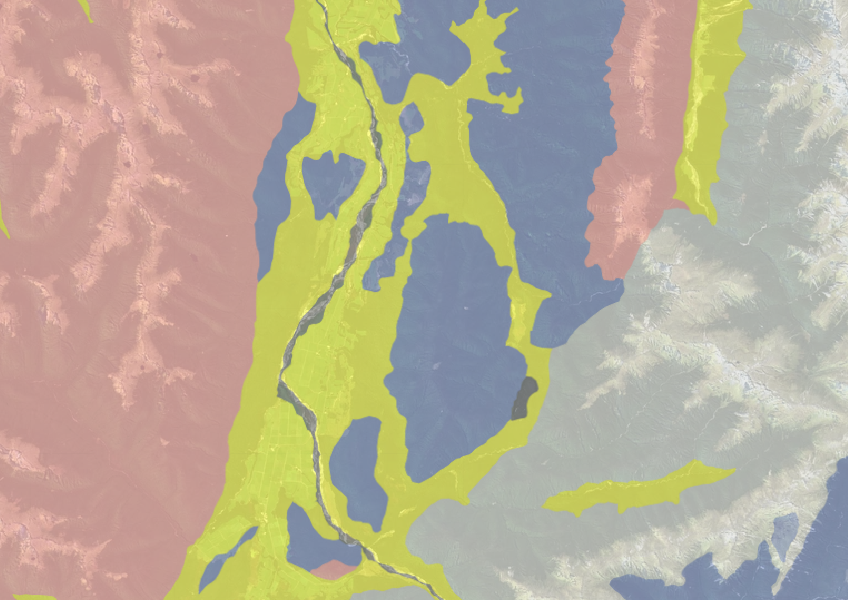
Use the NZLRI rock dataset to understand what type of rock is under your whenua.
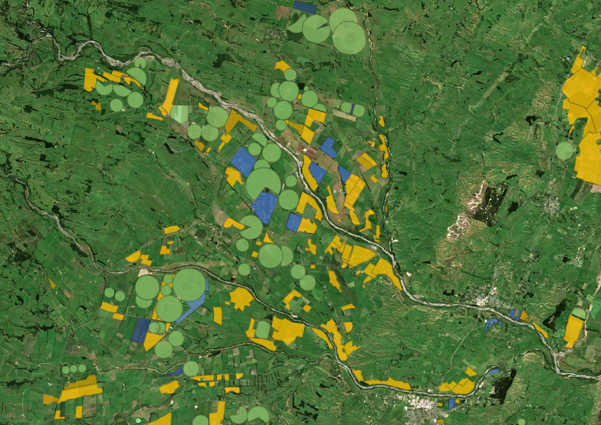

This map shows erosion types and estimated severity across Aotearoa.
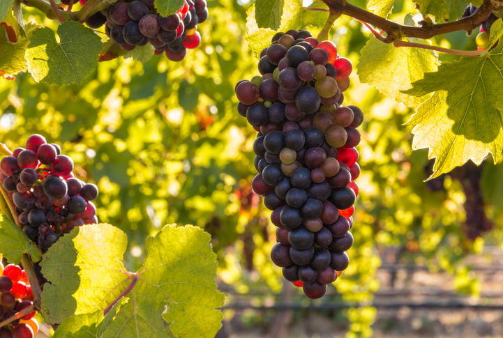
Check how well suited the whenua in your rohe is to growing Pinot noir grapes.
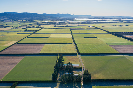
See how much pasture your land could grow under different irrigation choices.
This report explores future options to reduce agricultural greenhouse gas emissions in New Zealand.