
Extreme coastal flood maps for Aotearoa New Zealand
Climate
Adaptation
Community
Erosion
Flooding
Sustainability
Water
Explore coastal flood maps to assess the potential impacts of sea-level rise in your rohe.
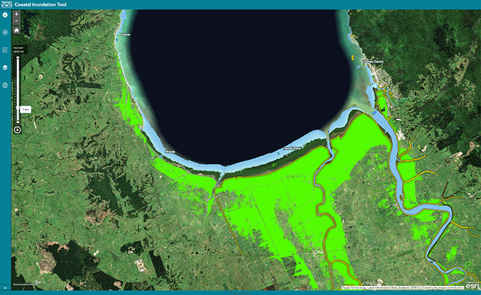
The Coastal Inundation Tool maps areas in the Waikato region that may be flooded by coastal waters due to tides or extreme weather in future.
The tool distinguishes between connected regions, which can flow directly to the sea, and isolated areas that may face flooding risks. It may help you assess flood risks and prepare for coastal hazards, providing a clearer understanding of your vulnerability to future environmental changes.
Explore coastal flood maps to assess the potential impacts of sea-level rise in your rohe.
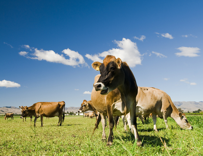
This research assesses dairy farming risks from coastal flooding and sea level rise in Aotearoa.

Explore sea-level rise projections for New Zealand’s coasts, with local impacts and maps available.
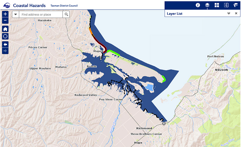
View sea-level rise and coastal erosion risks in Tasman Bay and Golden Bay.
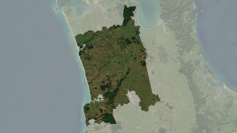
Understand climate event and variability trends for Waikato District.
Find out how sea level rise and extreme weather events like cyclones will worsen flooding in Aotearoa.
Learn about how climate change will impact Waikato and what communities can do.
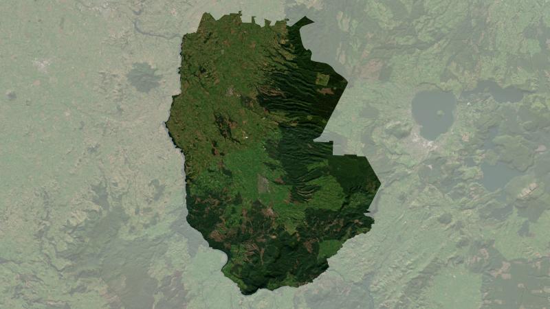
Understand climate event and variability trends for South Waikato District.
Te Tai Tokerau’s strategy tackles climate challenges with councils and Māori collaboration.
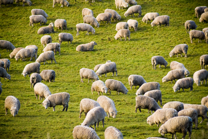
Compare your sheep and beef farm's performance with regional benchmarks.
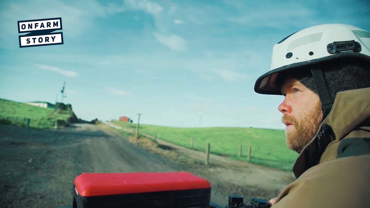
Learn how a young Northland dairy farming couple won Share Farmer of the Year.

Find out which plant species will grow best in different Waikato landscapes.
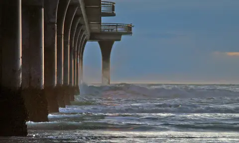
Research on adaptive tools for water infrastructure facing compounding coastal hazards.
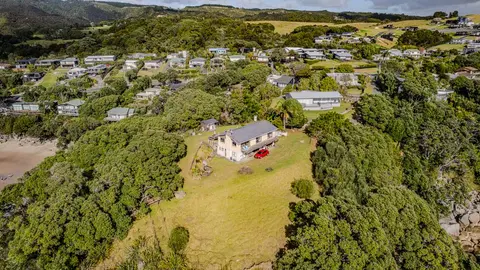
Check how coastal flooding, erosion and river flooding could affect your own property.
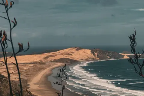
Learn how sea level rise, coastal erosion and river flooding are changing Northland.
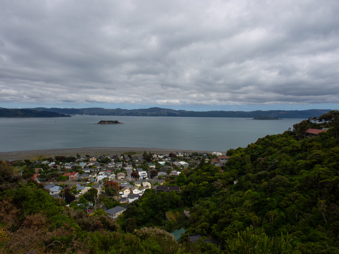
Explore Eastbourne's coastal changes, history, and sea level rise impacts.
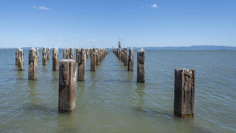
Explore Thames' unique history and the environmental challenges it faces due to sea level rise.
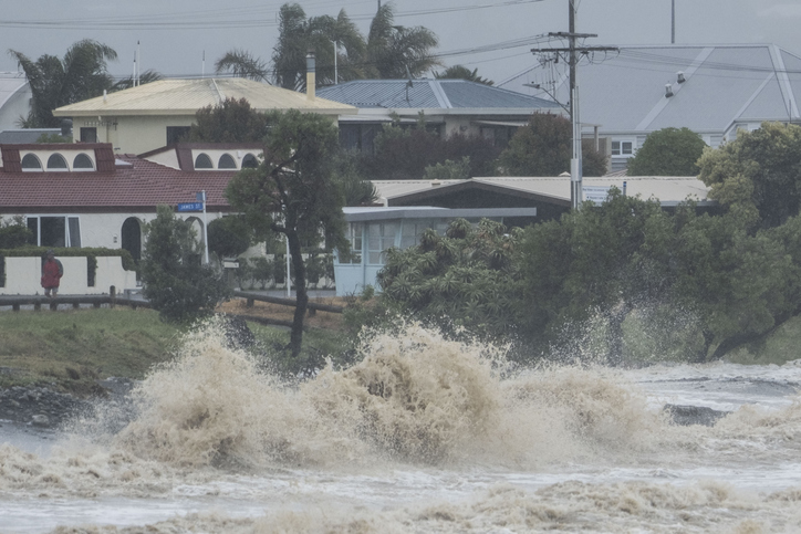
Explore interactive maps showing climate hazards for your hapori.
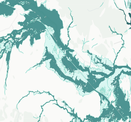
See river flood hazard zones near your Whangārei whenua
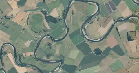
See flood risk maps for your region now and under future climate changes.
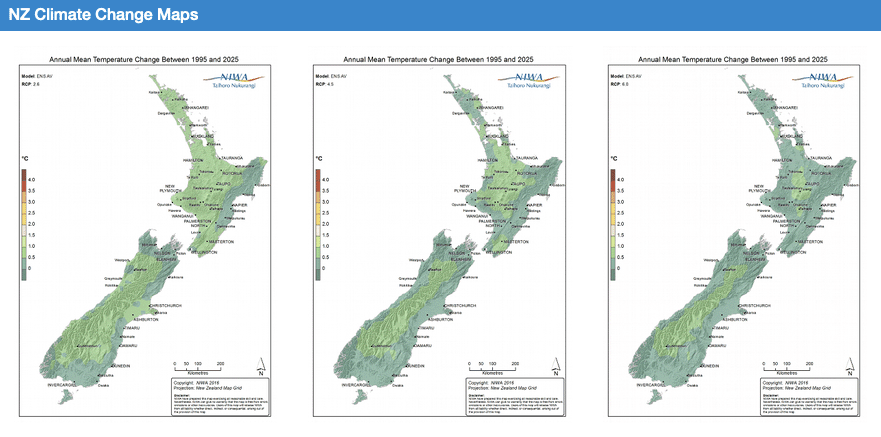
Explore how climate change will impact New Zealand's weather and environment over the coming century.
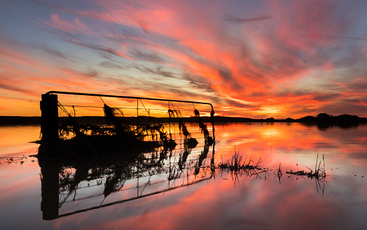
This report details climate change risks for New Zealand, focusing on key areas like coasts and freshwater.
An online game about adapting your coastal property as sea levels rise.