How to get information about Māori land
Whenua
Whenua Māori
Find out how to access information about Māori land and its ownership and governance.
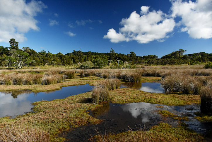
The Ngā Whenua Rāhui Open Data Portal offers access to map data about protected areas in Aotearoa. You can explore datasets, use maping tools, and download reports. It's a helpful tool for understanding conservation efforts and accessing valuable environmental information.
Find out how to access information about Māori land and its ownership and governance.
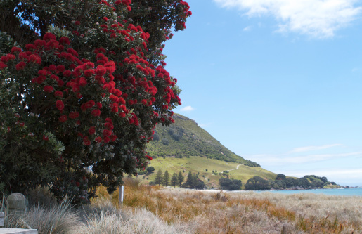
Ngā Whenua Rāhui Fund helps protect biodiversity on Māori land, upholding landowners' rights.
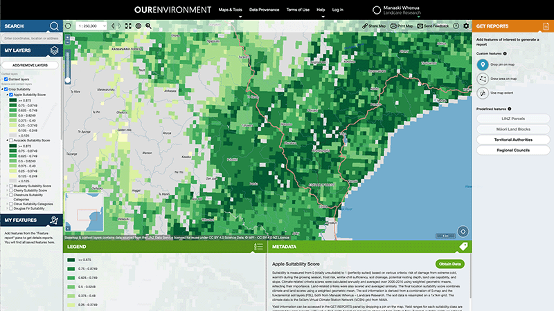
Explore New Zealand’s environment with interactive maps and data on various themes.
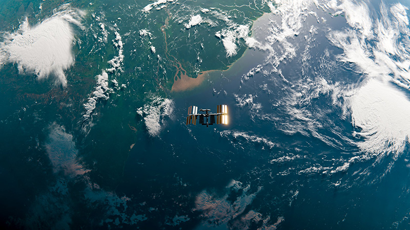
Eco-Index offers tools and data to boost biodiversity in New Zealand's native ecosystems.
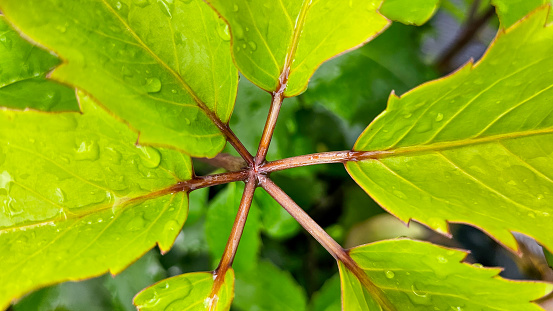
Discover traditional Māori uses of native plants, fungi and seaweed.
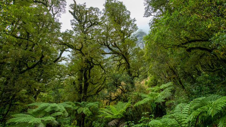
A comprehensive database archive of historical research about indigenous forests in Aotearoa.
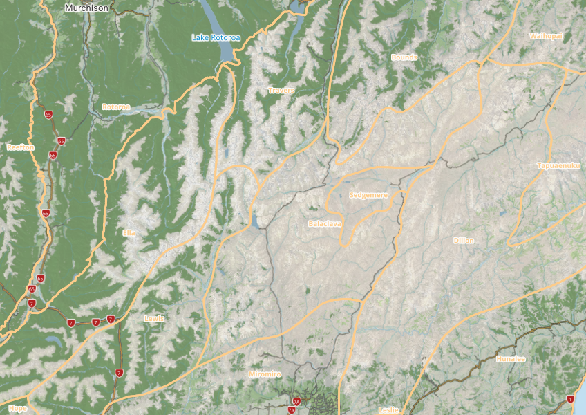
This map shows different areas of Aotearoa that have similar physical and biological characteristics.
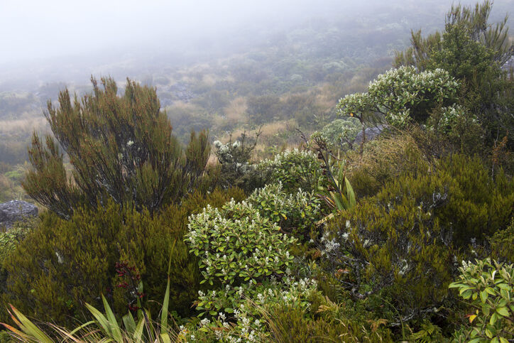
Learn about buying land protected by the QEII National Trust and its unique covenants.
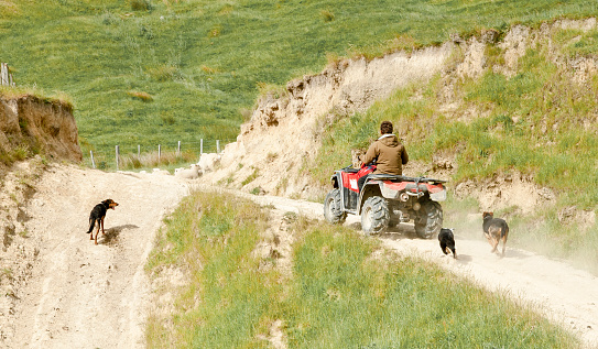
A comprehensive dataset of Aotearoa farm financial, production, and environmental data for research use.
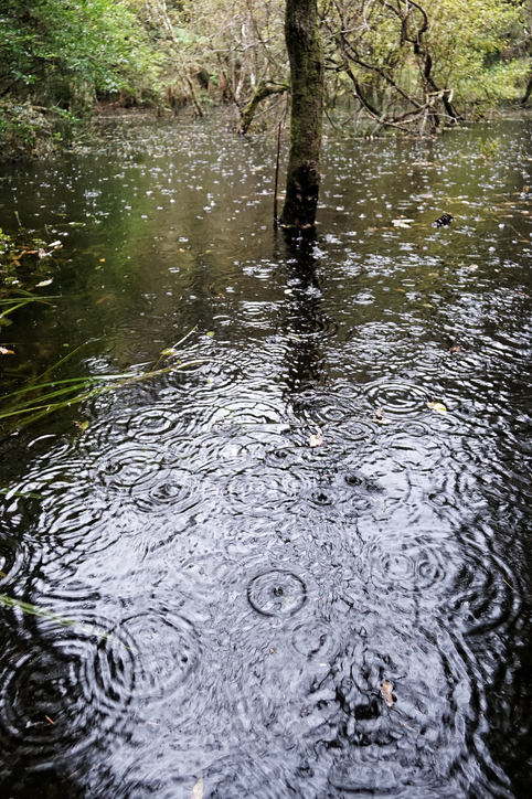
See how drought conditions and extreme rainfall in Aotearoa have changed as a result of climate change.
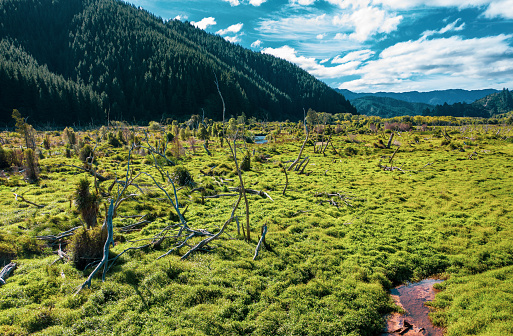
Search Māori land blocks, ownership records, and land status through the Māori Land Court.
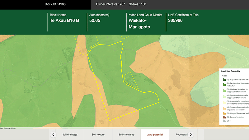
Explore different regulatory, soil, water, and land potential maps for your whenua.
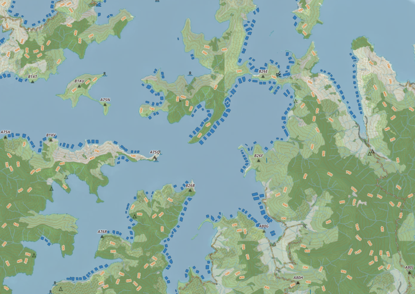
This map shows areas in Aotearoa that are used for aquatic farming.
Webinar on NZ land use classes and the new Land Resources Portal for maps, guides, and data.
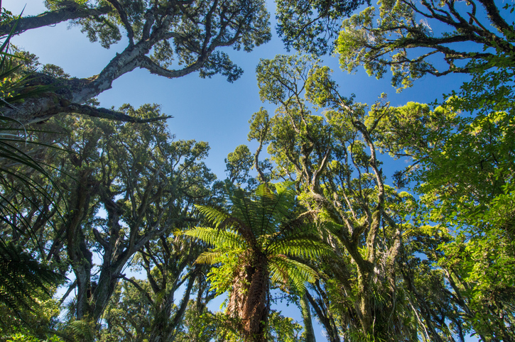
Explore New Zealand's forests, their history, importance, and management efforts.
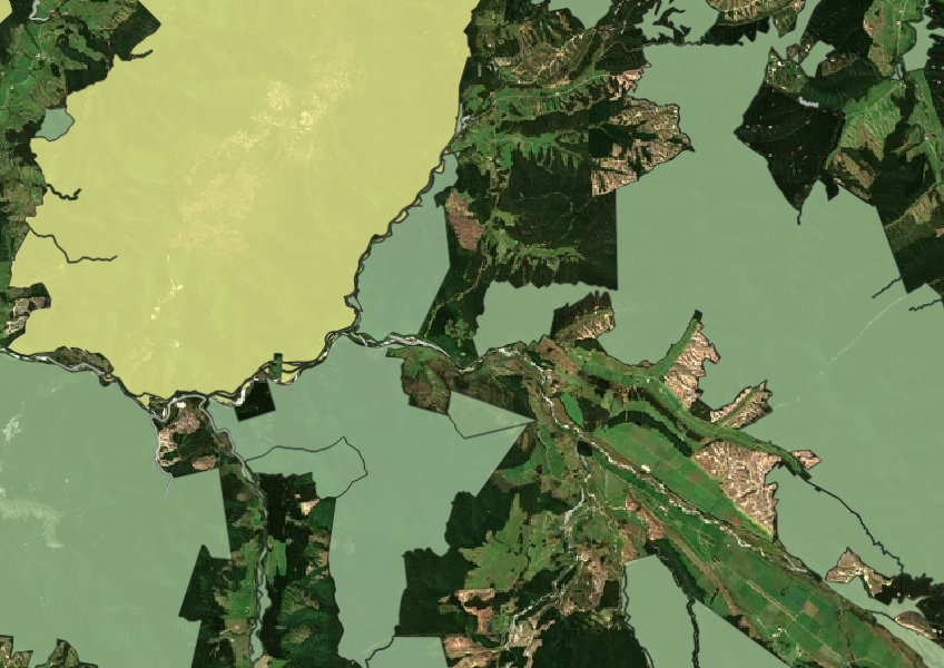
See all public conservation land in Aotearoa including national parks, reserves, and marine protected areas.
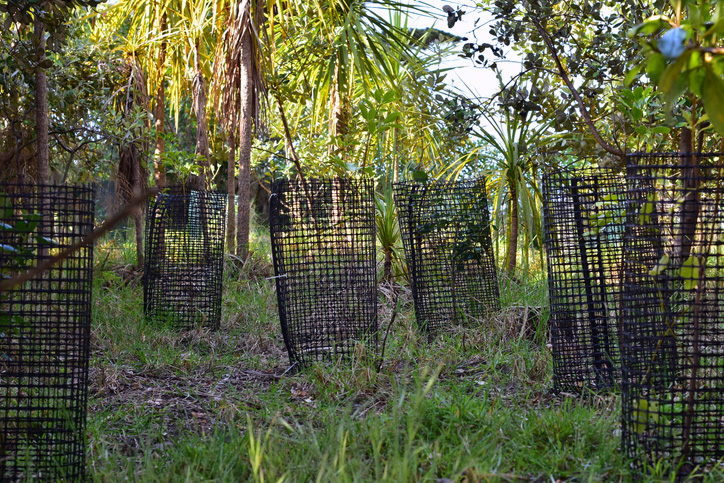
Learn how to protect trees from animals in Aotearoa.
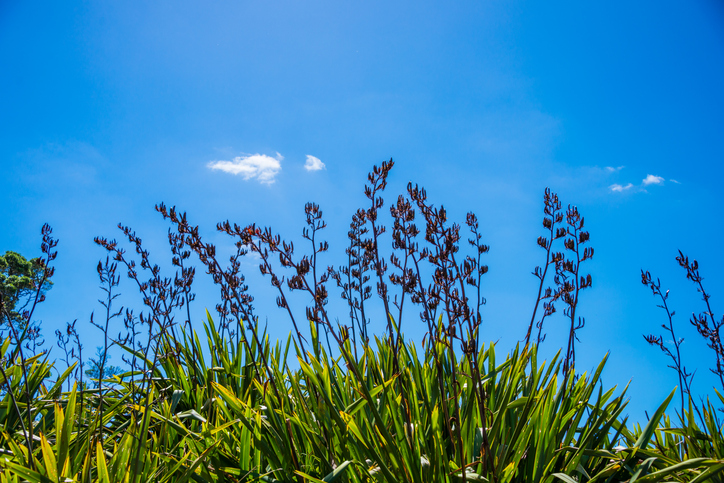
Explore traditional Māori uses for New Zealand plants, fungi, and seaweeds.

Explore coastal flood maps to assess the potential impacts of sea-level rise in your rohe.
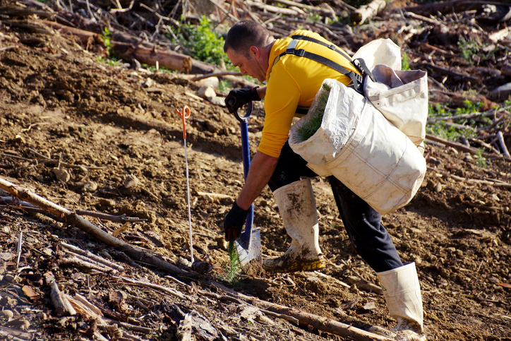
Get practical guidance for managing soil erosion.
Plantation Watch Lite offers satellite imagery for land changes in Aotearoa.