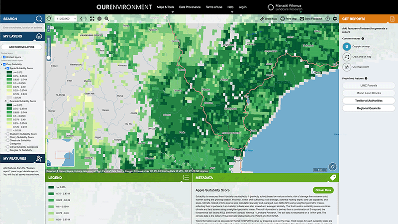
OurEnvironment NZ Land Atlas
Whenua
Biodiversity
Conservation
Forestry
Horticulture
Livestock
Planning
Soil
Sustainability
Whenua Māori
Explore New Zealand’s environment with interactive maps and data on various themes.
The Land Resources Portal is an online hub for land use capability (LUC) information. It explains how land is rated into eight classes based on factors such as soil depth, erosion risk and productive potential. You can explore LUC factors and guidelines, download regional bulletins and extended legends in PDF, and use direct links to interactive mapping tools to view or export data for your farm or property.
Explore New Zealand’s environment with interactive maps and data on various themes.

Explore how land use affects soil and water quality across New Zealand catchments.
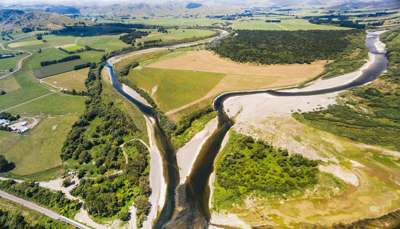
This report explores factors affecting land use change in New Zealand, targeting economic, social, and environmental aspects.
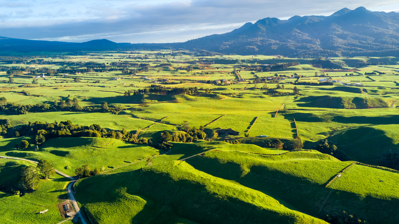
Explore key issues in New Zealand's land use change with expert insights and customizable data.
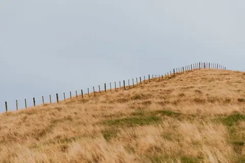
Discover how Owl Farm tests and protects its soil's physical, chemical and biological health.

This widely used map estimates the land's potential for agricultural production.

Explore sea-level rise projections for New Zealand’s coasts, with local impacts and maps available.
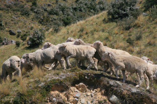
The ESC can determine whether you need resource consent to establish plantation forestry on your whenua.
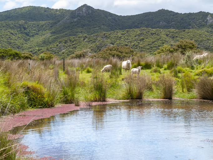
An online learning module that explains everything you need to know about stock water management.
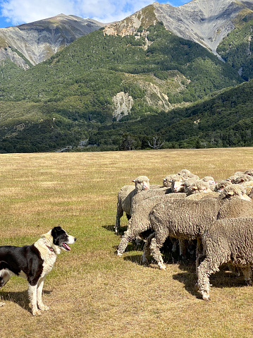
A model to study land use changes and their effects in rural New Zealand.

See land cover in Aotearoa and how it has changed over time.
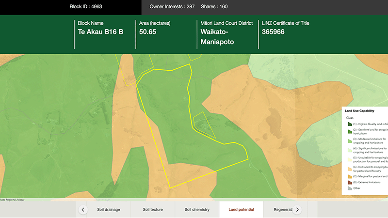
Explore different regulatory, soil, water, and land potential maps for your whenua.
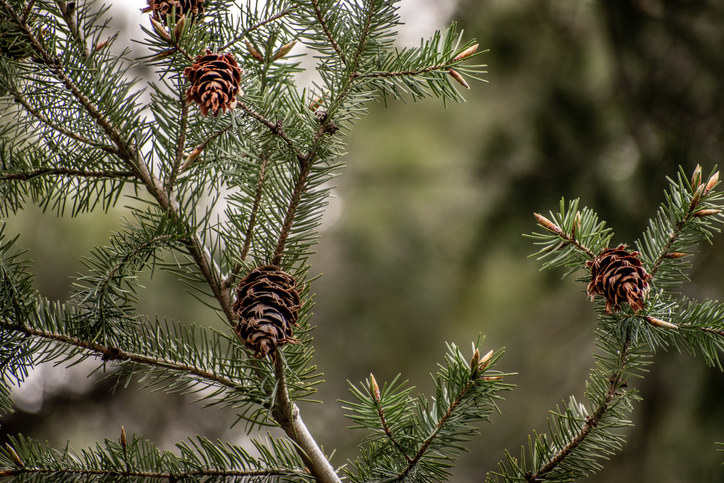
Check how suited your whenua is for planting Douglas fir as a forestry crop.
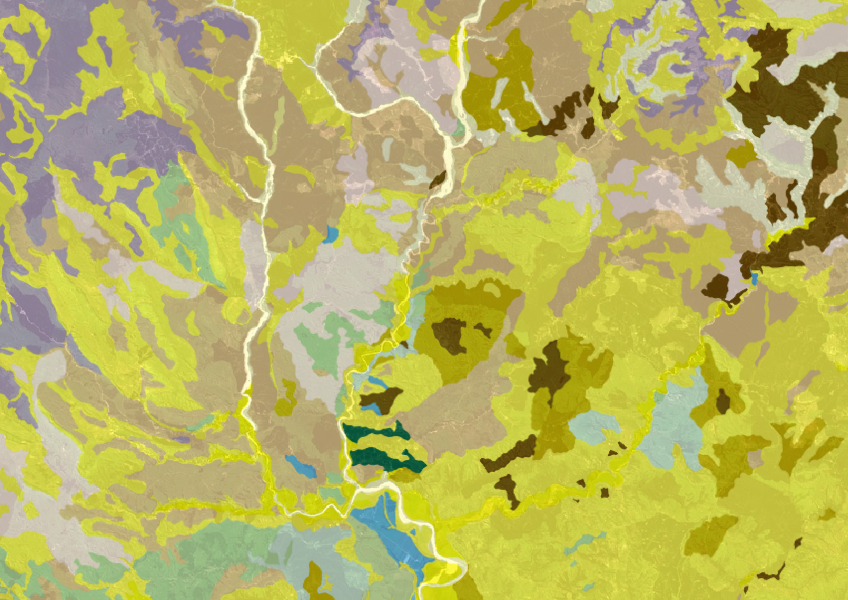
Get a better understanding of soil types on your whenua and across Aotearoa.
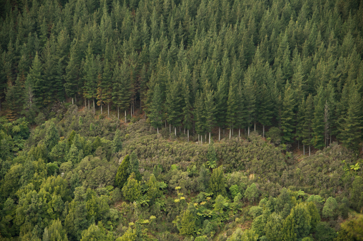
Explore how suited your whenua is for planting radiata pine as a forestry crop.
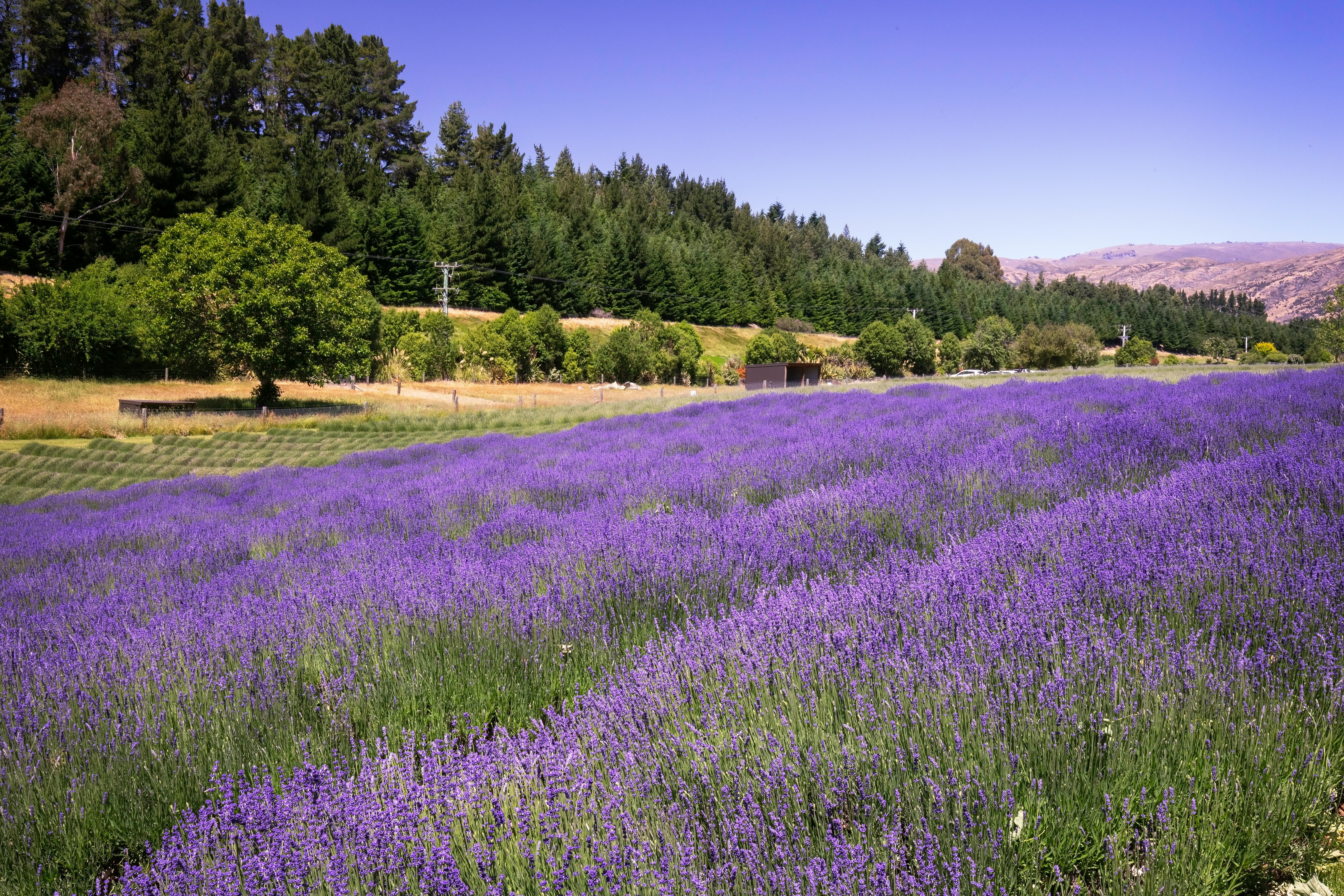
Understand how land use change can lower greenhouse gas emissions on farms.

LUCAS is a national dataset that tracks carbon sequestration and land use change over time.
Guidelines and resources for managing erosion and sediment in forestry in New Zealand.

This map shows erosion types and estimated severity across Aotearoa.
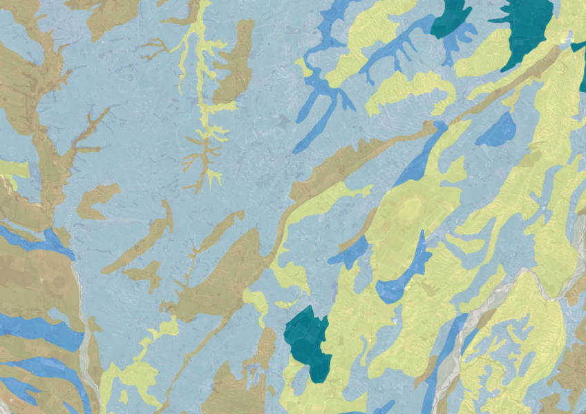
Explore soil drainage classes for land use and growth insights.
Explore and download spatial data related to Ngā Whenua Rāhui protected areas.
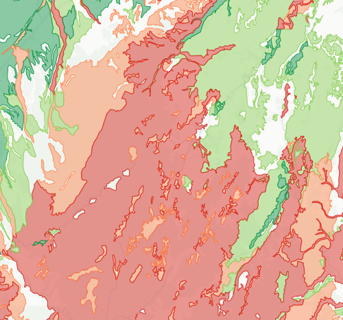
Check how likely nitrogen is to leach through your soil