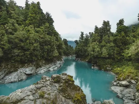
Historic South Island indigenous forest cover (1948-1955)
Whenua
Biodiversity
Conservation
Forestry
View historic indigenous forest cover in Te Wai Pounamu based on a range of different data and imagery.
The New Zealand Vegetation Survey Databank is an extensive archive of over 121,000 vegetation survey plot records, including 25,000 permanent plots. The survey records cover a broad range of habitats, especially indigenous forests and grasslands. The archive also includes surveys from Rakiura / Stewart Island, the Kermadec Islands, and Rekohu / Chatham islands.
The data has been collected over more than 70 years which can be useful for informing decision-making about ecological restoration efforts.
View historic indigenous forest cover in Te Wai Pounamu based on a range of different data and imagery.
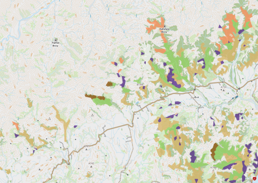
View indigenous forest cover in North Island, based on older aerial data from 1948-1955. North and South Island data has been combined into a national layer.
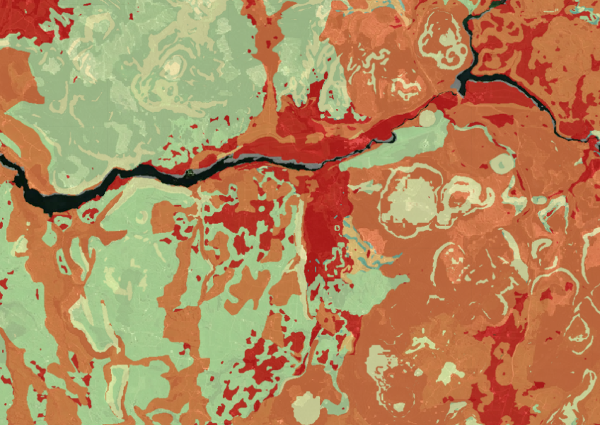
Map showing our remaining indigenous vegetation and its protection status..
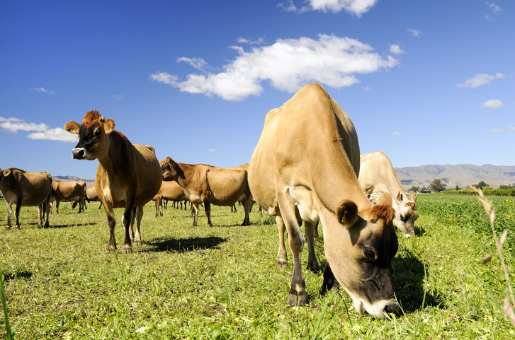
Rural survey data for understanding New Zealand's farming and planning needs.
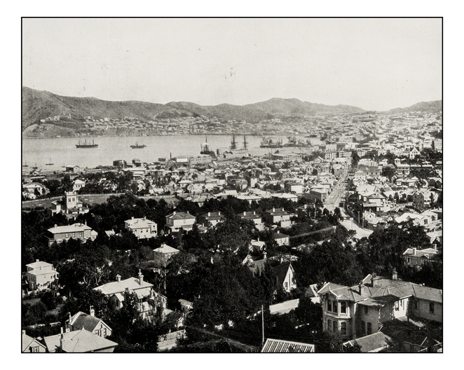
Retrolens is a fully searchable archive of aerial photos of Aotearoa from as far back as 1936.

See land cover in Aotearoa and how it has changed over time.
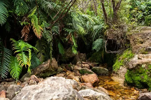
View historic indigenous forest cover in Te Ika a Māui based on a range of different data and imagery.
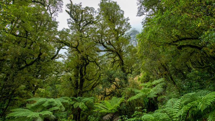
A comprehensive database archive of historical research about indigenous forests in Aotearoa.
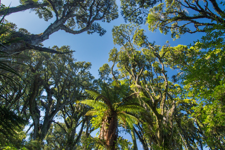
Explore New Zealand's forests, their history, importance, and management efforts.
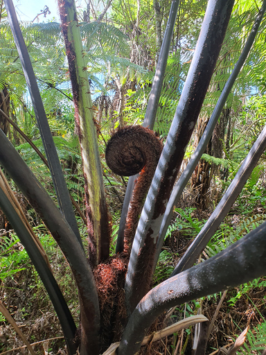
The IFPD is a National database recording growth and management of New Zealand’s planted indigenous forests.
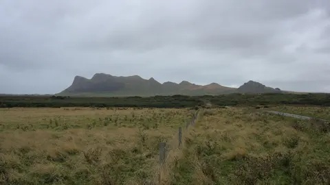
Explore the windy, cloudy and fast-changing climate of Rēkohu Chatham Islands.
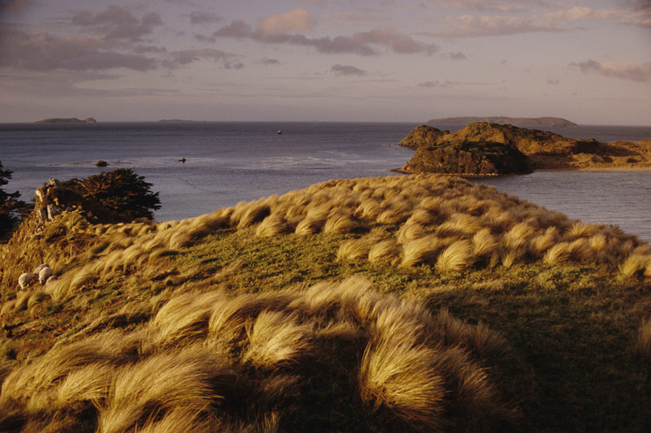
A Moriori-led journey to revive land and culture on the Chatham Islands.
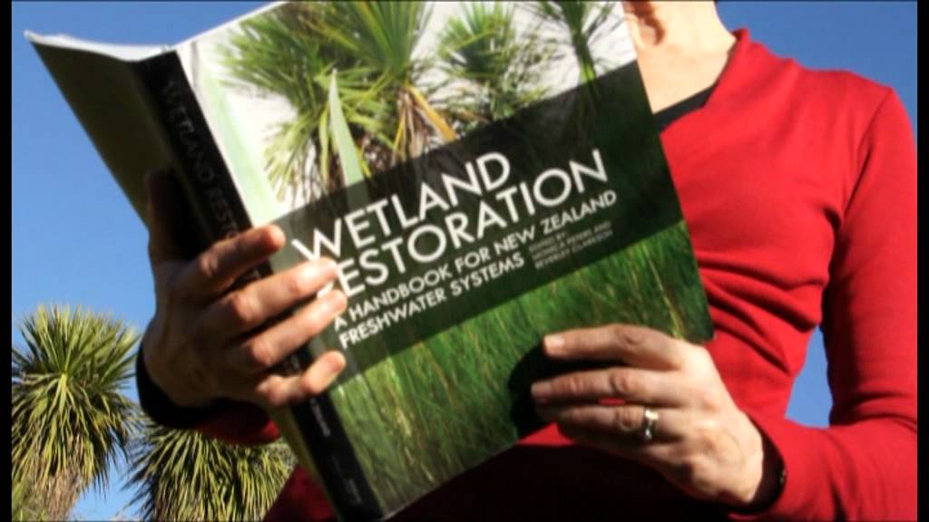
A guide to restoring New Zealand's freshwater wetlands with practical tips and beautiful images.
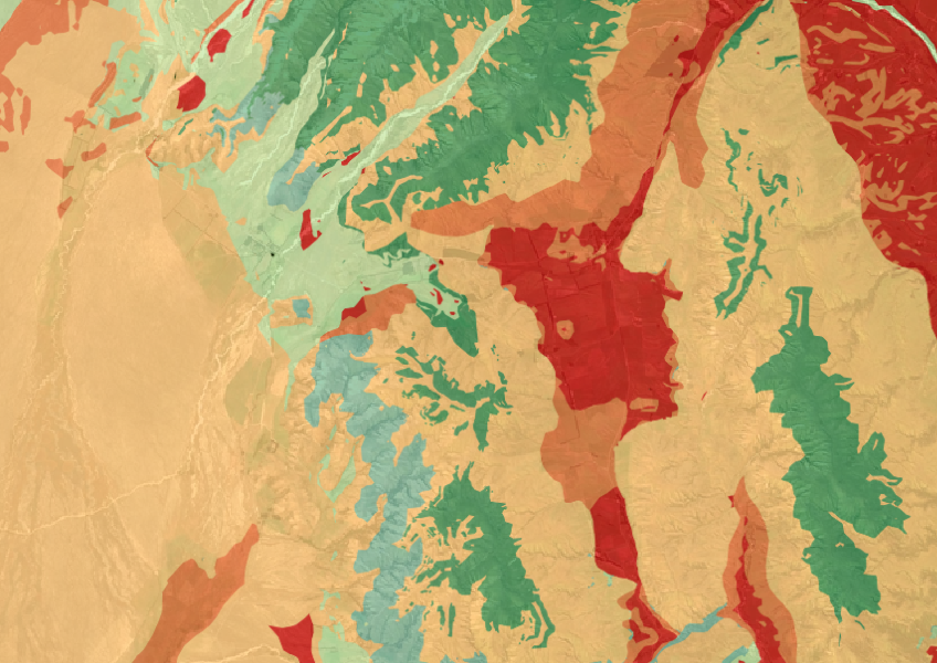
The Threatened Environments Classification can help you better understand the health of your local ecosystems.
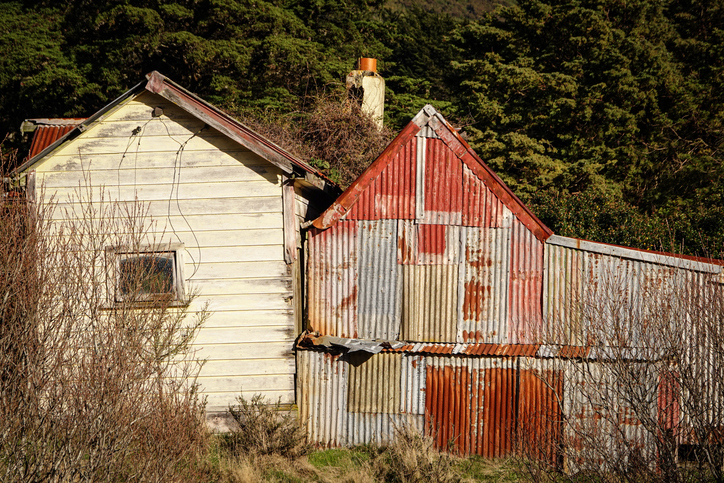
A searchable archive of photos, documents, and videos from New Zealand's pastoral research history.
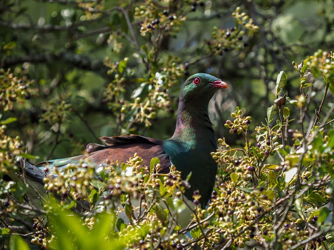
Learn about the Chatham Islands Landscape Restoration Trust's plan to restore Rēkohu/Wharekauri and Rangihauta/Pitt.
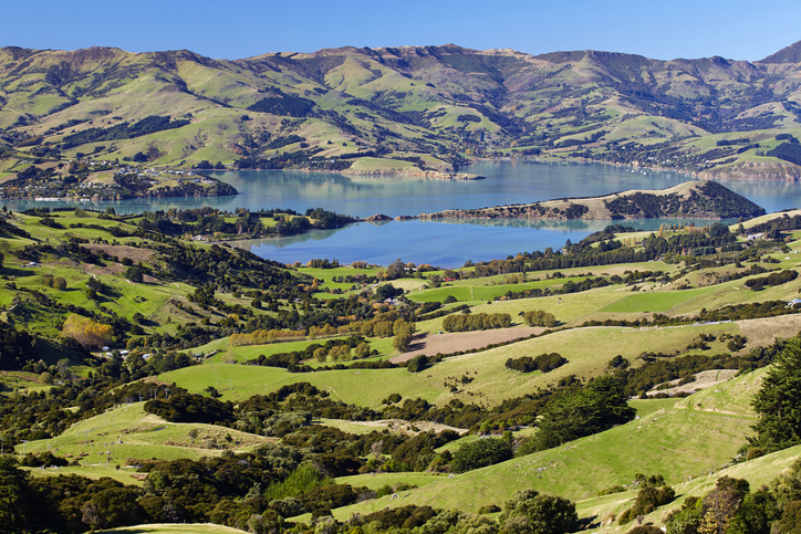
Te Kākahu Kahukura is a community-led project focused on restoring native forests on Banks Peninsula.
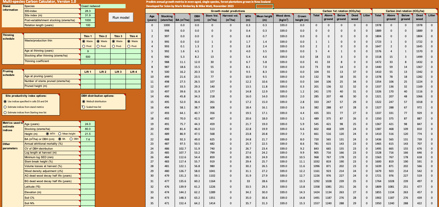
Calculate forest growth and carbon for New Zealand tree species using data about your whenua.
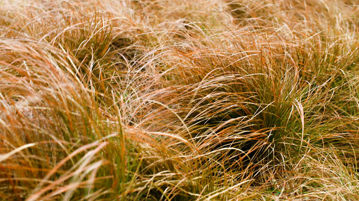
An interactive key to identify different Aotearoa grass species.
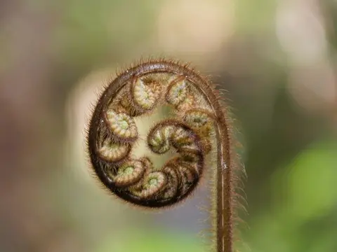
See how seed islands of native trees fared on hill country near Gisborne.
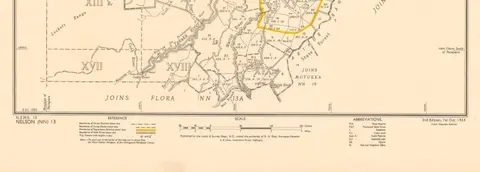
Get guidance about how to search for and request official copies of Māori land records.
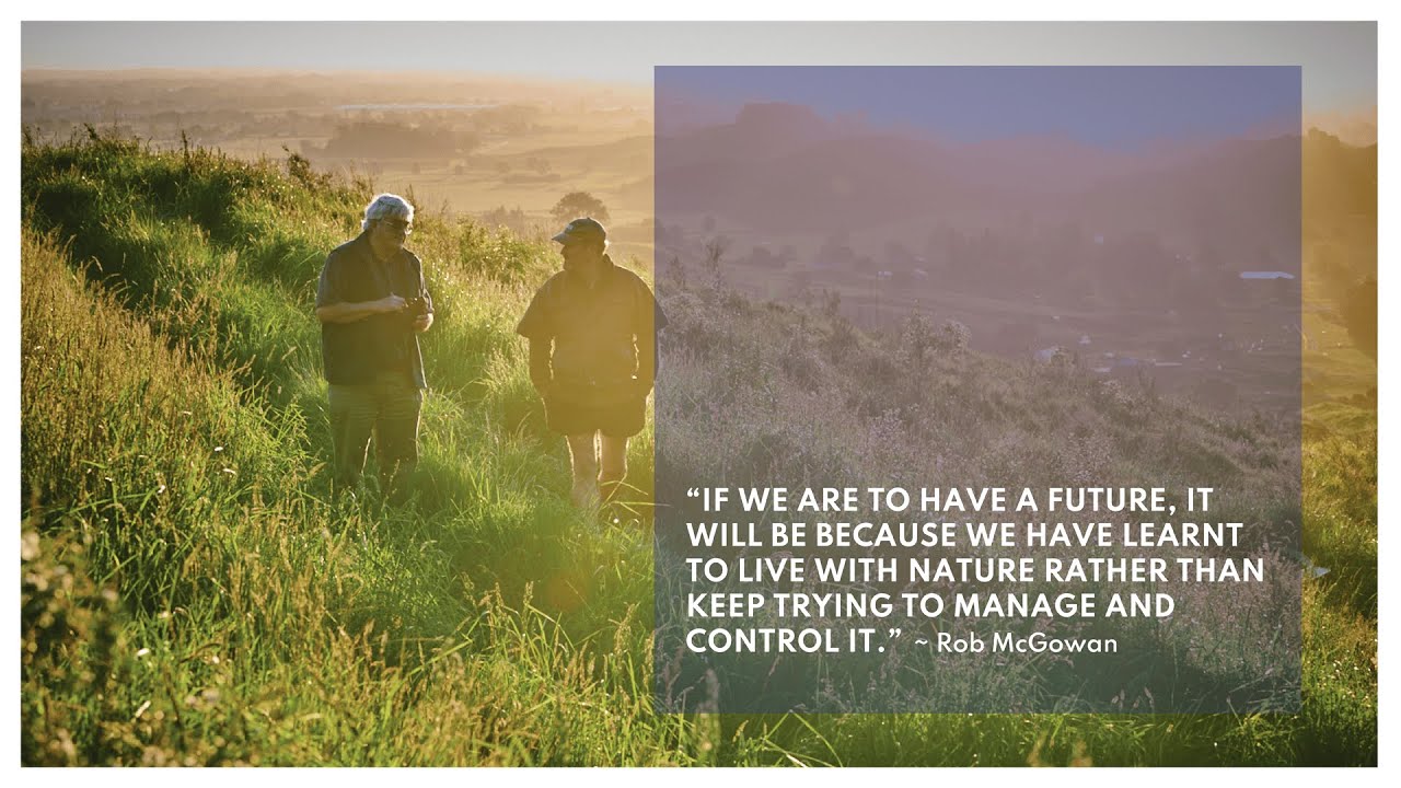
Rob McGowan talks about the importance of restoring native forests in Aotearoa to face climate change.
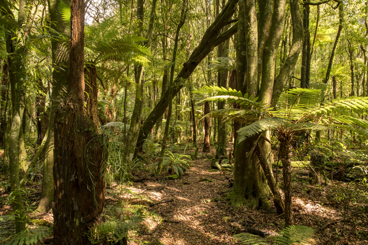
This innovative seed-island project is helping to speed up native forest restoration.