
Land Use and Carbon Analysis System (LUCAS) Land Use Map
Whenua
Emissions reduction
Forestry
Policy
Sequestration
Sustainability
LUCAS is a national dataset that tracks carbon sequestration and land use change over time.

The New Zealand Land Cover Database shows different types of land cover across the mainland and the Chatham Islands. It includes 33 classes of land including forests, grasslands, and wetlands.
The database has been created and maintained over many years by Manaaki Whenua using satellite images to create detailed maps that help track changes over time.
You can use this information for environmental monitoring, understanding biodiversity, and planning infrastructure. It is especially helpful for managing land sustainably and assessing the health of natural resources. The database also includes tools to monitor wetlands and coastal changes.
Licensed under Creative Commons Attribution 4.0 International.
LUCAS is a national dataset that tracks carbon sequestration and land use change over time.
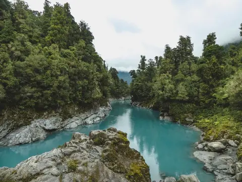
View historic indigenous forest cover in Te Wai Pounamu based on a range of different data and imagery.
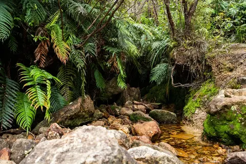
View historic indigenous forest cover in Te Ika a Māui based on a range of different data and imagery.

This map shows erosion types and estimated severity across Aotearoa.
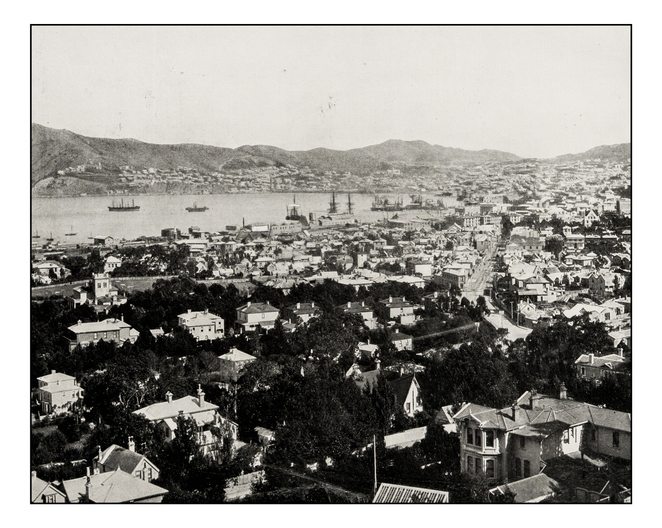
Retrolens is a fully searchable archive of aerial photos of Aotearoa from as far back as 1936.
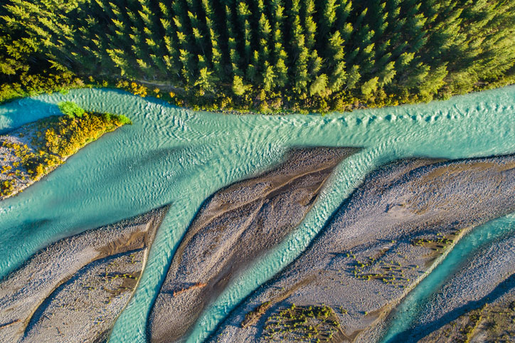
This add-in for Google Earth can help you track short-term land changes using satellite imagery and public datasets.
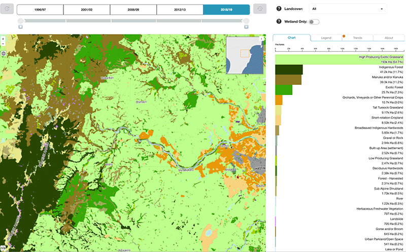
Explore how land cover has changed in Aotearoa over the past 25 years.
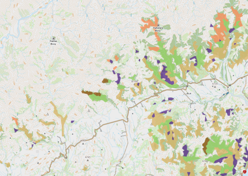
View indigenous forest cover in North Island, based on older aerial data from 1948-1955. North and South Island data has been combined into a national layer.
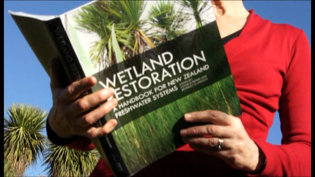
A guide to restoring New Zealand's freshwater wetlands with practical tips and beautiful images.
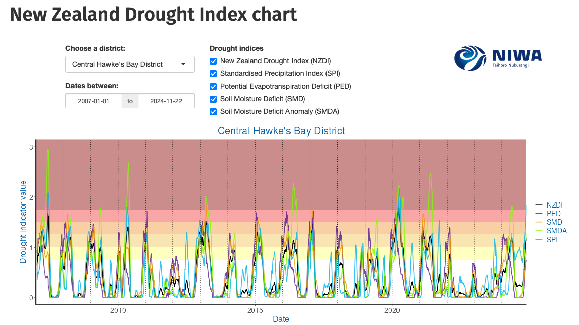
Monitor drought in New Zealand using key indicators and climate data. Access maps and downloads.
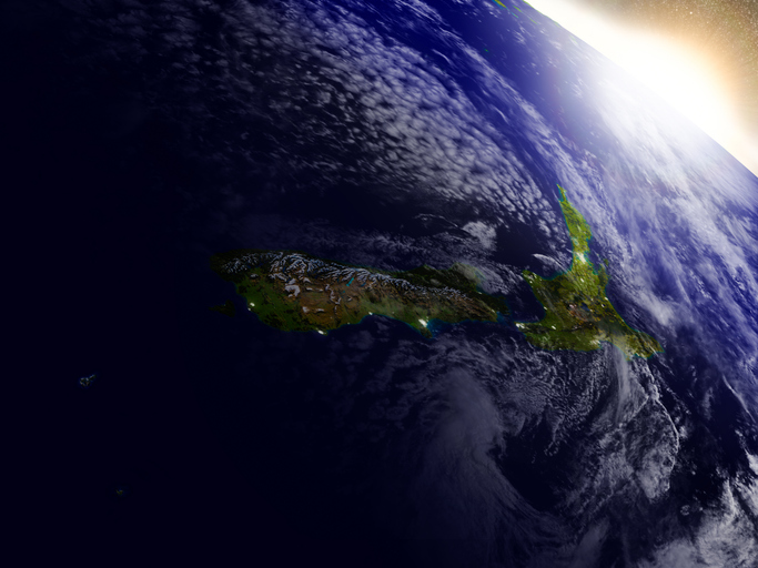
This resource discusses how satellite data can improve New Zealand's food and fibre sector.
New Zealand's vegetation survey data spans over 70 years and includes 121,000 plot records.
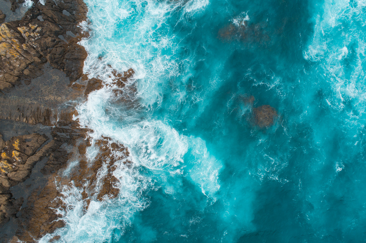
This add-in for Google Earth can help you analyse coastal changes using satellite imagery and public datasets.

This widely used map estimates the land's potential for agricultural production.
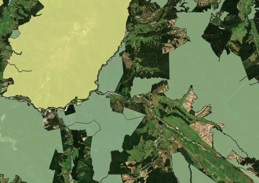
See all public conservation land in Aotearoa including national parks, reserves, and marine protected areas.
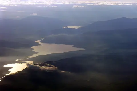
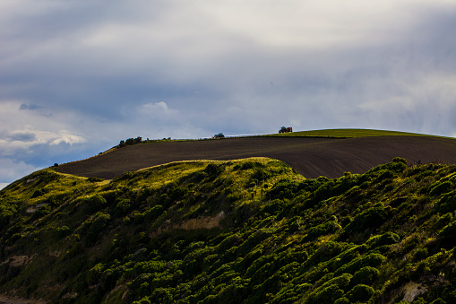
AgriBase maps NZ farms, offering data on type, size, and history for land use planning and research.
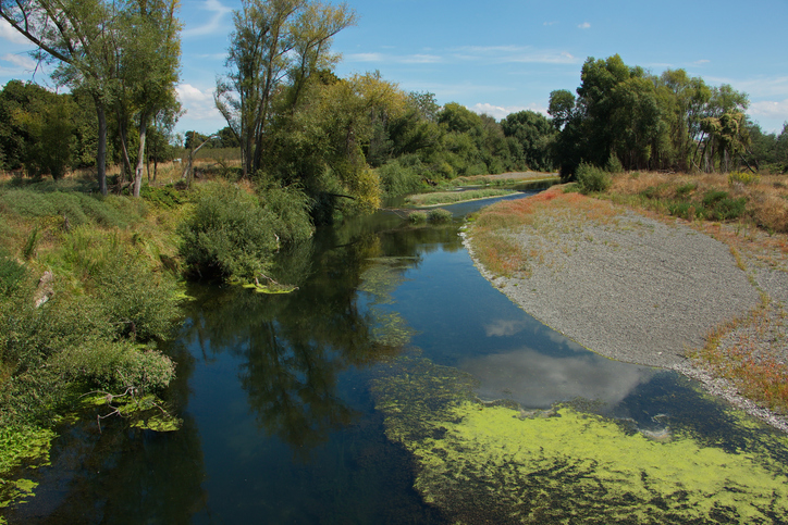
Learn how to protect waterbodies and wetlands for healthier whenua.
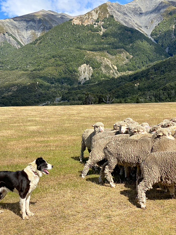
A model to study land use changes and their effects in rural New Zealand.
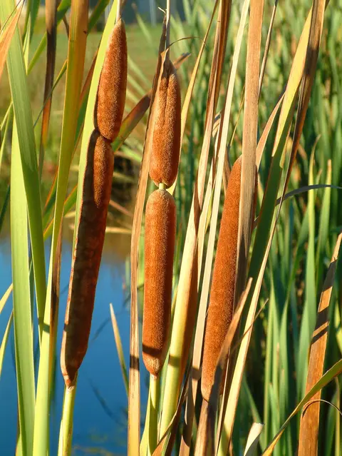
An interactive key to identify different wetlands that can be found in Aotearoa.
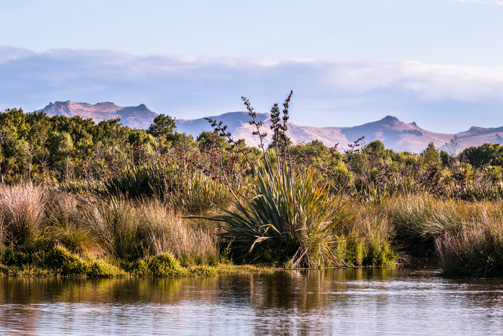
This add-in for Google Earth can help you identify wetlands using satellite imagery and public datasets.
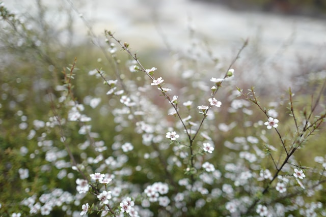
Find out which plant species will grow best in different Waikato landscapes.
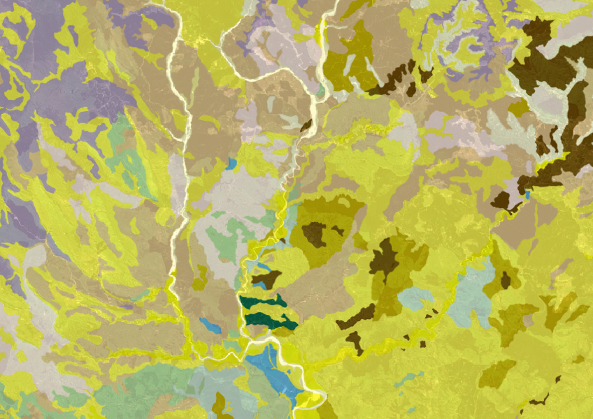
Get a better understanding of soil types on your whenua and across Aotearoa.