
New Zealand Land Cover Database
Whenua
Arable crops
Farm environment plan
Forestry
Horticulture
Planning
See land cover in Aotearoa and how it has changed over time.
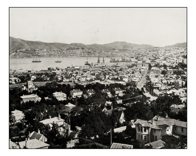
Retrolens is a collection of aerial photographs taken from 1936 to 2005, capturing the changing landscape. With over 500,000 images, it shows how land use, vegetation, and coastlines have evolved over time.
The images are available for use under a Creative Commons license, which means you can share and use them as long as you give proper credit.
See land cover in Aotearoa and how it has changed over time.
New Zealand's vegetation survey data spans over 70 years and includes 121,000 plot records.

Explore sea-level rise projections for New Zealand’s coasts, with local impacts and maps available.
An interactive key to identify different Aotearoa grass species.
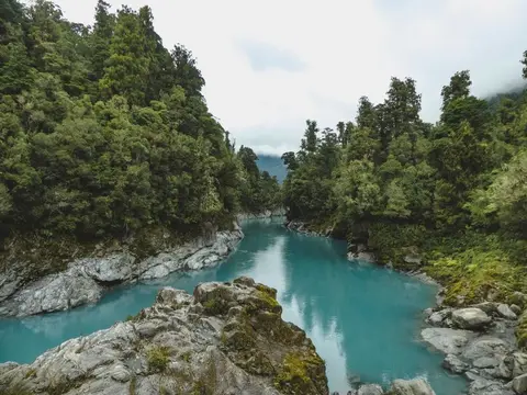
View historic indigenous forest cover in Te Wai Pounamu based on a range of different data and imagery.
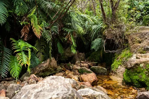
View historic indigenous forest cover in Te Ika a Māui based on a range of different data and imagery.
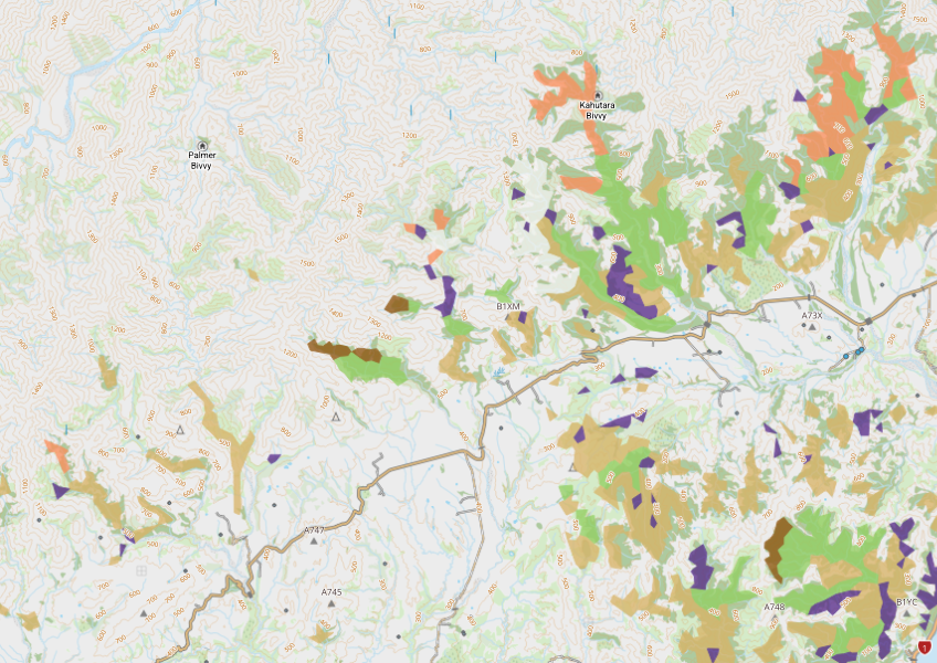
View indigenous forest cover in North Island, based on older aerial data from 1948-1955. North and South Island data has been combined into a national layer.

LUCAS is a national dataset that tracks carbon sequestration and land use change over time.
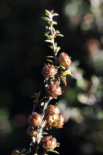
Plantation Watch Lite offers satellite imagery for land changes in Aotearoa.

This study examines technology use in our primary sector over the past 15 years.
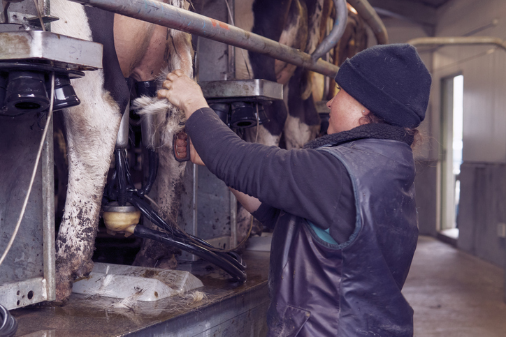
See what dairy farming earns, costs and pays in wages on land suited to it in your rohe.
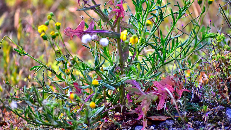
An interactive key to identify different weeds that can be found in Aotearoa.

This widely used map estimates the land's potential for agricultural production.
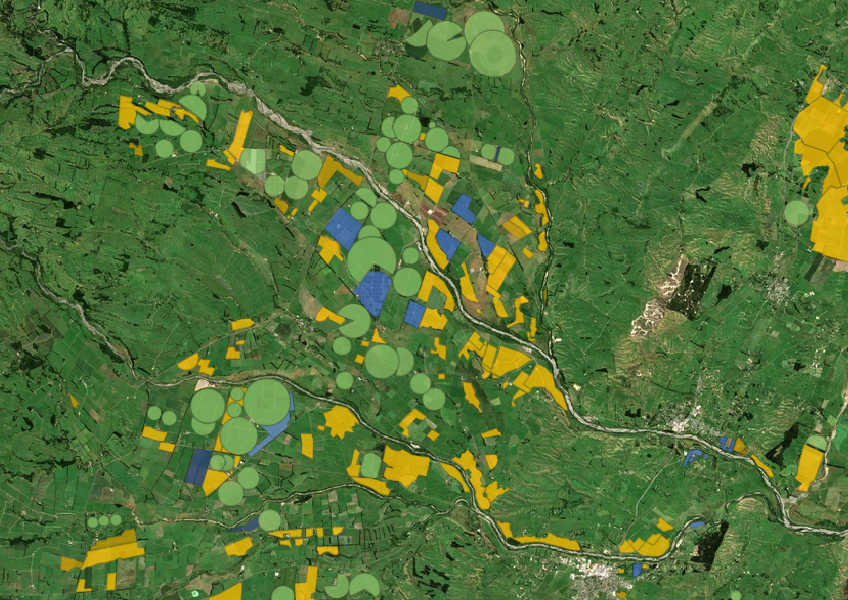
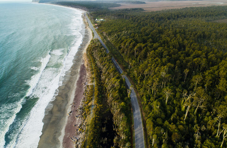
Access user-friendly maps and aerial photos for property and planning on the West Coast.
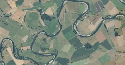
See flood risk maps for your region now and under future climate changes.
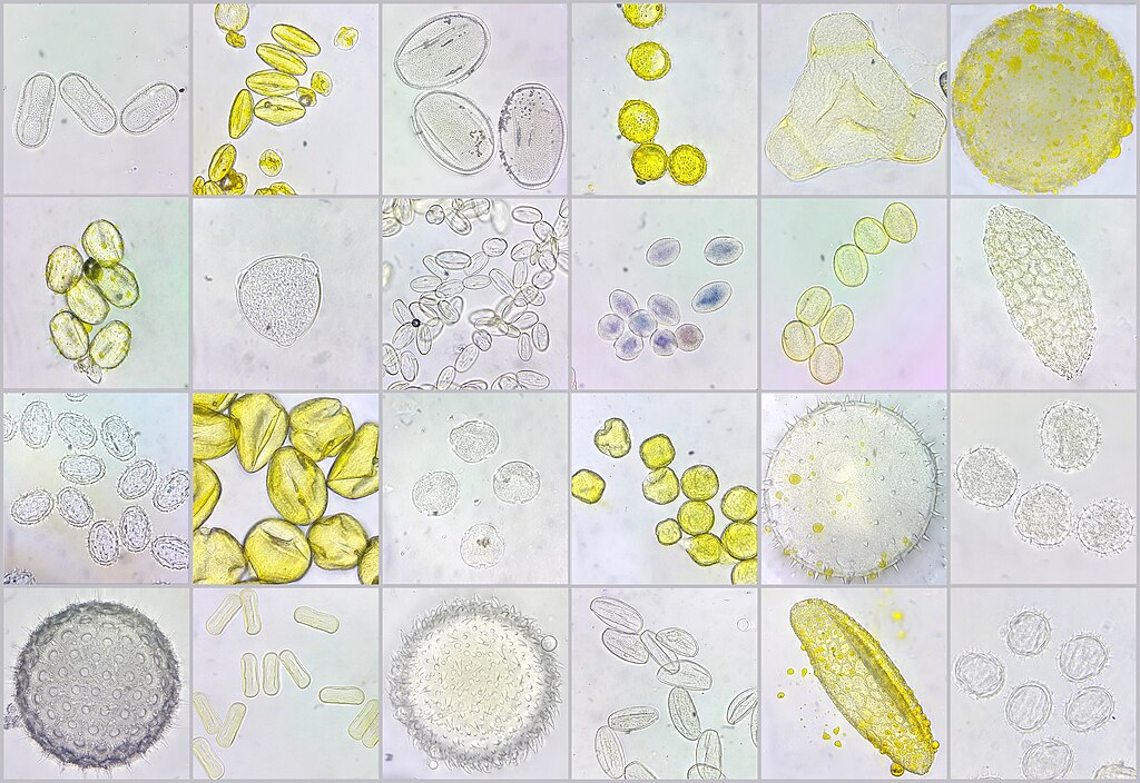
A visual guide to New Zealand bee pollen to help with honey analysis and identification.
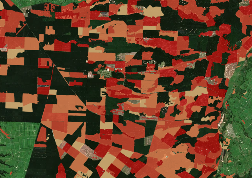
See the extent of forested land cleared between 2008 and 2020 shaded by year.
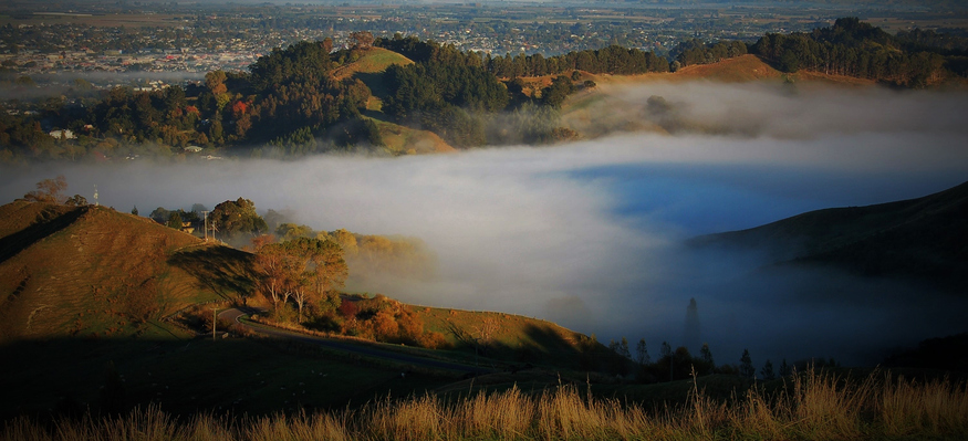
Explore Tairāwhiti's land use history and the impact of agriculture on its landscape.
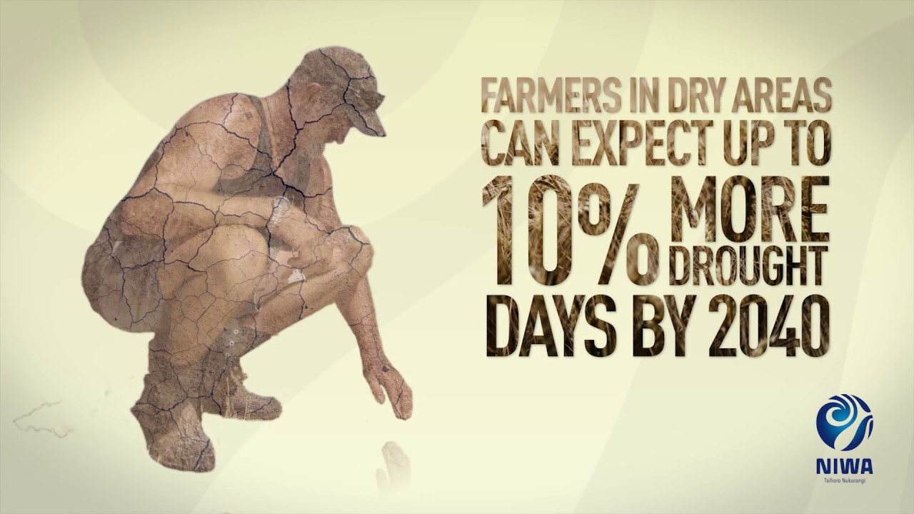
Learn about climate change in Aotearoa and how science helps us adapt.
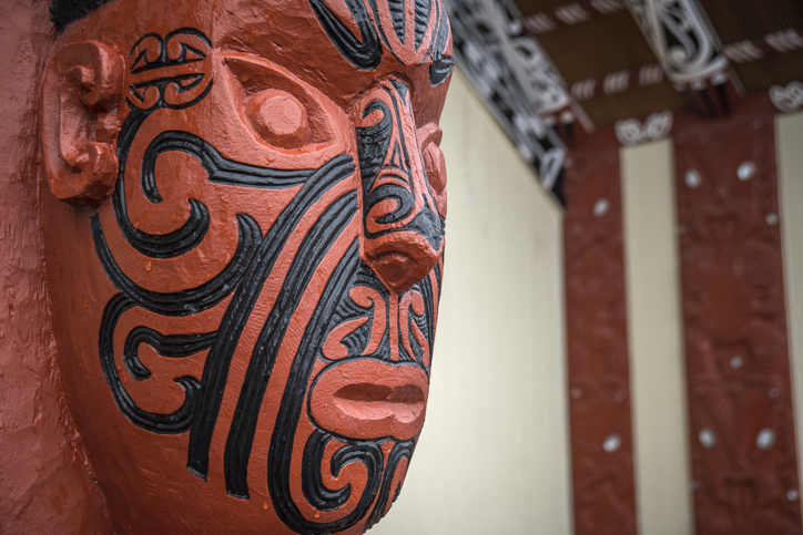
Explore the history and functions of the Māori Land Court over the last 150 years.
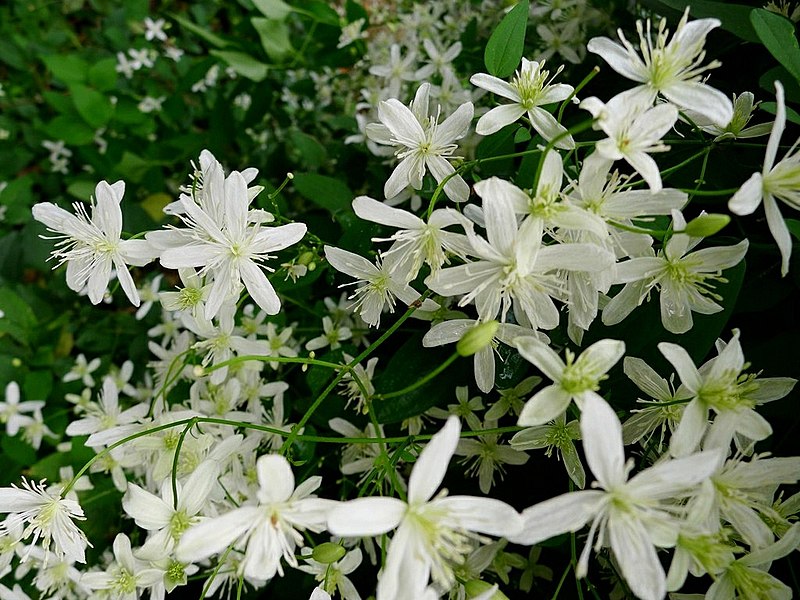
Visit the Waikereru seed archive, which showcases native plants that were used by Māori in Tairāwhiti.