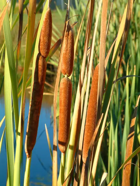
Key to wetland types of New Zealand
Whenua
Biodiversity
Conservation
Water
An interactive key to identify different wetlands that can be found in Aotearoa.
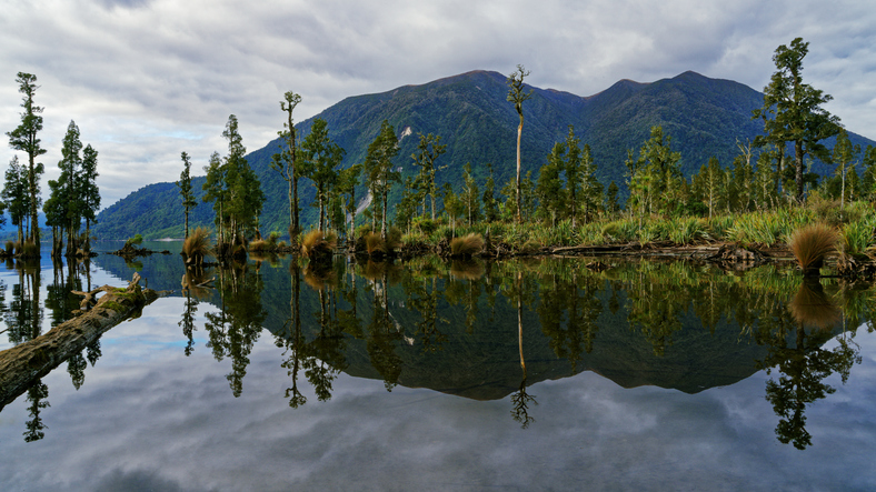
This guide can help you recognise wetlands on their property. It describes common signs — soggy or spongy ground, ponding, springs or a high water table — and explains that wetlands can be permanently or intermittently wet. You can also access free specialist advice from GWRC.
An interactive key to identify different wetlands that can be found in Aotearoa.
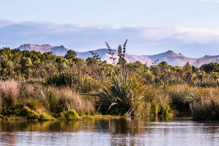
This add-in for Google Earth can help you identify wetlands using satellite imagery and public datasets.
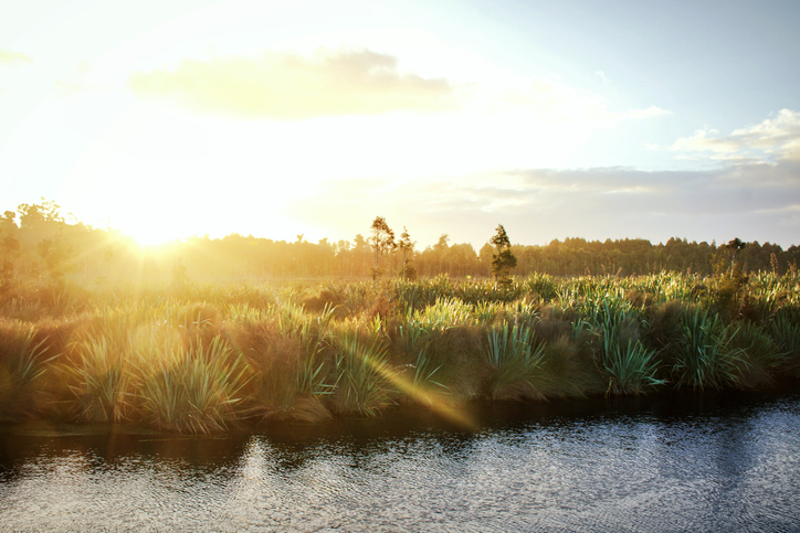
Learn how to plant and restore wetlands in New Zealand for better ecosystems.
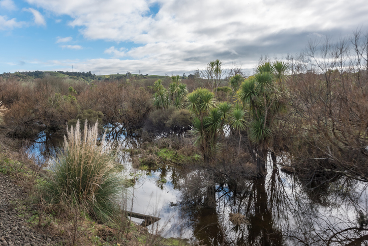
Learn how constructed wetlands treat farm runoff by removing sediment, nitrogen, and phosphorus.
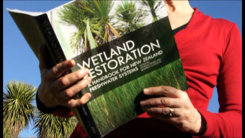
A guide to restoring New Zealand's freshwater wetlands with practical tips and beautiful images.
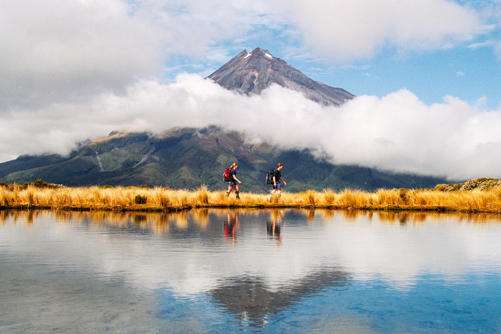
Learn about rules for activities near Taranaki wetlands.
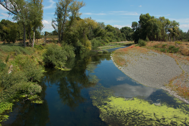
Learn how to protect waterbodies and wetlands for healthier whenua.
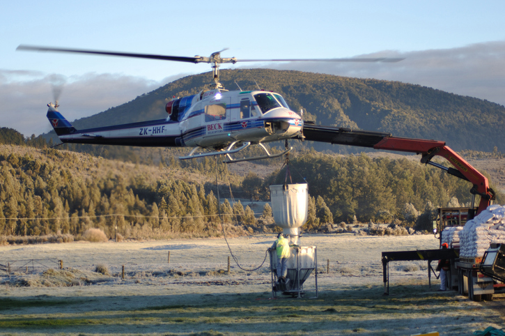
Practical predator control methods for wetlands and waterways on farms.
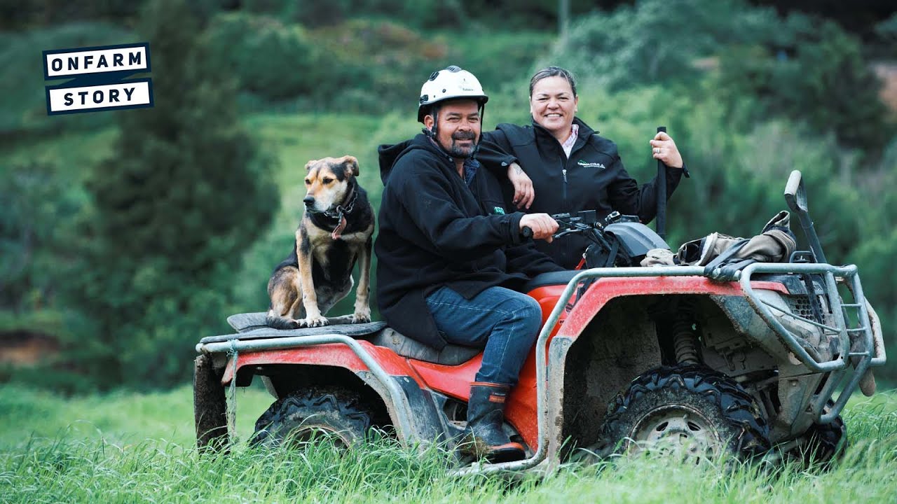
Learn about how the Weka Wetland project at Matawai increases biodiversity while reducing erosion and run-off.
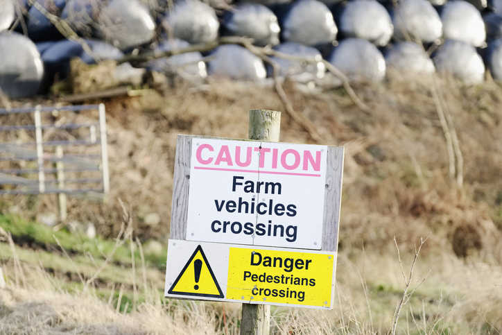
This guide includes legal rules and practical tips to help you manage health and safety on your farm.
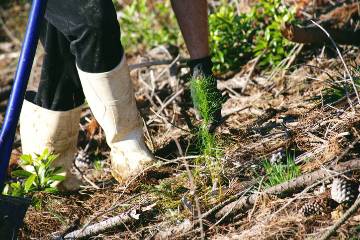
A case study about sustainable planting in Waimate, focusing on investment and wildlife habitats.
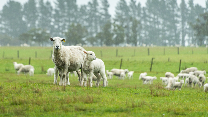
The SPI measures drought and wet conditions using recent rainfall data.
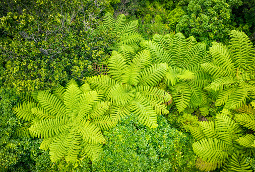
Find Northland guides on planting, stream margins, wetlands and culverts.
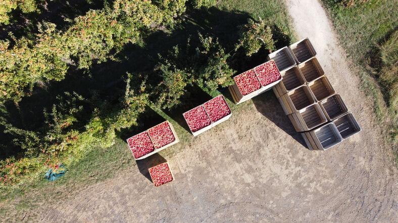
Find out what rules and regulations apply to whenua in your rohe.

This add-in for Google Earth can help you analyse coastal changes using satellite imagery and public datasets.
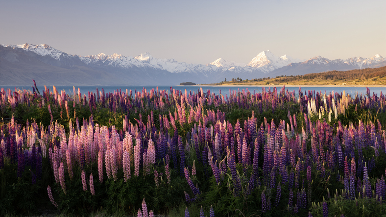
Understand the impacts that land use in Aotearoa has on people, whenua, and te taiao.
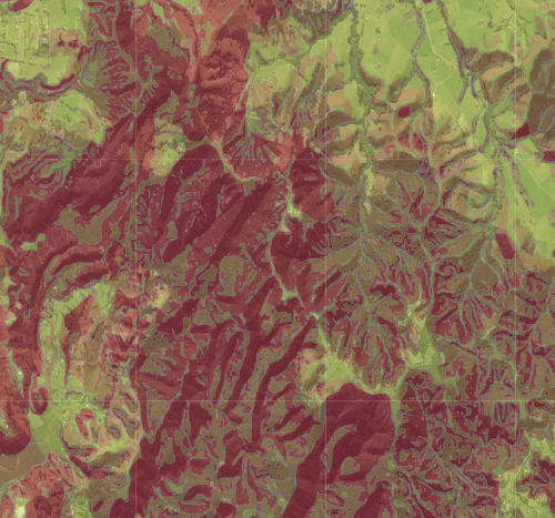
Check for land instability and slip-prone areas in the Whangārei District
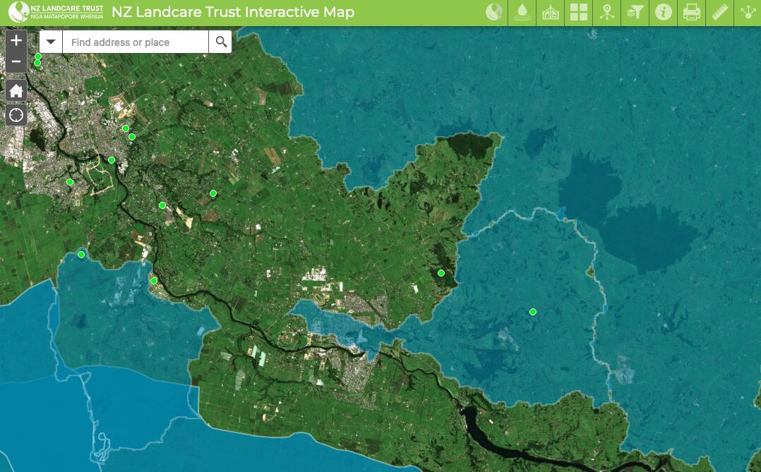
Find catchment and environmental groups and water quality data with this interactive map.
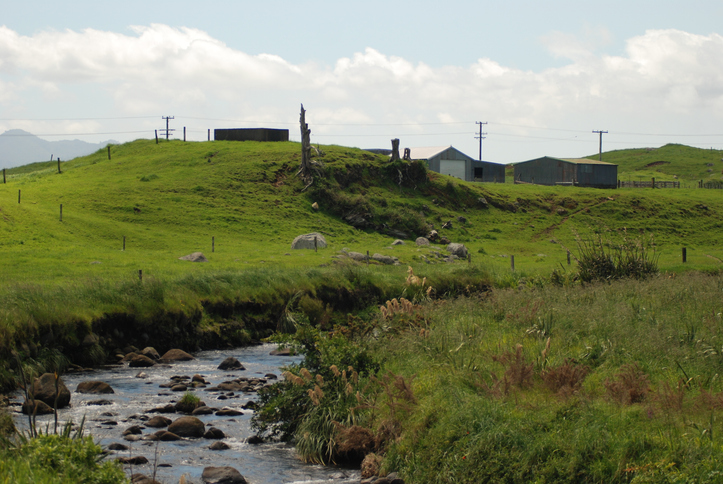
Get funding and advice to help protect and restore rivers on your whenua.
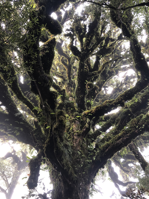
Practical steps for planning, boosting, and caring for native biodiversity on your farm.
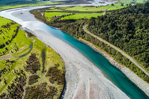
Learn how to plant trees along waterways to improve freshwater outcomes.
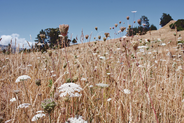
Find out how to identify and control 78 common weeds.
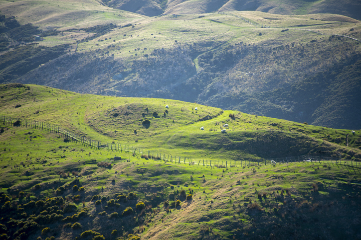
Learn how farmers can help prevent erosion through partnering.