Climate change impacts on suspended sediment loads in New Zealand
Climate
Erosion
Sustainability
Water
Find out how climate change could shift sediment loads in your local rivers.
This dataset models suspended sediment yields and loads for river segments across the Wairoa catchment in Hawke's Bay, comparing today's baseline with a scenario where the best available mitigation measures are applied.
It gives sediment yield in tonnes per square kilometre per year and total load in tonnes per year, summarised as a low, middle and high estimate across six regional climate models and four emissions pathways.
Manaaki Whenua – Landcare Research built the figures for Our Land and Water using its SedNetNZ model; the full modelling assumptions and limitations are set out in two companion reports rather than repeated here.
Find out how climate change could shift sediment loads in your local rivers.
Compare sediment levels in your local rivers against national bottom lines.
Find links to the main models used to estimate erosion and sediment in Aotearoa.
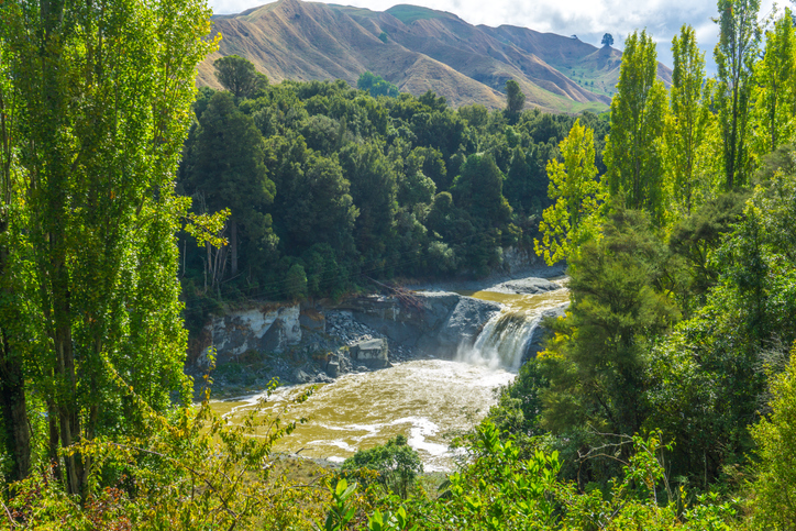
Look up the nitrogen parameters behind Aotearoa's catchment nutrient models.
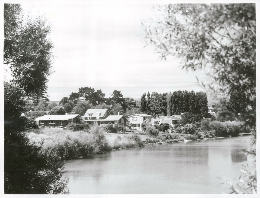
A project to restore the Waimatā River, focusing on ecology and community involvement.
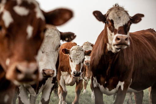
Explore how dairy water-quality measures affect greenhouse gas emissions too.
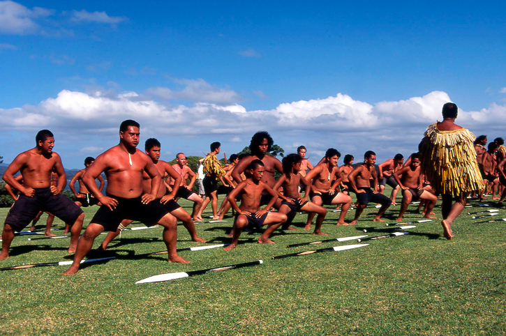
This report explores ways to improve Māori land resilience against climate change through afforestation.
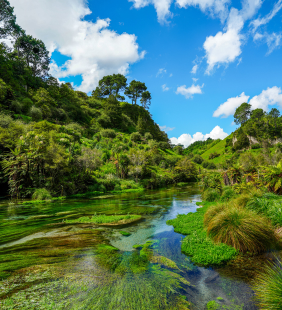
Read the report behind Aotearoa's freshwater E. coli, sediment and nutrient maps.
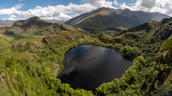
Explore how land use changes affect water quality and nitrogen, phosphorus loads.
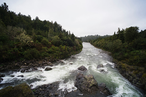
Compare nitrogen and phosphorus levels in your rivers against national bottom lines.
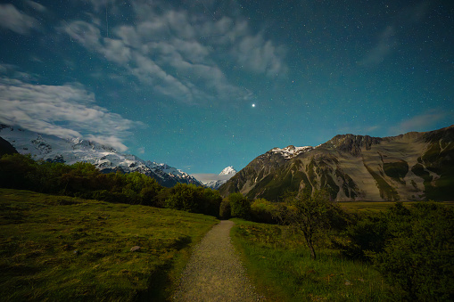
Using radiometrics and local knowledge to map how Southland's landscape affects water quality.
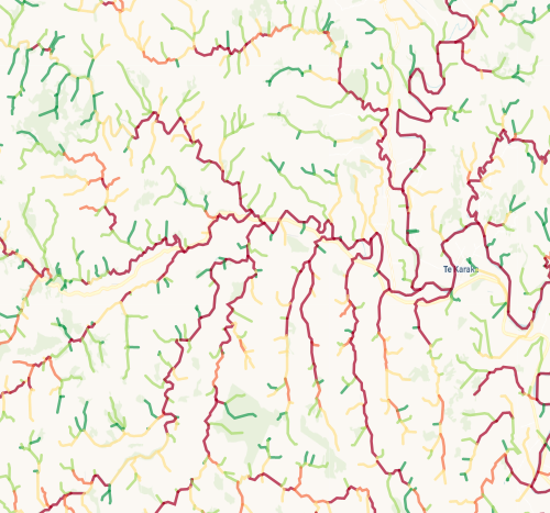
Check which streams on your whenua are most vulnerable to bank erosion.
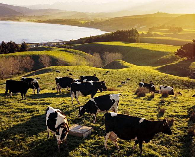
See which sheep and beef mitigation measures cut nutrient loss and emissions.
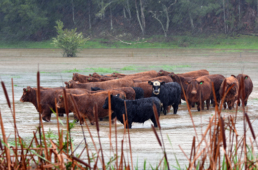
Read how climate change could shift what your land is best suited to.
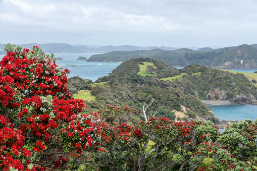
Explore projected temperature and rainfall changes for Aotearoa online.
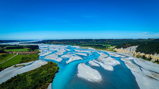
See projected trends in river flow and water balance across Aotearoa's regions.
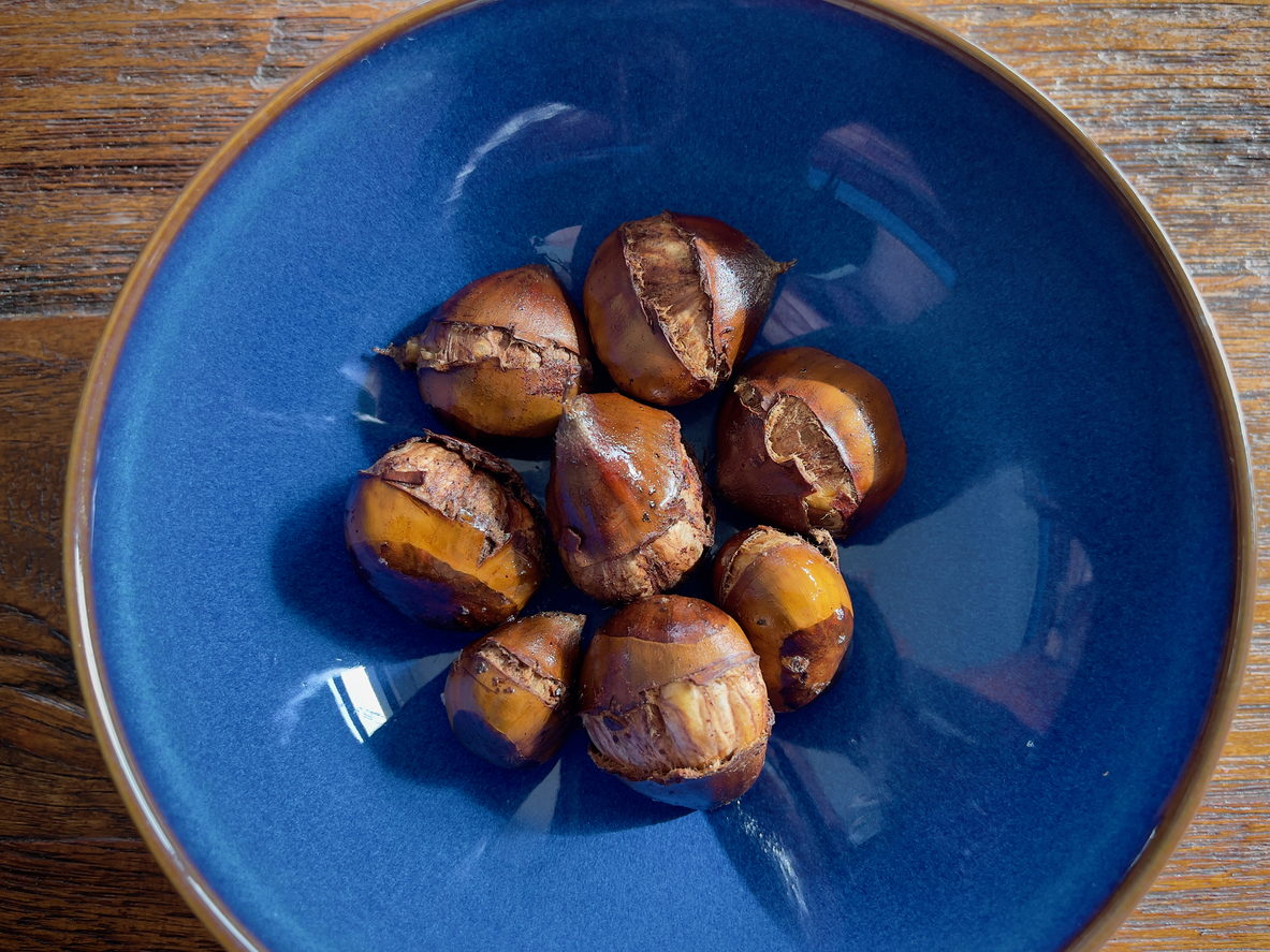
Learn how much chestnuts the whenua in your rohe could produce each year.
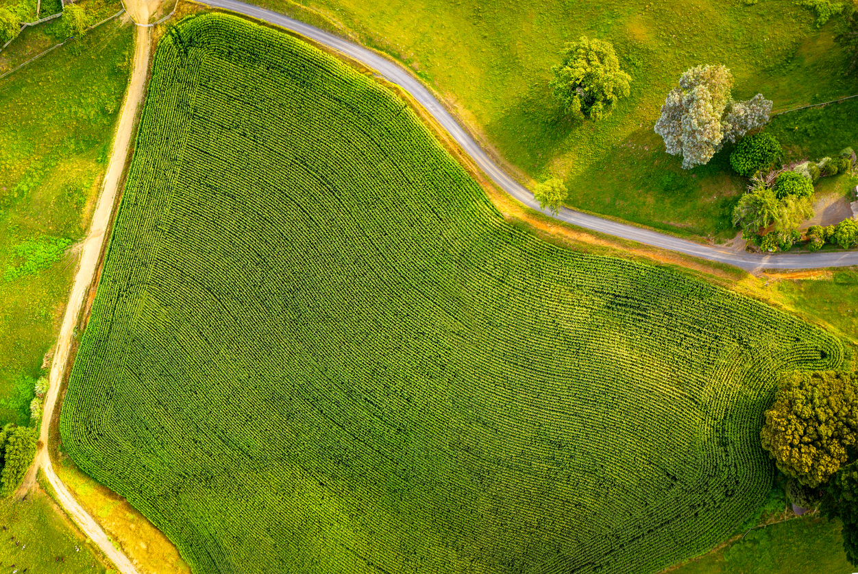
Find out how much grain maize the whenua in your rohe could produce each year.
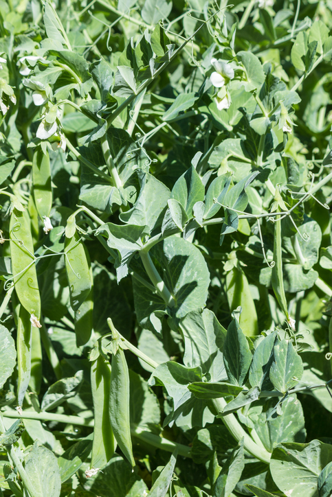
Learn how much peas the whenua in your rohe could produce each year.
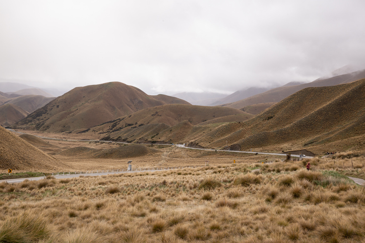
Find out how pasture growth on your land could change as the climate warms.
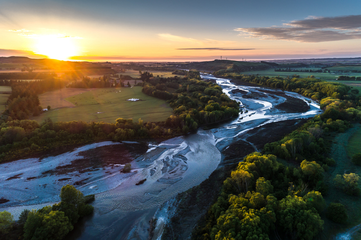
A comprehensive dataset of Aotearoa river catchments that drain to the sea.
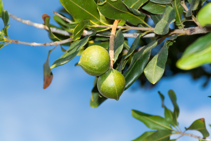
See how much macadamias the whenua in your rohe could produce each year.
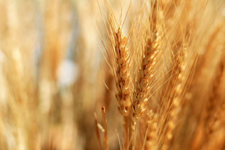
See how much wheat, barley and oats the whenua in your rohe could produce each year.