Current state vs freshwater objectives report
Whenua
Sustainability
Water
Read the report behind Aotearoa's freshwater E. coli, sediment and nutrient maps.
This dataset compares measured water clarity and sediment levels in Aotearoa's rivers against the national bottom lines set for safe freshwater.
For each river segment it gives the sediment load carried each year and how much of that is in excess of the national bottom line, both as a tonnage and as a share of the total load. A segment carrying excess sediment is not meeting the national standard for clarity.
The figures come from a statistical model, built by Ton Snelder and colleagues, that predicts sediment and clarity from catchment characteristics and compares them against the thresholds set in the National Policy Statement for Freshwater Management. The analysis already uses all the monitoring data available, so results are more reliable at a catchment or regional scale than for judging a single farm.
Read the report behind Aotearoa's freshwater E. coli, sediment and nutrient maps.
Find out how climate change could shift sediment loads in your local rivers.
Compare nitrogen and phosphorus levels in your rivers against national bottom lines.
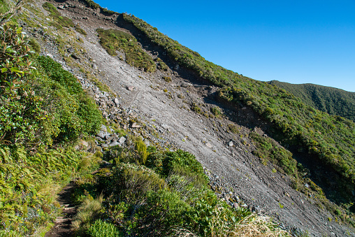
Find links to the main models used to estimate erosion and sediment in Aotearoa.
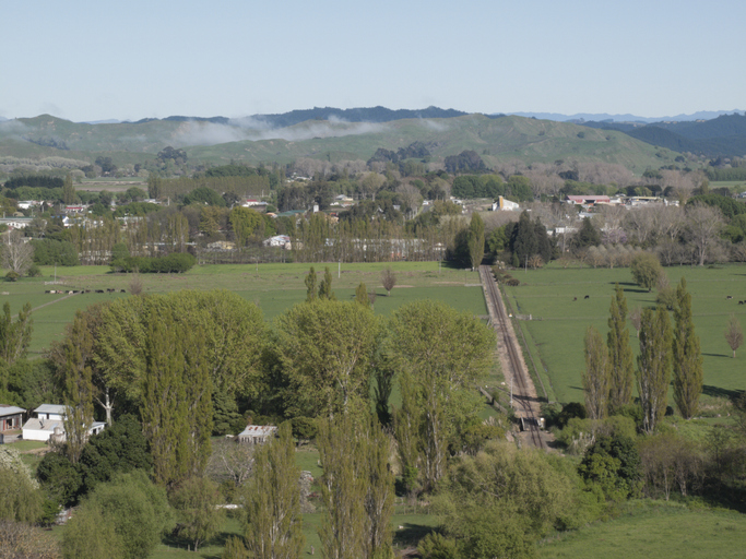
See modelled sediment yields for the Wairoa catchment now and under mitigation.
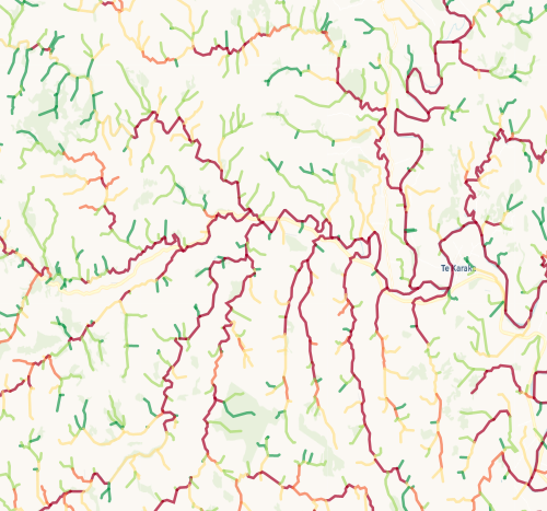
Check which streams on your whenua are most vulnerable to bank erosion.
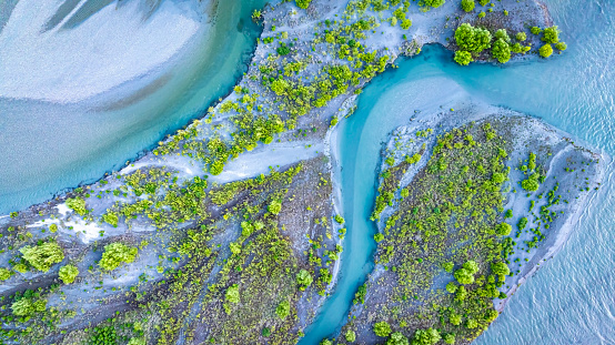
Compare E. coli levels in your local rivers against national bottom lines.
Find data on how climate change affects water in Aotearoa’s rivers and groundwater.
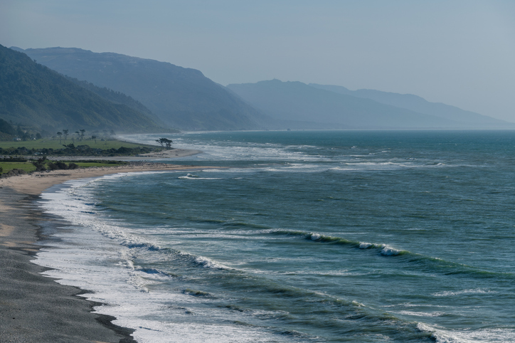
The SOE report shows the West Coast's natural resource trends and areas for improvement.
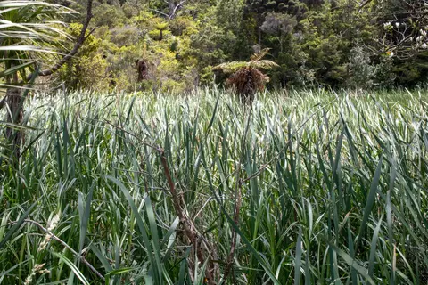
See how Owl Farm's constructed wetland strips nitrogen and sediment from farm runoff.
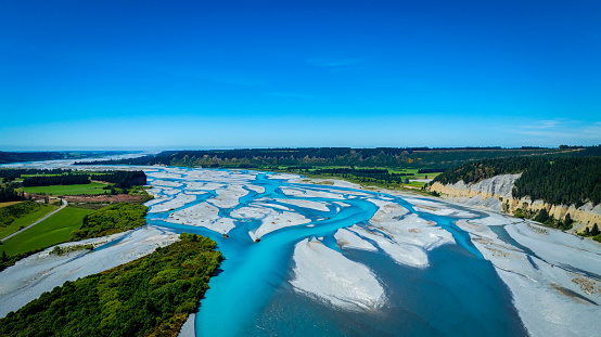
See projected trends in river flow and water balance across Aotearoa's regions.
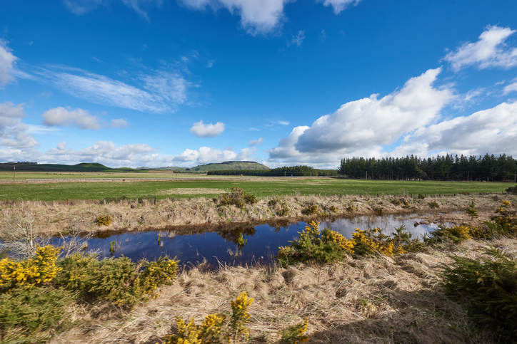
Explore maps showing how livestock density affects water quality in New Zealand rivers.
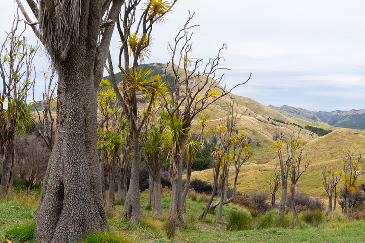
Guidelines and resources for managing erosion and sediment in forestry in New Zealand.
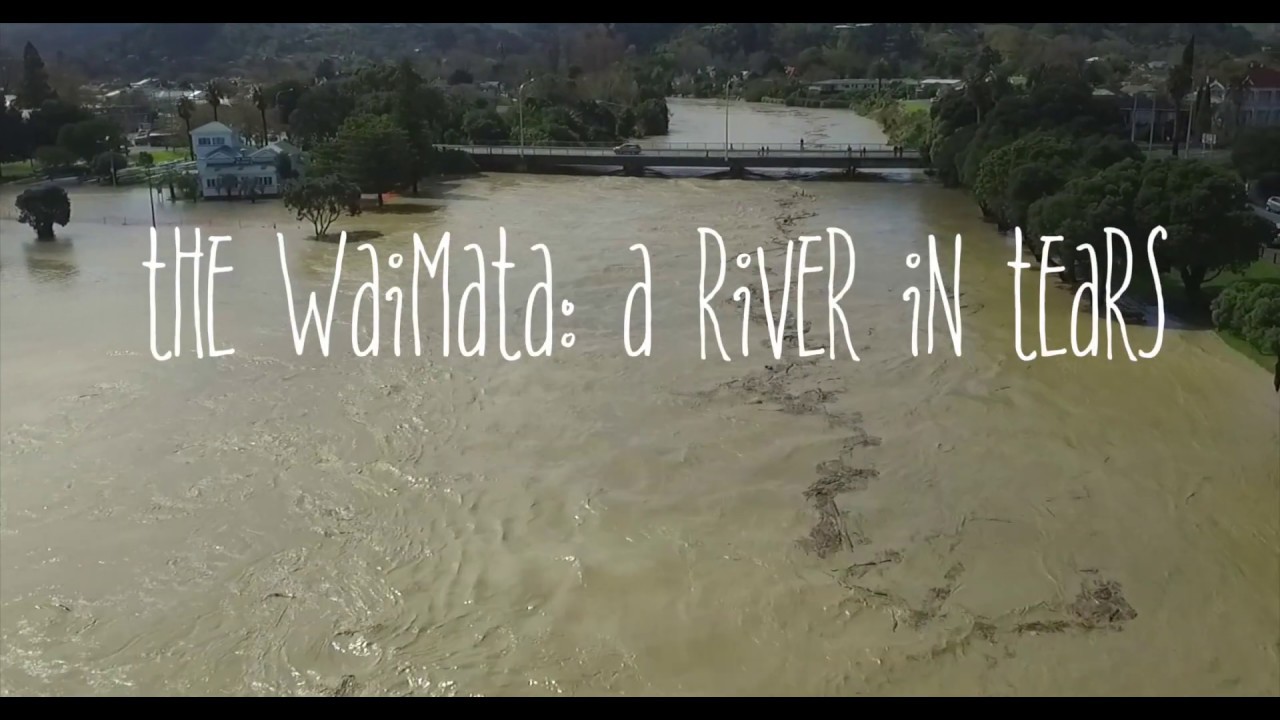
Waimata River faces severe erosion, pollution, and habitat loss from farming and logging.
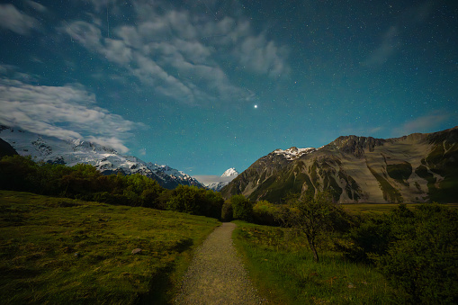
Using radiometrics and local knowledge to map how Southland's landscape affects water quality.
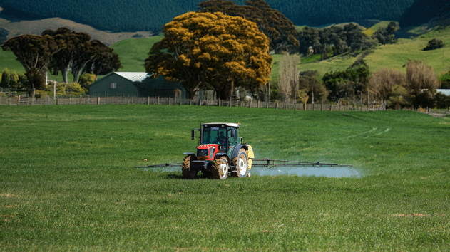
Use the N-Cap Webform to report synthetic nitrogen use on your dairy farm.
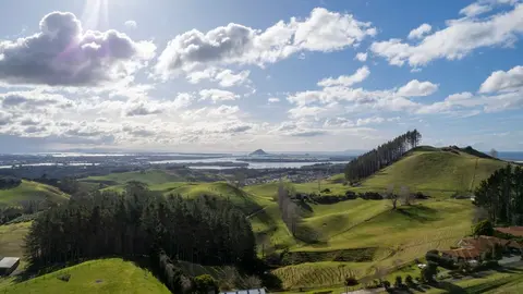
How and why land use in Aotearoa has to change.
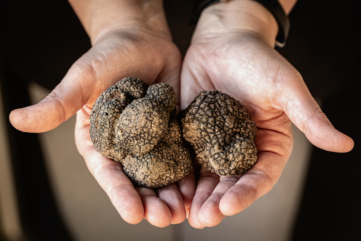
Compare how much truffles the whenua in your rohe could produce each year.
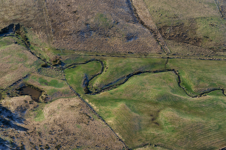
A freshwater farm plan can help you protect freshwater in your rohe. In some cases you might be required to have one.
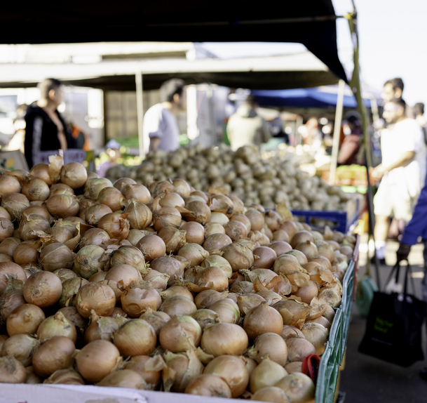
Explore how much onions the whenua in your rohe could produce each year.
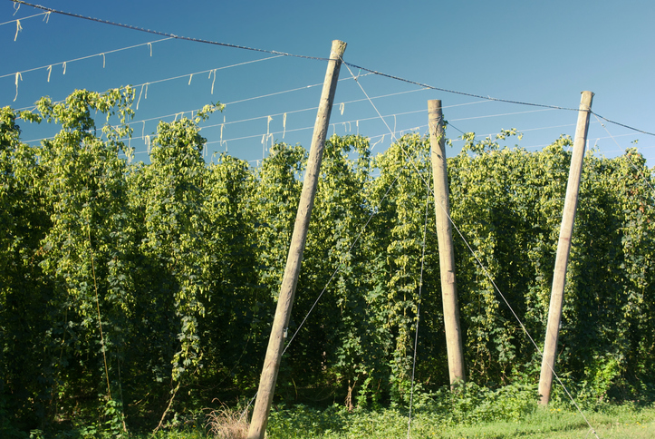
Compare how much hops the whenua in your rohe could produce each year.
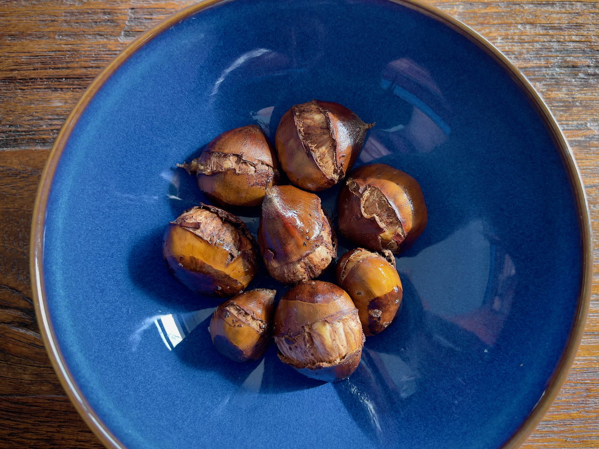
Learn how much chestnuts the whenua in your rohe could produce each year.
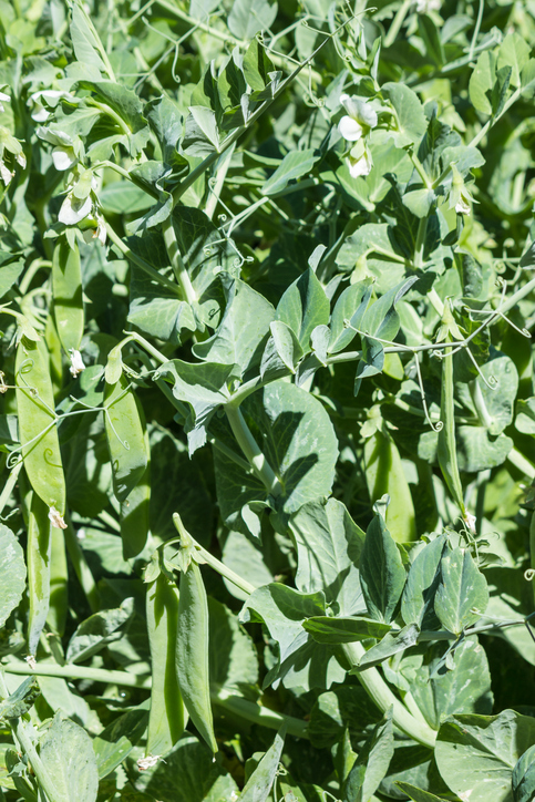
Learn how much peas the whenua in your rohe could produce each year.