Current state vs freshwater objectives: E. coli
Whenua
Sustainability
Water
Compare E. coli levels in your local rivers against national bottom lines.
This dataset scores the risk of E. coli washing off the land into waterways, from 1, lowest risk, to 10, highest risk, at a fine, one-hectare resolution across Aotearoa.
The score reflects the land use, elevation and other conditions at each point, so paddocks and land uses that are more likely to shed E. coli into nearby water score higher.
NIWA built the risk matrix from 2018 land use and terrain data, guided by expert judgement checked against published research, then classified the country with a purpose-built script. Land use across the country is grouped into only five broad classes, so the map is a screening tool rather than a precise measure for one paddock.
Compare E. coli levels in your local rivers against national bottom lines.
Read the report behind Aotearoa's freshwater E. coli, sediment and nutrient maps.
See how susceptible your soil and climate are to nitrogen loss each month.
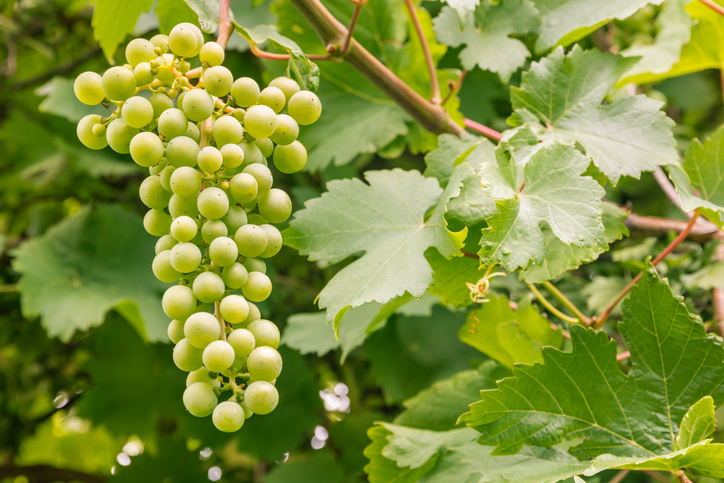
Compare how well suited the whenua in your rohe is to growing Sauvignon blanc grapes.
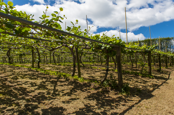
Learn how well kiwifruit could grow in your rohe by 2050 as the climate changes.
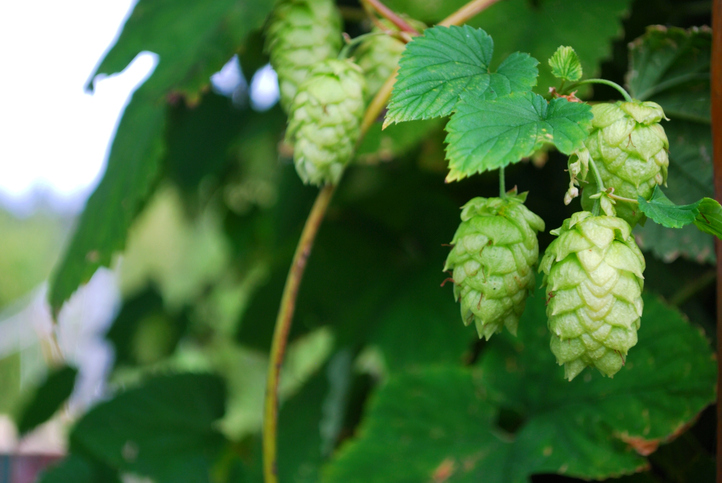
Discover how well suited the whenua in your rohe is to growing hops.
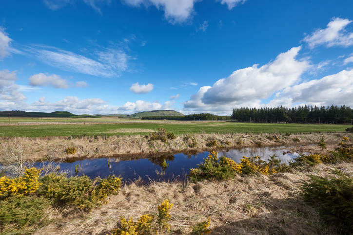
Explore maps showing how livestock density affects water quality in New Zealand rivers.
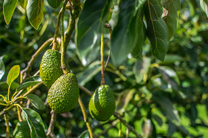
Find out how well suited the whenua in your rohe is to growing avocados.
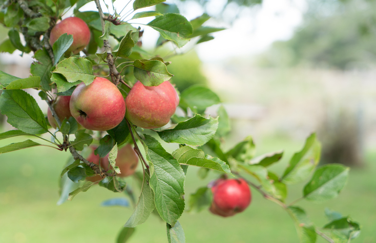
See how well suited the whenua in your rohe is to growing apples.
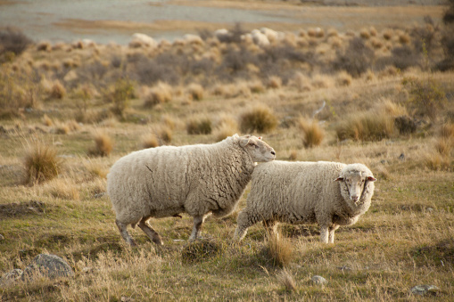
See how haemonchosis risk for your livestock could shift as the climate changes.
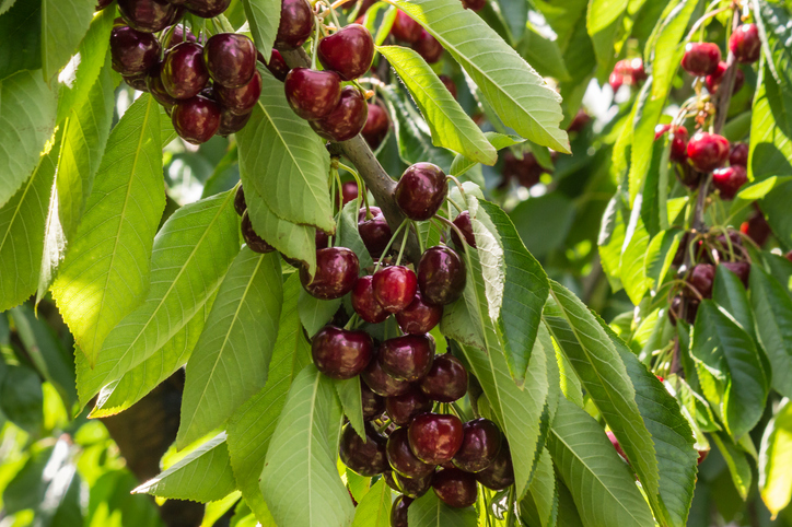
Explore how well suited the whenua in your rohe is to growing cherries.
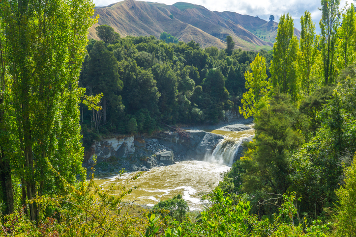
Look up the nitrogen parameters behind Aotearoa's catchment nutrient models.

LUCAS is a national dataset that tracks carbon sequestration and land use change over time.
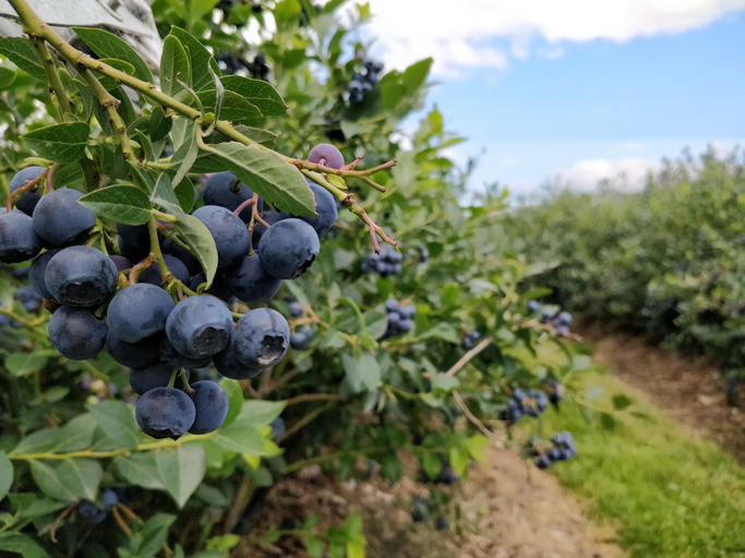
Discover how well suited the whenua in your rohe is to growing blueberries.
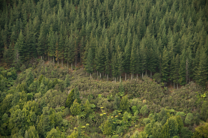
Explore how suited your whenua is for planting radiata pine as a forestry crop.
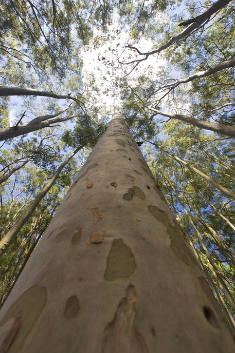
See how suited your whenua is for planting Eucalyptus fastigata as a forestry crop.
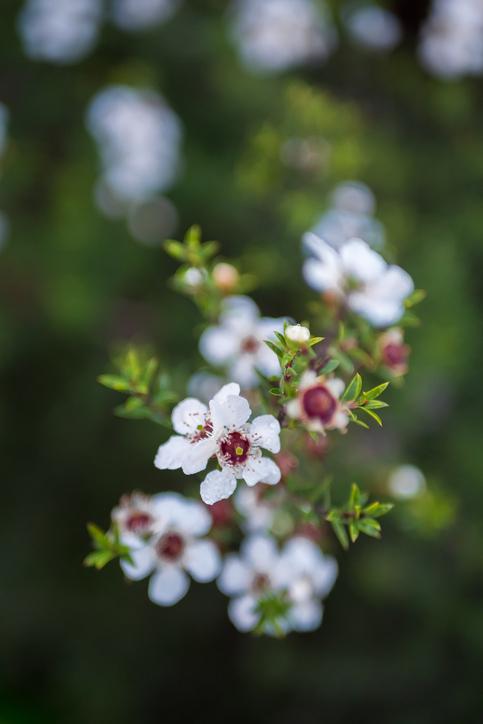
Check how well suited the whenua in your rohe is to producing mānuka honey.
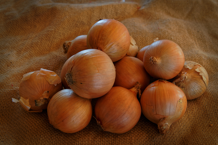
Compare how well suited the whenua in your rohe is to growing onions.
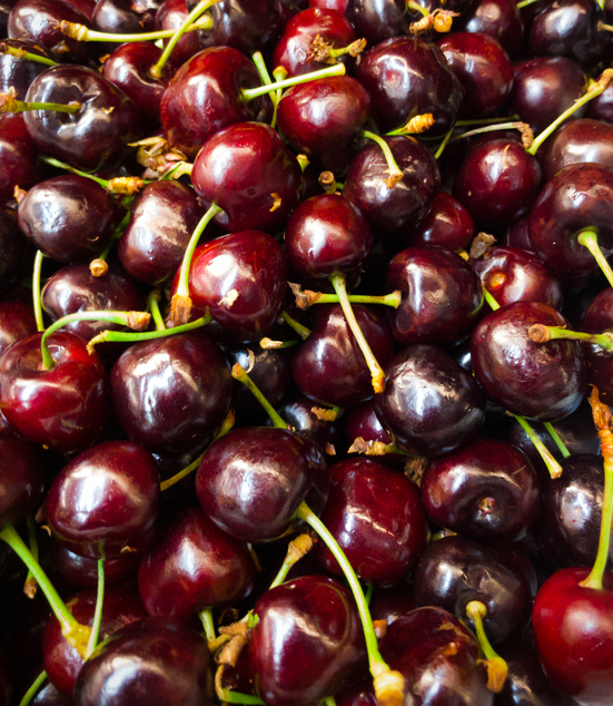
Explore how well cherries could grow in your rohe by 2050 as the climate changes.
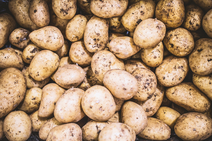
Find out how well suited the whenua in your rohe is to growing potatoes.
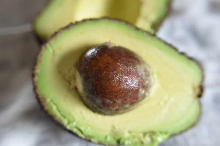
Find out how well avocados could grow in your rohe by 2050 as the climate changes.
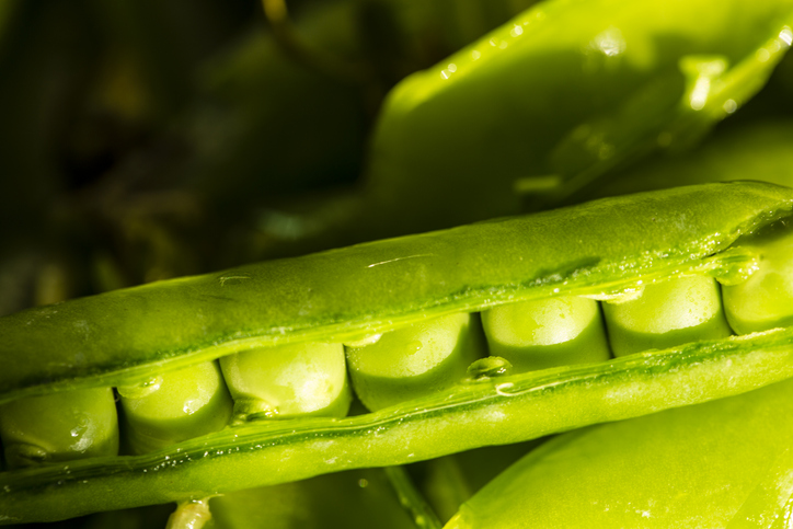
See how well suited the whenua in your rohe is to growing peas.
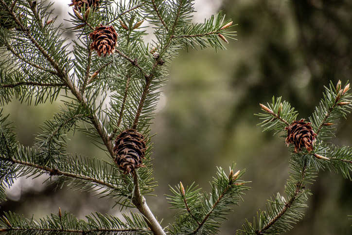
Check how suited your whenua is for planting Douglas fir as a forestry crop.