Agent-based Rural Land Use New Zealand Model
Whenua
Planning
Sustainability
A model for understanding how change could impact farming and the environment.
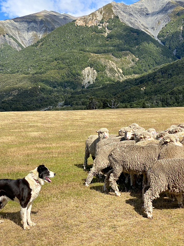
Land Use in Rural New Zealand (LURNZ) is a computer model that shows how different land usessuch as dairy, sheep and beef, forestry, and scrub could change over time. Feed it information on current land cover, farm costs, commodity prices and emissions factors, and it maps out where conversions are most likely and what that could mean for production, income, water quality, and greenhouse gases.
Because the code is open source, you or your adviser can adapt it to test your own scenarios, from putting a price on methane to planting trees on steep blocks. The model runs in MATLAB and underlying data can be supplied on request.
A model for understanding how change could impact farming and the environment.
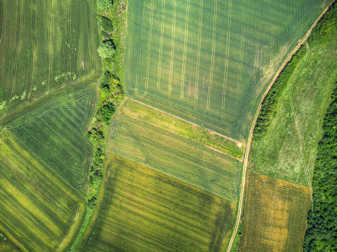
A data-driven model to explore how policies and land use affect the environment in New Zealand.
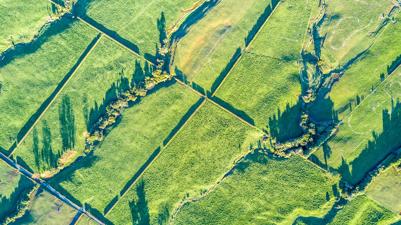
Read about the impacts different Aotearoa land use change scenarios might have on cliamte and socio-economic outcomes.
A comprehensive dataset that tracks how rural land is used across Aotearoa.
Training for rural professionals on climate change and agricultural geenhouse gas emissions in NZ.
Rural survey data for understanding New Zealand's farming and planning needs.

LUCAS is a national dataset that tracks carbon sequestration and land use change over time.
A report on New Zealand's livestock methane emissions and their impacts.
Discover how low-emissions farming could shape the future of sheep, beef, and dairy in Aotearoa.
E2M is a decision-support tool that links farm finances and environmental impacts in one framework.
See how land-use and farm practice changes on your land can impact water quality across the catchment.
Learn about dairy farm emissions, their impacts, and ways to reduce them without affecting your profitability.
Strategies for Māori farms to reduce greenhouse gases to meet the Zero Carbon targets.
This paper explores how Aotearoa sheep and beef farms react to climate change policies.
See different climate change scenarios for New Zealand and their potential impacts.
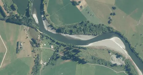
Model how land use changes might influence water quality in your catchment.
Get practical fire safety tips for rural homes and businesses.
Research on how Māori land tenure shapes rural land use choices
This research examines how climate change affects farmland values in Aotearoa.

This model links emissions data to household spending household greenhouse gas emissions
Explore national data about dairy herds and production.
Weigh up how imported feed choices affect your costs, cows and farm emissions footprint.
Read NZAGRC's recommendations