Taking a look at the big picture
Whenua
Biodiversity
Conservation
Planning
Soil
Water
Explore how land use affects soil and water quality across New Zealand catchments.
The Catchment Land Use for Environmental Sustainability (CLUES) model can help you understand how changes in land use and farm practices affect rivers, streams, and estuaries. It combines environmental data and socio-economic information to predict nutrient losses, sediment, and E. coli at the catchment scale, showing results on maps and tables.
It's free for non-commercial use.
Explore how land use affects soil and water quality across New Zealand catchments.
Explore how land use changes affect water quality and nitrogen, phosphorus loads.
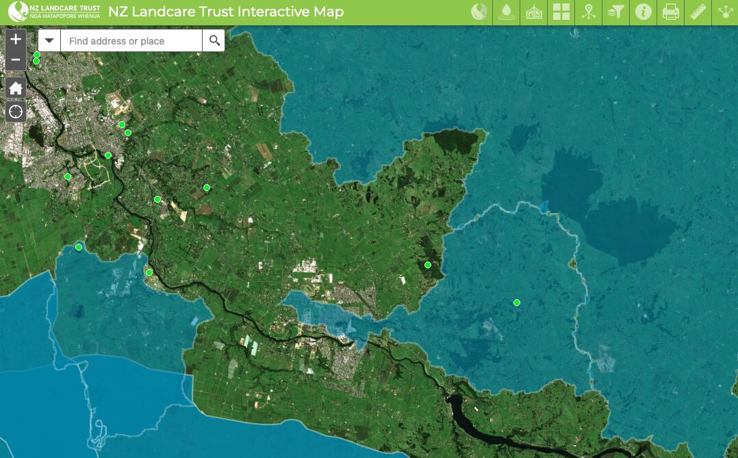
Find catchment and environmental groups and water quality data with this interactive map.
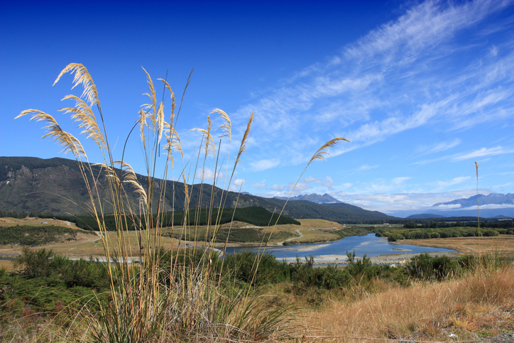
Factsheets about river catchments in Murihiku | Southland.

Using radiometrics and local knowledge to map how Southland's landscape affects water quality.

Thriving Southland supports local catchment groups to create a prosperous Southland.
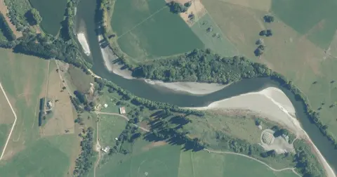
Model how land use changes might influence water quality in your catchment.
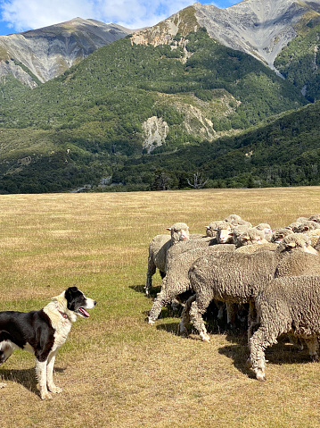
A model to study land use changes and their effects in rural New Zealand.

Find out how climate change could shift sediment loads in your local rivers.
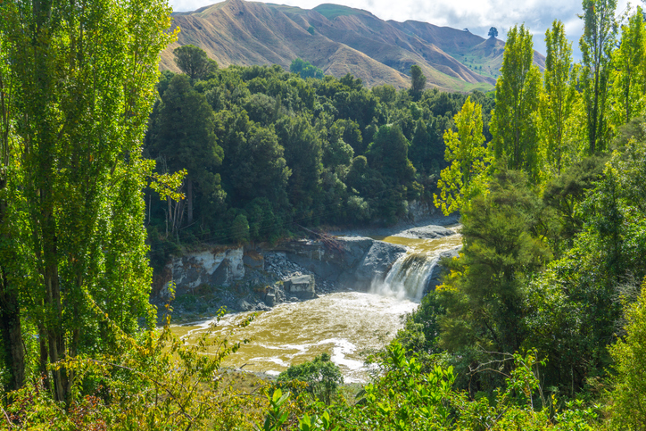
Look up the nitrogen parameters behind Aotearoa's catchment nutrient models.
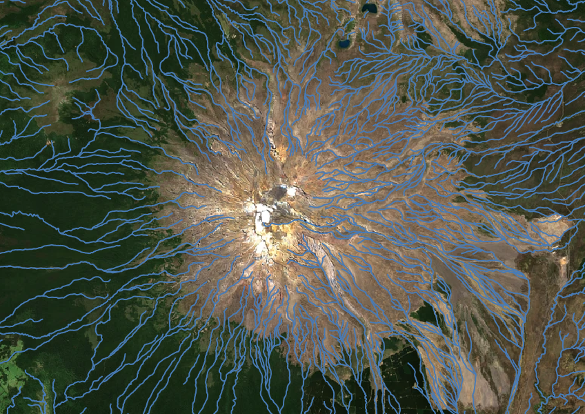
Download a dataset of named and unnamed river lines data for use in your analysis.
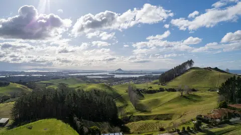
How and why land use in Aotearoa has to change.
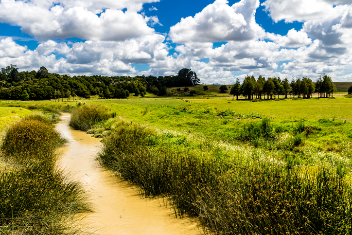
Check the E. coli runoff risk score for land in your rohe or catchment.
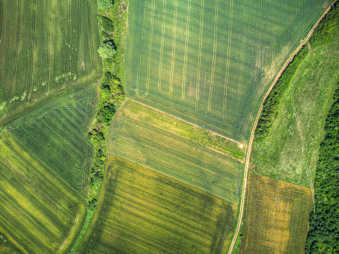
A data-driven model to explore how policies and land use affect the environment in New Zealand.

A model for understanding how change could impact farming and the environment.
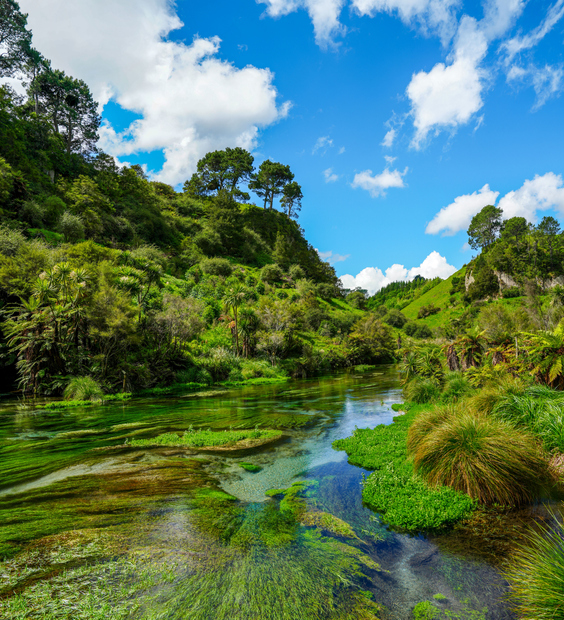
Read the report behind Aotearoa's freshwater E. coli, sediment and nutrient maps.
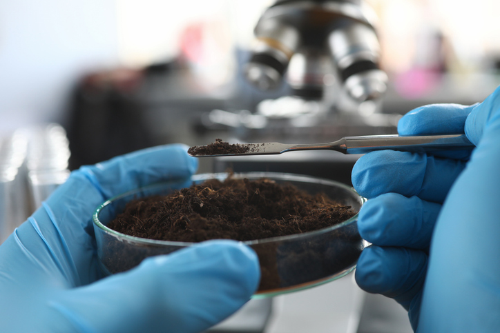
Explore how soil supports farming, impacts the environment, and learn about possible solutions for healthier farming practices.
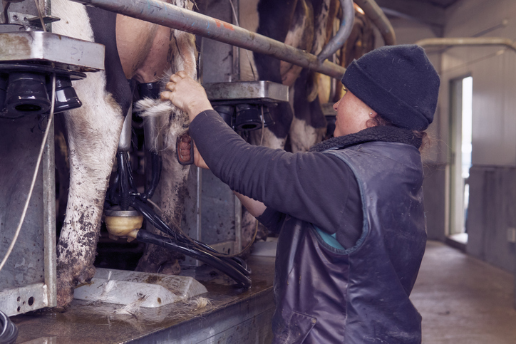
See what dairy farming earns, costs and pays in wages on land suited to it in your rohe.
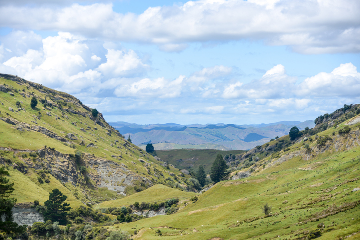
This report explores land use changes in New Zealand to cut greenhouse gas emissions.
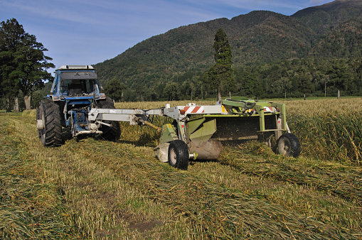
E2M is a decision-support tool that links farm finances and environmental impacts in one framework.