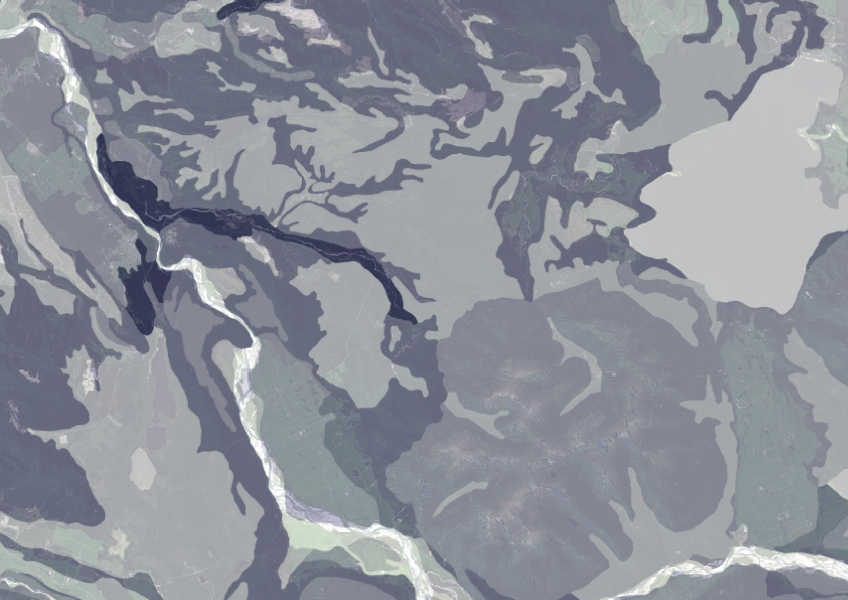
Fundamental Soils Layer (FSL) - Topsoil Gravel Content
Whenua
Planning
Soil
Sustainability
Data on gravel content in topsoil across New Zealand, useful for land use planning.
Publisher

Data on gravel content in topsoil across New Zealand, useful for land use planning.

This map shows erosion types and estimated severity across Aotearoa.
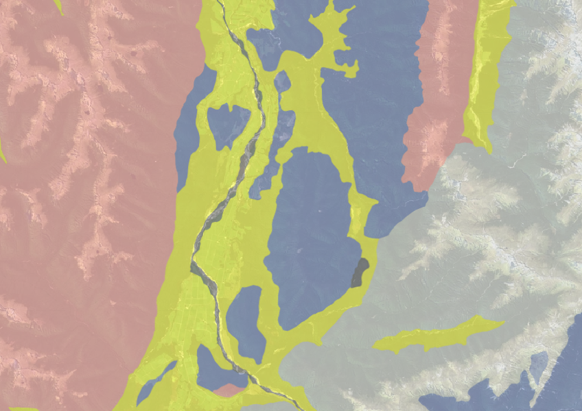
Use the NZLRI rock dataset to understand what type of rock is under your whenua.
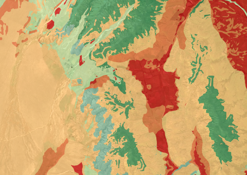
The Threatened Environments Classification can help you better understand the health of your local ecosystems.

See land cover in Aotearoa and how it has changed over time.

Explore how land use affects soil and water quality across New Zealand catchments.
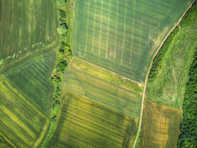
A data-driven model to explore how policies and land use affect the environment in New Zealand.

New Zealand's vegetation survey data spans over 70 years and includes 121,000 plot records.
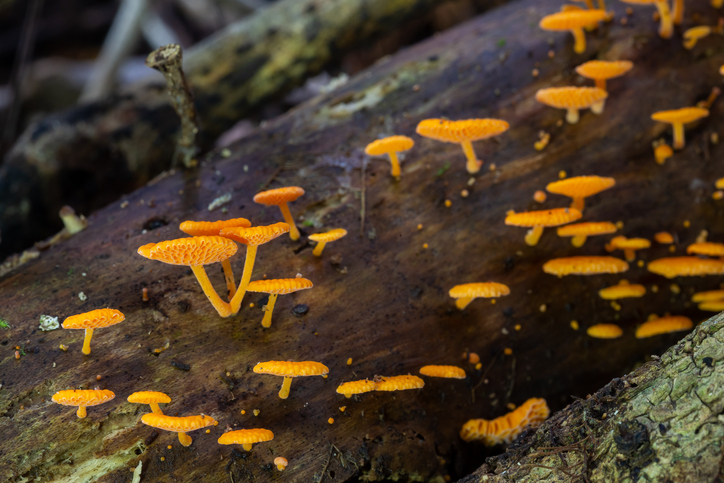
Biota of New Zealand is a comprehensive catalogue of scientific data about fungi, land invertebrates, and plants.
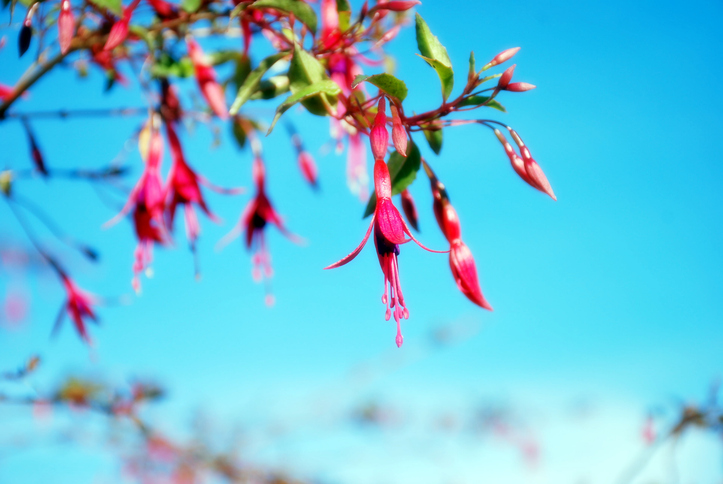
An interactive key to identify different Aotearoa flowering plant species.
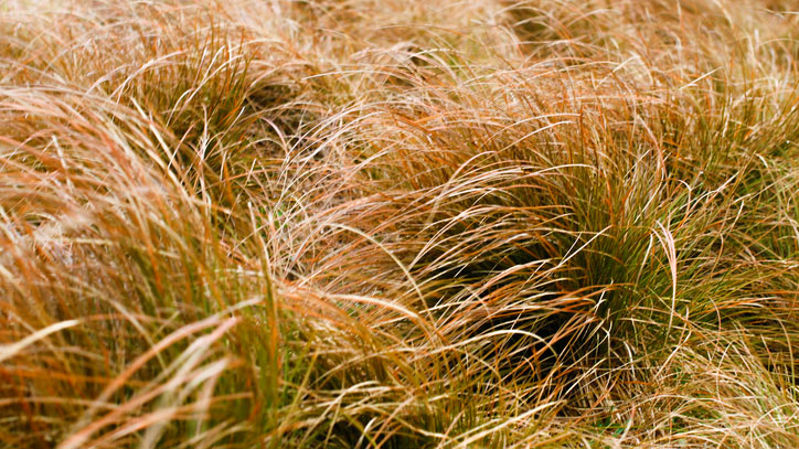
An interactive key to identify different Aotearoa grass species.
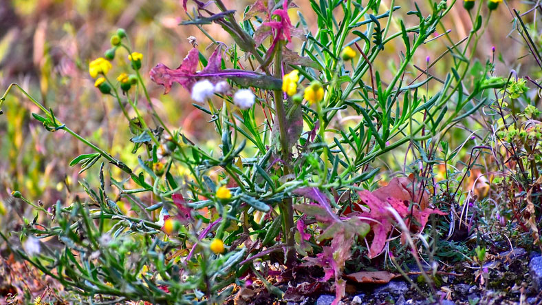
An interactive key to identify different weeds that can be found in Aotearoa.