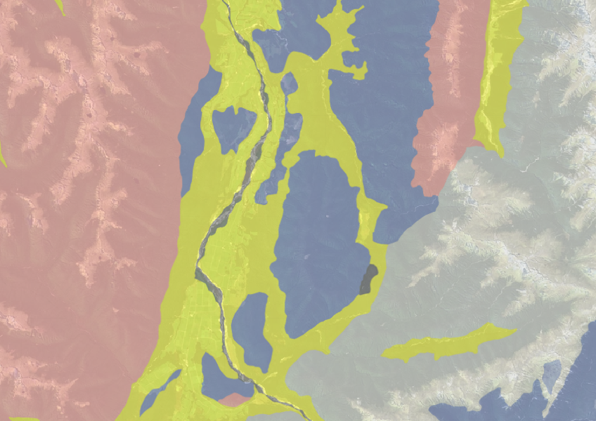
New Zealand Land Resource Inventory (NZLRI) - Rock
Whenua
Planning
Soil
Sustainability
Use the NZLRI rock dataset to understand what type of rock is under your whenua.

This dataset can help you better understand the erosion on your land. It shows different types of erosion and their estimated severity across a wide area.
Note that while this data is a good indicator for likely erosion risk at a catchment or community level it is probably not detailed enough to provide confidence for decisions at a farm level.
Data sourced from Manaaki Whenua Landcare Research licensed under CC BY 4.0.
Use the NZLRI rock dataset to understand what type of rock is under your whenua.

This widely used map estimates the land's potential for agricultural production.
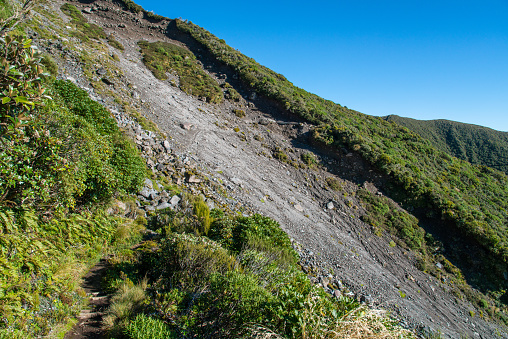
Find links to the main models used to estimate erosion and sediment in Aotearoa.
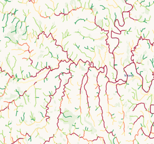
Check which streams on your whenua are most vulnerable to bank erosion.
This study models soil loss, which is a major issue for Aotearoa farms and the environment.
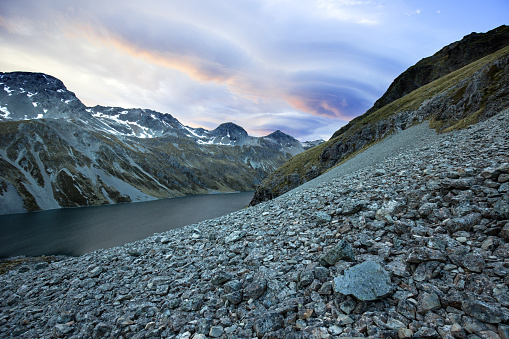
Find out how climate change could shift sediment loads in your local rivers.
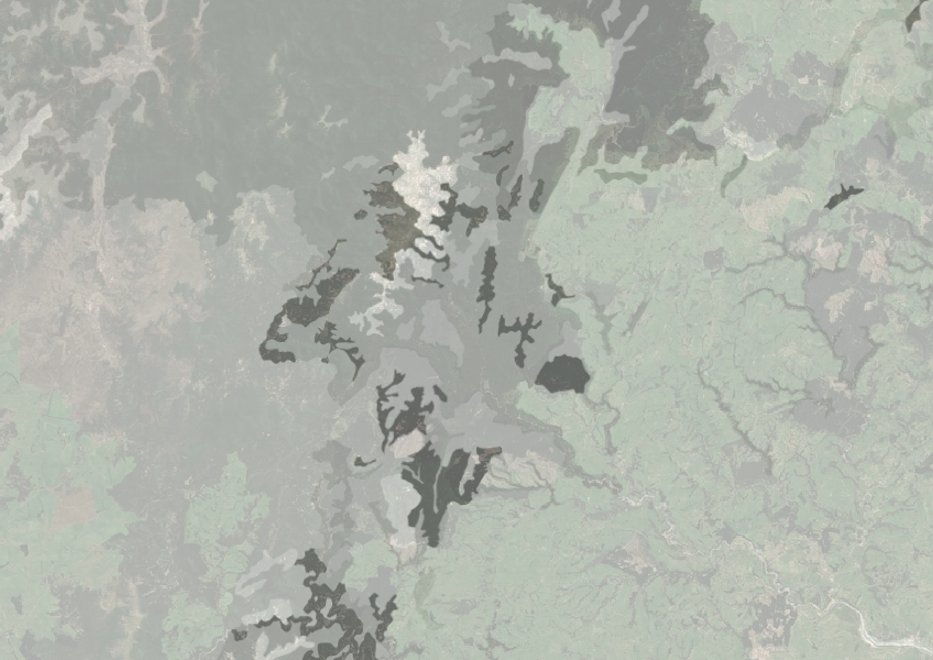
Understand how rocky your whenua is so you can make better land use decisions.
Get high-level soil classification data for Te Ika a Māui to help with land use decisions.
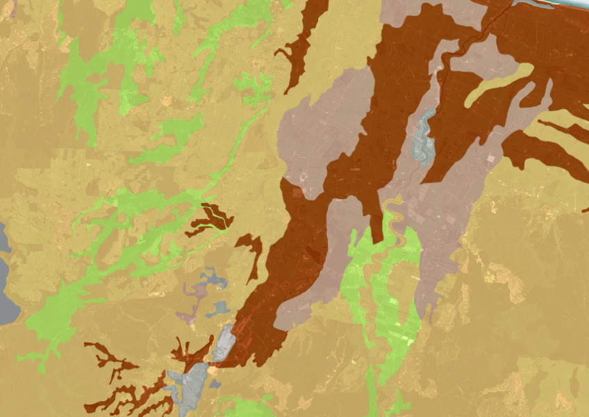
A dataset that estimates soil temperature across the motu.
View drought intensity data and charts for your region. Updated monthly.

Explore sea-level rise projections for New Zealand’s coasts, with local impacts and maps available.
Guidelines and resources for managing erosion and sediment in forestry in New Zealand.
Learn how farmers can help prevent erosion through partnering.
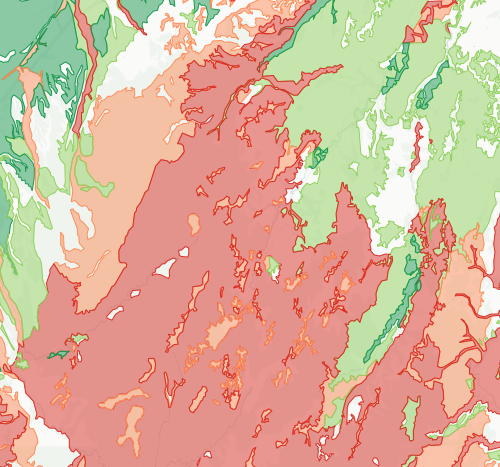
Check how likely nitrogen is to leach through your soil
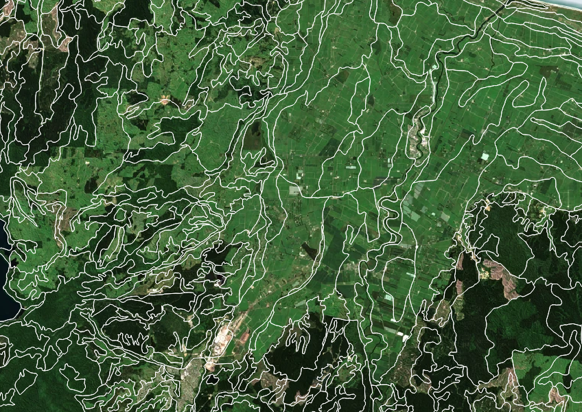
Get high-level soil classification data for Te Wai Pounamu to help with land use decisions.
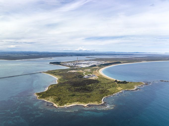
Explore Tiwai Point's unique history and the environmental challenges it faces due to sea level rise.
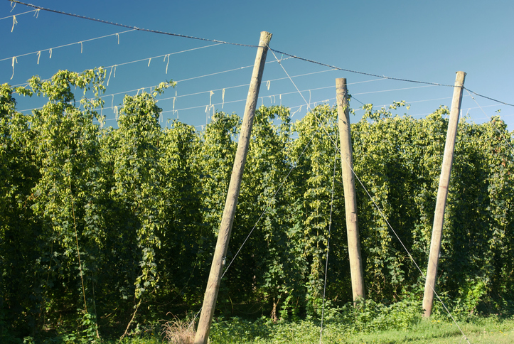
Compare how much hops the whenua in your rohe could produce each year.

See land cover in Aotearoa and how it has changed over time.
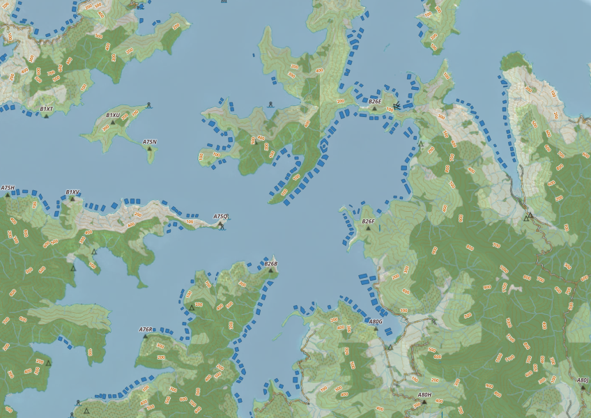
This map shows areas in Aotearoa that are used for aquatic farming.

Explore how land use affects soil and water quality across New Zealand catchments.
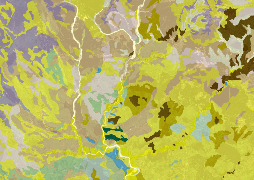
Get a better understanding of soil types on your whenua and across Aotearoa.
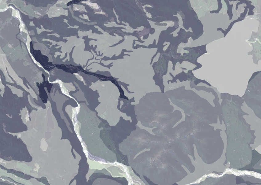
Data on gravel content in topsoil across New Zealand, useful for land use planning.
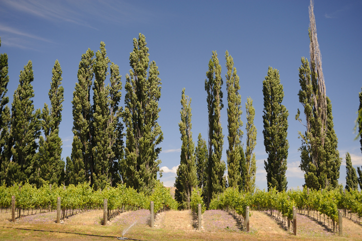
Source willow and poplar poles for erosion control in Hawke's Bay.