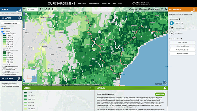
OurEnvironment NZ Land Atlas
Whenua
Biodiversity
Conservation
Forestry
Horticulture
Livestock
Planning
Soil
Sustainability
Whenua Māori
Explore New Zealand’s environment with interactive maps and data on various themes.
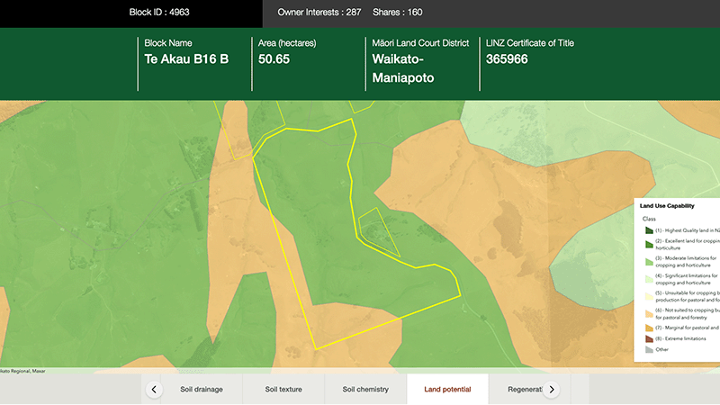
The Tupu.nz Find Your Whenua tool lets you search for your Māori freehold land block and view different regulatory, land, soil, climate, water, and land use potential information. It also connects you to fact sheets for different land uses that might be suitable in your rohe.
Explore New Zealand’s environment with interactive maps and data on various themes.
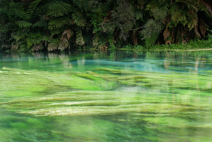
Explore resources, tools, and research that were funded by the Our Land & Water National Science Challenge.
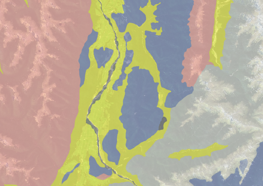
Use the NZLRI rock dataset to understand what type of rock is under your whenua.

Learn about succession, which is the legal process for becoming a Māori land owner.
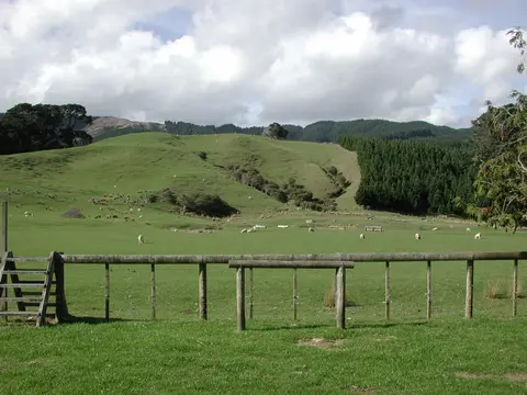
Find out how to access information about Māori land and its ownership and governance.
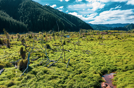
Search Māori land blocks, ownership records, and land status through the Māori Land Court.
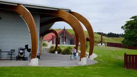
Search for funding opportunities for your whenua and get support from TPK.
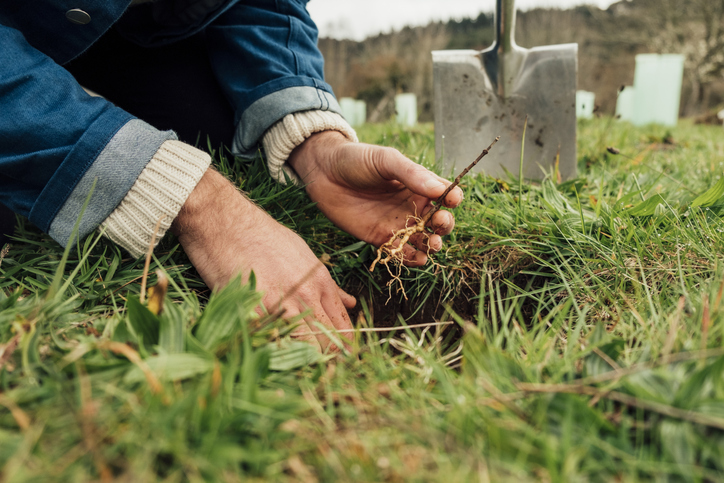
Connect with whānau, get involved with your land, and find out about your rights and responsibilities on the whenua.
Explore ways to enhance your land with family, set goals, and get expert advice.
Search for registered forest professionals in your rohe.
Poutama Trust offers funding for Māori businesses to support growth and innovative ideas.
Model how land use changes might influence water quality in your catchment.

Learn about land succession, sharing knowledge, and responsibilities with whānau.
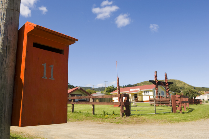
Search for iwi, hapū, and marae info by region or local authority.
Find out what rules and regulations apply to whenua in your rohe.
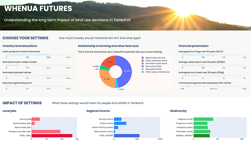
Explore land use impacts of different land uses in Tairāwhiti with this interactive forestry tool.
Matarau.nz helps whānau explore land use options for their whenua and make informed decisions.

Explore how land use affects soil and water quality across New Zealand catchments.
Explore future scenarios for the Waikato region with this interactive tool.

An interactive tool to help you see how soil chemistry affects plant growth across Aotearoa.

This widely used map estimates the land's potential for agricultural production.
Choose the right tree species for your farm woodlot based on site factors like soil, climate, and wind.