New Zealand sea-level rise (NZ SeaRise)
Climate
Adaptation
Flooding
Planning
Resilience
Risk
Sustainability
Explore sea-level rise projections for your coastline out to 2300.

This dataset shows areas at risk of flooding due to rising sea levels. The maps use MFE's sea-level rise projections to show different sea-level rise scenarios and help inform decisions on coastal safety and land use.
You can also download the dataset to use it in your own decision-making and planning tools.
Explore sea-level rise projections for your coastline out to 2300.
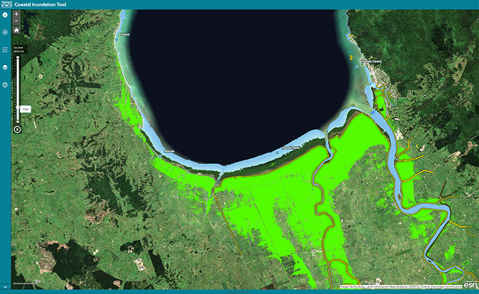
Understand coastal flooding risks in the Waikato region.

Explore sea-level rise projections for New Zealand’s coasts, with local impacts and maps available.
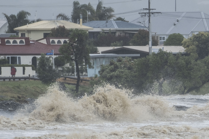
Explore interactive maps showing climate hazards for your hapori.
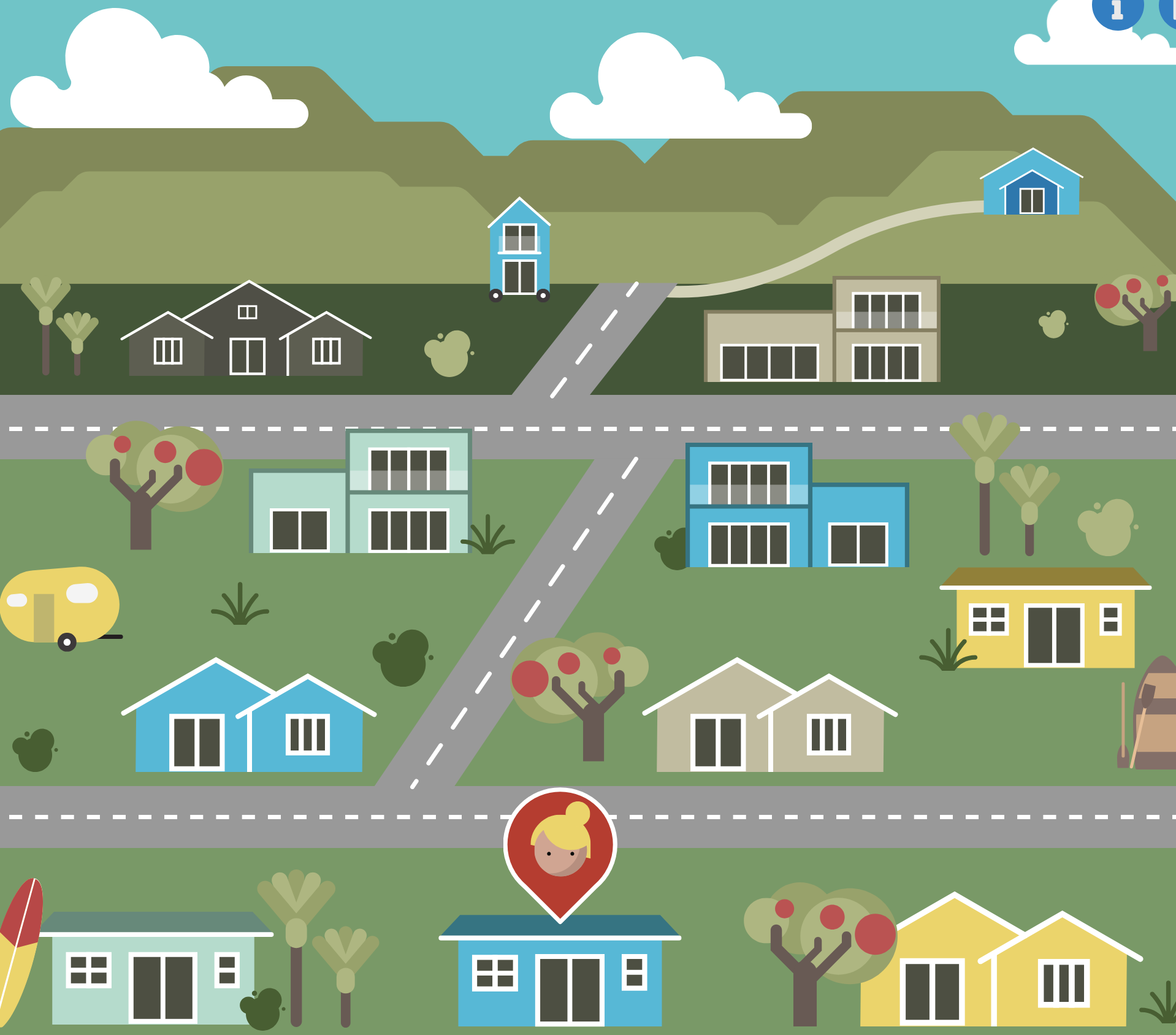
An online game about adapting your coastal property as sea levels rise.
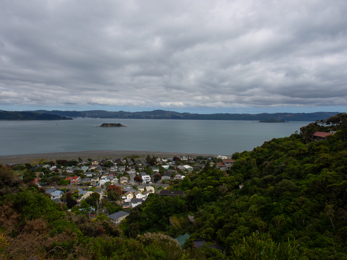
Explore Eastbourne's coastal changes, history, and sea level rise impacts.
Auckland faces climate change risks including rising temperatures, sea levels, and extreme weather.
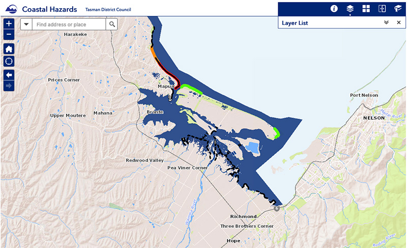
View sea-level rise and coastal erosion risks in Tasman Bay and Golden Bay.
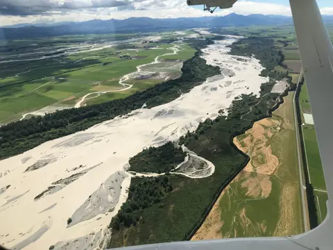
This add-in for Google Earth can help you map flooding using satellite imagery and public datasets.

Find out how many jobs wheat could support on the whenua in your rohe.
Learn how a young Northland dairy farming couple won Share Farmer of the Year.
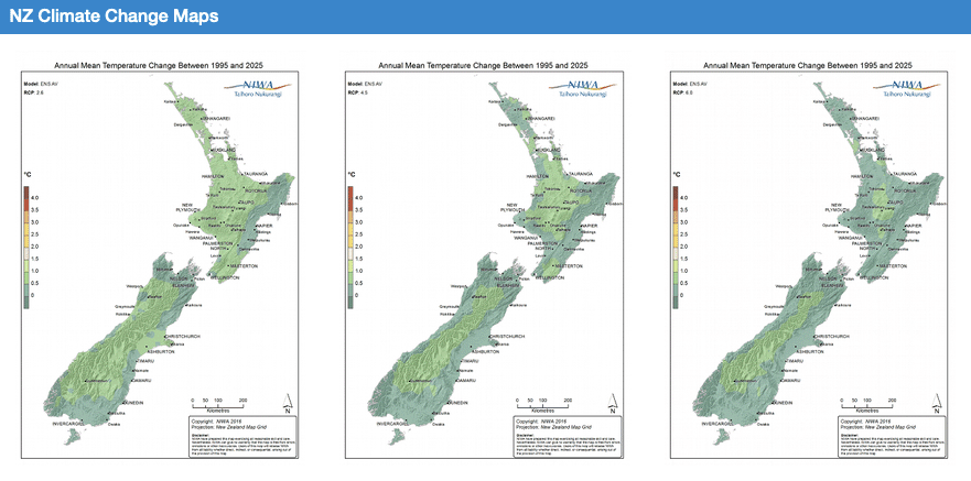
Explore how climate change will impact New Zealand's weather and environment over the coming century.
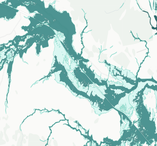
See river flood hazard zones near your Whangārei whenua
View maps showing average soil moisture deficit onset and termination dates across New Zealand.
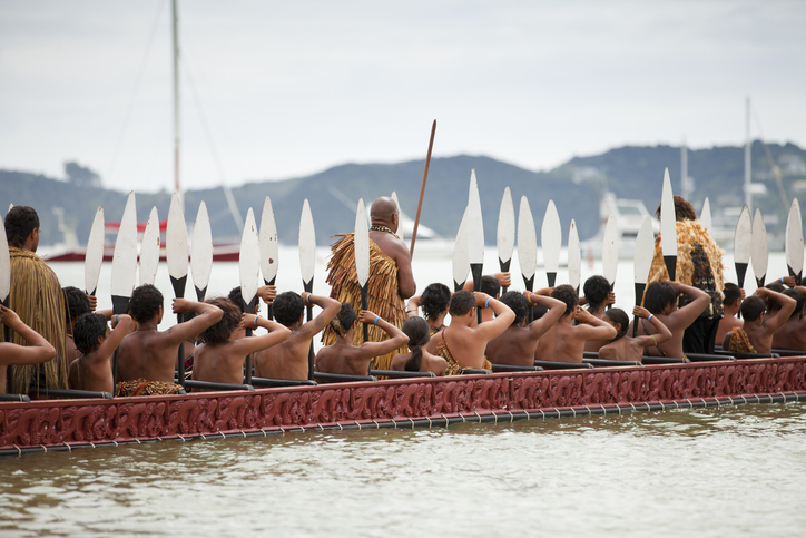
This resource focuses on community engagement for adapting to climate change in New Zealand.
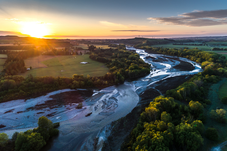
A comprehensive dataset of Aotearoa river catchments that drain to the sea.
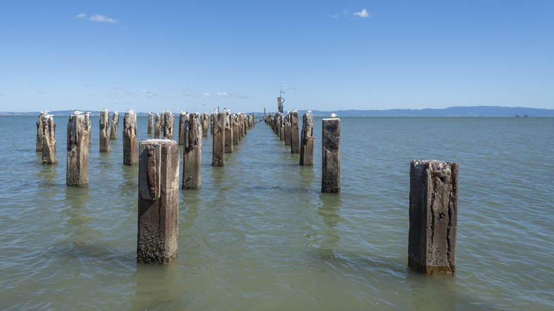
Explore Thames' unique history and the environmental challenges it faces due to sea level rise.
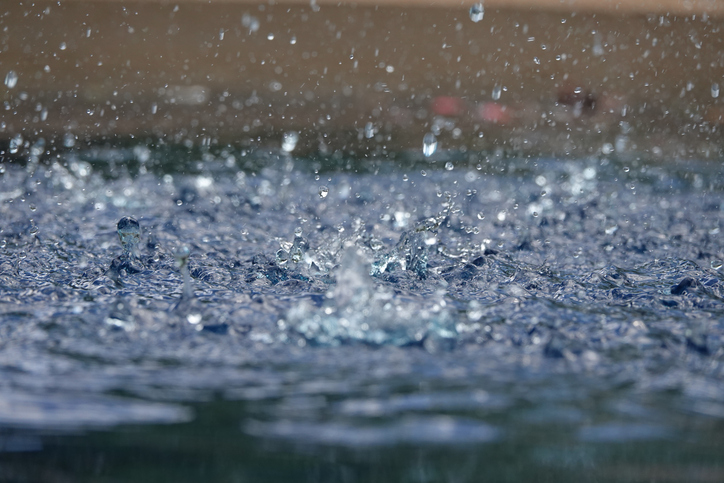
This research explains how climate change affects heavy rainfall in Aotearoa.

This map shows erosion types and estimated severity across Aotearoa.
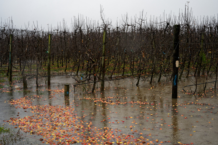
The report identifies vulnerable communities in New Zealand at risk of flooding.
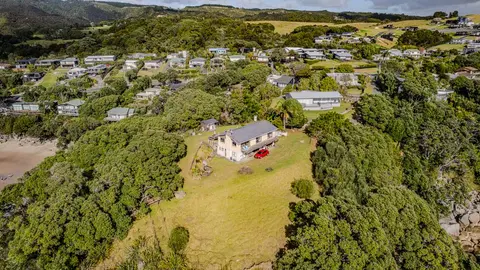
Check how coastal flooding, erosion and river flooding could affect your own property.
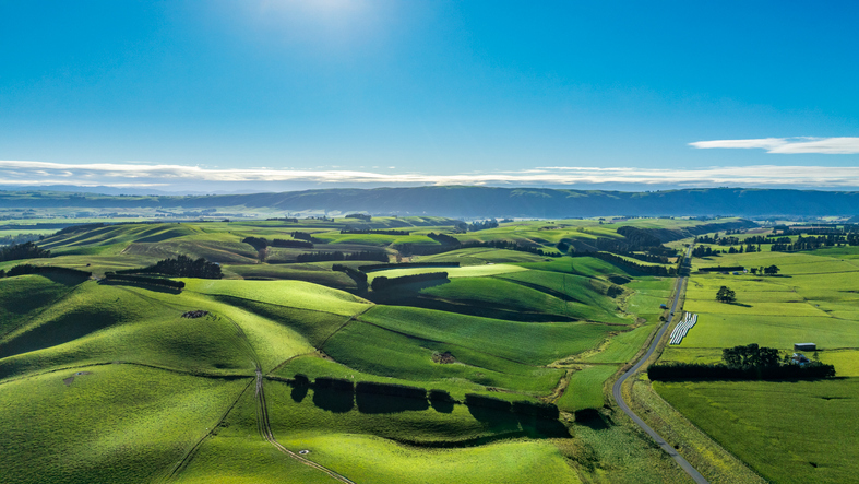
Get help to plan for climate change impacts on your whenua.
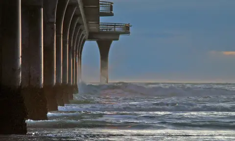
Research on adaptive tools for water infrastructure facing compounding coastal hazards.