
New Zealand Land Cover Database
Whenua
Arable crops
Farm environment plan
Forestry
Horticulture
Planning
See land cover in Aotearoa and how it has changed over time.
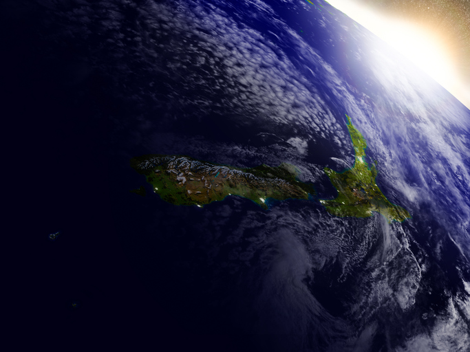
This resource explores how satellite data can benefit farmers and landowners. It explains how satellite technology helps gather useful information about land, plants, and animals. This data can help with things like tracking tree growth, monitoring for pests, and improving crop yields. Using satellite data reduces the need for costly inspections and makes it easier to verify environmental claims. Overall, this technology offers tools that support better decision-making and helps farmers adapt to climate change, enhancing productivity and sustainability in their operations.
See land cover in Aotearoa and how it has changed over time.
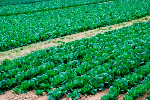
Get a different view of New Zealand's food sector's future, focusing on sustainability and innovation.
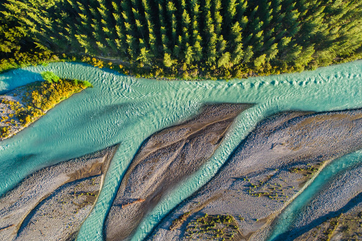
This add-in for Google Earth can help you track short-term land changes using satellite imagery and public datasets.
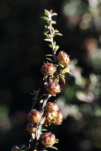
Plantation Watch Lite offers satellite imagery for land changes in Aotearoa.
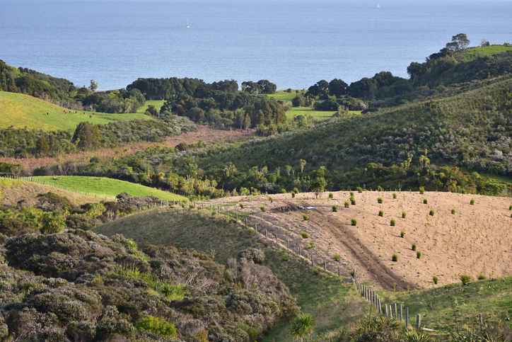
Find out how to convert marginal or depleted agricultural land into native forests for carbon farming.
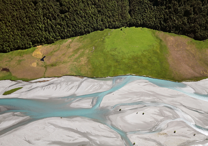
EnviroSatTools is a collection of Google Maps add-ins to help analysts map land and water using satellite imagery and public datasets.
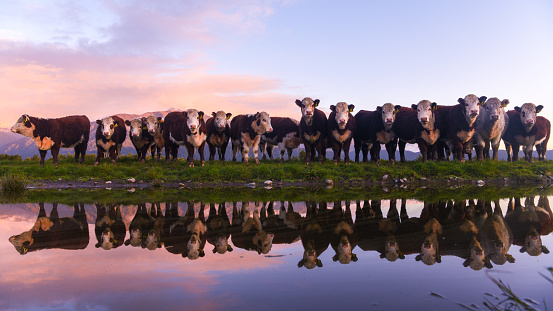
Learn how trust in technology benefits New Zealand's farming community.
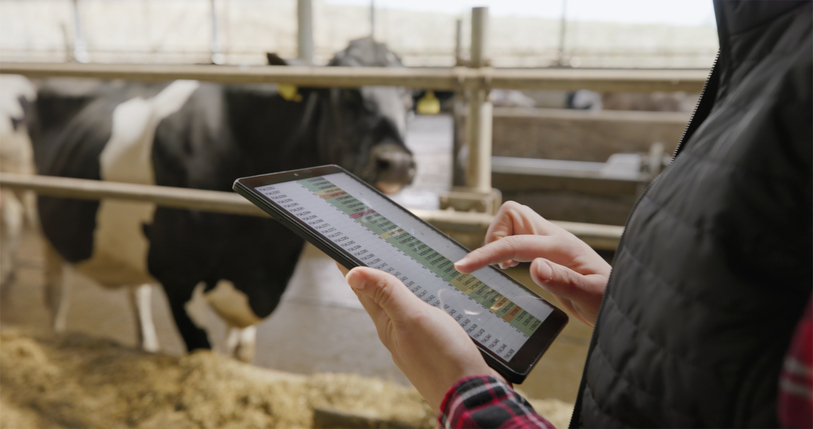
This study examines technology use in our primary sector over the past 15 years.
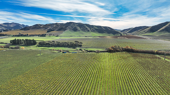
SFF Futures funds innovative projects in New Zealand's food and fibre sector.
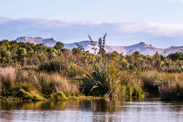
This add-in for Google Earth can help you identify wetlands using satellite imagery and public datasets.
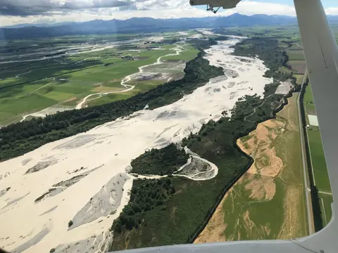
This add-in for Google Earth can help you map flooding using satellite imagery and public datasets.
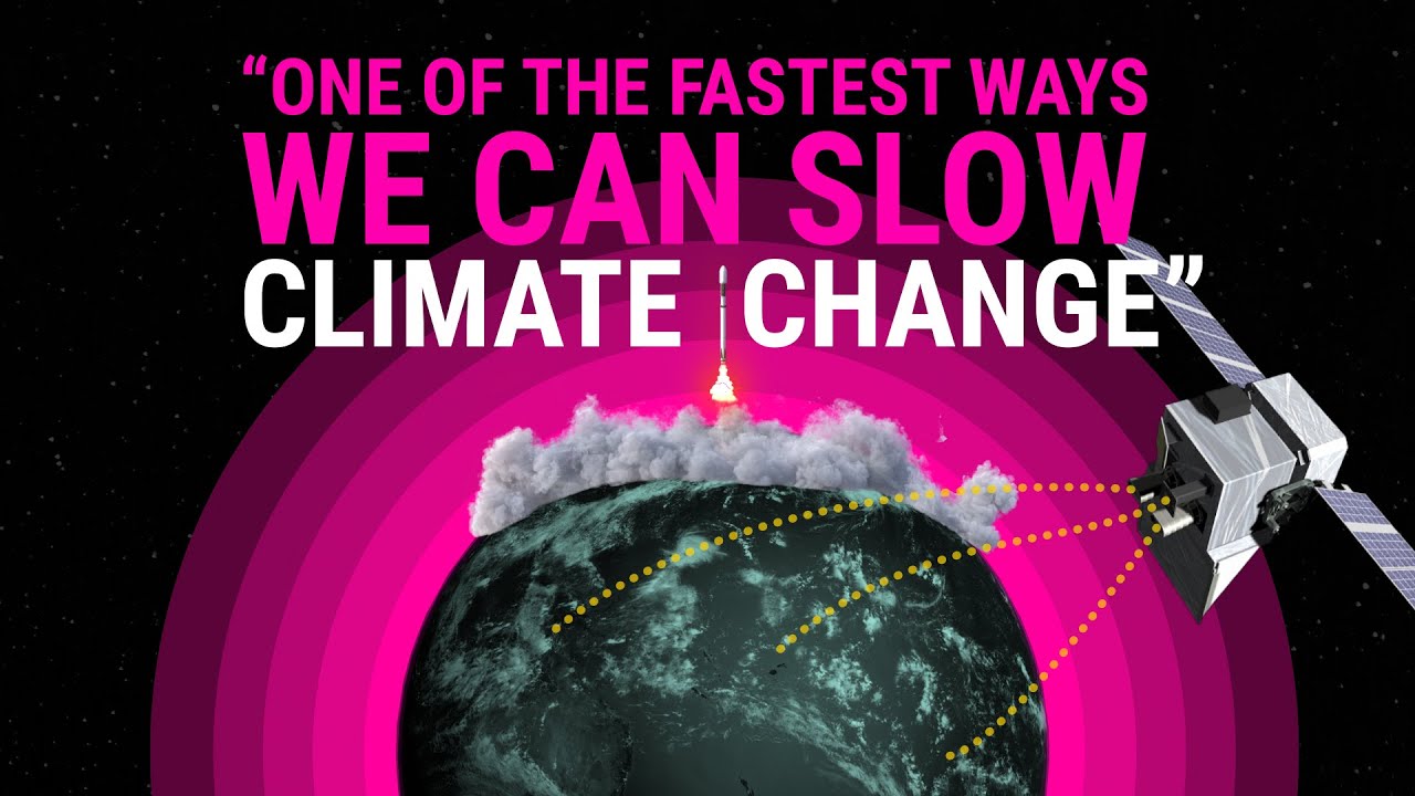
How New Zealand scientists are tracking farm methane from space.
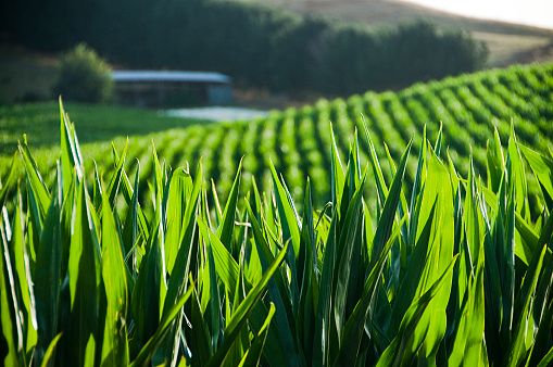
The NZ Sustainability Dashboard helps farmers track and improve their sustainability efforts.
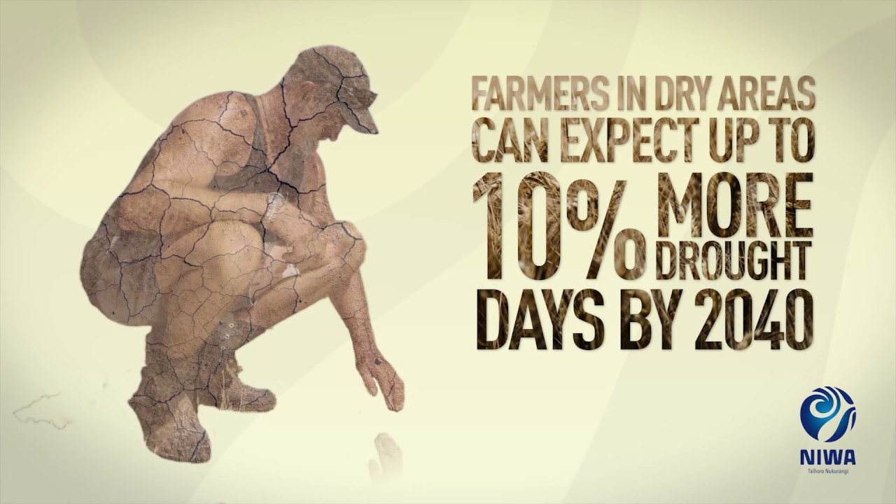
Learn about climate change in Aotearoa and how science helps us adapt.
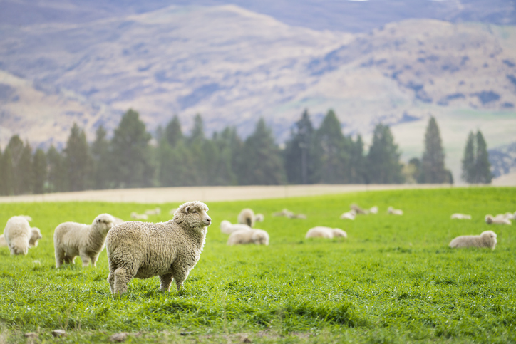
Training for rural professionals on climate change and agricultural geenhouse gas emissions in NZ.

This add-in for Google Earth can help you analyse coastal changes using satellite imagery and public datasets.
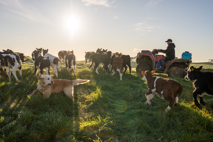
Understand how to reduce emissions and adapt to a changing climate on your farm.

Learn about the role tree planting can play in reducing climate change impacts.
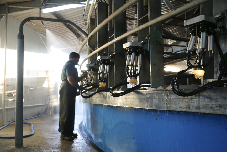
Explore national data about dairy herds and production.
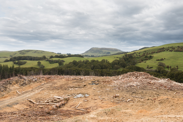
See statistics about deforestation for each local council area.
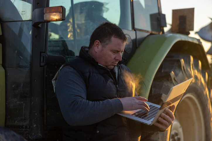
This workbook helps farmers learn Excel skills for managing farm data effectively.
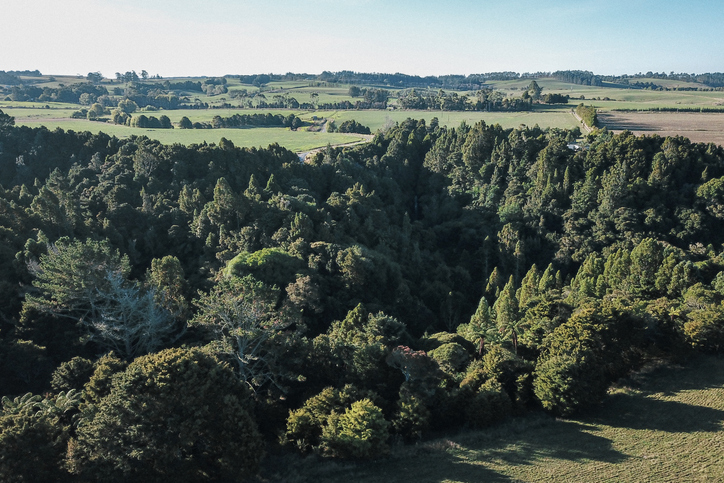
Learn how tree planting on farms can earn carbon credits in the Emissions Trading Scheme (ETS).
Poutama Trust offers funding for Māori businesses to support growth and innovative ideas.