Resources for erosion and sediment management in forestry
Whenua
Erosion
Forestry
Sustainability
Guidelines and resources for managing erosion and sediment in forestry in New Zealand.
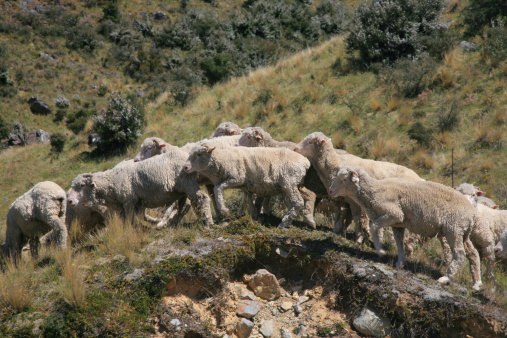
This online Erosion Susceptibility Classification (ESC) tool maps land into four colour‑coded erosion‑risk classes — green, yellow, orange and red — to show how likely areas are to erode.
It’s used to check whether plantation forestry activities are permitted or will need resource consent. Classifications are based on slope, dominant erosion process (for example wind or water) and rock type.
The ESC is available to view online and the dataset can be downloaded (Shapefile, KML, Excel). The current release is from March 2018 and covers the North and South Islands only. Draft operational planning guidance and finer‑scale mapping are also provided as PDFs.
Guidelines and resources for managing erosion and sediment in forestry in New Zealand.
Learn how to manage environmental impacts when harvesting your forests.
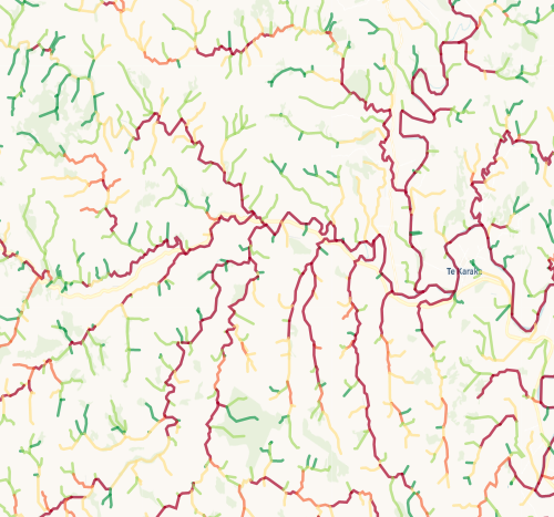
Check which streams on your whenua are most vulnerable to bank erosion.
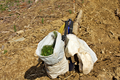
Find out about the resource consents needed for forestry activities in your rohe.
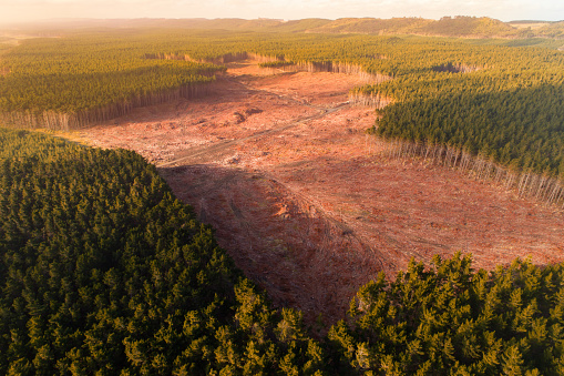
Learn about New Zealand's new rules for managing commercial forestry and its environmental impact.
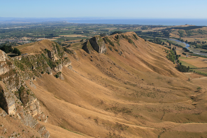
Hawke's Bay faces erosion issues. Planting trees can help prevent soil loss and improve water quality.
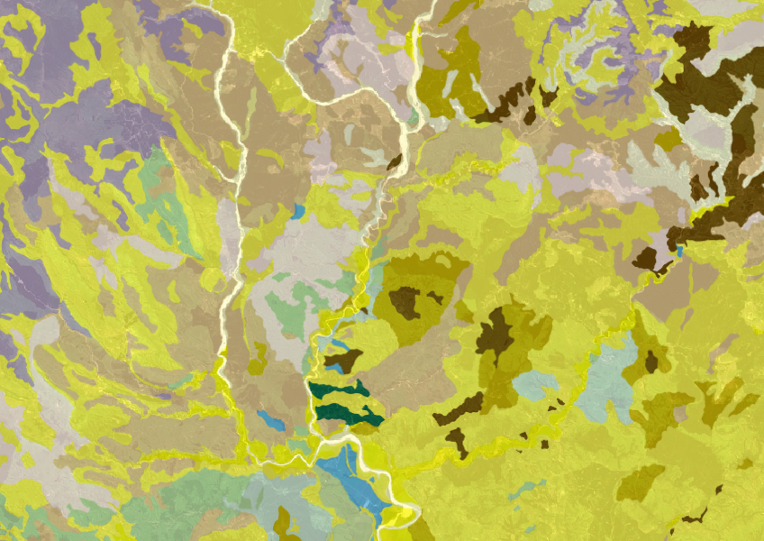
Get a better understanding of soil types on your whenua and across Aotearoa.
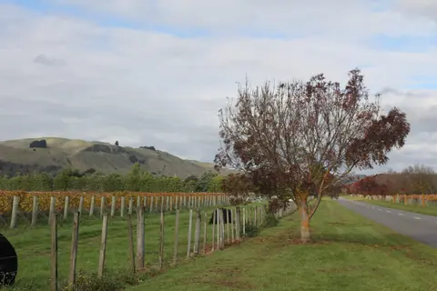
Get high-level soil classification data for Te Ika a Māui to help with land use decisions.
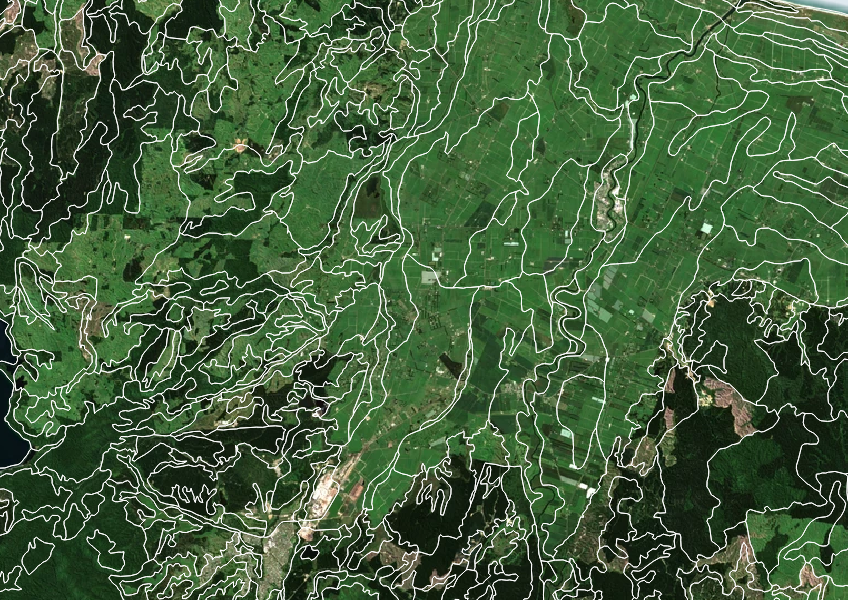
Get high-level soil classification data for Te Wai Pounamu to help with land use decisions.
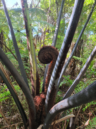
The IFPD is a National database recording growth and management of New Zealand’s planted indigenous forests.
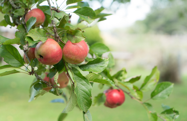
See how well suited the whenua in your rohe is to growing apples.
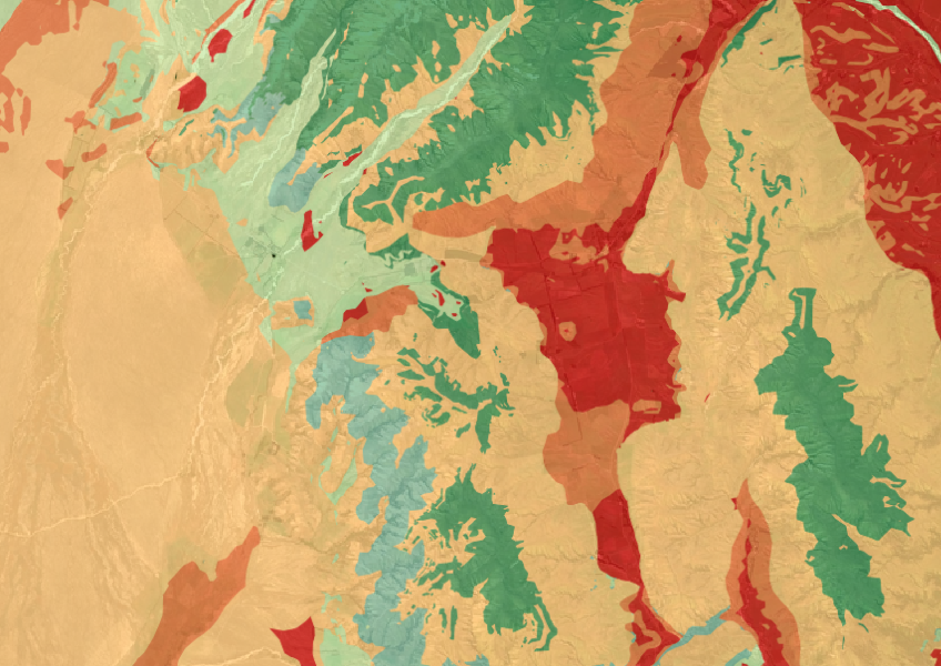
The Threatened Environments Classification can help you better understand the health of your local ecosystems.

This widely used map estimates the land's potential for agricultural production.

Explore coastal flood maps to assess the potential impacts of sea-level rise in your rohe.
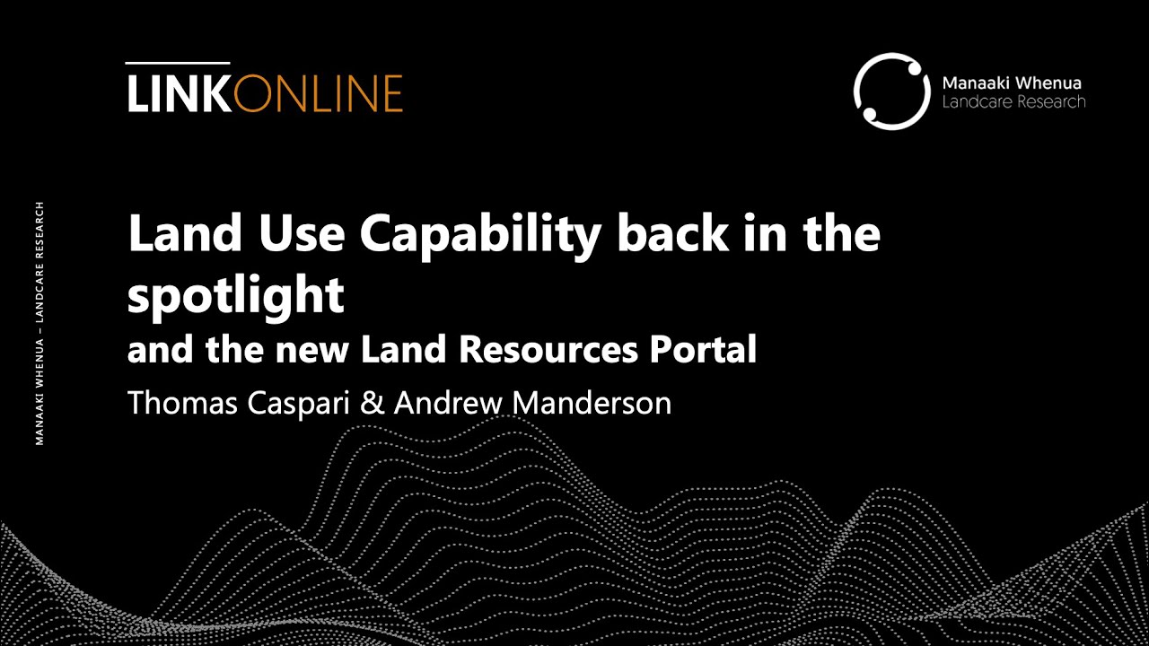
Webinar on NZ land use classes and the new Land Resources Portal for maps, guides, and data.
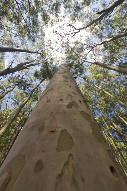
See how suited your whenua is for planting Eucalyptus fastigata as a forestry crop.
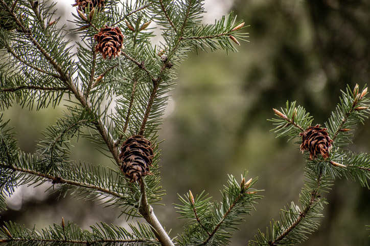
Check how suited your whenua is for planting Douglas fir as a forestry crop.
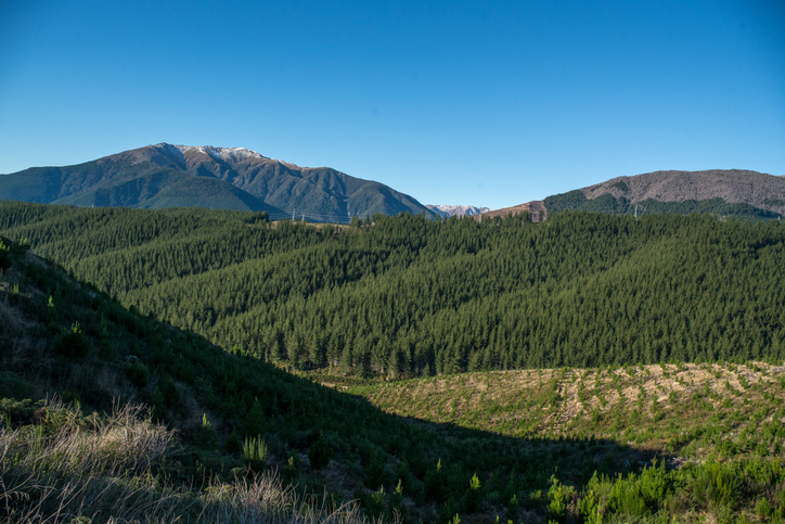
Get guidance on mapping your forest areas to assess eligibility for the Emissions Trading Scheme.
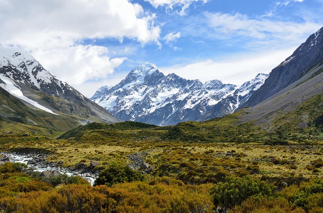
This report classifies Aotearoa ecosystems into 152 types to help with policy and decision-making.
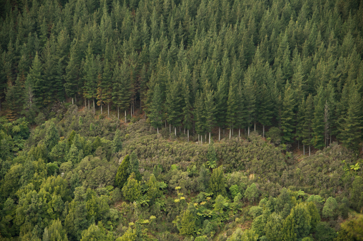
Explore how suited your whenua is for planting radiata pine as a forestry crop.
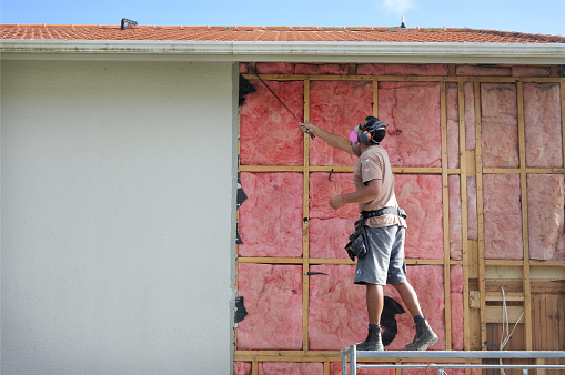
This guide helps you navigate resource and building consent processes in New Zealand.
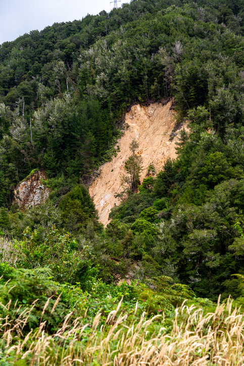
Learn how to control erosion in forestry through careful planning and tree selection.

This map shows erosion types and estimated severity across Aotearoa.