
Land Use and Carbon Analysis System (LUCAS) Land Use Map
Whenua
Emissions reduction
Forestry
Policy
Sequestration
Sustainability
LUCAS is a national dataset that tracks carbon sequestration and land use change over time.
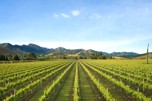
This report is a guide to the Whitiwhiti Ora Data Supermarket itself, describing the range of datasets available for making decisions about land use, greenhouse gases, water and farm economics.
It is an index rather than a dataset: it explains what each type of resource covers and how the pieces fit together, so you can find the dataset that matches the decision you are making.
LWP put the report together for the WWO team to help people get the most out of the wider collection.
LUCAS is a national dataset that tracks carbon sequestration and land use change over time.
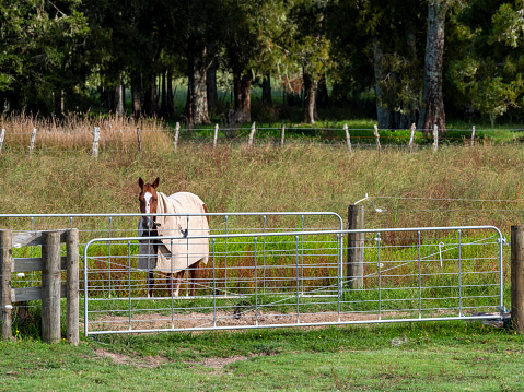
Find science-backed actions to cut greenhouse gas emissions on your farm.
Explore resources, tools, and research that were funded by the Our Land & Water National Science Challenge.
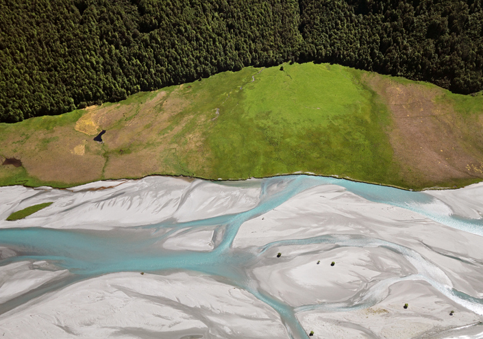
EnviroSatTools is a collection of Google Maps add-ins to help analysts map land and water using satellite imagery and public datasets.
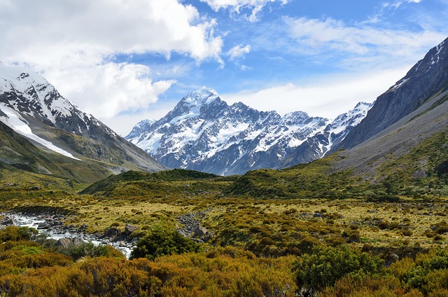
This report classifies Aotearoa ecosystems into 152 types to help with policy and decision-making.
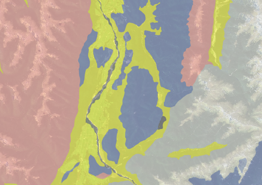
Use the NZLRI rock dataset to understand what type of rock is under your whenua.
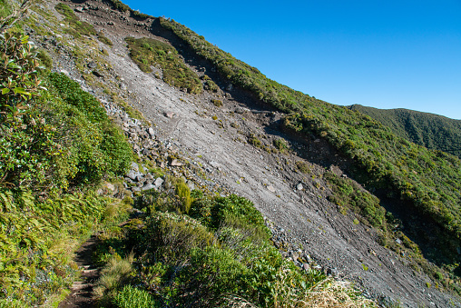
Find links to the main models used to estimate erosion and sediment in Aotearoa.

Find links to tools for choosing the right tree species for your site.
Get your head around the basics of farm planning.
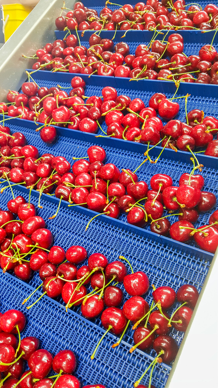
Find out how many jobs cherries could support on the whenua in your rohe.
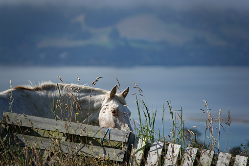
A comprehensive dataset that tracks how rural land is used across Aotearoa.
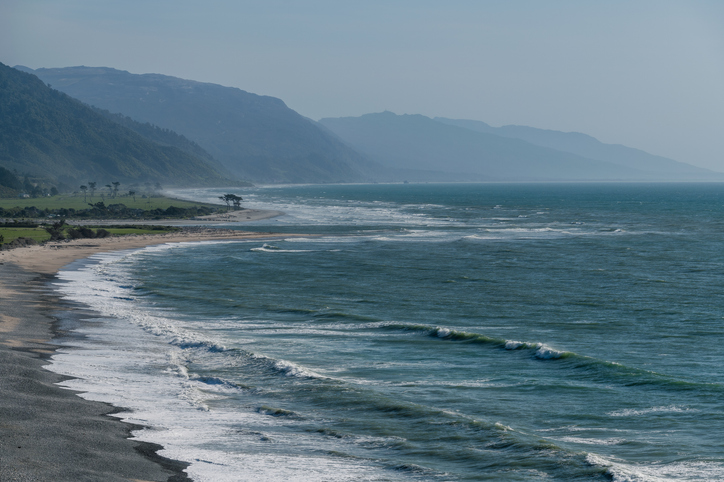
The SOE report shows the West Coast's natural resource trends and areas for improvement.
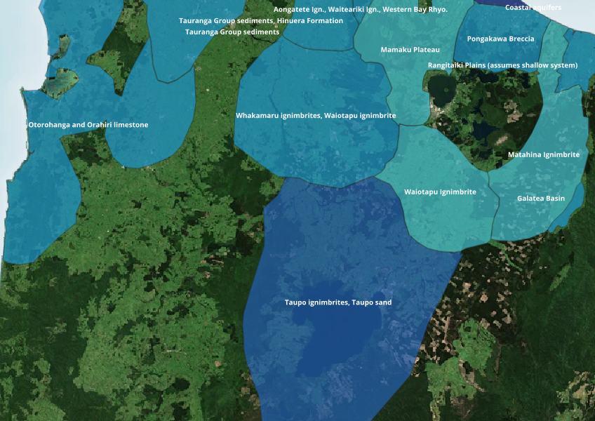
Find out where you might be able to access groundwater in your rohe.

Estimate staff needs for various land uses with this interactive dashboard.
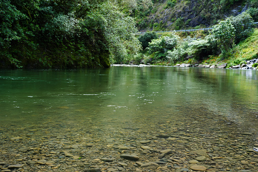
Research about different methods for using climate data for better decision-making.
See how susceptible your soil and climate are to nitrogen loss each month.
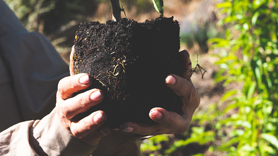
Matarau.nz helps whānau explore land use options for their whenua and make informed decisions.
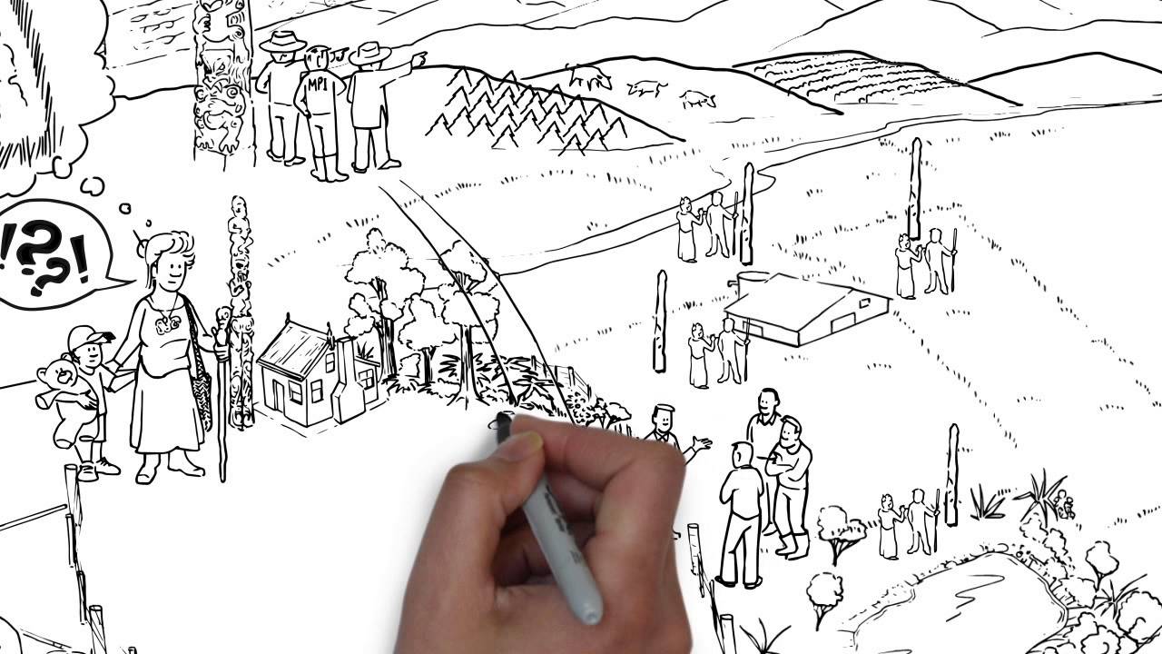
Six steps to improve the performance of your whenua Māori enterprise.
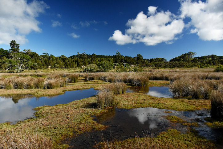
Explore and download spatial data related to Ngā Whenua Rāhui protected areas.
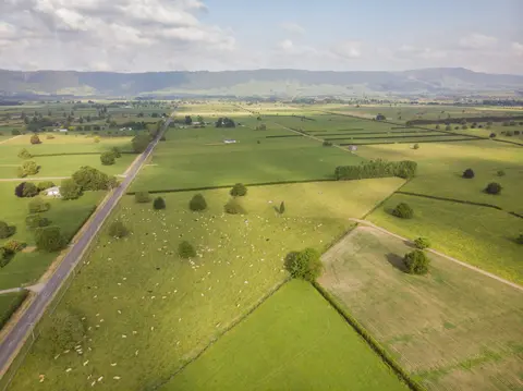
Explore the tools that help you map where your farm's emissions come from.
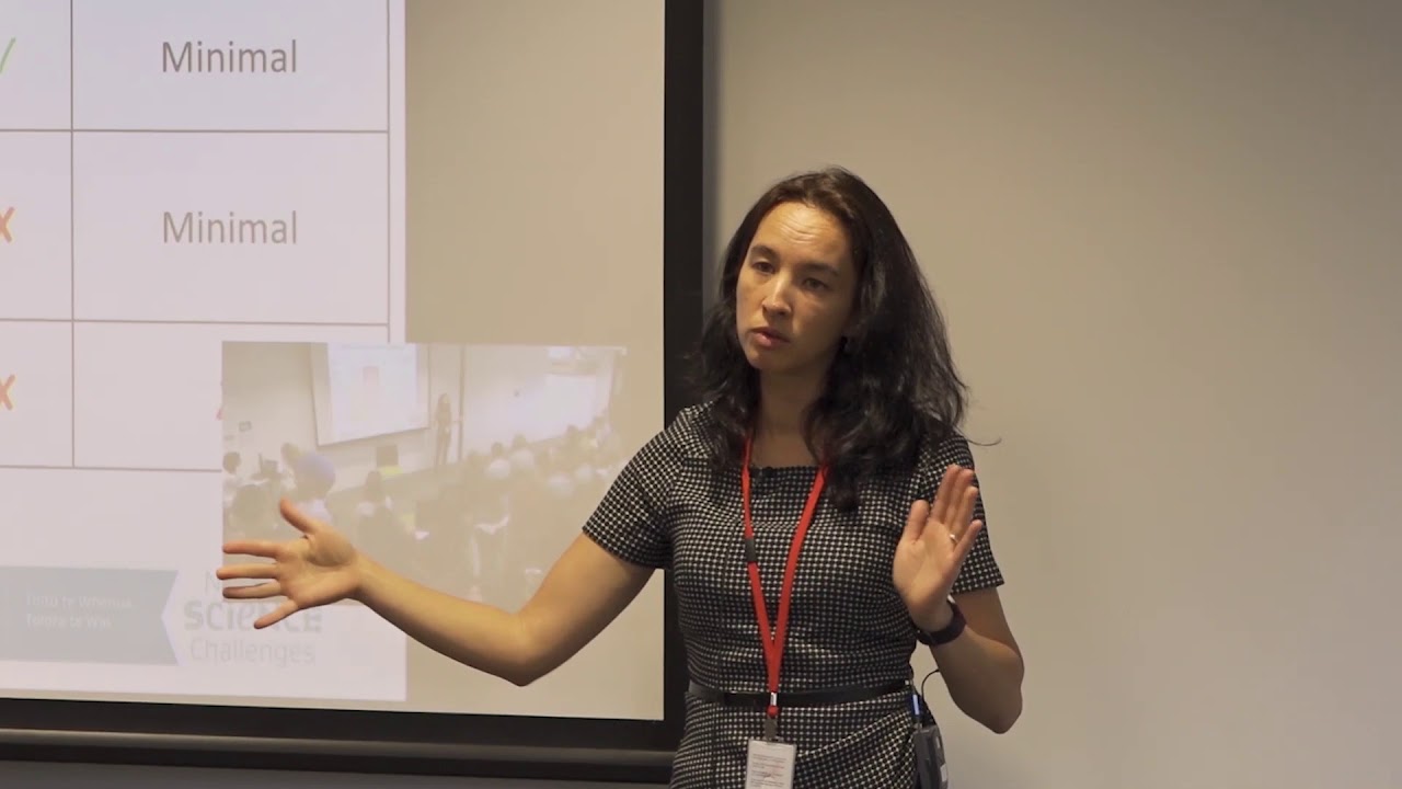
Hear about how climate change could reshape agriculture and land use decisions in Aotearoa.
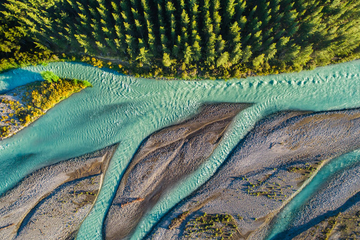
This add-in for Google Earth can help you track short-term land changes using satellite imagery and public datasets.