Infosheet: Where to go for water data?
Climate
Adaptation
Water
Find data on how climate change affects water in Aotearoa’s rivers and groundwater.
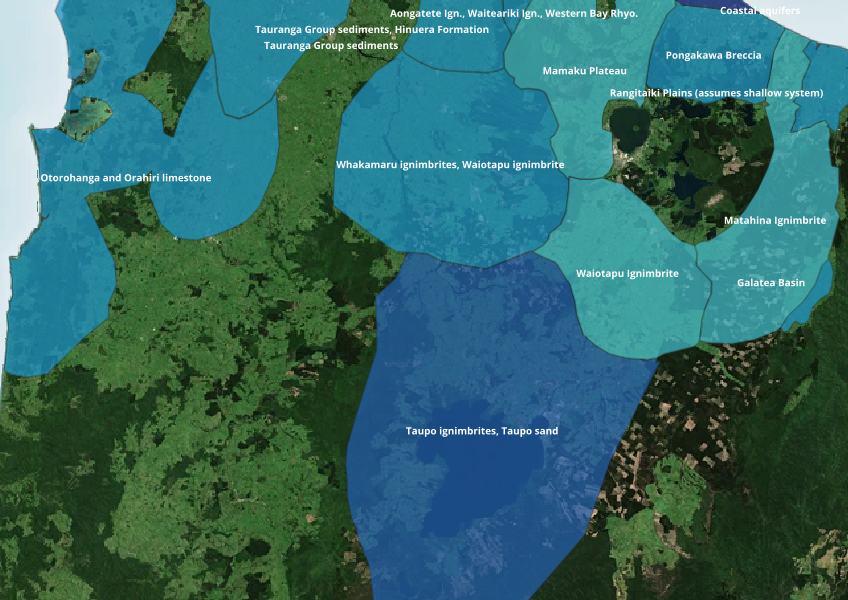
Aquifers are underground layers of rock or sediment that can provide usable water, for example from a bore.
This dataset shows the location and extent of aquifers in your area which can be a useful first step for understanding where you might be able to access groundwater and what land uses might be more viable. The dataset was created by combining a variety of data sources including regional council data and scientific studies.
It's important to note that your Council may have rules about accessing these water sources so you should always check before making land use decisions.
Data supplied by Ministry for the Environment (MfE) licensed under CC BY 4.0.
Find data on how climate change affects water in Aotearoa’s rivers and groundwater.
Check the predicted redox state of groundwater beneath your rohe.
Find out what water you can take in Manawatū-Whanganui without consent.
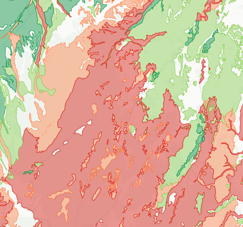
Check how likely nitrogen is to leach through your soil

LUCAS is a national dataset that tracks carbon sequestration and land use change over time.
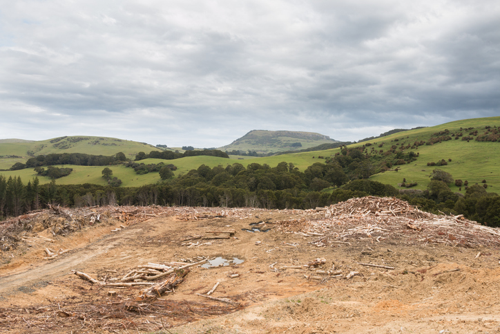
See statistics about deforestation for each local council area.
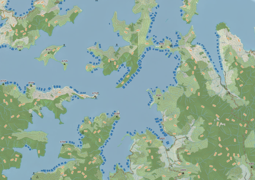
This map shows areas in Aotearoa that are used for aquatic farming.
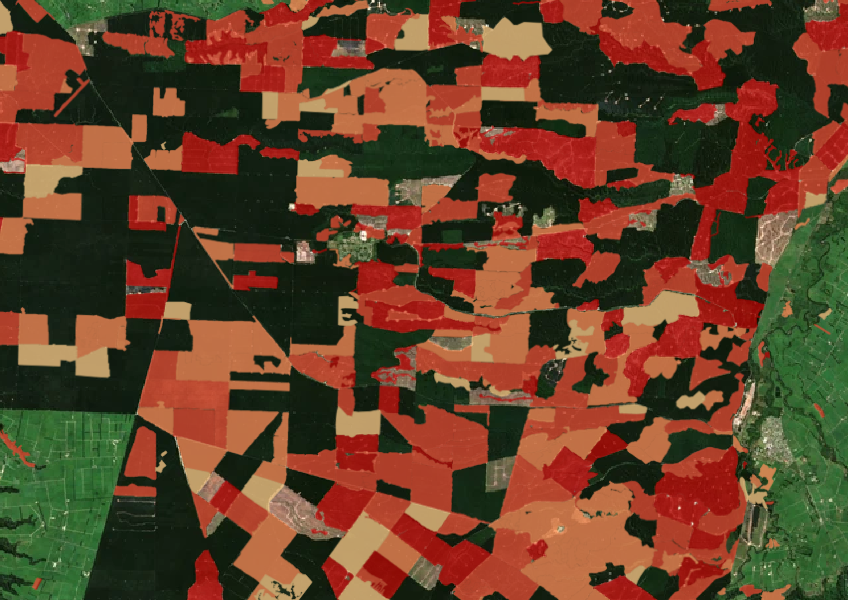
See the extent of forested land cleared between 2008 and 2020 shaded by year.
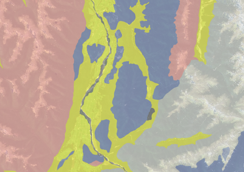
Use the NZLRI rock dataset to understand what type of rock is under your whenua.
See how recent rainfall in your rohe compares to historic records - a useful indicator for drought planning.
A comprehensive dataset of Aotearoa farm financial, production, and environmental data for research use.
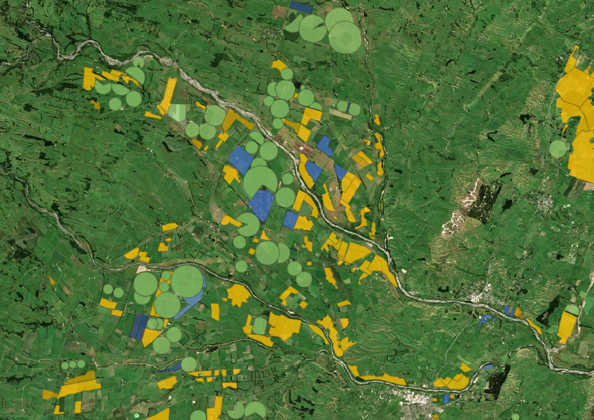
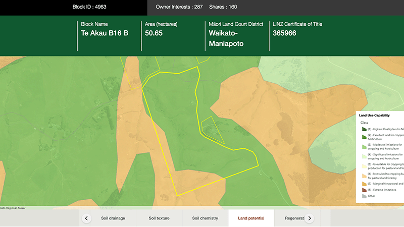
Explore different regulatory, soil, water, and land potential maps for your whenua.
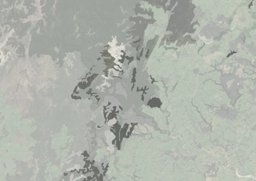
Understand how rocky your whenua is so you can make better land use decisions.
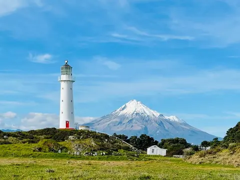
Check live rainfall, river level and water quality readings across Taranaki.
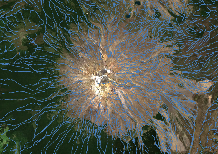
Download a dataset of named and unnamed river lines data for use in your analysis.
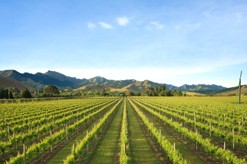
Get an overview of the datasets and tools in the WWO Data Supermarket.
Find out what rules and regulations apply to whenua in your rohe.

Explore coastal flood maps to assess the potential impacts of sea-level rise in your rohe.
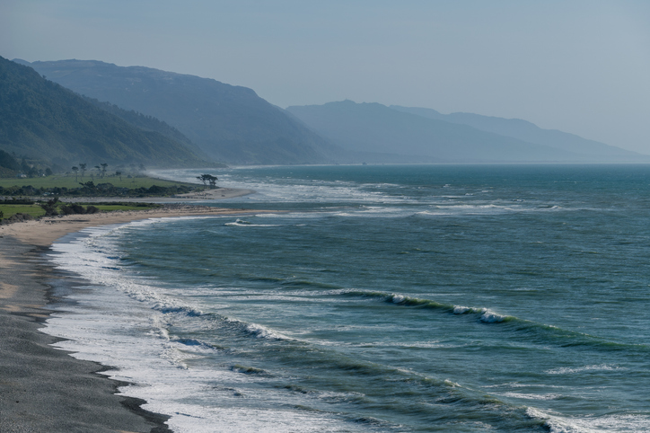
The SOE report shows the West Coast's natural resource trends and areas for improvement.
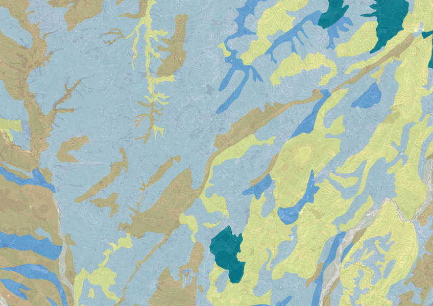
Explore soil drainage classes for land use and growth insights.
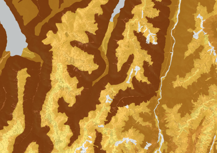
This dataset shows soil cation exchange capacity which can help you understand soil health.