On-farm actions for land use change
Climate
Agribusiness
Arable crops
Emissions reduction
Horticulture
Planning
Understand how land use change can lower greenhouse gas emissions on farms.
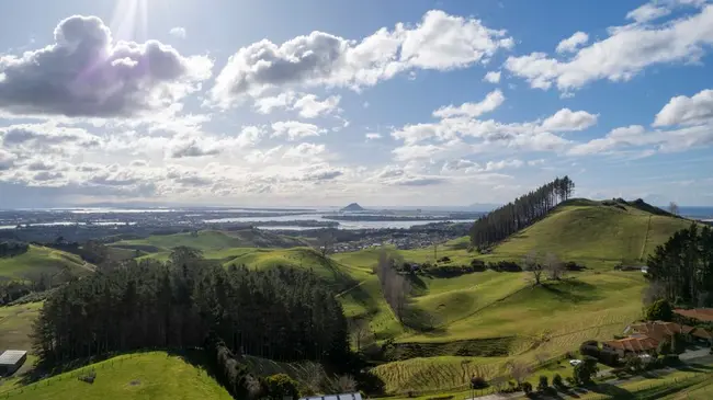
Land use in Aotearoa has changed since people first arrived, and climate change and water pollution will force more change.
This resource uses interactive maps to show the findings of the Parliamentary Commissioner for the Environment's Going with the grain report. The maps show warming from farm methane and fossil fuels, the catchments where excess nitrogen, sediment and phosphorus mean land use has to change, and the loss of forest and wetland. It also shows why single farms cannot manage a whole catchment alone, and the what the Commissioner proposes as a way forward.
Understand how land use change can lower greenhouse gas emissions on farms.
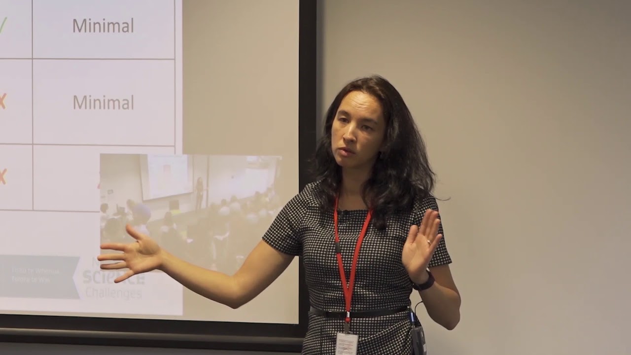
Hear about how climate change could reshape agriculture and land use decisions in Aotearoa.

Explore how land use affects soil and water quality across New Zealand catchments.

Using radiometrics and local knowledge to map how Southland's landscape affects water quality.
Read the report behind Aotearoa's freshwater E. coli, sediment and nutrient maps.
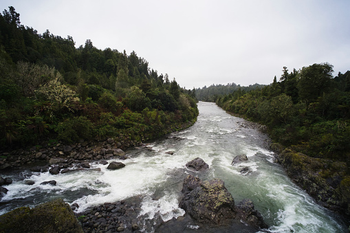
Compare nitrogen and phosphorus levels in your rivers against national bottom lines.
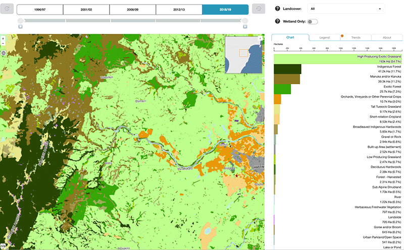
Explore how land cover has changed in Aotearoa over the past 25 years.
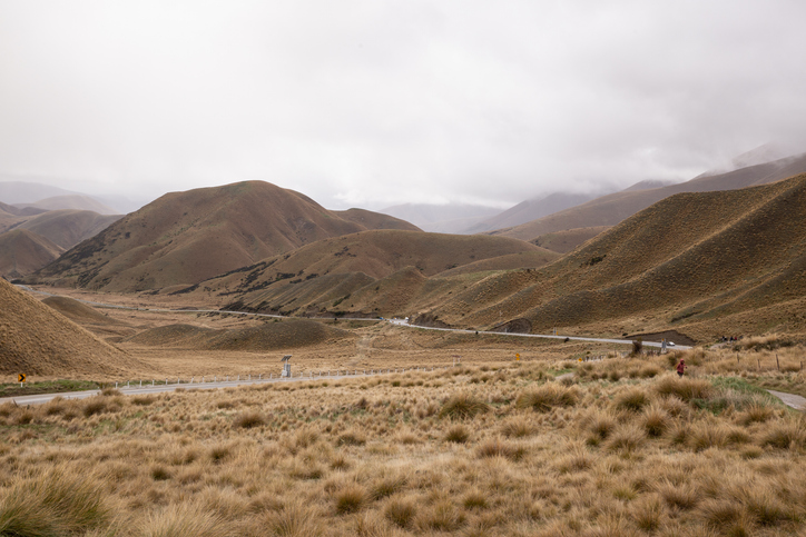
Find out how pasture growth on your land could change as the climate warms.
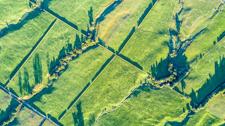
Read about the impacts different Aotearoa land use change scenarios might have on cliamte and socio-economic outcomes.
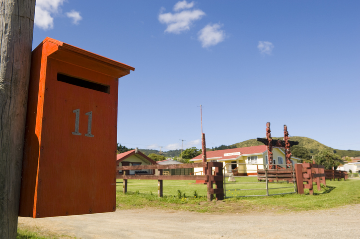
Search for iwi, hapū, and marae info by region or local authority.

See the operating profit vining peas could earn on the whenua in your rohe each year.

A report on New Zealand's livestock methane emissions and their impacts.
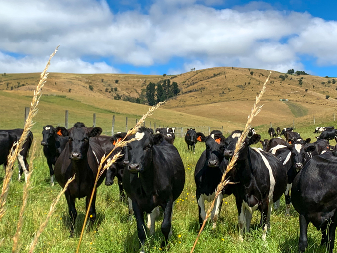
See how many hot days dairy cows in your rohe could face as the climate warms.
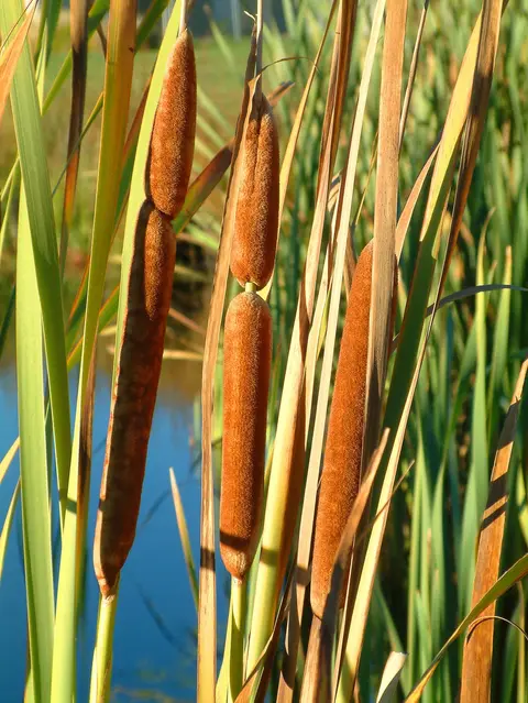
An interactive key to identify different wetlands that can be found in Aotearoa.
The report shows how Māori land use for farming changed between 2006 to 2016.
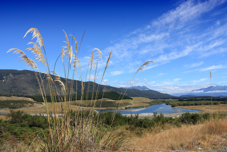
Factsheets about river catchments in Murihiku | Southland.
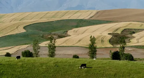
See how water shortfalls under maize could change as the climate warms.
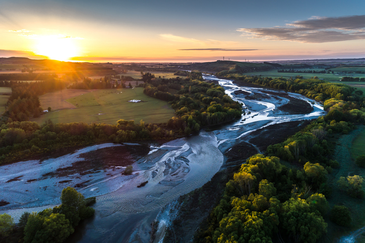
A comprehensive dataset of Aotearoa river catchments that drain to the sea.
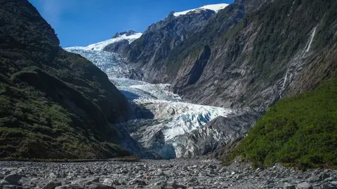
Learn how climate change works, through both science and te ao Māori.
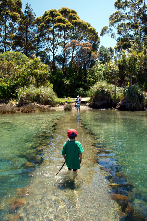
See how land-use and farm practice changes on your land can impact water quality across the catchment.
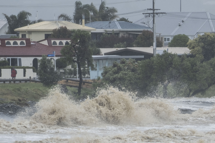
Explore interactive maps showing climate hazards for your hapori.
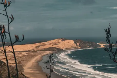
Learn how sea level rise, coastal erosion and river flooding are changing Northland.
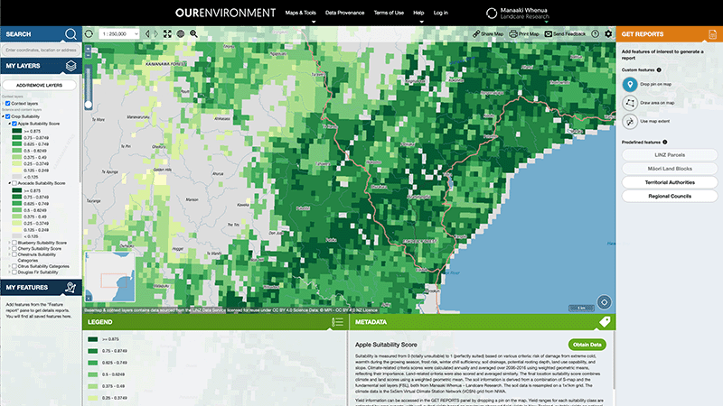
Explore New Zealand’s environment with interactive maps and data on various themes.