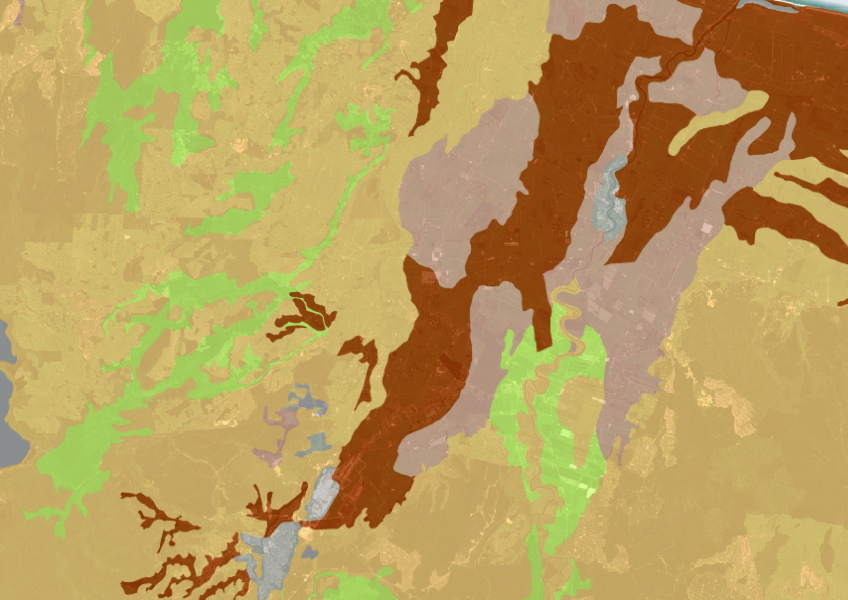
Fundamental Soils Layer (FSL) - Soil Temperature Regime
Whenua
Soil
Sustainability
A dataset that estimates soil temperature across the motu.
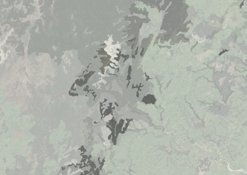
The Fundamental Soils Layer (FSL) for Rock Outcrops and Surface Boulders helps you understand the whenua you work on. It shows how rocky the soil and whenua in your rohe is, which can make access and some types of land use more expensive or difficult.
The data comes from soil surveys done over several decades and combines information from different regional databases.
Keep in mind that this information is a general guide, and you should use it alongside other soil measures to get a complete picture of your land.
Data sourced from Manaaki Whenua Landcare Research licensed under CC BY 4.0.
A dataset that estimates soil temperature across the motu.
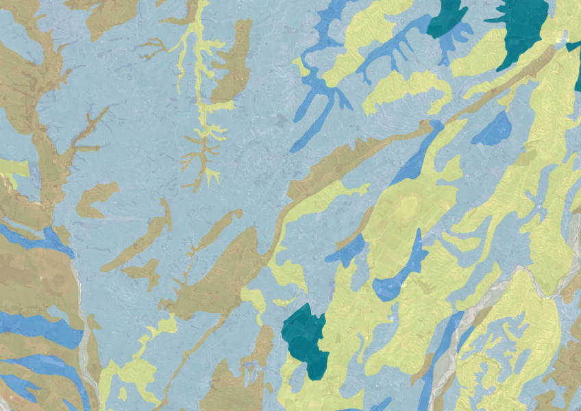
Explore soil drainage classes for land use and growth insights.
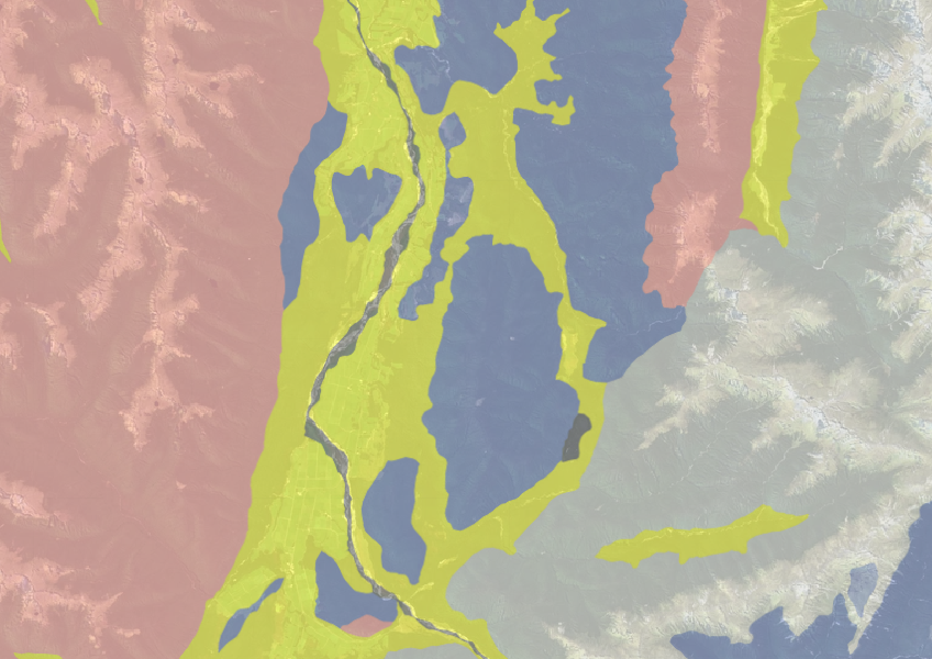
Use the NZLRI rock dataset to understand what type of rock is under your whenua.
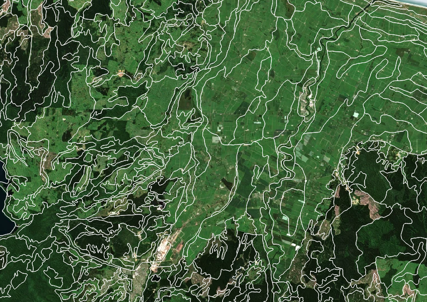
Get high-level soil classification data for Te Wai Pounamu to help with land use decisions.
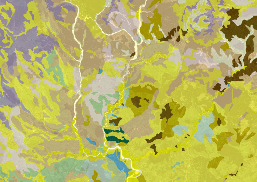
Get a better understanding of soil types on your whenua and across Aotearoa.
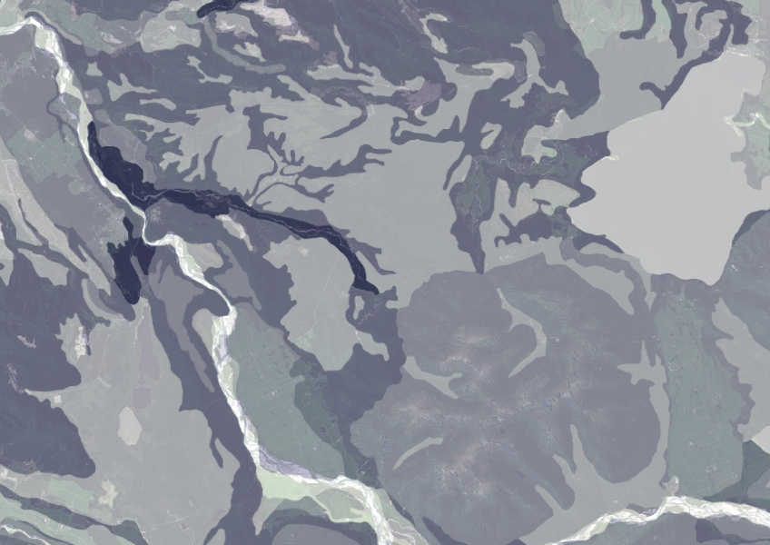
Data on gravel content in topsoil across New Zealand, useful for land use planning.

This map shows erosion types and estimated severity across Aotearoa.

This widely used map estimates the land's potential for agricultural production.
Learn how soil carbon impacts climate change and things you can do on your farm to offset your emissions.
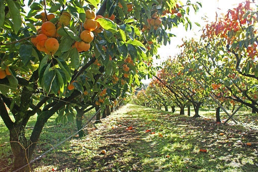
This report explains how to estimate the economics of land uses like horticulture and dairy.
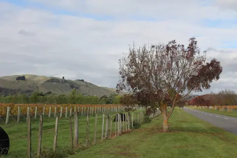
Get high-level soil classification data for Te Ika a Māui to help with land use decisions.
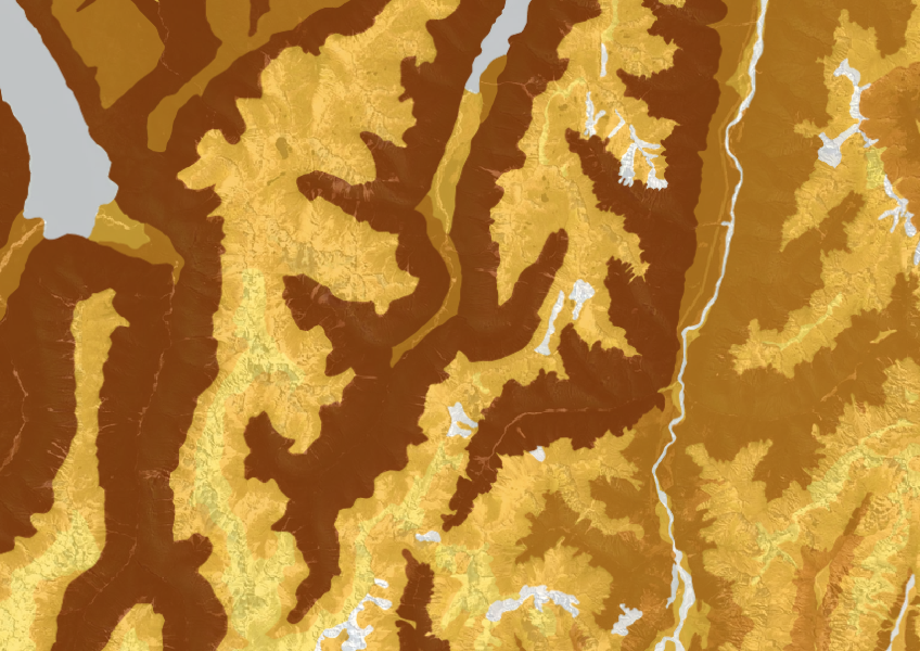
This dataset shows soil cation exchange capacity which can help you understand soil health.
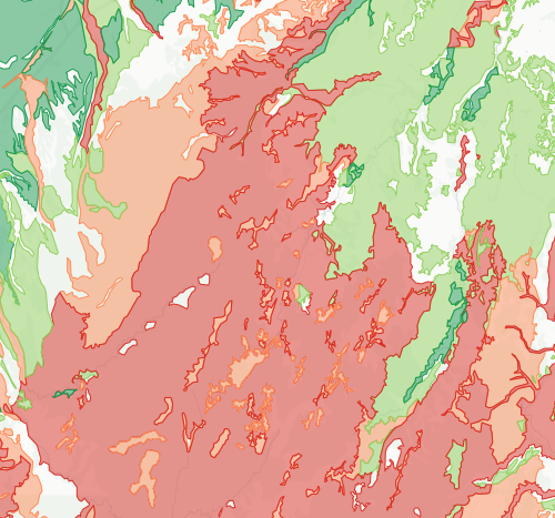
Check how likely nitrogen is to leach through your soil
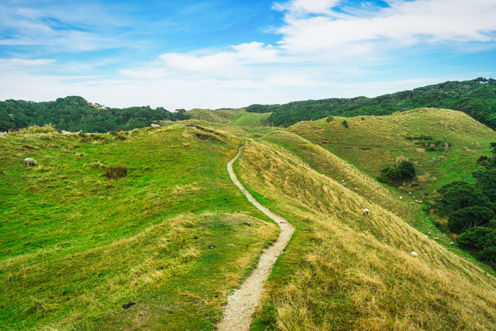
This study models soil loss, which is a major issue for Aotearoa farms and the environment.

Explore how land use affects soil and water quality across New Zealand catchments.
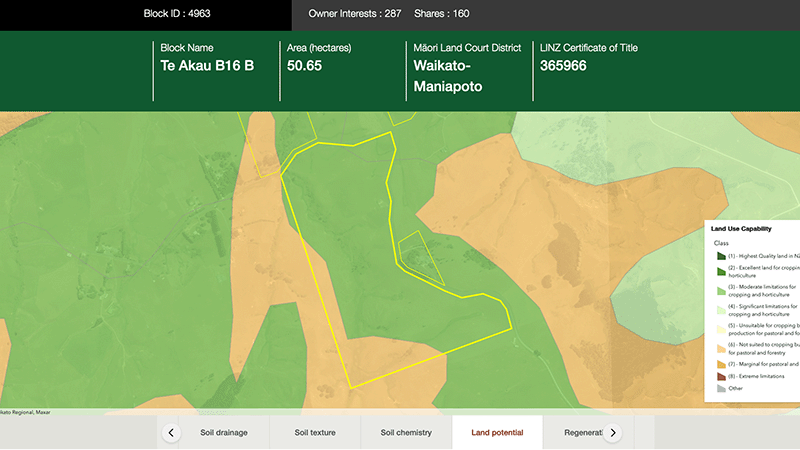
Explore different regulatory, soil, water, and land potential maps for your whenua.
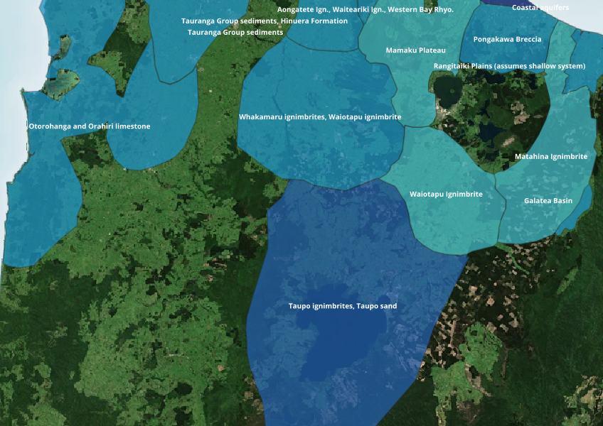
Find out where you might be able to access groundwater in your rohe.
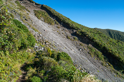
Find links to the main models used to estimate erosion and sediment in Aotearoa.
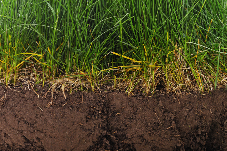
Find factsheets about how to manage different Northland soils.
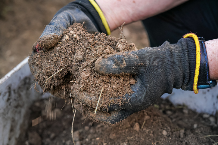
Learn about soil's role in farming and improve soil management for better production.
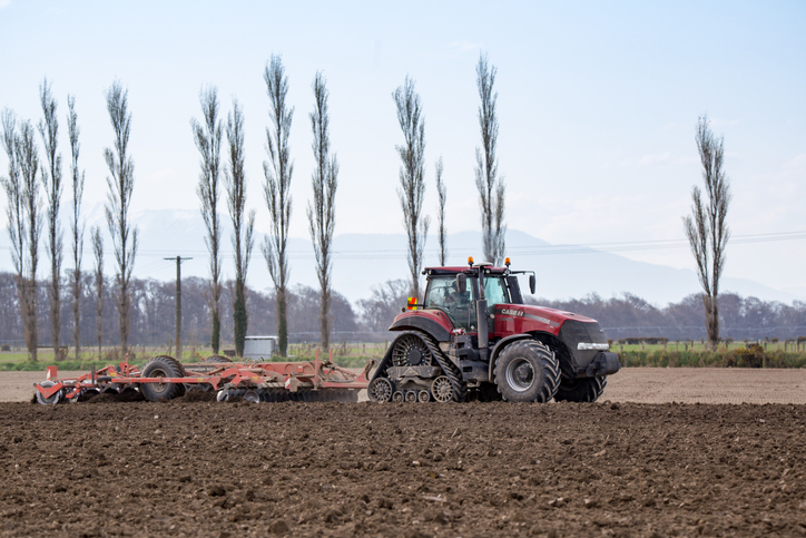
Learn about soil types, assessment, and management for sustainable sheep and beef farming.
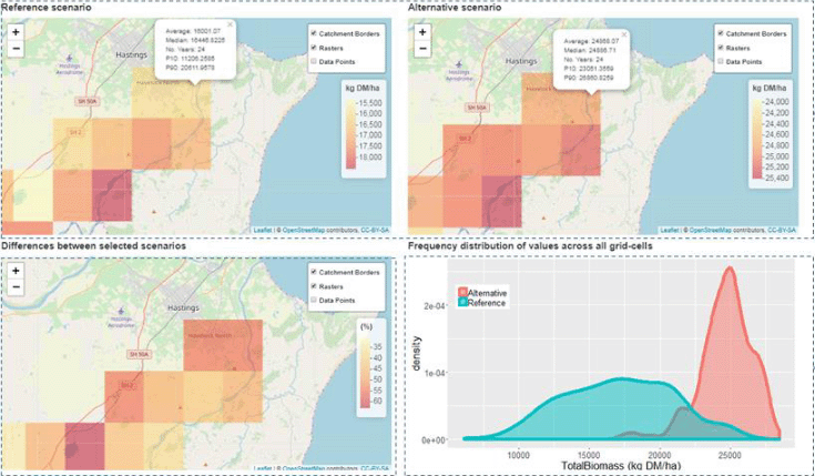
A framework to analyse how climate and soils affect farming landscapes.