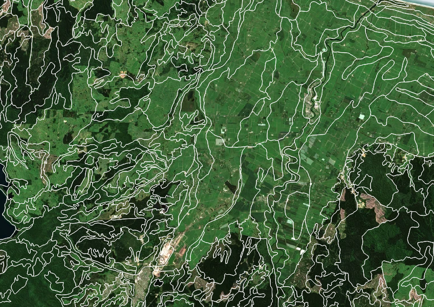
Fundamental Soils Layer (FSL) - South Island
Whenua
Soil
Sustainability
Get high-level soil classification data for Te Wai Pounamu to help with land use decisions.
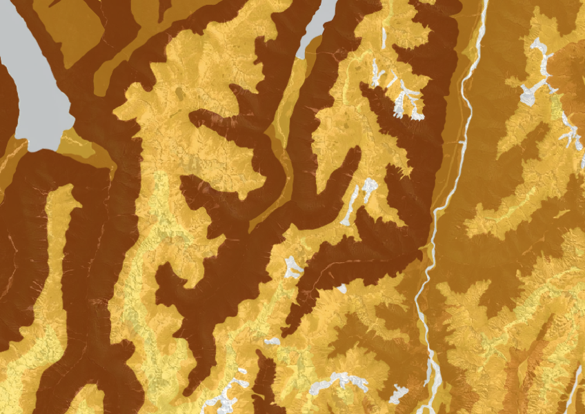
The Fundamental Soils Layer (FSL) shows the cation exchange capacity (CEC) of your soil. CEC measures how well your soil can hold onto positively charged nutrients, which is important for plant growth. This information can help you make better land use decisions like whether to use fertiliser and how much you might need to apply.
It is important to note that this layer combines information from various regional soil databases collected over several decades so may not be accurate at small scales. You'll need a mapping tool like QGIS to make best use of the data.
Licensed under Creative Commons Attribution 4.0 International.
Get high-level soil classification data for Te Wai Pounamu to help with land use decisions.
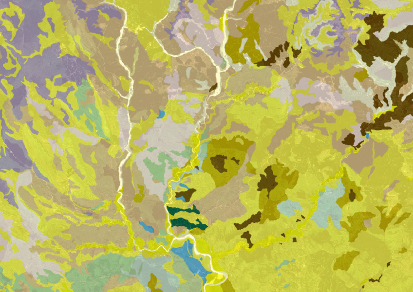
Get a better understanding of soil types on your whenua and across Aotearoa.
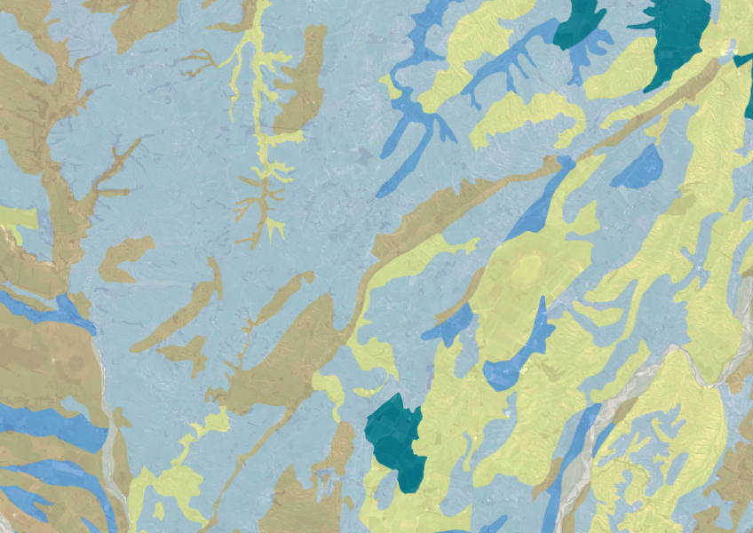
Explore soil drainage classes for land use and growth insights.
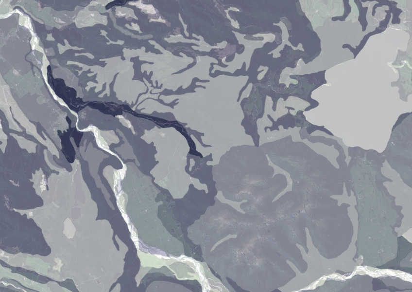
Data on gravel content in topsoil across New Zealand, useful for land use planning.
Get high-level soil classification data for Te Ika a Māui to help with land use decisions.
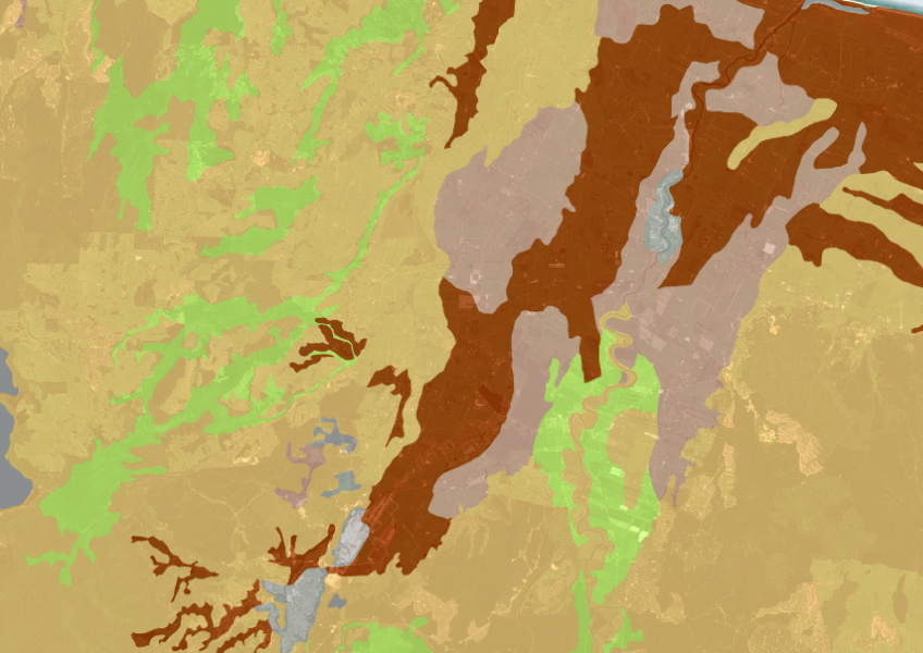
A dataset that estimates soil temperature across the motu.
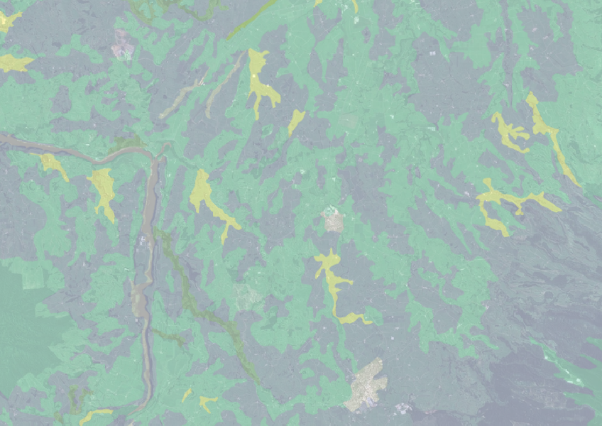
Find how deep you go before soil drainage slows across New Zealand.

Explore how land use affects soil and water quality across New Zealand catchments.
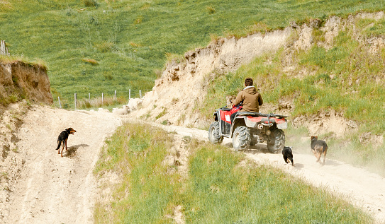
A comprehensive dataset of Aotearoa farm financial, production, and environmental data for research use.
Explore ways to boost soil carbon through diverse plants, better grazing, and smart irrigation.
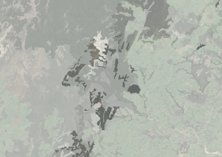
Understand how rocky your whenua is so you can make better land use decisions.
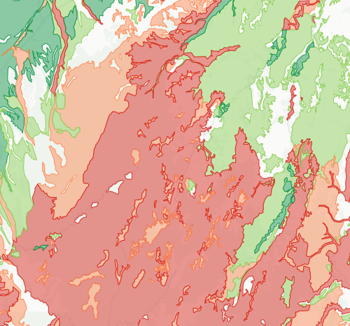
Check how likely nitrogen is to leach through your soil
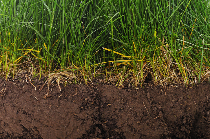
Find factsheets about how to manage different Northland soils.

This widely used map estimates the land's potential for agricultural production.
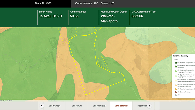
Explore different regulatory, soil, water, and land potential maps for your whenua.

See how susceptible your soil and climate are to nitrogen loss each month.
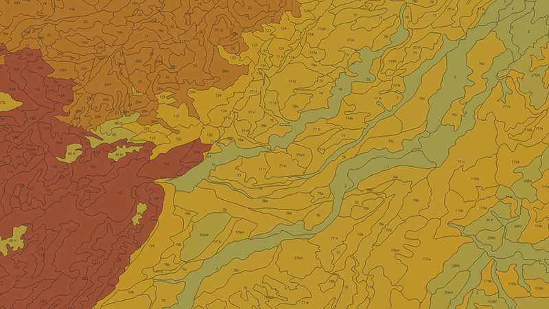
Learn how to measure and map soil carbon to reduce agricultural greenhouse gas emissions.
Compare nitrogen and phosphorus levels in your rivers against national bottom lines.

An interactive tool to help you see how soil chemistry affects plant growth across Aotearoa.
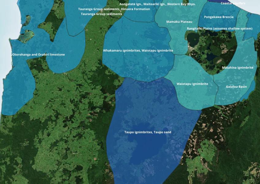
Find out where you might be able to access groundwater in your rohe.
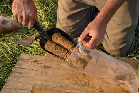
Follow the science of how carbon builds up in soil, and why NZ's stocks are unusually high.
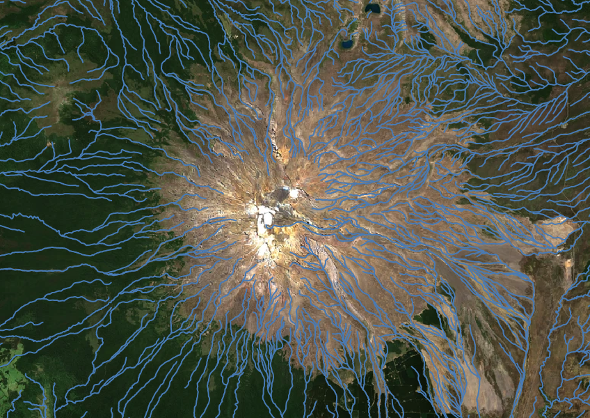
Download a dataset of named and unnamed river lines data for use in your analysis.