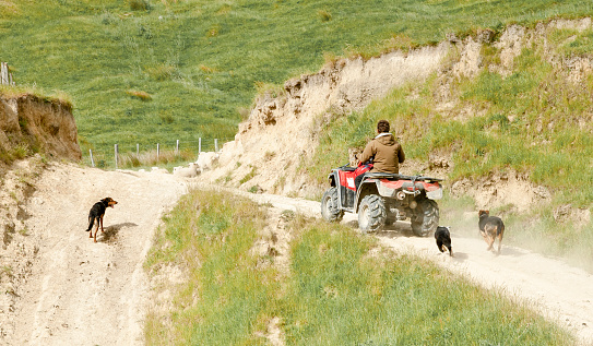
New Zealand Monitor Farm Data
Climate
Agribusiness
Dairy
Emissions reduction
Livestock
Productivity
Sheep and beef
A comprehensive dataset of Aotearoa farm financial, production, and environmental data for research use.
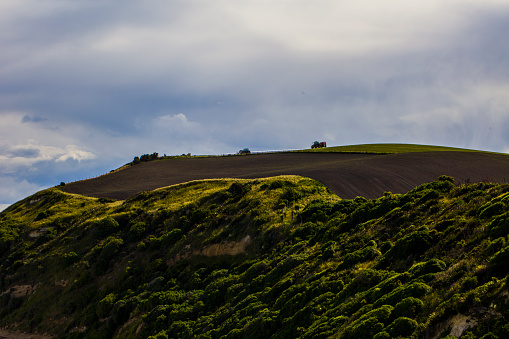
AgriBase is a comprehensive database that maps about 144,500 farms and properties. It includes livestock farms, horticulture, viticulture, forestry, lifestyle blocks, and conservation estates. Each farm has a unique ID and detailed information such as the type of farm, size, animal numbers, and which crops are planted.
You might be allowed to access AgriBase data for planning, understanding land changes, and improving food safety. AgriBase can also assist in emergency situations by locating farms impacted by diseases or natural disasters.
A comprehensive dataset of Aotearoa farm financial, production, and environmental data for research use.
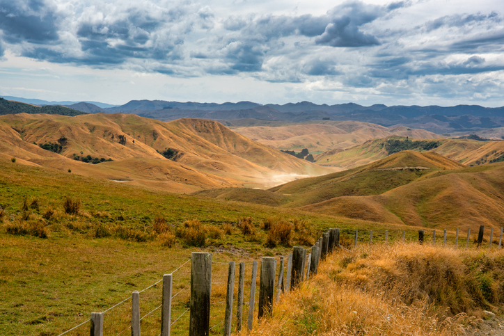
Research about how livestock farms in Aotearoa manage droughts.

This widely used map estimates the land's potential for agricultural production.

See land cover in Aotearoa and how it has changed over time.
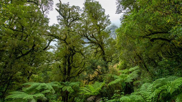
A comprehensive database archive of historical research about indigenous forests in Aotearoa.
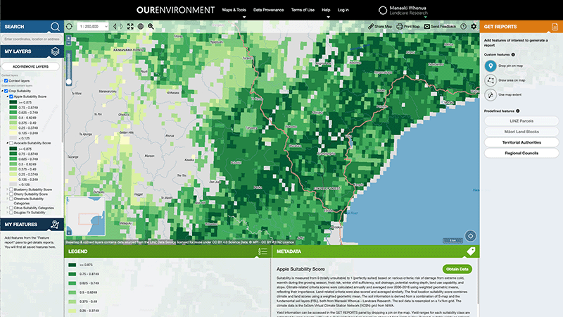
Explore New Zealand’s environment with interactive maps and data on various themes.
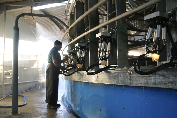
Explore national data about dairy herds and production.
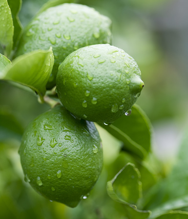
Quickly and easily compare farm emissions data for different countries.

Explore sea-level rise projections for New Zealand’s coasts, with local impacts and maps available.
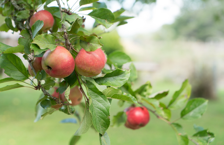
See how well suited the whenua in your rohe is to growing apples.
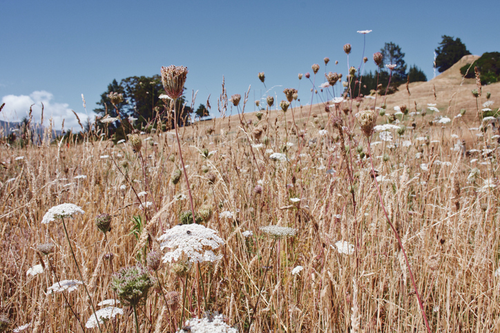
Find out how to identify and control 78 common weeds.
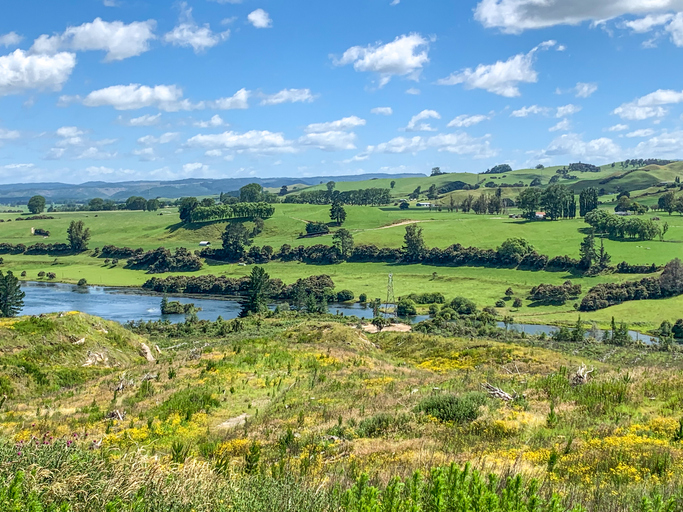
These reports break down Aotearoa's greenhouse gas emissions by sector and type.
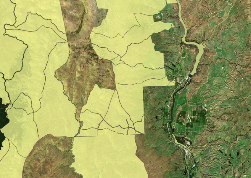
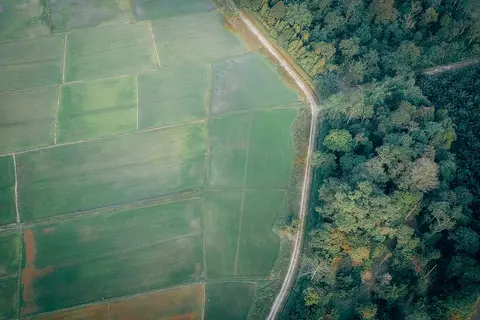
Learn to map your farm with easy webinars on using Google My Maps for project planning.
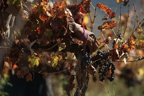
Compare planted and producing vineyard hectares by region and grape variety, year by year.
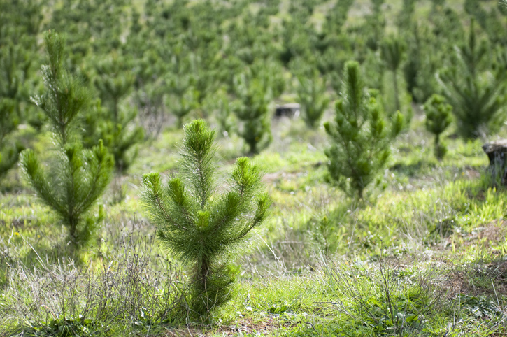
Neil Cullen shares tips on planning successful farm forestry mixed with sheep and beef in Balclutha.
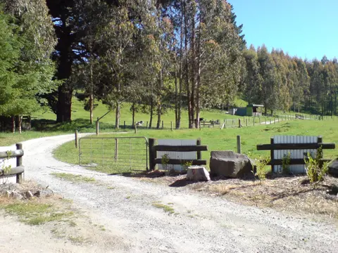
A guide to integrated farm planning principles and support for farmers in Aotearoa.
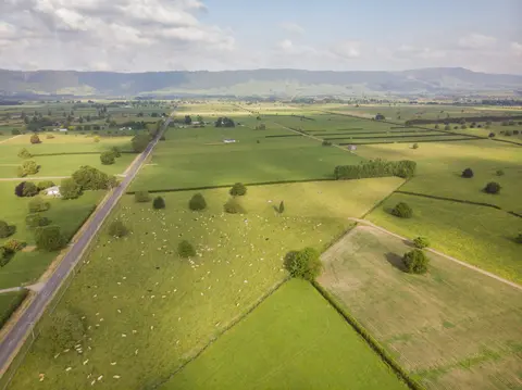
Explore the tools that help you map where your farm's emissions come from.
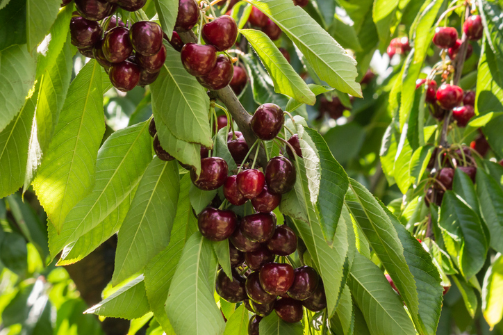
Explore how well suited the whenua in your rohe is to growing cherries.
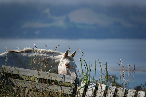
A comprehensive dataset that tracks how rural land is used across Aotearoa.
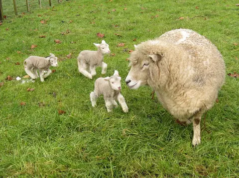
This report explores future options to reduce agricultural greenhouse gas emissions in New Zealand.
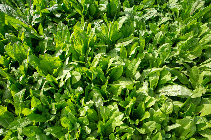
This guide explains effective forage cropping management for livestock.